- Voir les favoris
See photos (4)
L'Aiguillon from Les Hières
Sport, Pedestrian sports, Hiking itinerary
in La Grave
7.8
km
2h 30min
Medium
-
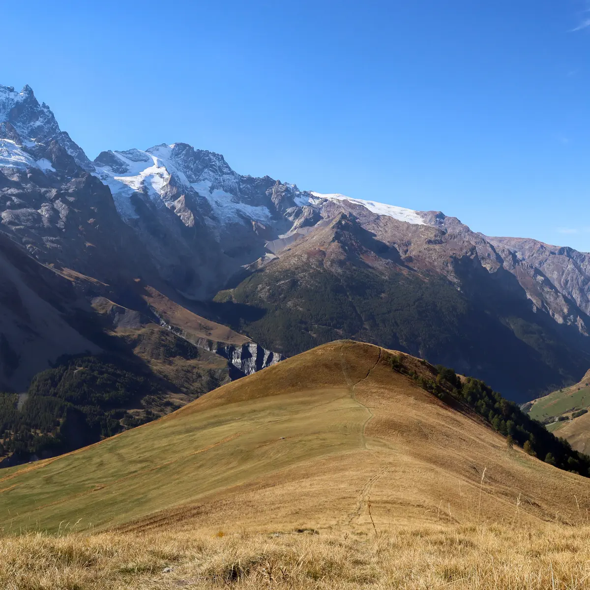
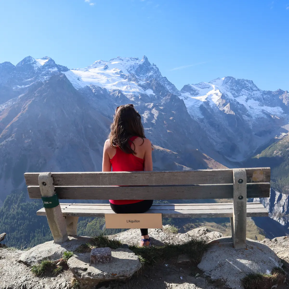
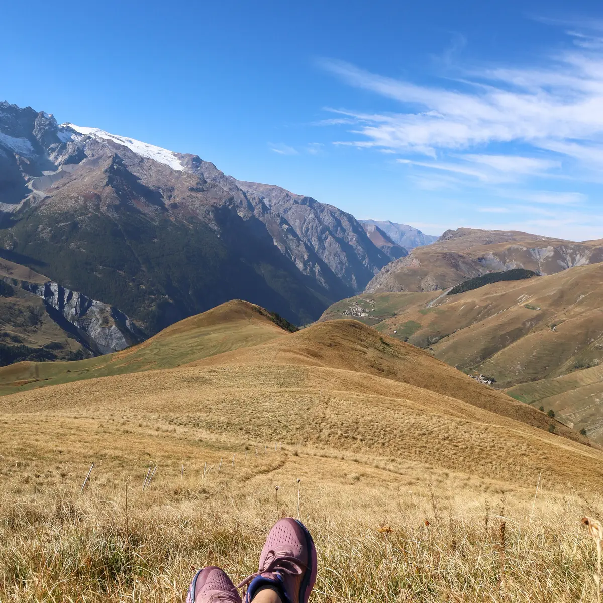
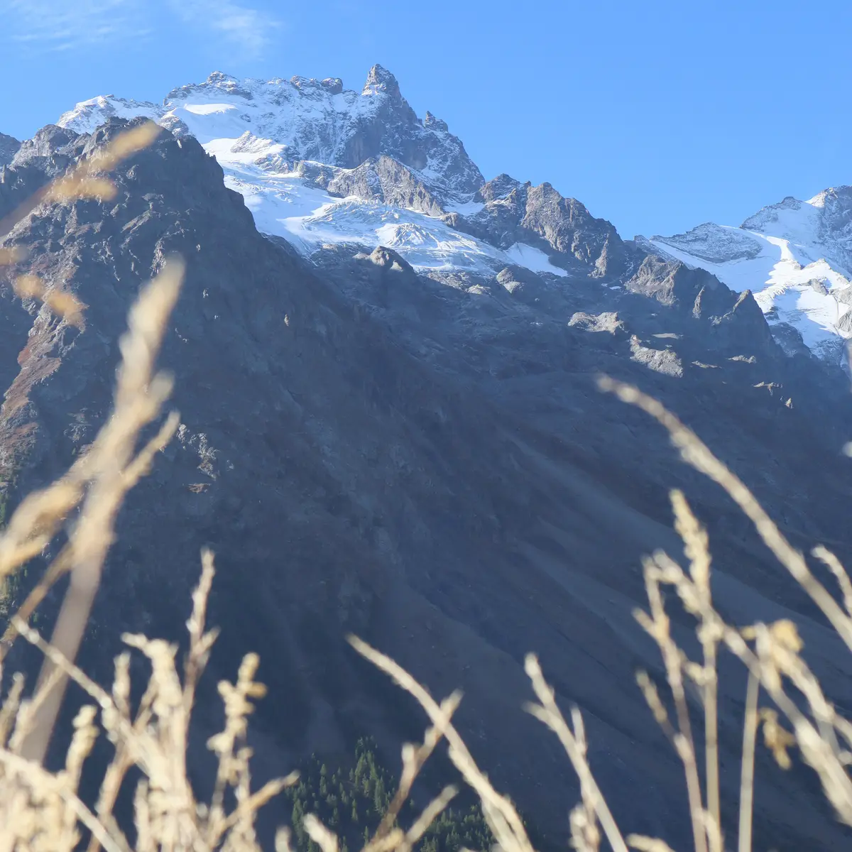
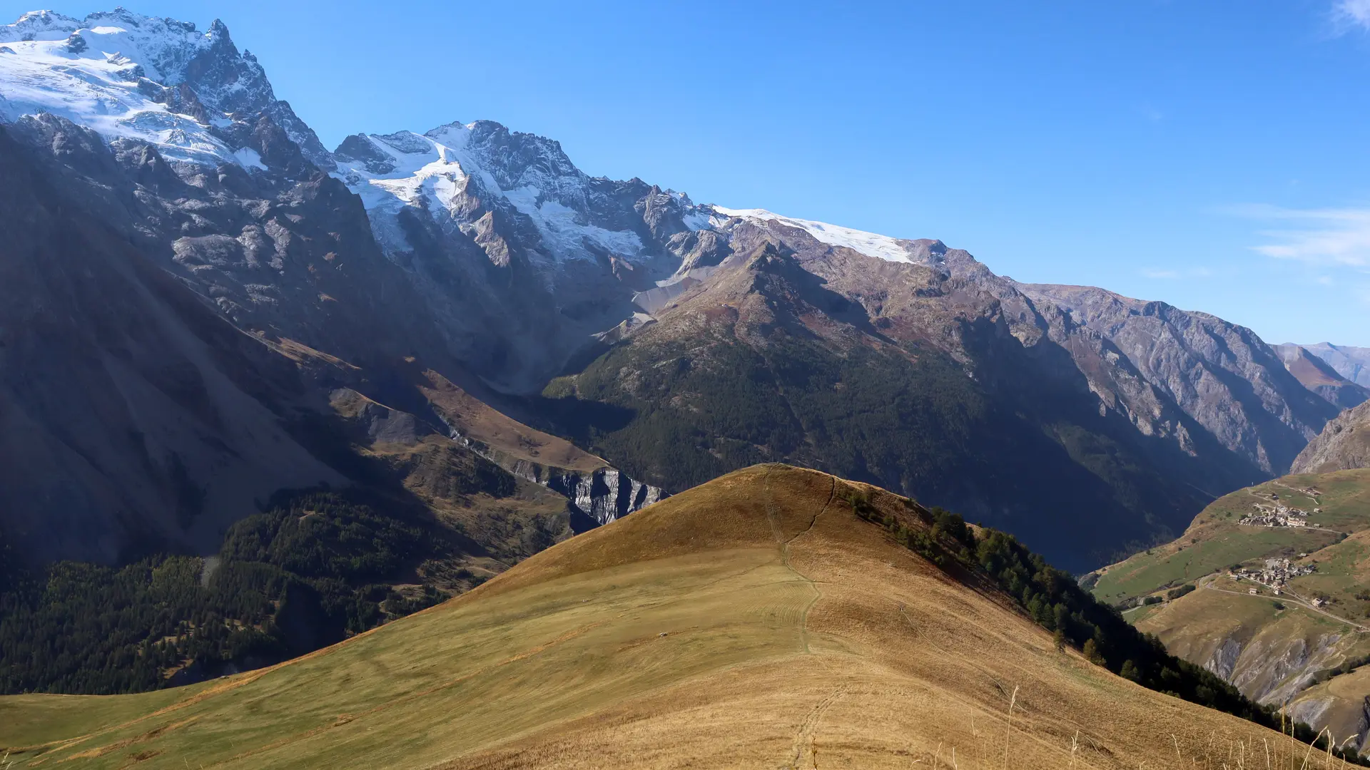
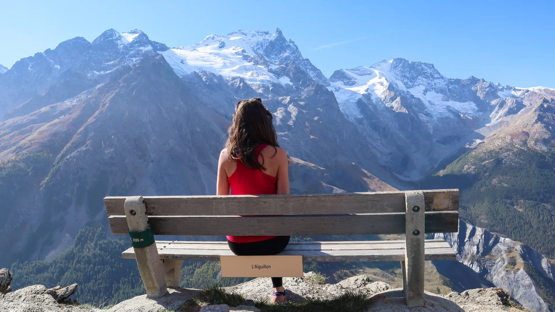
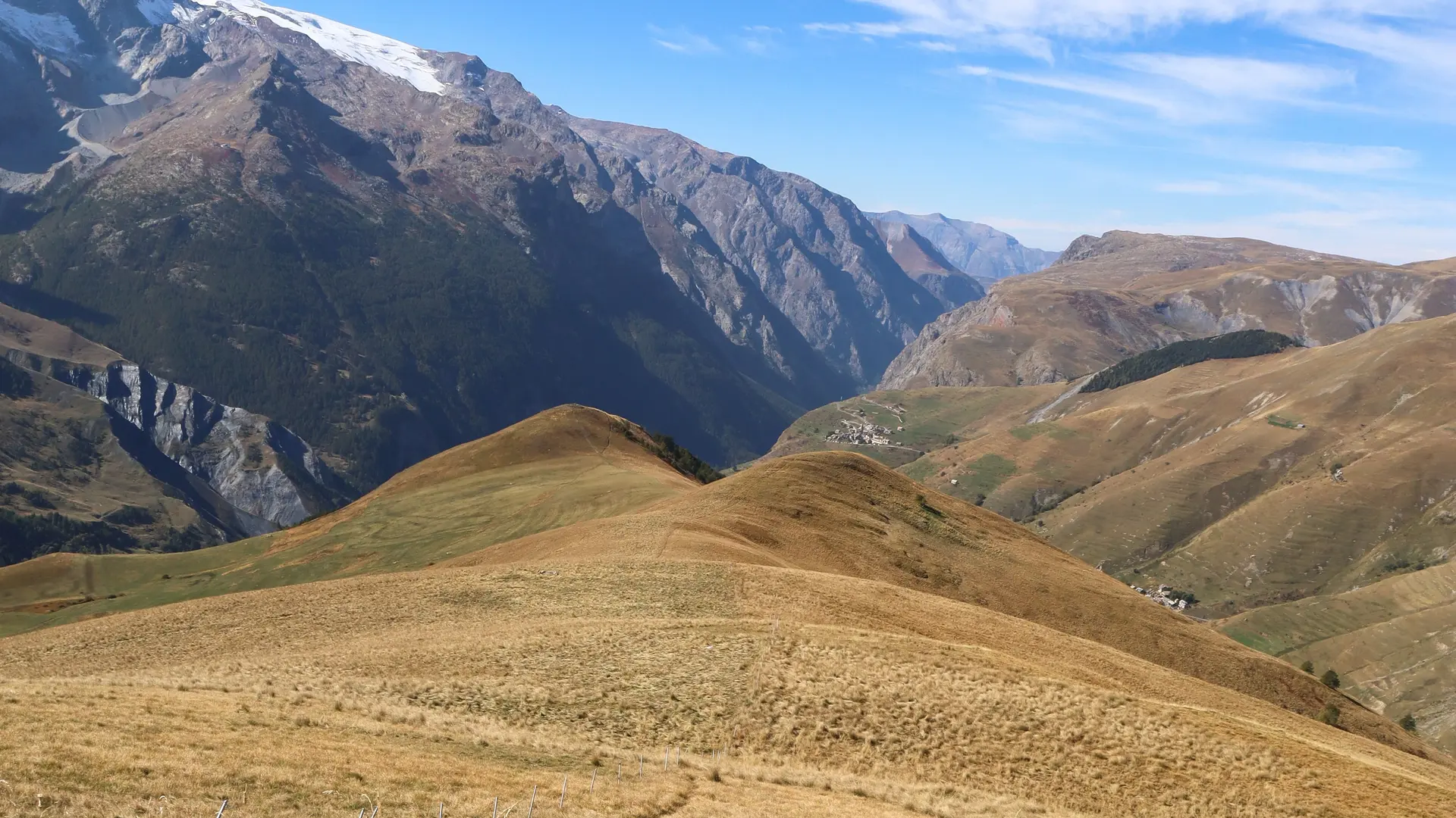
Starting from the village of Les Hières (1770m), this route takes you up to the Aiguillon (2095m), a viewpoint offering 360° panoramic views of the Meije region.
-
From the entrance to the village of Les Hières, follow the carriage path along the valley towards Valfroide /Entraigues.
Cross the torrent du Maurian at the small wooden bridge on the right;
Then take the narrow path up to l'Aiguillon. Allow 1h30 to reach the summit.
For the return journey, follow the same route.
- Departure
- La Grave
-
-
Difference in height
- 322.964 m
-
-
-
Plain text period
-
From 15/05 to 30/11 daily.
Subject to favorable snow and weather conditions.
-
-
-
Environment
-
-
-
Spoken languages
-
-
-
Documentation
- GPX / KML files allow you to export the trail of your hike to your GPS (or other navigation tool)
-
-
-
Accepted customers
-
- See all reviews
- 323 meters of difference in height
-
- Maximum altitude : 2053 m
- Minimum altitude : 1745 m
- Total positive elevation : 323 m
- Total negative elevation : -323 m
- Max positive elevation : 299 m
- Min positive elevation : -149 m
Services
-
-
Services
-
