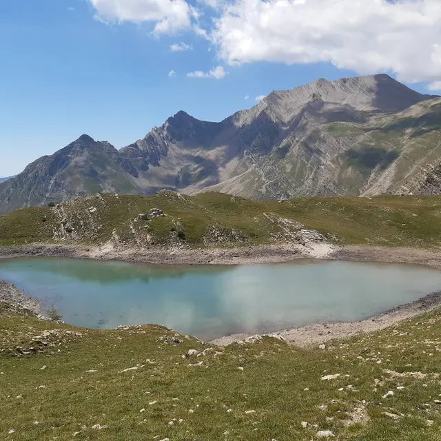
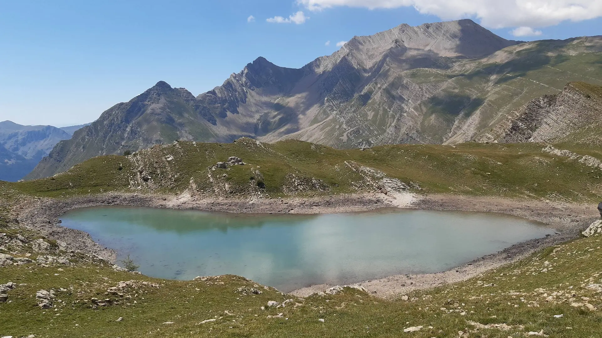
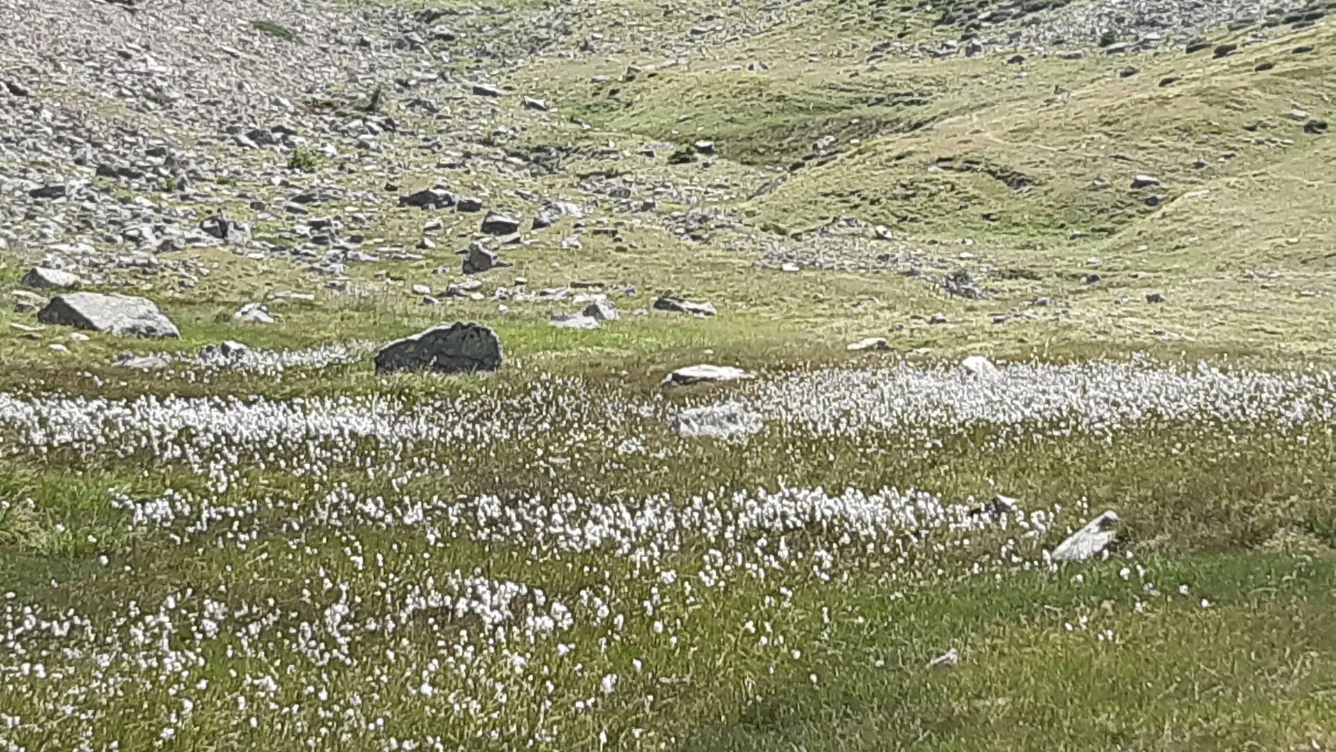
- Voir les favoris
See photos (2)
Lake Brun
Sport, Pedestrian sports, Hiking itinerary
in Réallon
14.7
km
-
Lake Brun, a true gem in the heart of a rocky landscape, rewards a long ascent through very diverse natural environments.
-
Take the road that climbs in front towards the Reyssas stream, then continue on the track. Continue left uphill when the path splits in two, then left again 50m later.
After a few hundred meters, turn left, then almost immediately right onto a small path towards Lake Brun and the Reyssas pass. Follow the winding path to the intersection marked by the Clot l'Herbous sign. Follow the signs for the Alpage de Reyssas.
Once in the pastures, a sign points to Lake Brun. Turn right and climb...Take the road that climbs in front towards the Reyssas stream, then continue on the track. Continue left uphill when the path splits in two, then left again 50m later.
After a few hundred meters, turn left, then almost immediately right onto a small path towards Lake Brun and the Reyssas pass. Follow the winding path to the intersection marked by the Clot l'Herbous sign. Follow the signs for the Alpage de Reyssas.
Once in the pastures, a sign points to Lake Brun. Turn right and climb through the pasture along the stream.
A steeper section follows. After this section, cross some wet grasslands with a stream, then take a final ascending path before the flat area that leads to the lake.
Hard
- Departure
- Réallon
-
-
Difference in height
- 1122.62 m
-
-
-
Departure : Les Méans, Réallon.
Arrival : Les Méans, Réallon.
Road access : Follow the D9 from Embrun or the D641, then the D741, which joins the D9 from Savines Le Lac..
Parking recommended : Oratoire Saint Roc car park, Les Méans .
Public transport : Public transport : ccserreponcon.com .
- See all reviews
- 1123 meters of difference in height
-
- Maximum altitude : 2332 m
- Minimum altitude : 1269 m
- Total positive elevation : 1123 m
- Total negative elevation : -1123 m
- Max positive elevation : 615 m
- Min positive elevation : -470 m
