See photos (3)

Lake Chavillon from Vallée Etroite

Sport, Pedestrian sports, Hiking itinerary in Névache
6.1 km
1h 30min
Medium
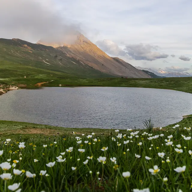
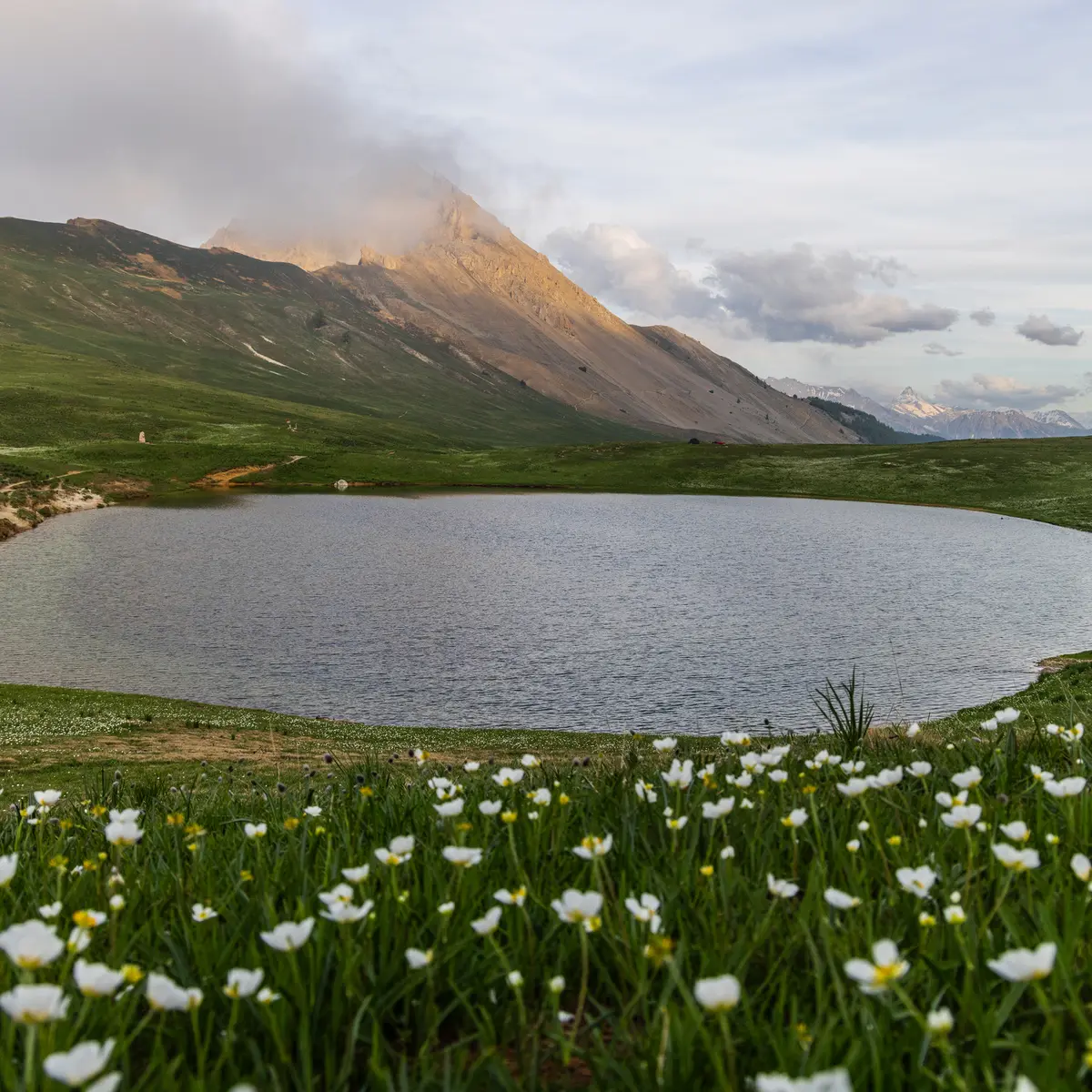
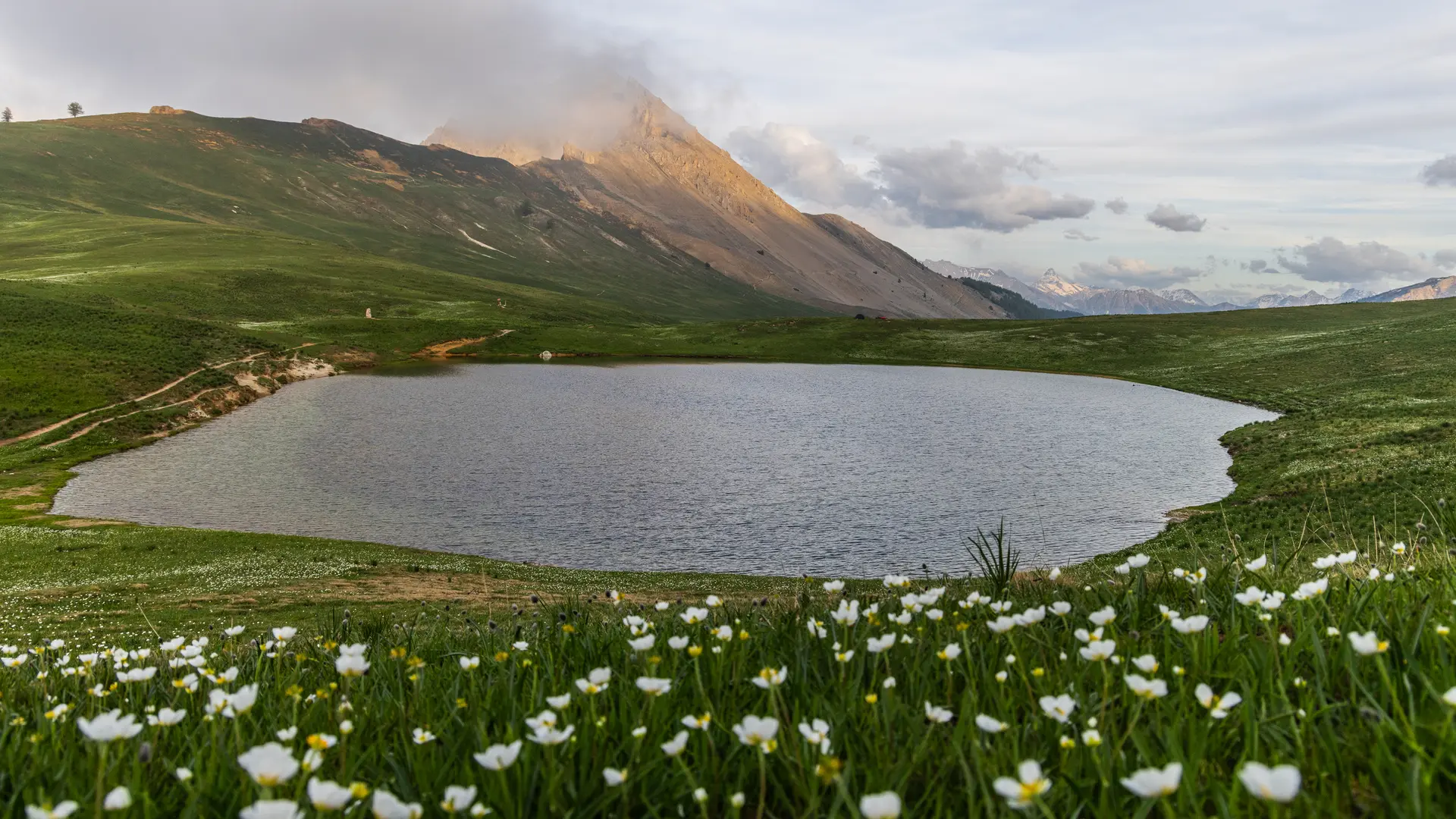
  • Discover an immersive walk through an unspoilt valley between forests and alpine pastures, leading to a magnificent valley from the Vallée Étroite.

  • From the parking lot, cross the bridge over the Combe de la Miglia, past the Edelweiss Bar-Restaurant. Take the upward path on your left towards the Terzo Alpini refuge, leaving it on your left, and follow the GR57 to Lac Chavillon on the Thures plateau.
  • Departure
    Névache
  • Difference in height
    374.054 m
  • Environment
    • Waterside
    • Mountain location
    • Presence of livestock and guard dogs
  • Spoken languages
    • French
  • Documentation
    GPX / KML files allow you to export the trail of your hike to your GPS (or other navigation tool)
  • Accepted customers
    • Level bue - Medium
374 meters of difference in height
  • Maximum altitude : 2194 m
  • Minimum altitude : 1786 m
  • Total positive elevation : 374 m
  • Total negative elevation : -374 m
  • Max positive elevation : 374 m
Services
  • Services
    • Pets welcome
      • Dogs are welcome, but must be kept on a leash due to the presence of herds.