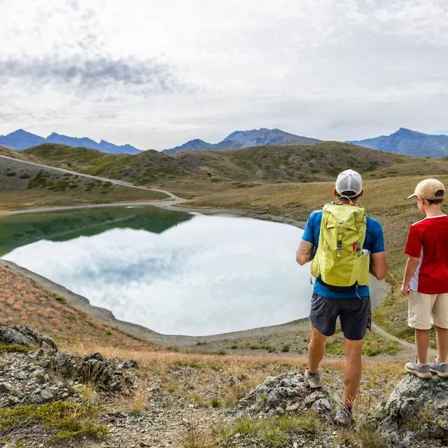
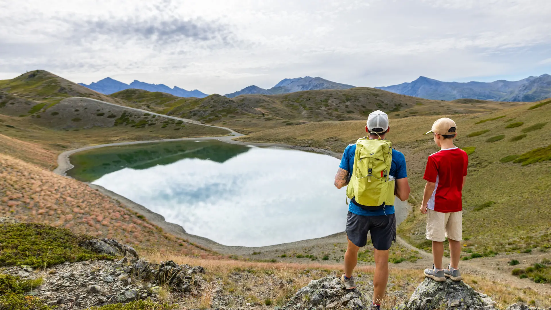
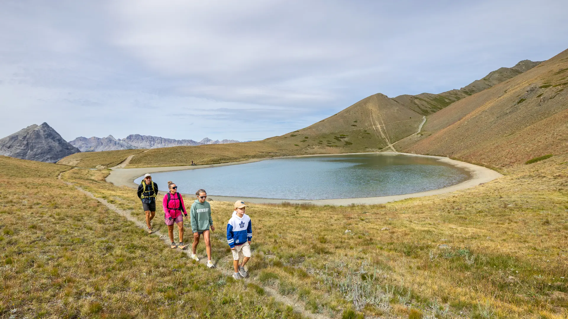
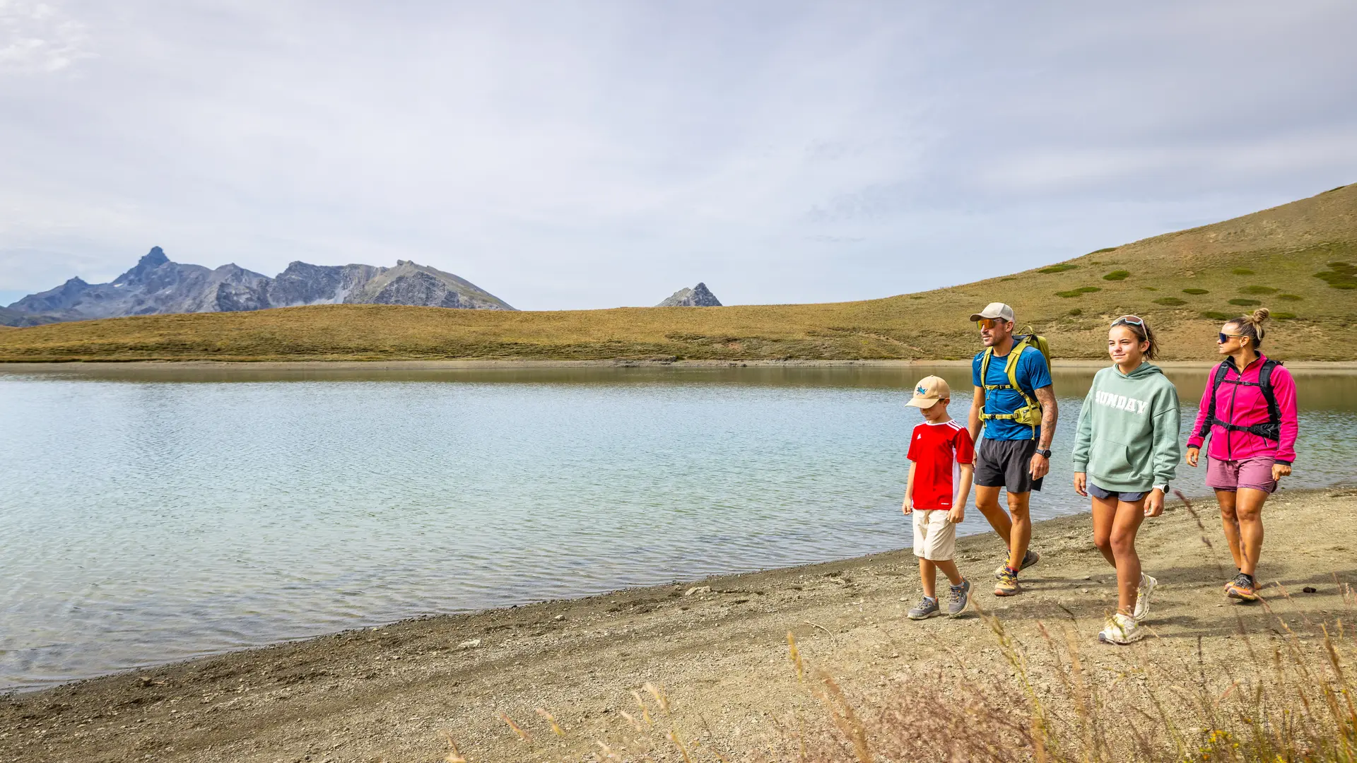
The lake extends over almost 2 hectares in the midst of the mineral landscape of the Chenaillet massif. The ridge overlooking the lake to the north forms the border with Italy, and is an easy hike with magnificent views over the Cerveyrette valley.
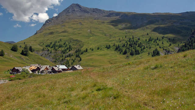
Reach the Cerveyrette valley via the D89T, then park at the parking lot just after the Mur des Aittes car park in front of the old Chau farms.
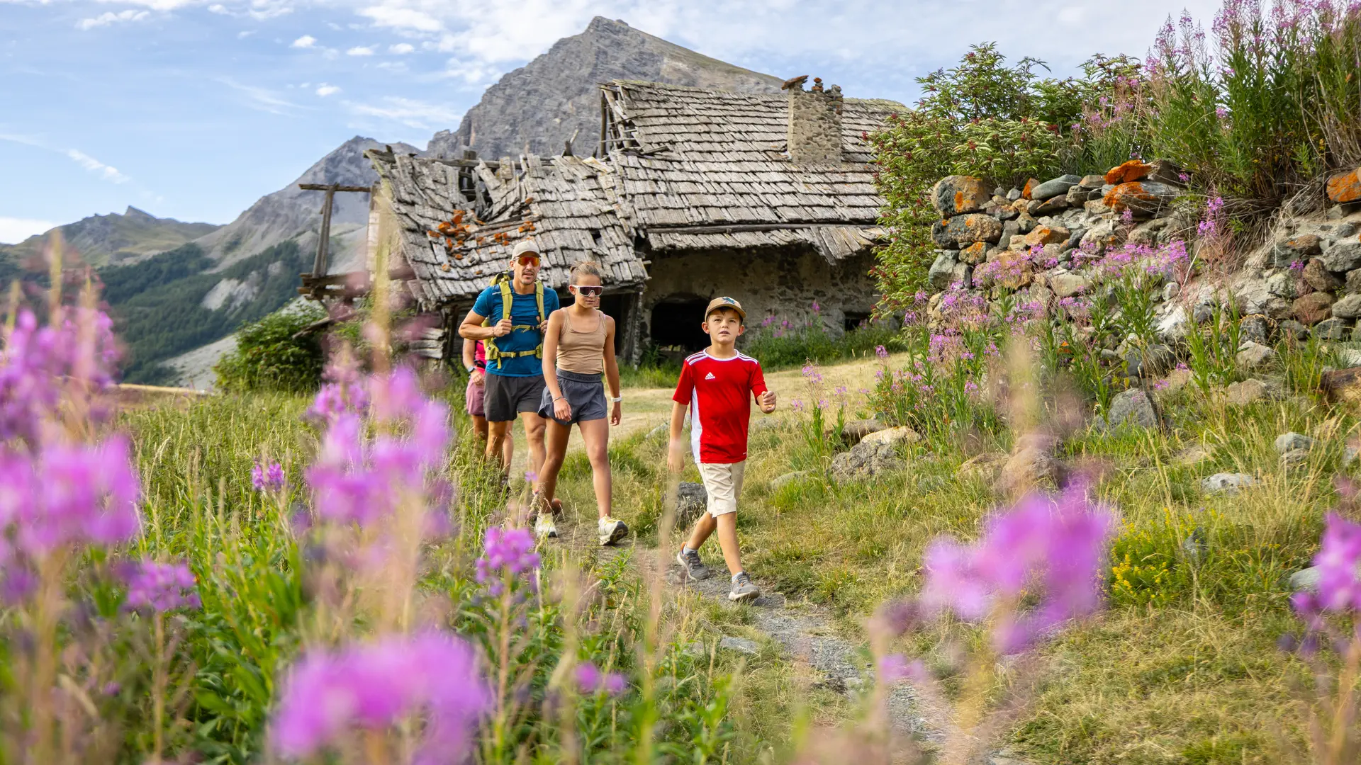
Follow the wide driveway through the chalets, then just after the Sainte-Elisabeth chapel, take the path on the left that rises towards the Fraches sheepfold (follow the Lac Noir signs). The path follows the Fraches torrent up to the imposing sheepfold.
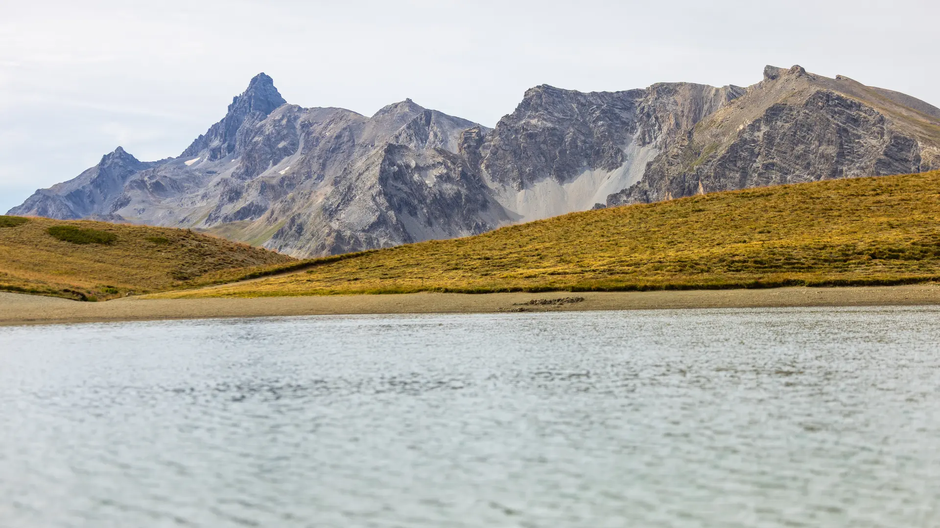
The Marais plain stretches out before you, while the imposing Lasseron summit looms large in front of you.
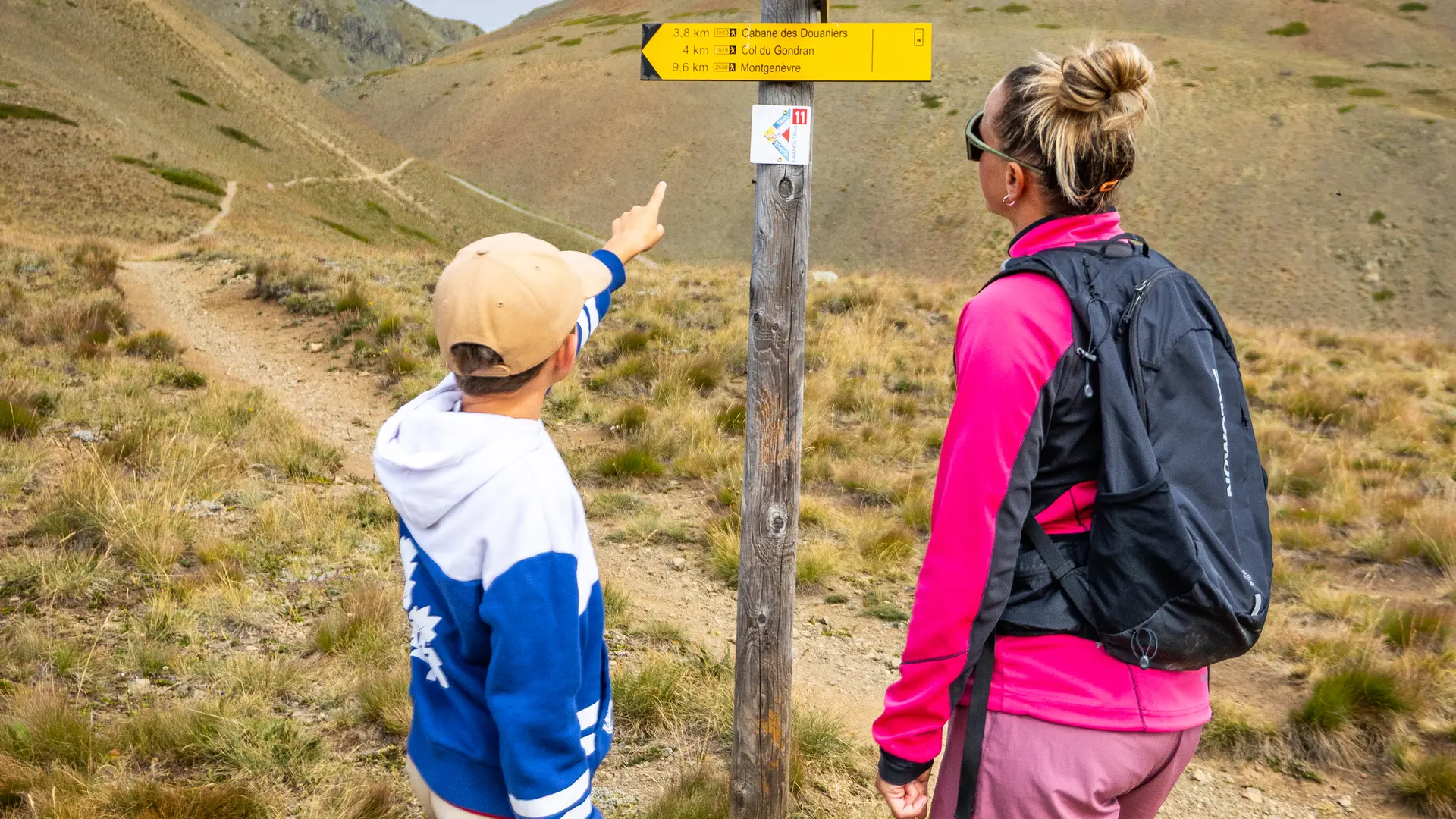
The trail continues north towards the summit of Grand Charvia, which overlooks the cirque. The route alternates between bumps and gentle slopes. At the fork just before Lac Noir, take the right-hand track towards Lac Gignoux. One kilometer further on, ignore the left-hand track and follow the path for 600 metres to the lake.
The Cime de Saurel (2449 m) overlooks the lake, while the Grand Charvia (2648 m) and the summit of Chenaillet stand out on the left.
This itinerary borders on the Rochebrune - Izoard - Vallée de la Cerveyrette Natura 2000 site. Although the route is not on a listed site, it is essential to preserve the site by staying on the trails.