By car from Villard Saint Pancrace, follow the signs for Les Ayes and park in the earthen parking lot at "Plan Peyron". Please note that traffic restrictions apply during the summer season.
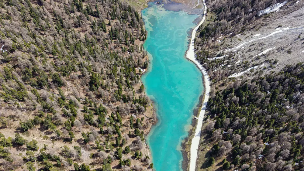
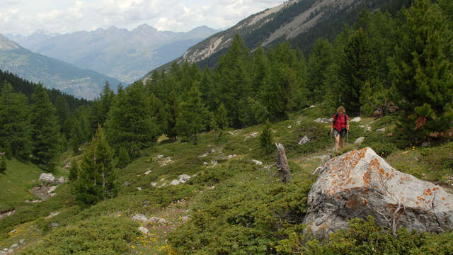
At Plan Peyron, cross the torrent de l'Orceyrette: a descriptive sign indicates the entrance to the Bois des Ayes reserve. Take the right-hand route up the torrent to the edge of the forest. The path rises slowly along the stream for about 2 km to the lake spillway.
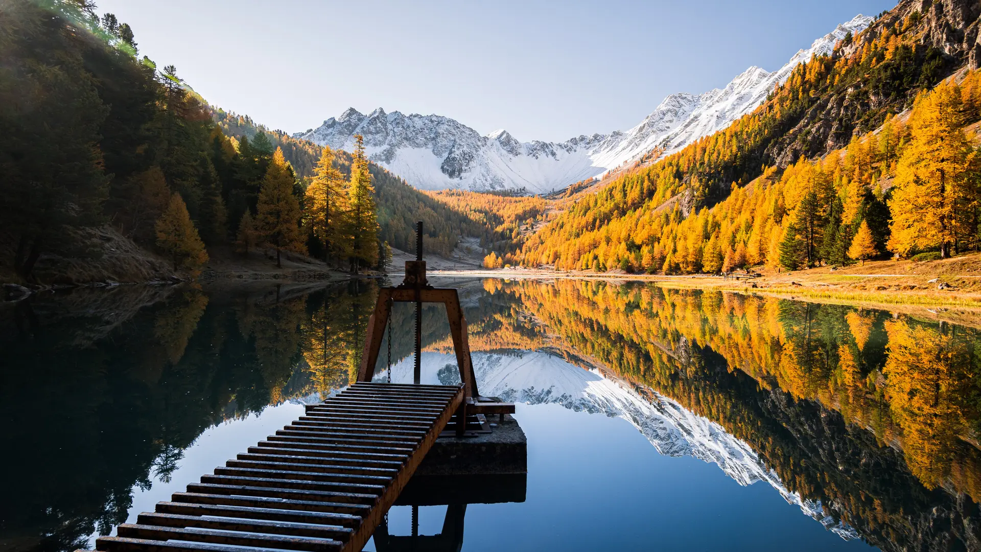
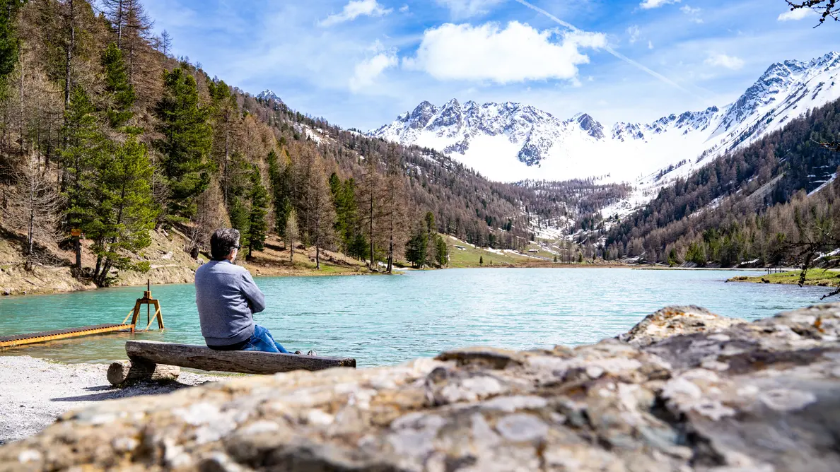
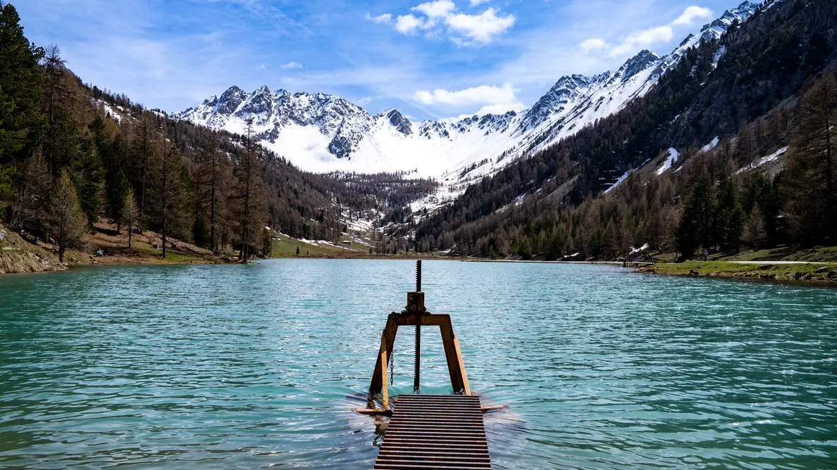
At the weir, continue left to walk around the lake. There are picnic tables, a campfire pit and a fishing pontoon for the disabled on the lakeside.
Then reach the upstream end of the lake: the path skirts around a wetland to join the track opposite. Ignore the left-hand paths leading to the chalets, then pick up the track on the right that runs alongside the lake.
Reach the weir: return by the same route on the right bank of the torrent.
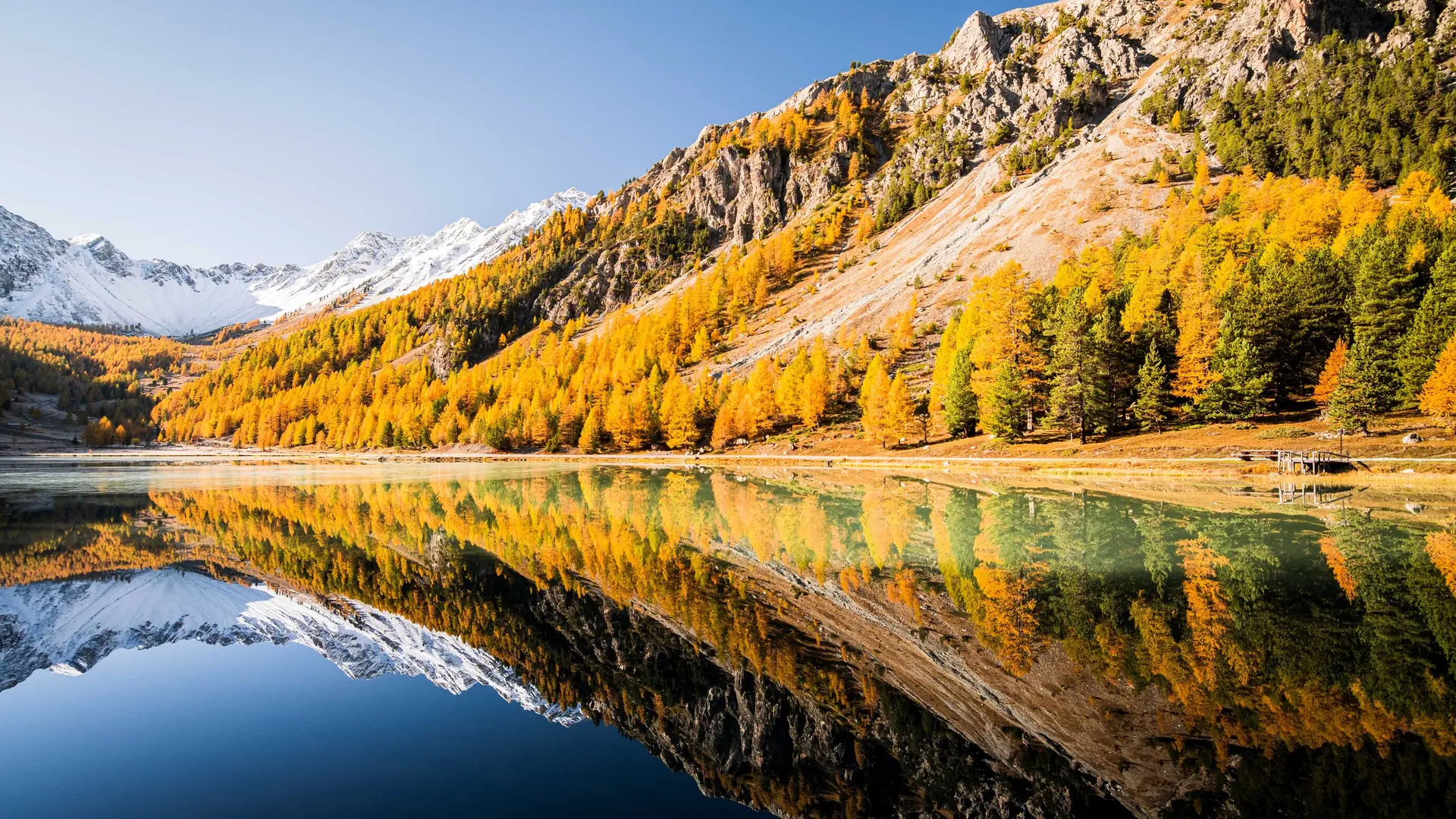
A popular site with photographers, and the setting for the Alex Hugo series, it is also a reserve home to many remarkable bird species, including the European Pygmy-Owl, Tengmalm's Owl and Black Grouse.
Certain parts of the Bois des Ayes Natura 2000 site are protected areas with specific regulations, and the law provides for fines in the event of infringement. The Bois des Ayes reserve aims to protect the nesting of woodpeckers, nocturnal birds of prey and black grouse.
The site is open to all, but don't forget to follow a few recommendations:
-stay on marked trails
-keep your dog on a leash
-behave discreetly
-photograph flowers and animals from the paths
-leave stones where they are
- do not light fires
-take away garbage