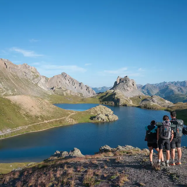
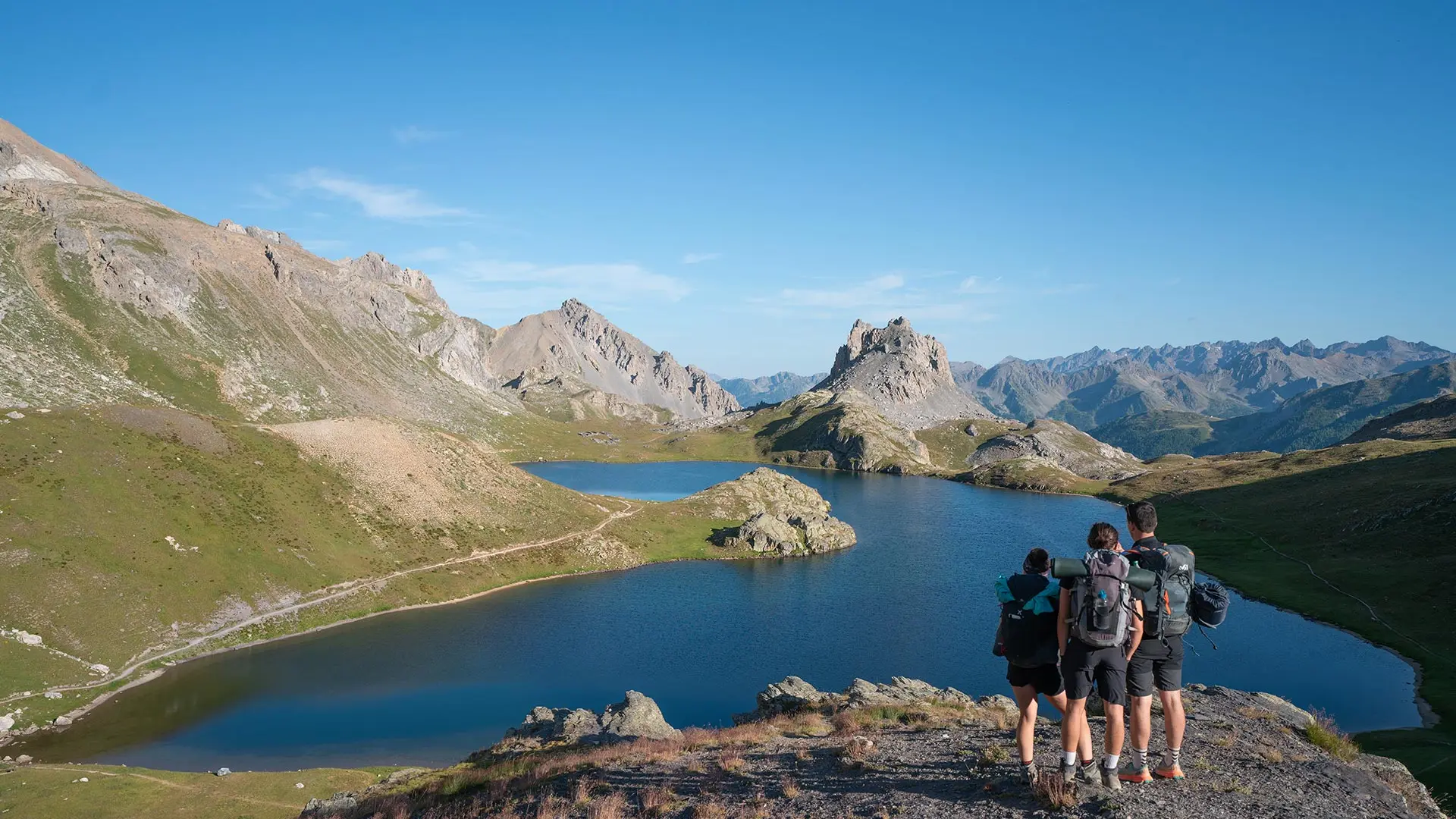
At the gateway to Mercantour National Park, discover the lakes of Oronaye and Roburent, where the high peaks of Ubaye are reflected in turquoise waters. A great outing for the whole family!
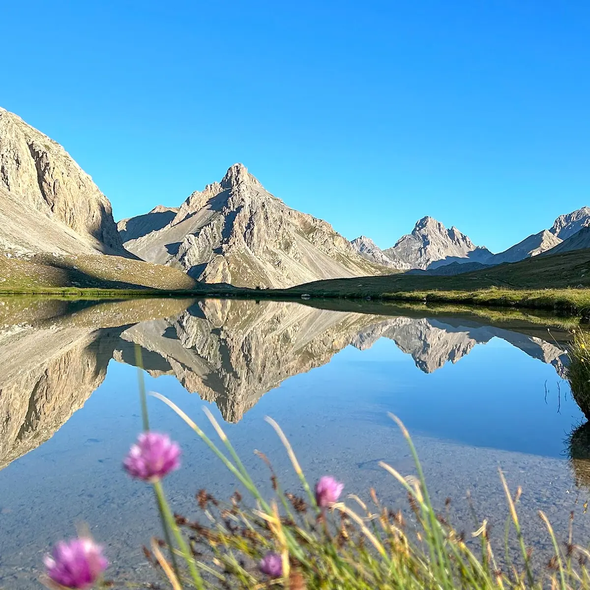
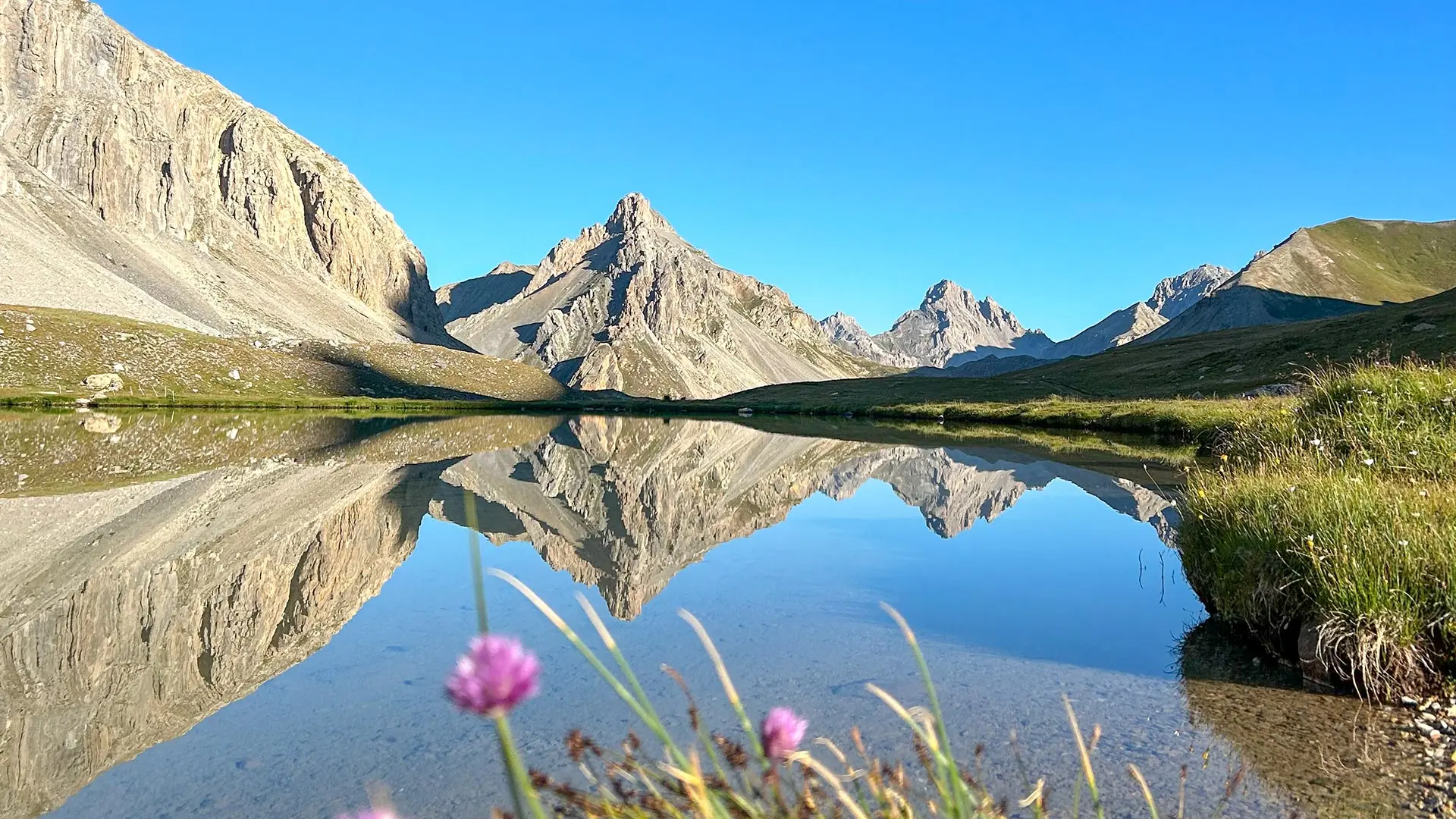
From the car park, the trail climbs along the Oronaye torrent, between Bec du Lièvre and Tête des Blaves, then opens onto a wide valley where Lake Oronaye is the ideal place for a contemplative break.
At the Col de Roburent, which marks the border with Italy, there is a breathtaking view of one of the most beautiful lakes in the Alps.
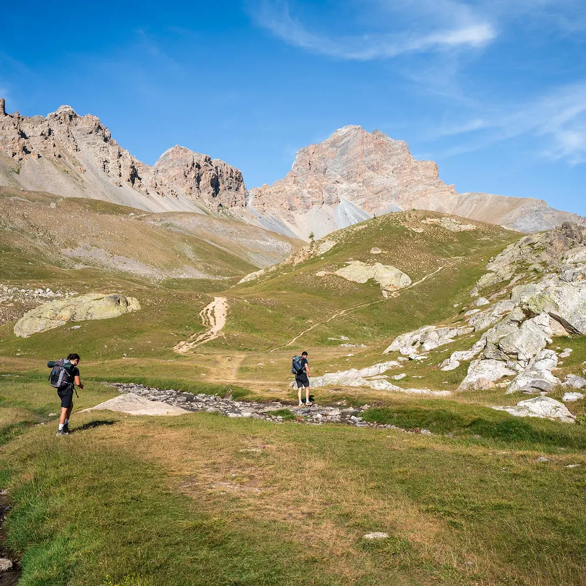
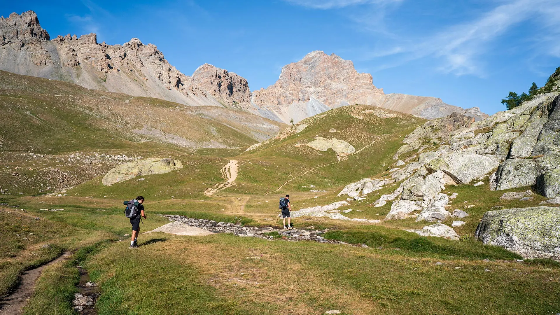
The return journey takes you under the impressive Tête de Moïse (3,104m).
Read more