- Voir les favoris
See photos (4)
Lake Verdet
Sport, Pedestrian sports, Hiking itinerary
in Jausiers
3.7
km
2h 30min
Medium
-
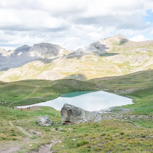
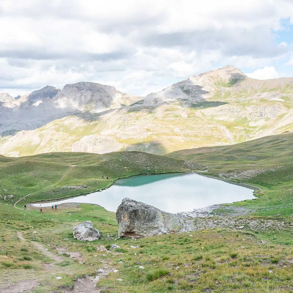
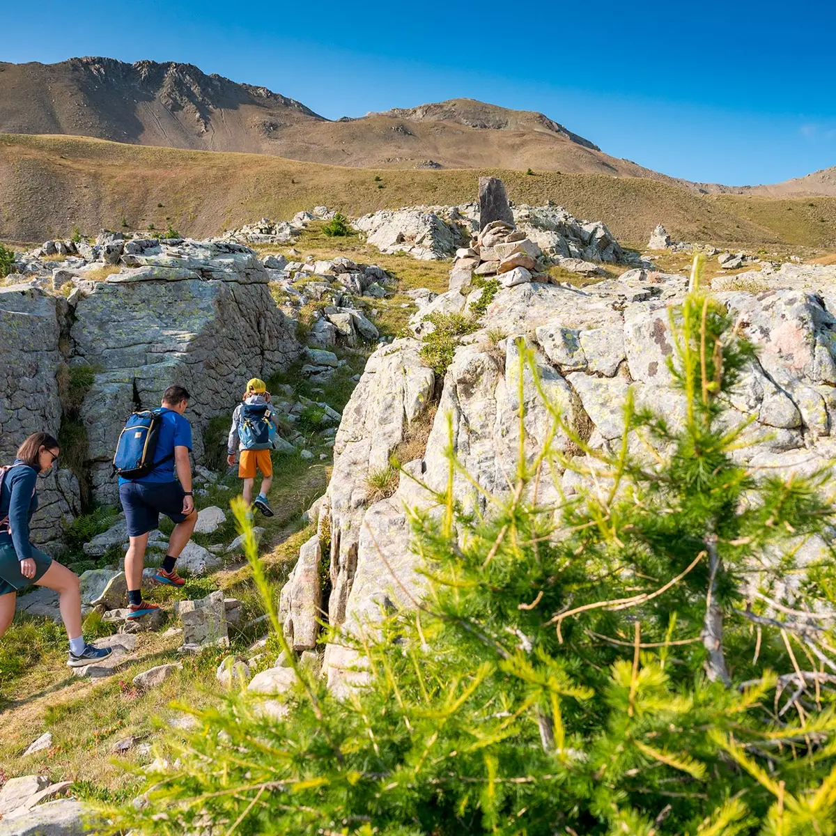
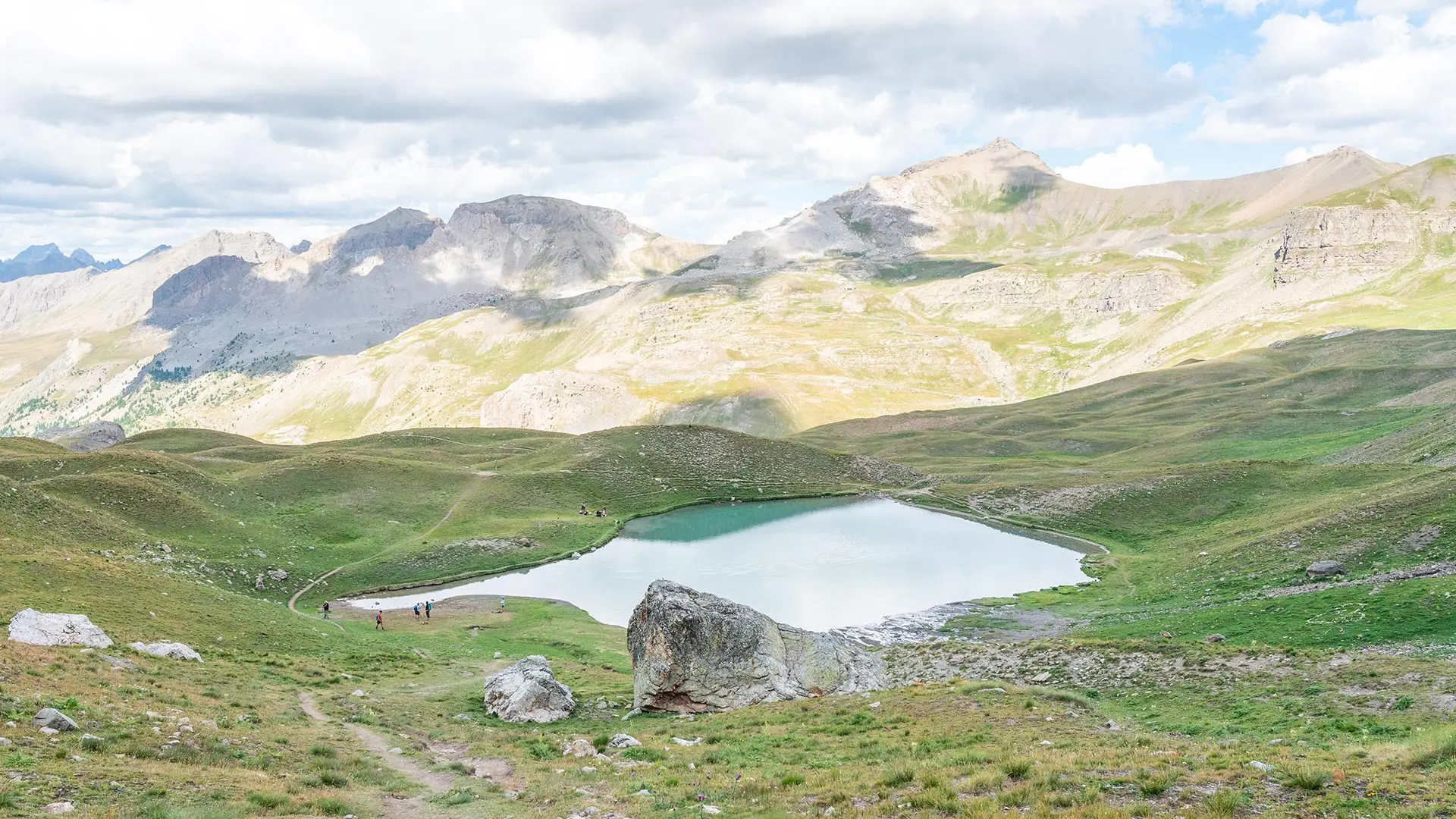
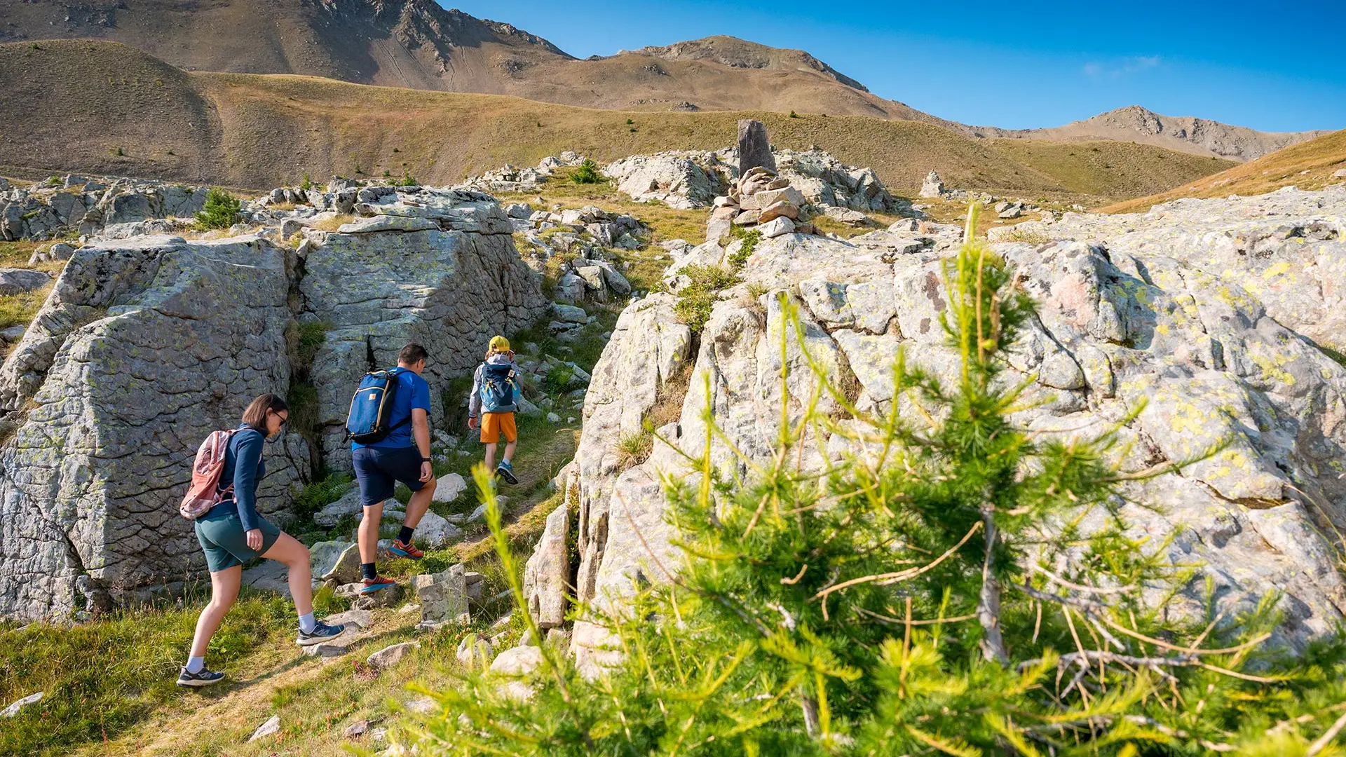
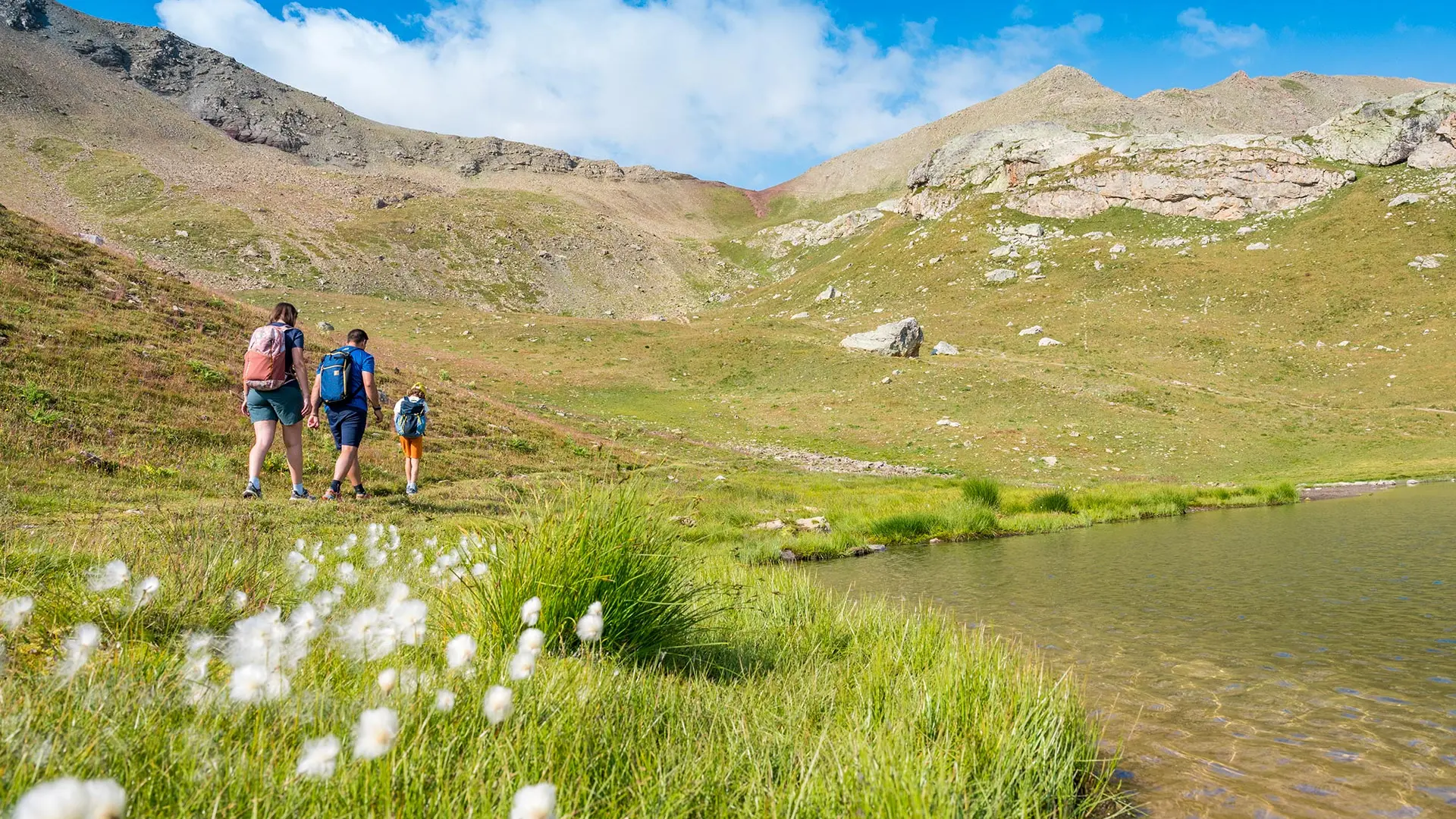
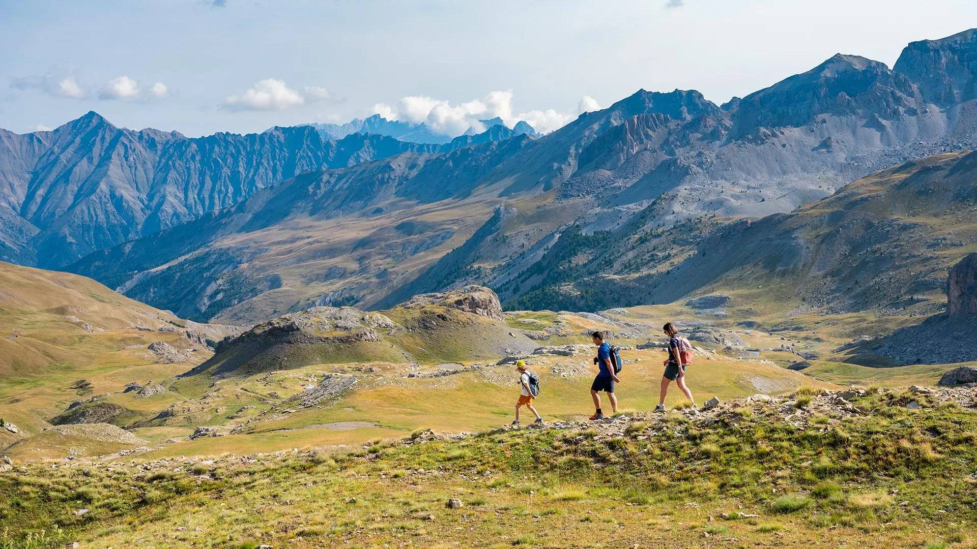
A family walk at altitude to discover a charming little lake nestled in a magnificent setting.
-
From the car park at the side of the road, the route follows an old military road on flat ground, then climbs through the mountain pastures to Lake Verdet.
- Departure
- Jausiers
-
-
Difference in height
- 106.667 m
-
-
-
Documentation
- GPX / KML files allow you to export the trail of your hike to your GPS (or other navigation tool)
-
-
-
Accepted customers
-
- See all reviews
- 107 meters of difference in height
-
- Maximum altitude : 2481 m
- Minimum altitude : 2396 m
- Total positive elevation : 107 m
- Total negative elevation : -107 m
- Max positive elevation : 43 m
- Min positive elevation : -63 m
Services
-
-
Services
-
