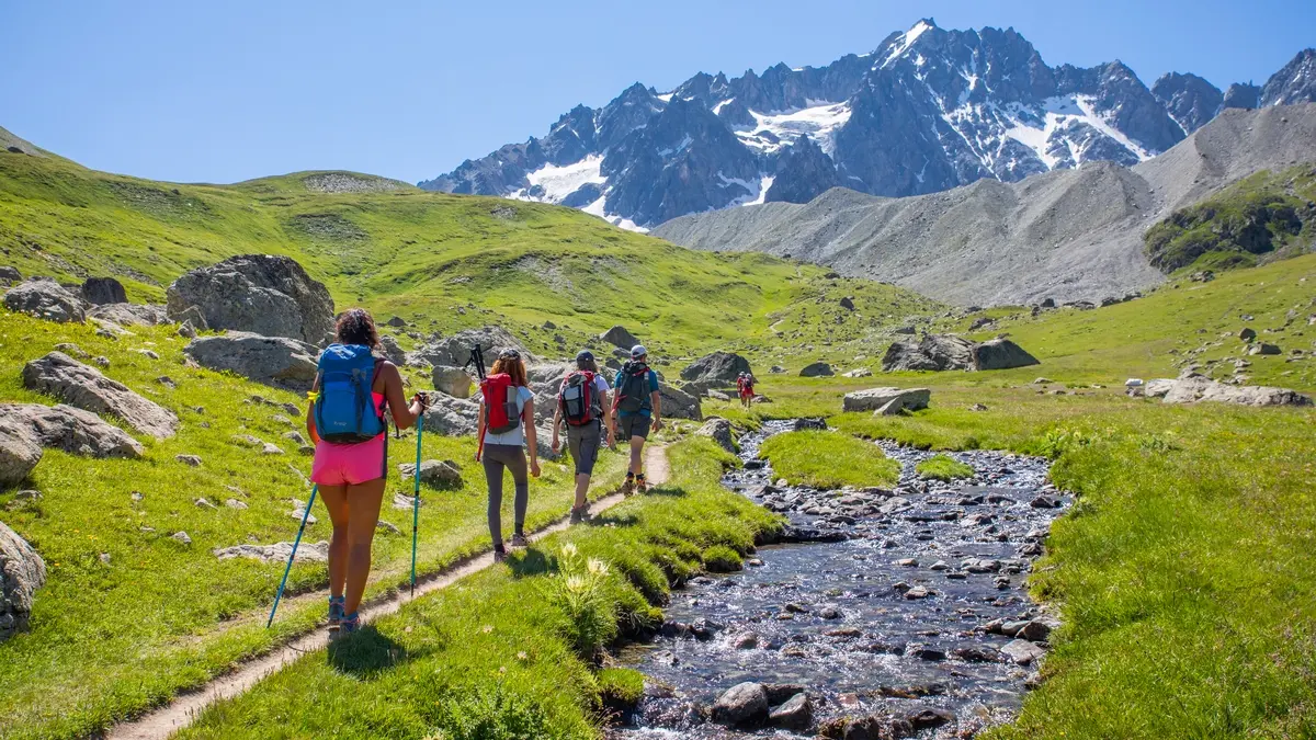
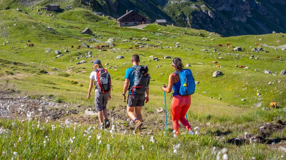
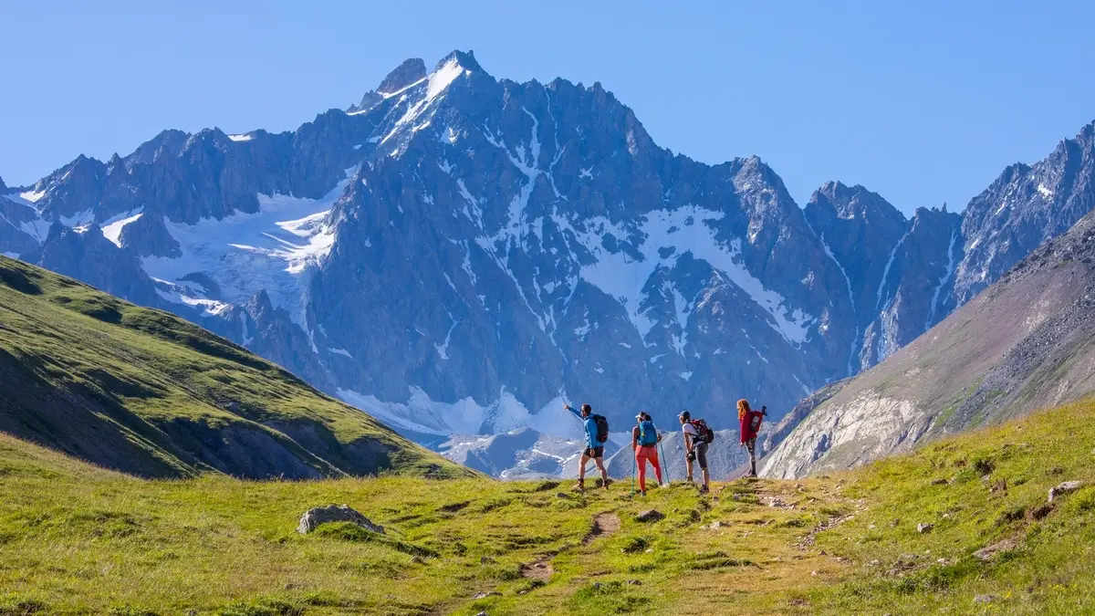
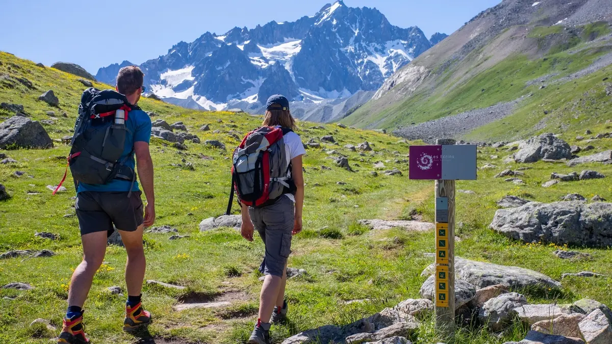
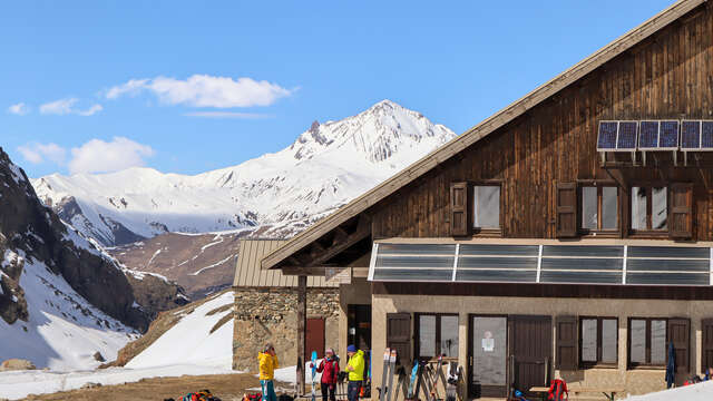
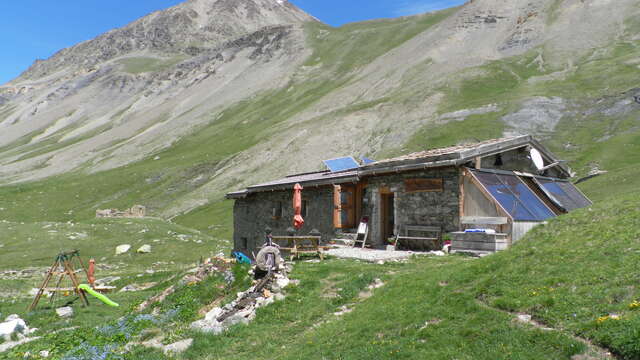
This long but technically straightforward hike takes you through a landscape that is both bucolic and majestic, into the heart of the Ecrins National Park, where you can admire moraines and glaciers up close.
Cross the Arsine bridge and follow a track to the right along the Romanche river (you can follow this stony track as far as the Gravière parking lot). At the end of the track, join the GR54 path and continue straight on. This will take you over the Voutes steep slope in a series of switchbacks.
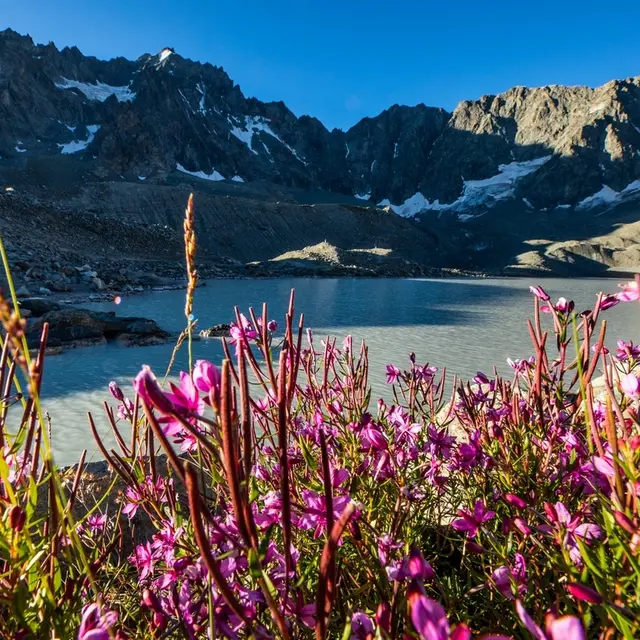
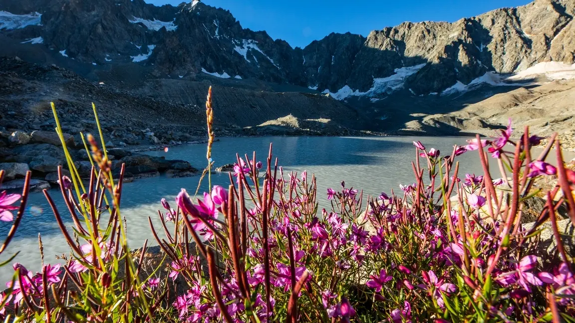
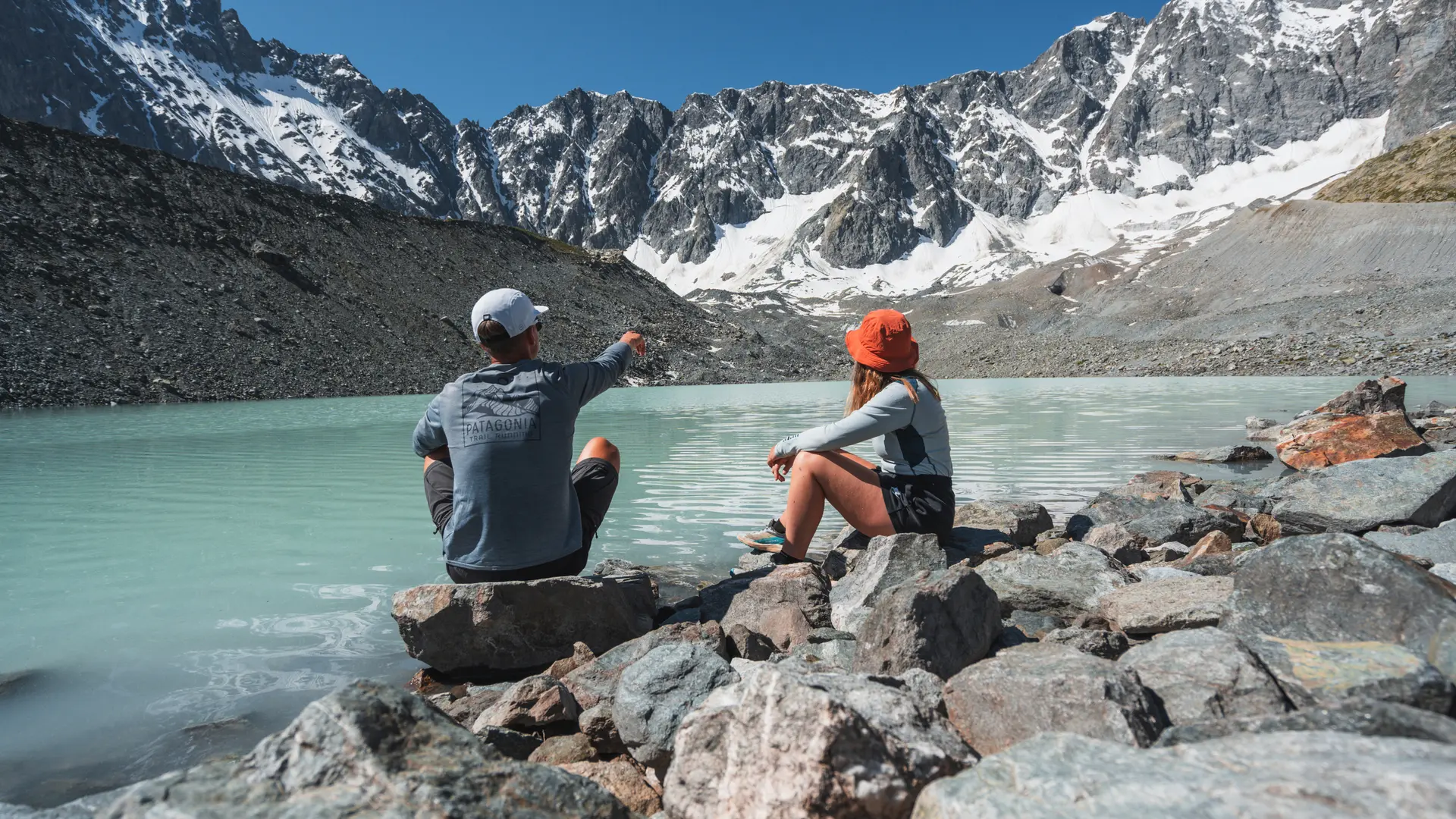
At the junction, continue left on the GR54. Leave the path leading to the Alpe de Villar refuges on your right and continue straight ahead towards the Col d'Arsine on the GR54. At the Col d'Arsine, turn right onto a narrow path that winds its way between large boulders, then climbs the imposing moraine of the Arsine glacier. The Arsine lakes lie behind. Return by the same route.
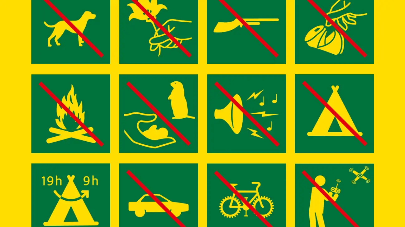
YOU'RE HIKING IN THE HEART OF THE ECRINS NATIONAL PARK. The Écrins massif is an exceptional area, open to all, with a rare natural, cultural and landscape heritage. To protect these treasures, the heart of the park is marked with blue-white-red painted flags, where regulations must be respected. Please take note of them when planning your hike to preserve this collective asset on the ecrins-parcnational.fr website.