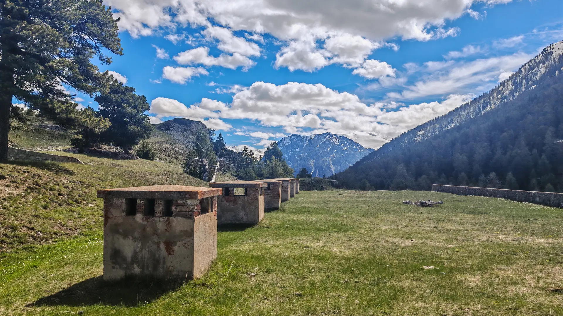
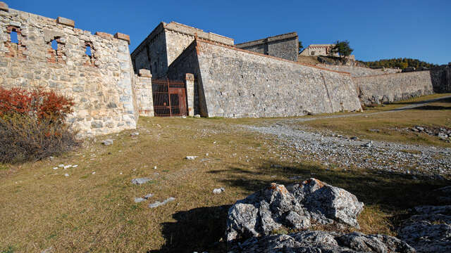
Discover a fort of the end of the XIeme century. Hike described in topographical guide FFRP " Les environs de Briançon à pied - 39 walks and hikes " - circuit N°07
The Croix de Bretagne massif is a haven for many species: deer, roe deer, chamois, foxes... you'll also come across many species of bird, such as the colorful Bec-croisé des sapins and the shrill Cassenoix moucheté. Be sure to respect their tranquillity by moving quietly.
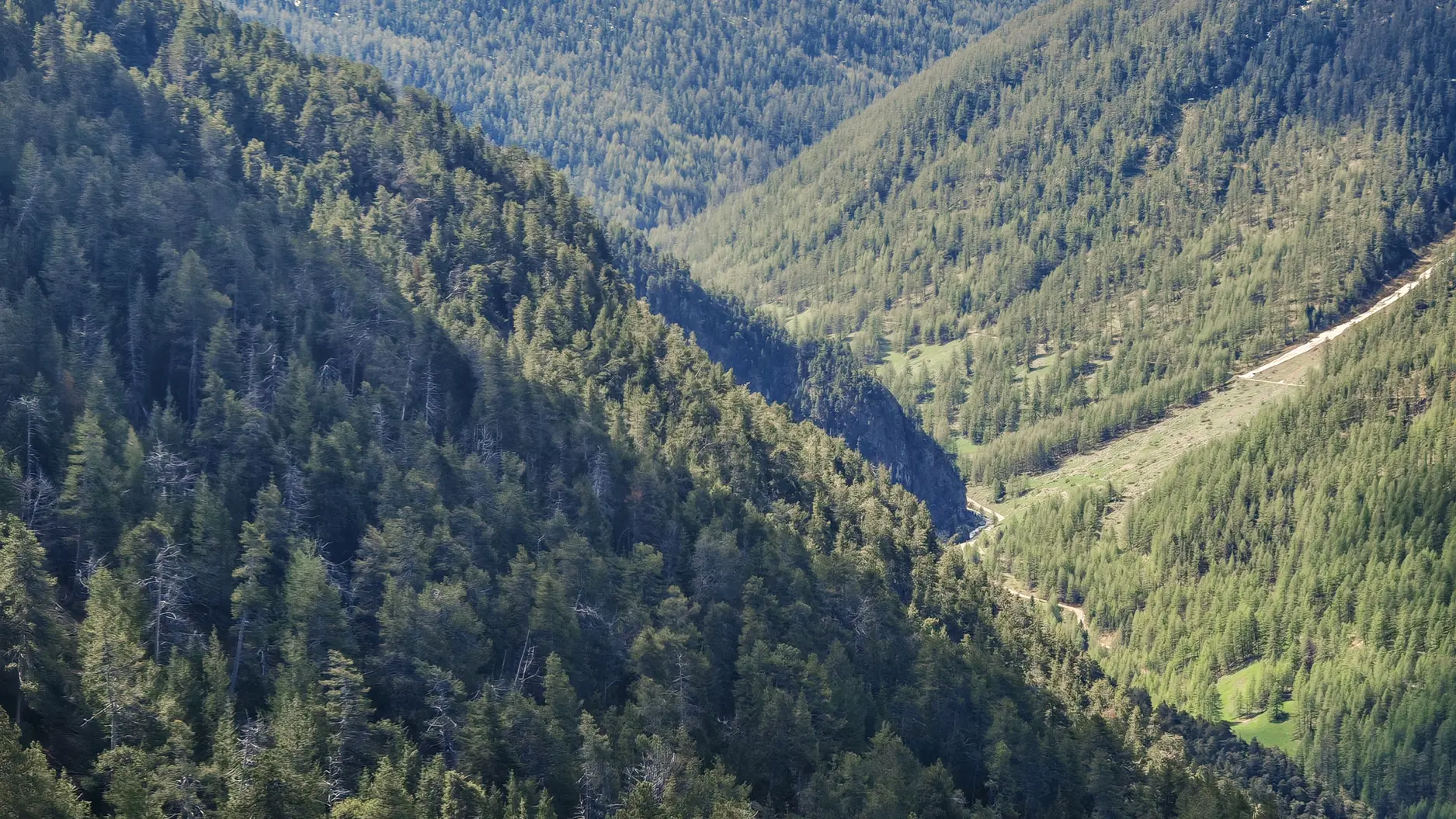
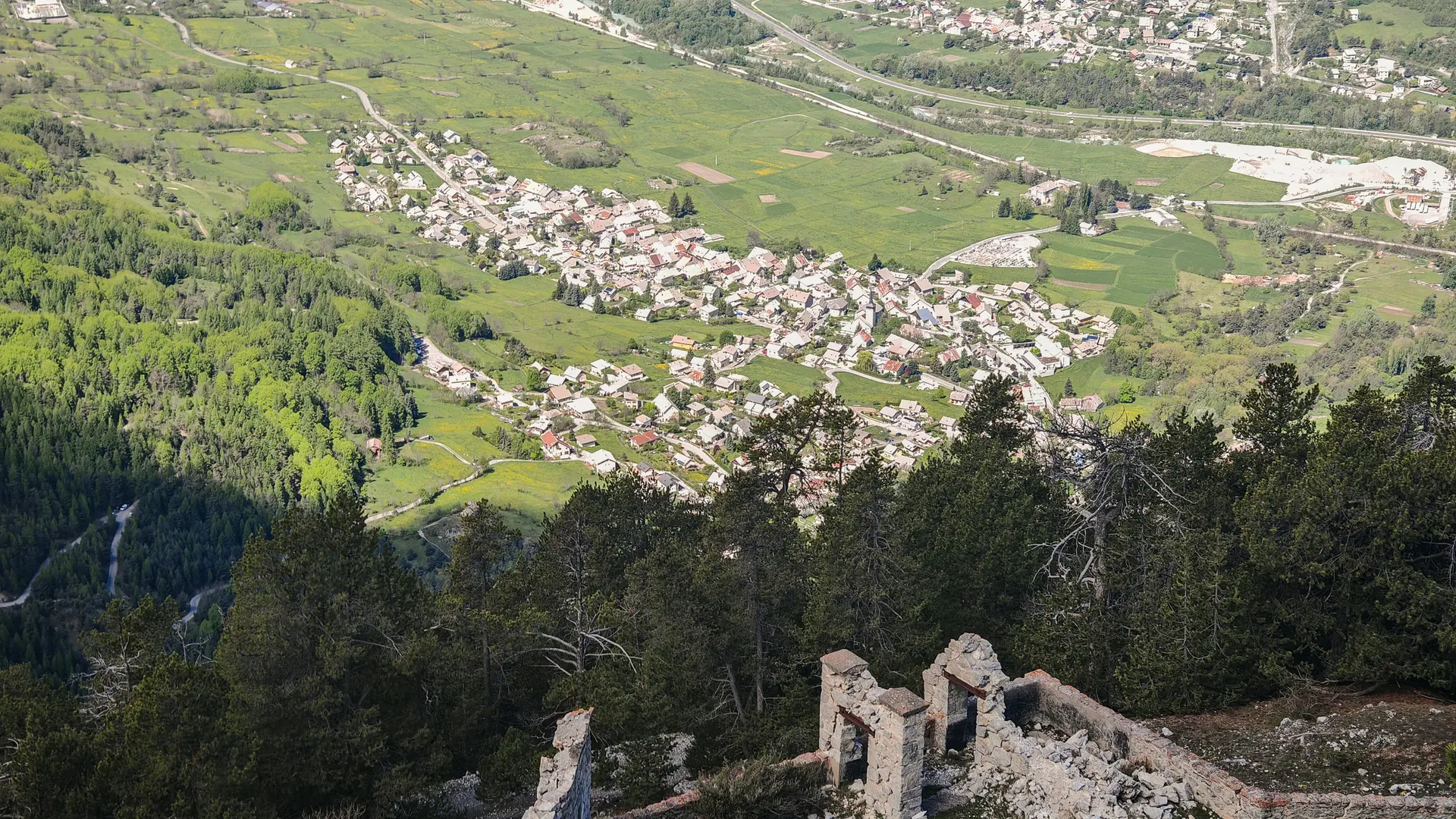
The looped itinerary starts with the steep path on the north side to reach the Fort and then descends via the longer, sunny military trail, offering magnificent panoramic views all the way back.
Park at the "Maison d'enfants de la Guisane" parking lot, rue de la Croix de Bretagne.
Leave the parking lot by taking the road which climbs and becomes a track. At the fork in the road, ignore the track on the right (this military track leading to the fort will be used on the return journey) and continue on the track opposite (Pont de Cervières arrow) to a second fork in the road.
Turn right and continue uphill for about 350 m.
Climb the right-hand path (yellow Fort de la Croix de Bretagne sign). The route rises straight and steep through the heart of the compact Bois de Godichon, then turns into a series of switchbacks to the fort.
Go around the fort to the left to join the military track.
You can go as far as the entrance to the fort. Warning: entering the fort is the sole responsibility of the hiker.
Take the track on the right.
Note: the track on the left leads to the alpine chalets of Pied-Sec and the Ancien Fort de la Grande Maye .
Continue downhill along the military track to the starting point.
Steep, steady ascent.
Warning: old building, possible rock falls.
Entering the building is entirely at your own risk.