Discover points of view and military heritage of a border region.
Park in the main parking lot at the entrance to the hamlet of Le Laus, then cross the hamlet in its entirety: you must then walk along the Col de l'Izoard road: the trailhead is 150 metres after the last house, on the right-hand side of the Col de l'Izoard road.
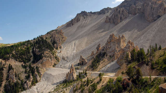
The forest-edge path (arrow: Fort de la Lausette) crosses a vast field for 250 metres (poorly marked) before bending to the left and gradually ascending into the forest. The path soon leaves the forest and begins a winding climb through scree: the Combe du Malazen. The path is slightly degraded in two places, with two slight gullies that are not very difficult to cross.
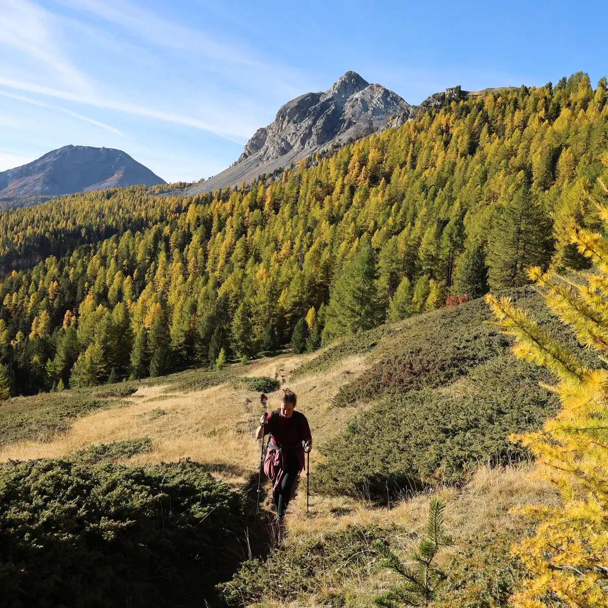
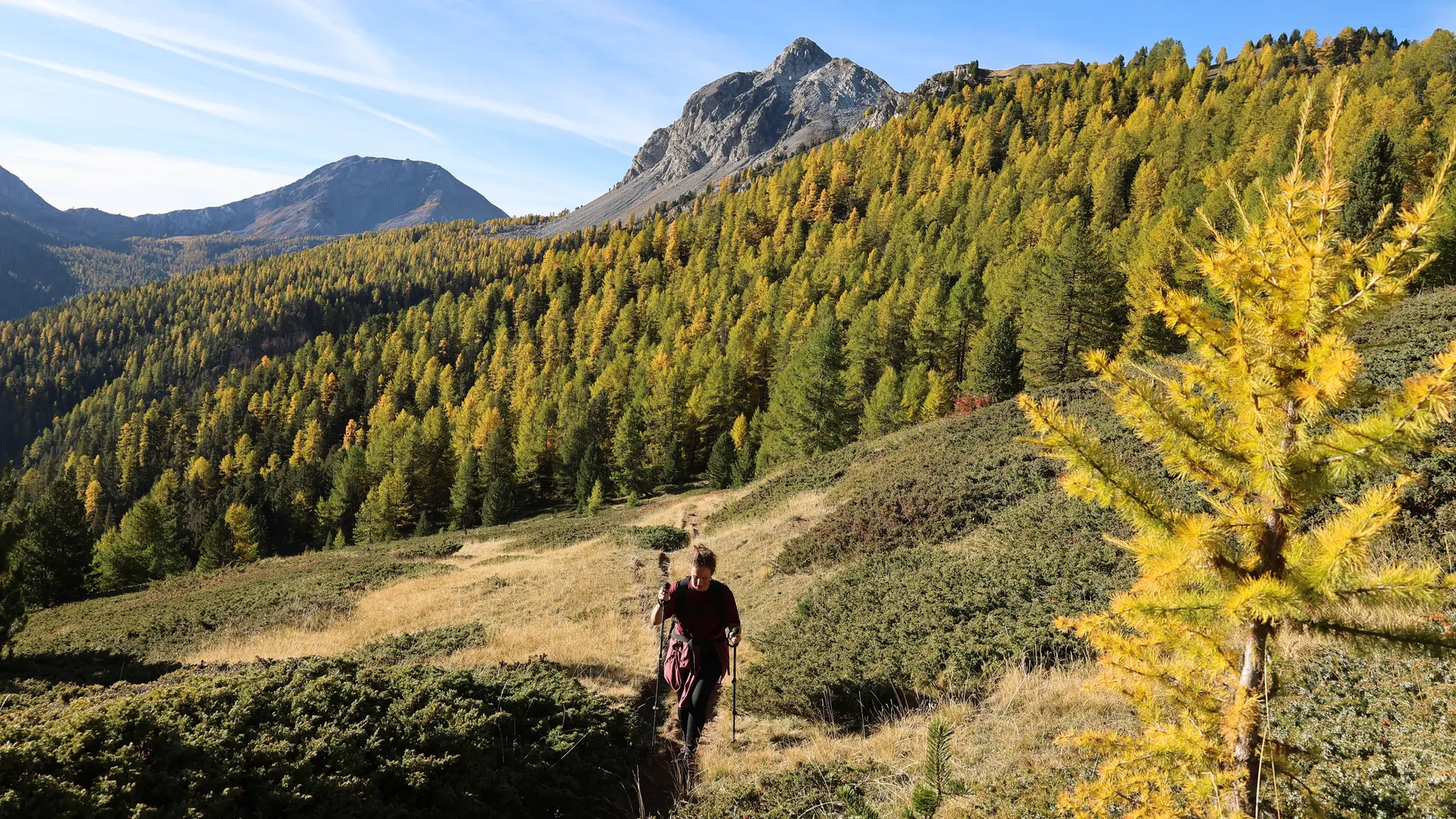
The switchbacks soon lead to a magnificent valley dotted with larch trees. Crossing this flower-filled alpine pasture leads to a first crossroads on the edge of the forest; ignore the left-hand path (Bois des Loubatières), and take the right-hand path.
The path continues until it leads to the old military road: take it to the left until you reach a fork in the road.
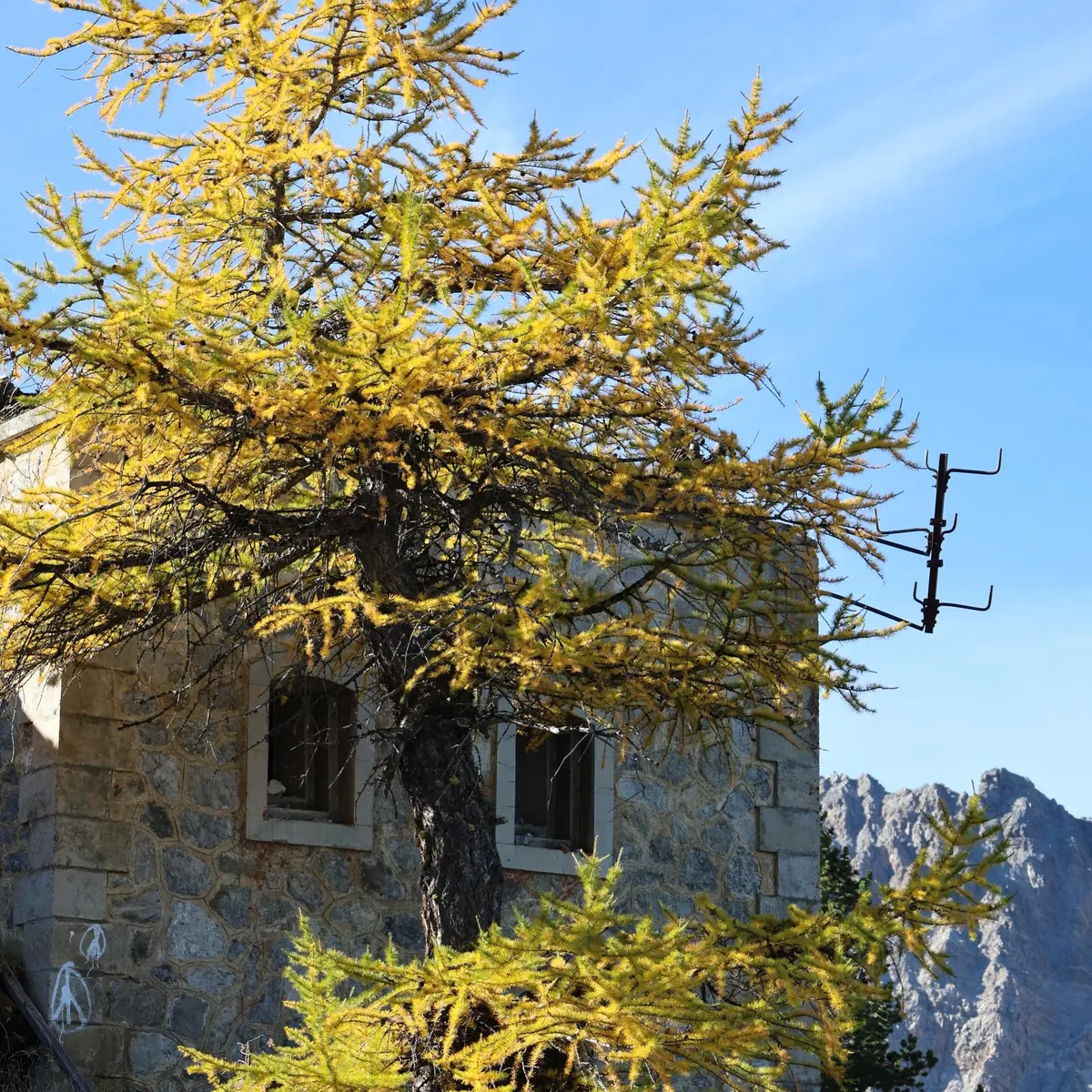
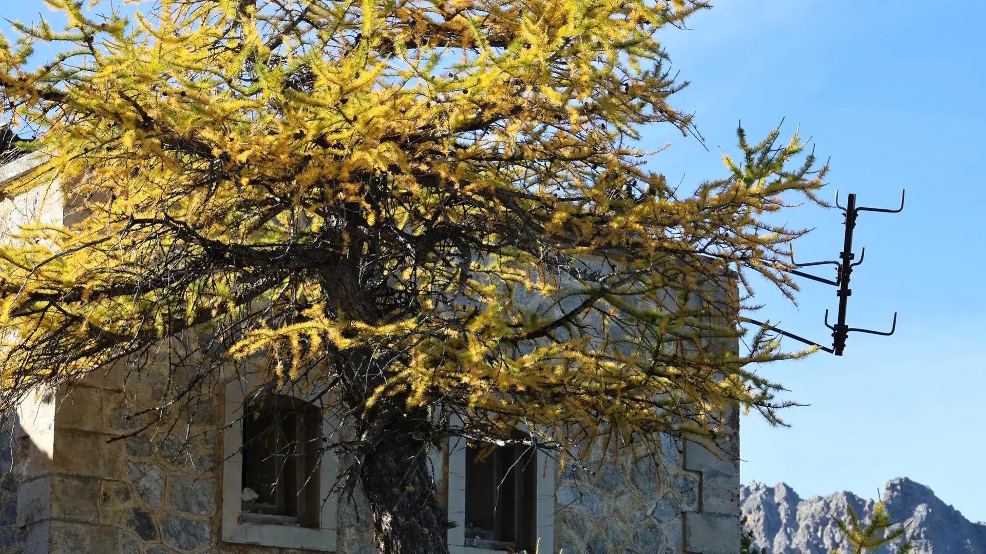
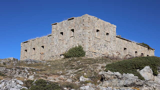
Turn right to reach the foot of the old Lausette fort.
Take the same route back down.
We strongly advise against descending via the Sources des Loubatières (loop), as the path in the coomb is heavily ravined, making access dangerous.
Warning: the building is old, and falling rocks are a possibility.
Entering the building is entirely at your own risk.
We strongly advise against descending via the Sources des Loubatières, as the path in the Malezen combe is gullied in several places, making it dangerous to cross.
You are crossing a Natura 2000 site, so please keep to the marked route to preserve the vegetation. Please preserve the tranquility of the area and keep your garbage to yourself.