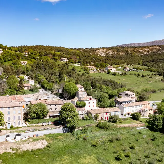
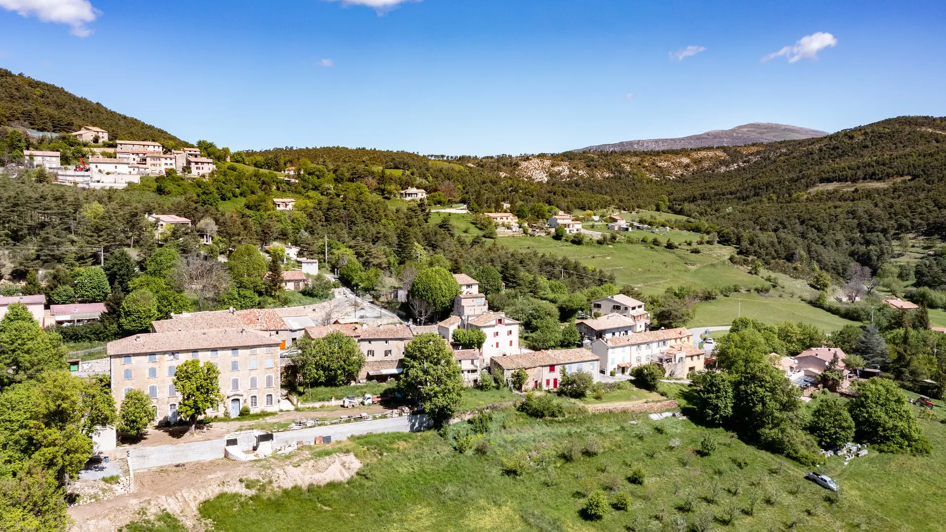
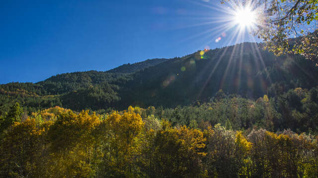
This hike between La Martre and Châteauvieux alternates between woodland and sections along the Frayieres and Font Freye streams.
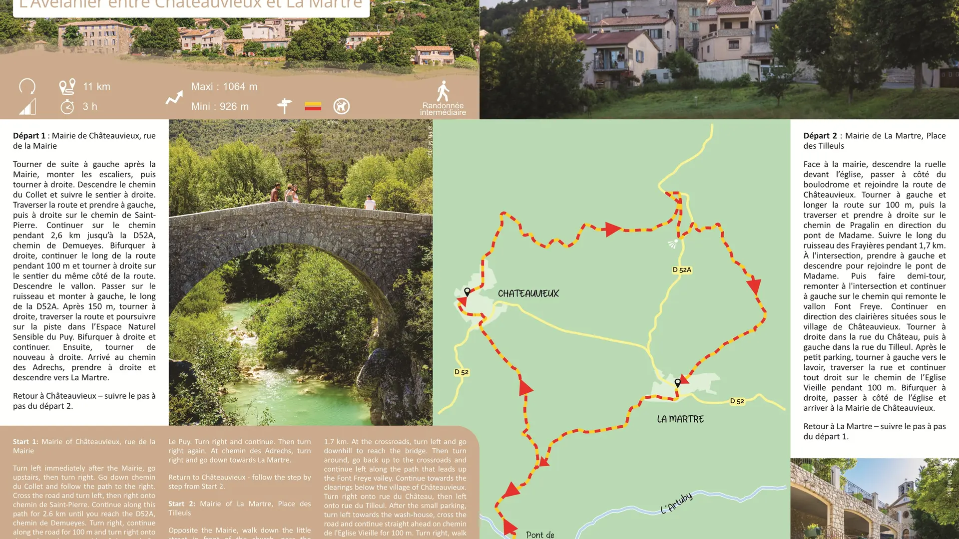
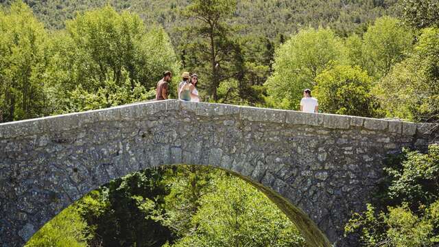
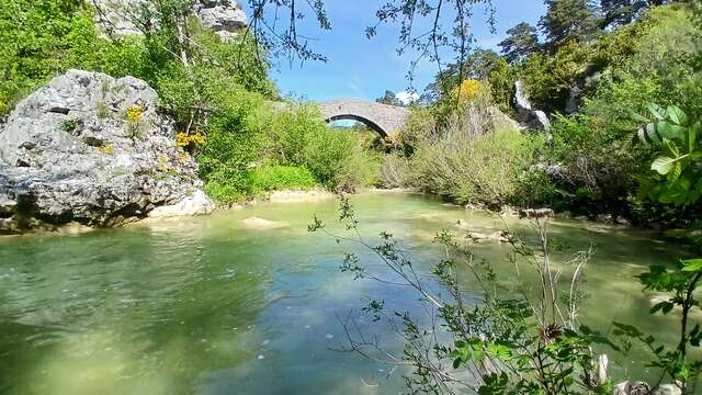
Turn left immediately after the Mairie, go upstairs, then turn right. Go down chemin du Collet and follow the path to the right. Cross the road and turn left, then right onto chemin de Saint-Pierre. Continue along this path for 2.6 km until you reach the D52A, chemin de Demueyes. Turn right, continue along the road for 100 m and turn right onto the path on the same side of the road. Go down the valley. Cross over the stream and continue up to the left along the D52A road. After 150 m, turn right, cross the road and continue along the track in the Espace Naturel Sensible (Sensitive Natural Area) of Le Puy. Turn right and continue. Then turn right again. At chemin des Adrechs, turn right and go down towards La Martre. Opposite the Mairie, walk down the little street in front of the church, pass the pétanque ground and join route de Châteauvieux. Turn left and follow the road for 100 m, then cross it and turn right onto chemin de Pragalin towards ‘’Pont de Madame’’. Follow the Frayières stream for 1.7 km. At the crossroads, turn left and go downhill to reach the bridge. Then turn around, go back up to the crossroads and continue left along the path that leads up the Font Freye valley. Continue towards the clearings below the village of Châteauvieux. Turn right onto rue du Château, then left onto rue du Tilleul. After the small parking, turn left towards the wash-house, cross the road and continue straight ahead on chemin de l'Eglise Vieille for 100 m. Turn right, walk past the church and arrive at the Mairie.
To see the hike on the map, click here: https://shorturl.at/ICYfJ
Read more
Plain text period
All year round daily.
Before hiking, check whether access to forest areas is authorised: https://www.risque-prevention-incendie.fr/var/.