Tips
In summer, parking is prohibited during the day along the Gorges de la Méouge, whilst the summer-bus is running.
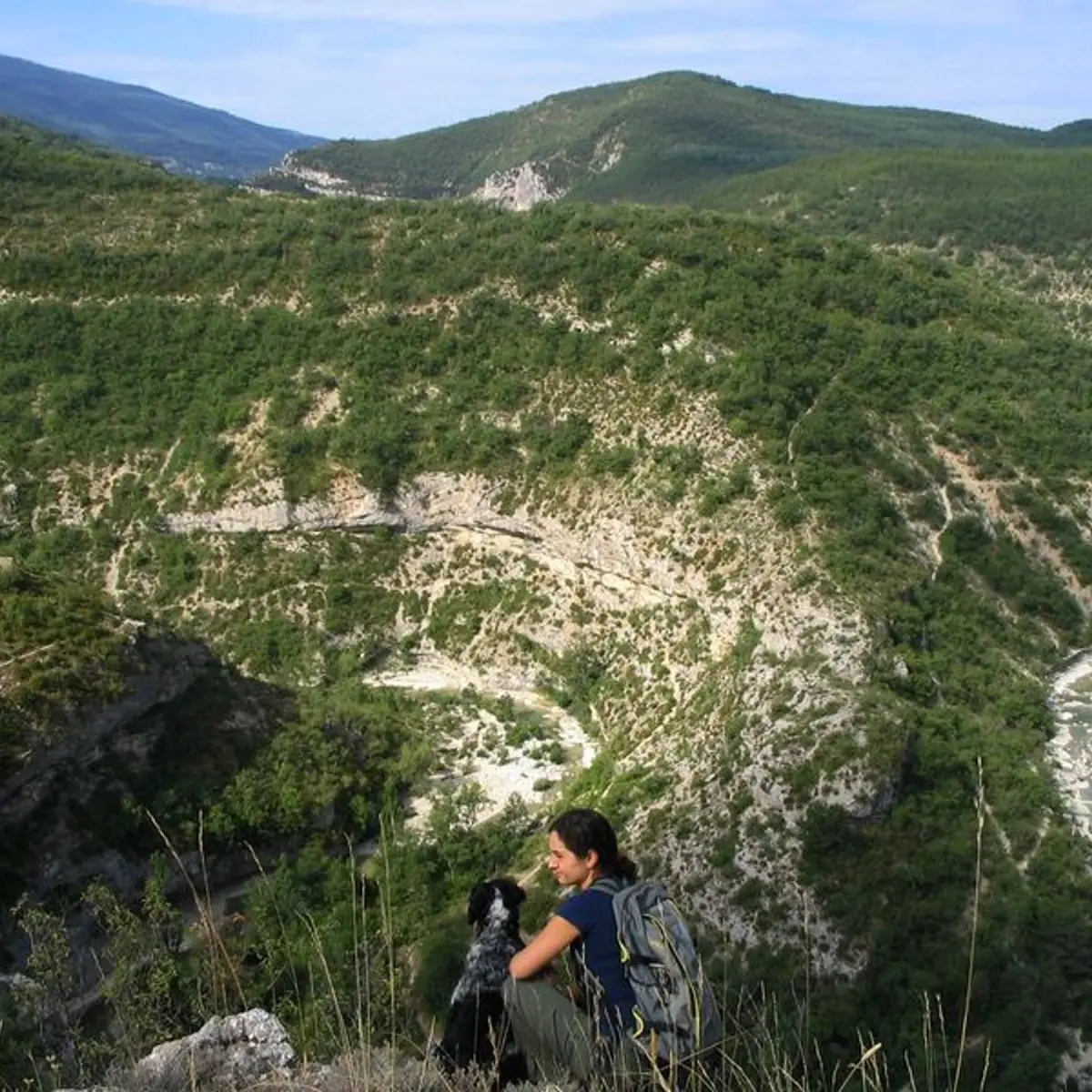
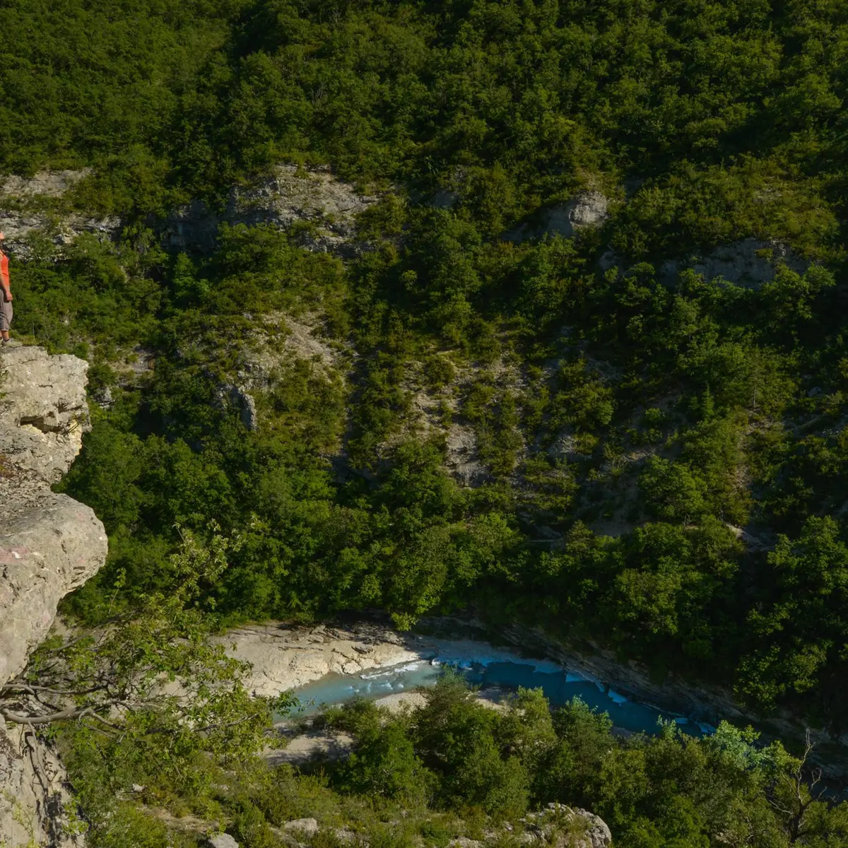
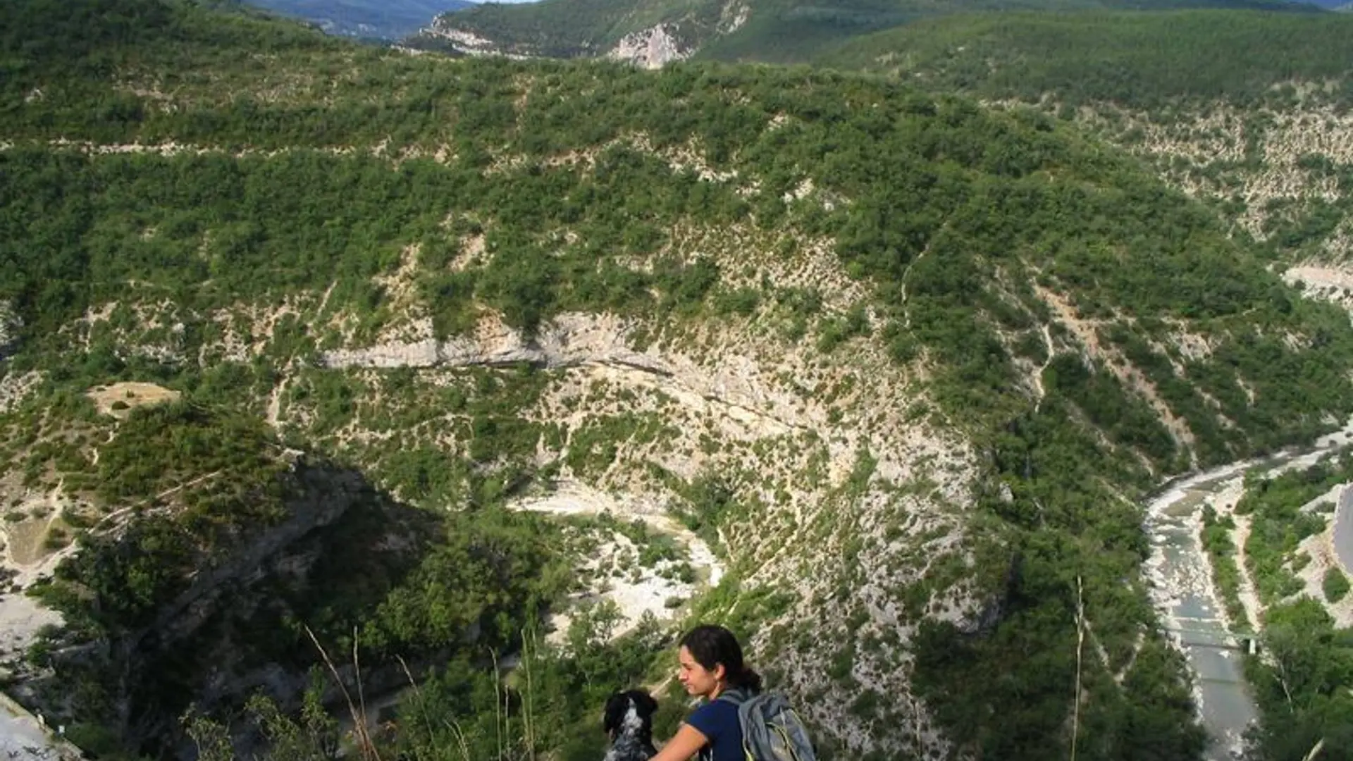
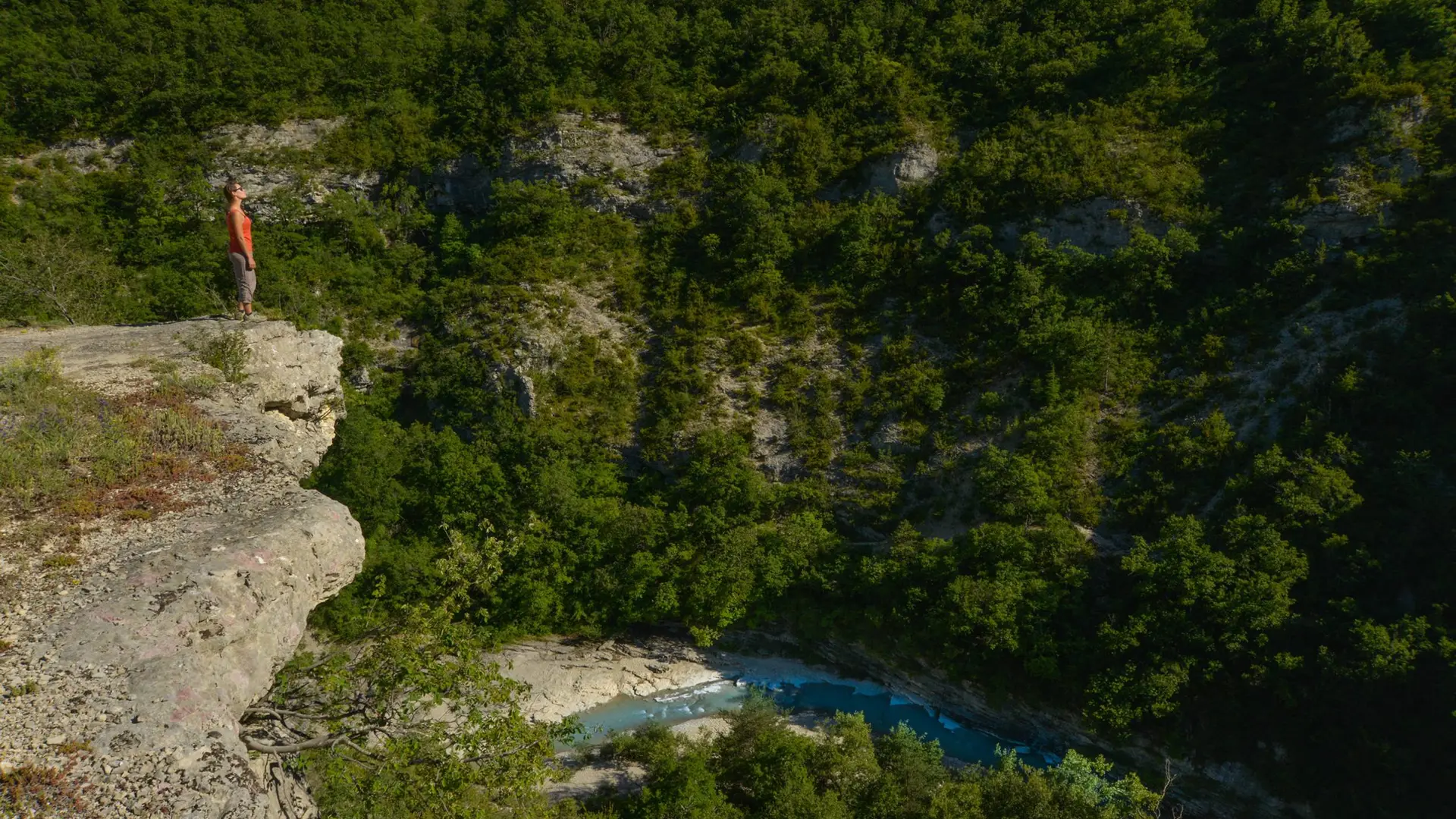
This trail is not recommended to people scared of heights, and very young children.
This trail is not recommended in the winter and after big storms.
You can also do the trail in the other way (from Le Rif to the Pont Roman)
You are there on a Natura 2000 site. Natura 2000 hikes are organized in summer by the Smigiba to discover the different environments and the remarkable species that live on site: http://www.smigiba.fr
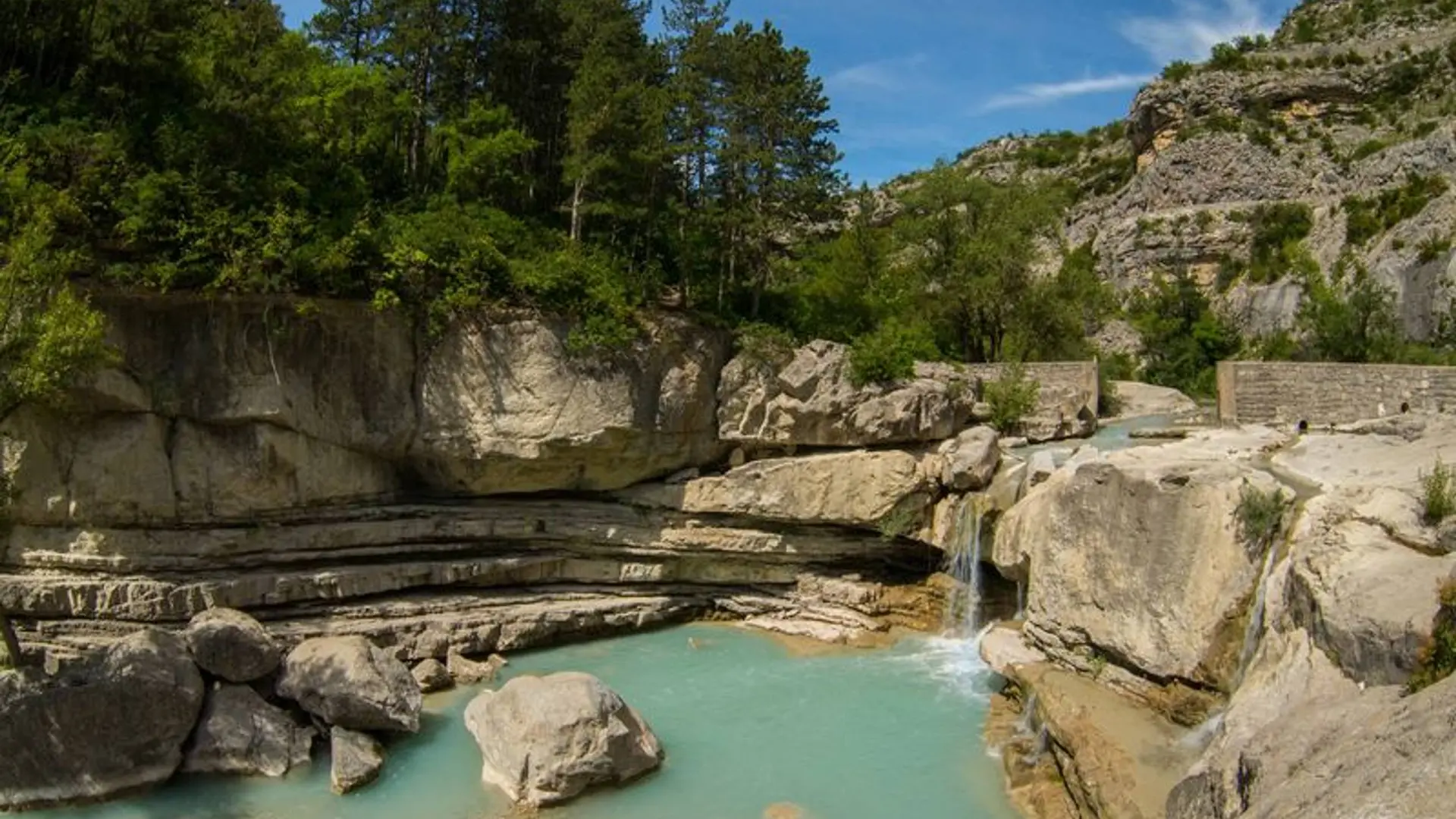
Along the Méouge, several mills were used to grind cereals, walnuts and almonds; they were also used to "break" the hemp mesh to soften the fabric of clothing. Downstream from the mills, in a "paroir" these clothes were scraped, cleaned before they could be used.