See photos (5)

Le Bois du Truc circuit (no. 12)

Sport, Cycling sports, Mountain biking itinerary in La Roche-de-Rame
Unresolved hours
30.3 km
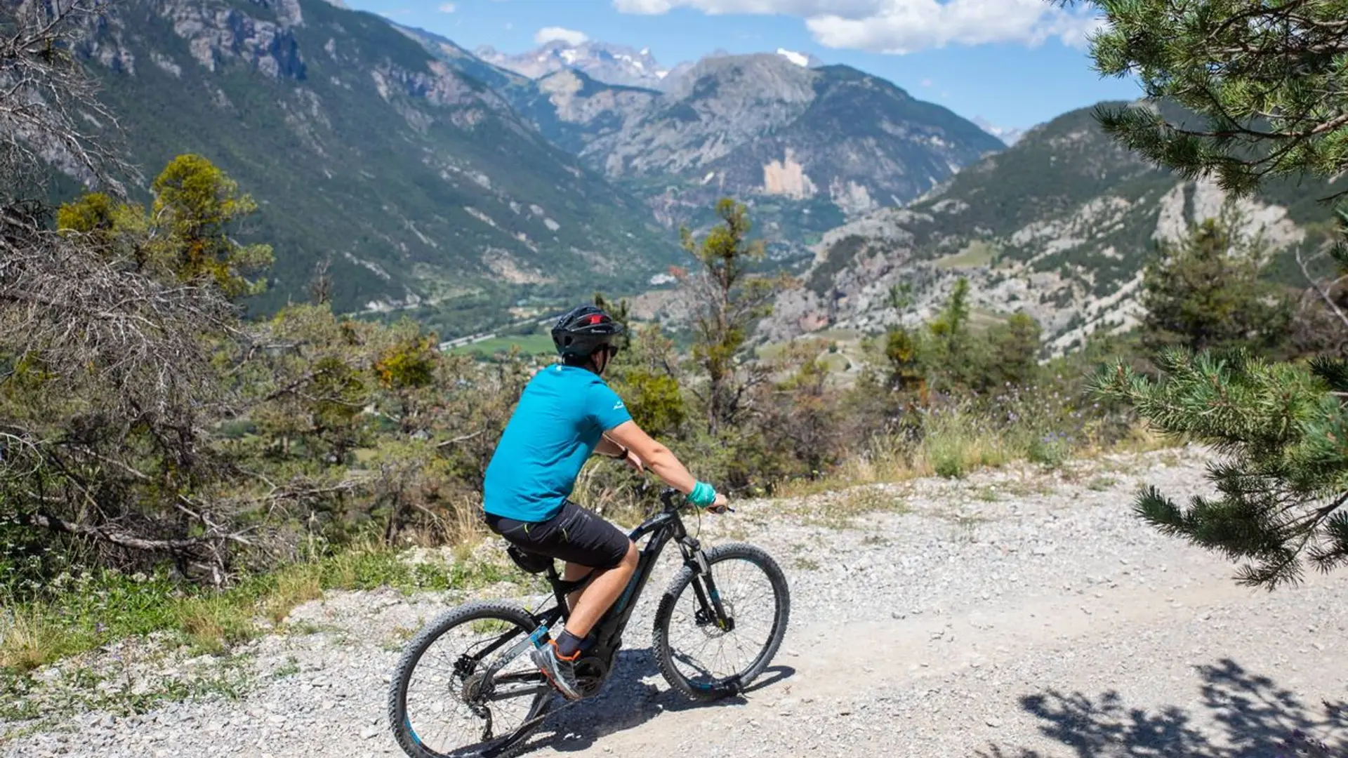
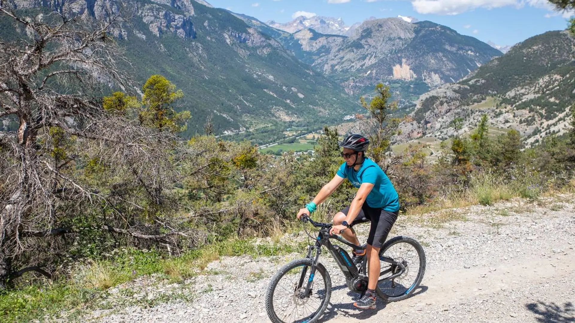
  • A pleasant route along a stony uphill track and a relatively technical downhill path.
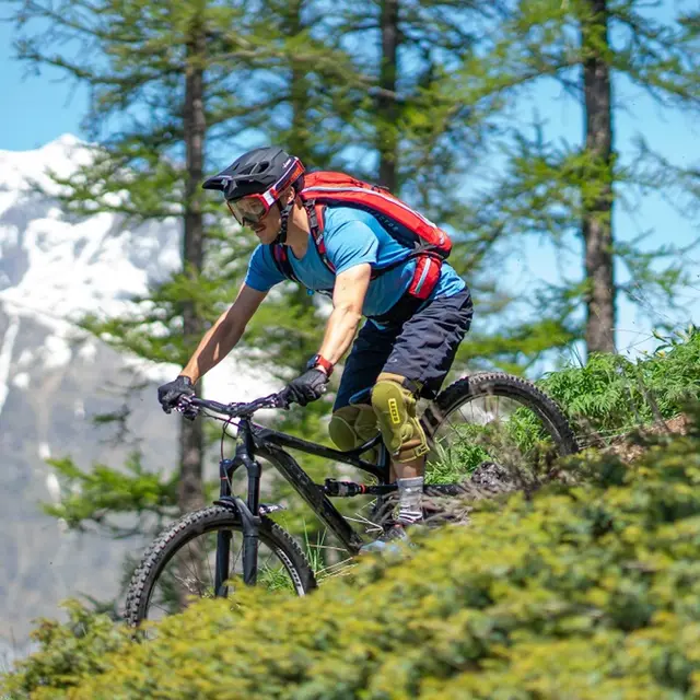
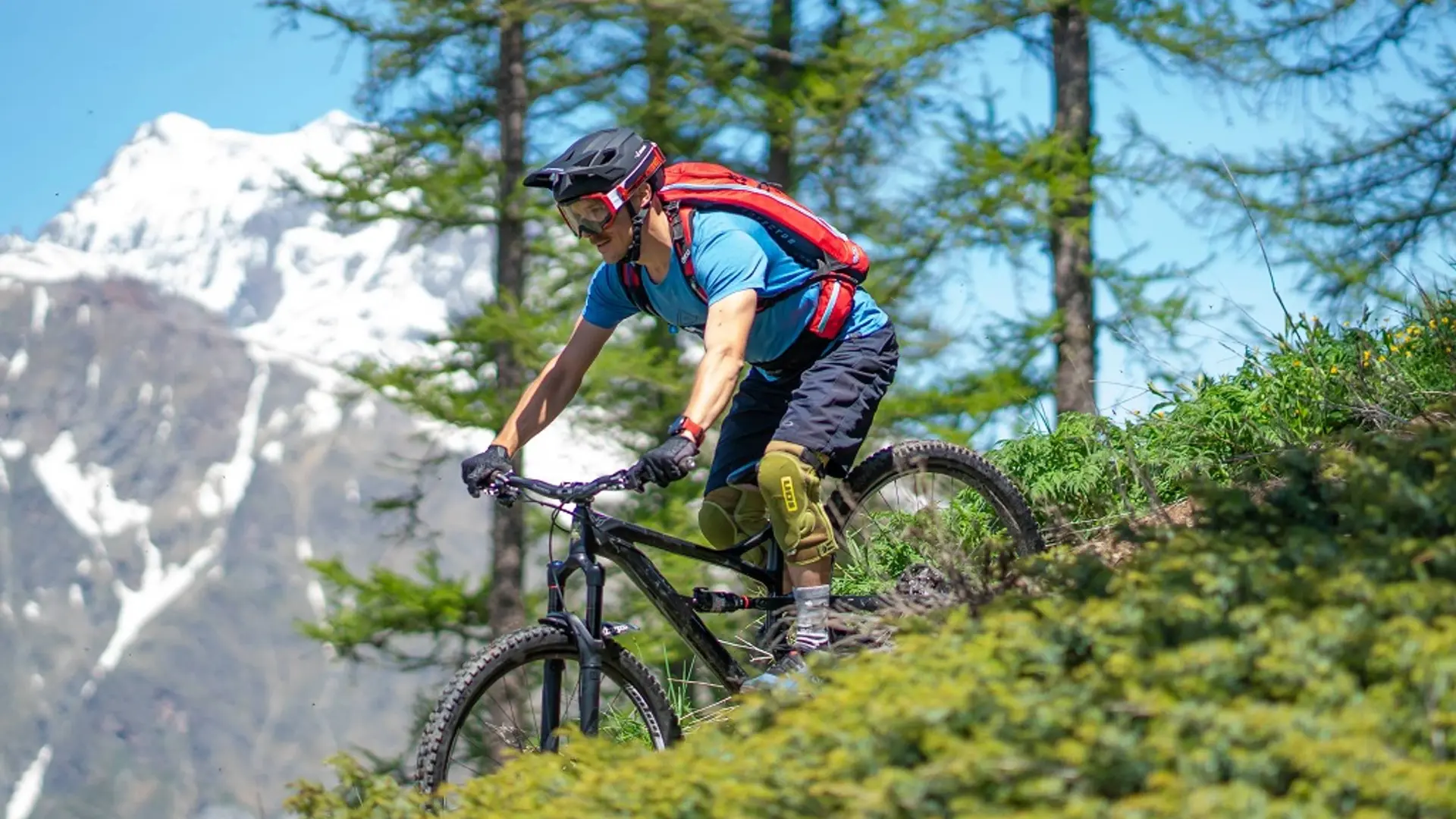
  • The circuit starts not far from the La Roche-de-Rame mayor's office ("Mairie") near the Bouchouse mountain stream. First, follow its left-hand bank, going upstream. 430 metres further up, cross the mountain stream and carry on along the right-hand bank. At the crossroads, turn right to cross the mountain stream again and carry on uphill towards Bel Pinet.

    Turn left towards Le Lauzet, winding uphill along a stony track
    When you reach Bel Pinet, at 1,400 m altitude, take the track on the left...
    The circuit starts not far from the La Roche-de-Rame mayor's office ("Mairie") near the Bouchouse mountain stream. First, follow its left-hand bank, going upstream. 430 metres further up, cross the mountain stream and carry on along the right-hand bank. At the crossroads, turn right to cross the mountain stream again and carry on uphill towards Bel Pinet.

    Turn left towards Le Lauzet, winding uphill along a stony track
    When you reach Bel Pinet, at 1,400 m altitude, take the track on the left to the Calvary and the Bois du Truc
    150 metres past the Calvary, at 1,561 m altitude, turn left to the Bois du Truc up a final short ascent 
    180 metres further on, at a set of gate posts, turn left onto the path below the track, to tackle the single-track descent (Caution! Quite steep downhill section to reach the path, and technical stretches on the path)
    At the Bois du Truc, at 1,510 m altitude, carry on down the single-track section towards Le Bathéou and La Roche-de-Rame (exercise caution on the numerous technical stretches)
    At Le Mas des Ducs, at 1,290 m altitude, carry on straight ahead towards Bathéou and La Roche-de-Rame
    Continue straight ahead along the track above Le Bathéou, heading towards Les Gillis and the dwellings
    At Les Gillis, turn left onto the D338. Then, 60 metres further on, turn left again to the village centre
    Turn right and follow the Bouchouse downstream on the right-hand bank. Then, after 170 metres cross the mountain stream, which brings you back to the mayor's office and your starting point

    Hard
  • Departure
    La Roche-de-Rame
  • Difference in height
    2027.67 m
  • Departure : La Roche-de-Rame mayor's office ("Mairie").
    Arrival : La Roche-de-Rame mayor's office ("Mairie").
    6.7 km from L'Argentière-La Bessée, take the N94.
    Parking recommended : mayor's office ("Mairie") car park, La Roche-de-Rame .
    Public transport >> www.pacamobilite.fr
    Consider car-sharing >> www.blablacar.fr
    For more information, ask at the Tourist Information Office nearest to the trail starting point >> www.paysdesecrins.com
  • Documentation
    GPX / KML files allow you to export the trail of your hike to your GPS (or other navigation tool)
2028 meters of difference in height
Created with Highcharts 6.2.0Distance (km)Altitude (m)0 km2.5 km5 km7.5 km10 km12.5 km15 km17.5 km20 km22.5 km25 km27.5 km30 km800 m1000 m1200 m1400 m1600 m1800 m2000 mHighcharts.com
  • Maximum altitude : 1918 m
  • Minimum altitude : 958 m
  • Total positive elevation : 2028 m
  • Total negative elevation : -1879 m
  • Max positive elevation : 470 m
  • Min positive elevation : -585 m
Close