From the pharmacy at Place Moreau, take the D610 towards "Villevieille", "Montblanc" and "Bay".
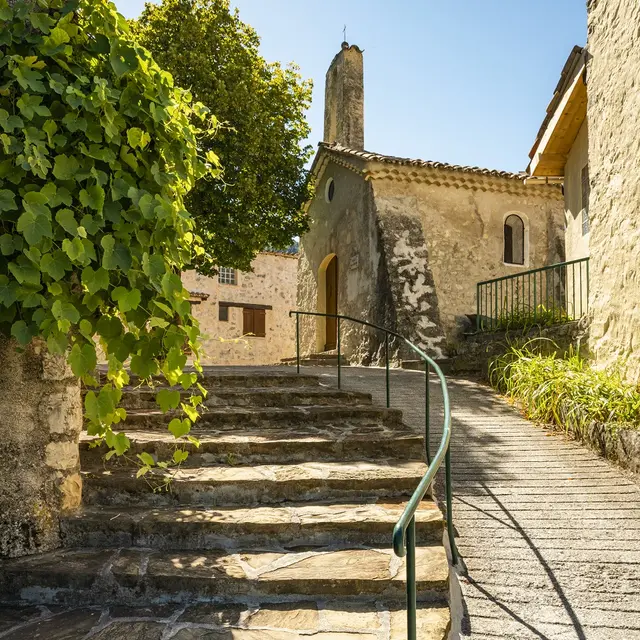
After several metres, the path leaves the road and winds its way between several houses in the Les Bayons district.
The path then rises towards the hamlet of Bay until it reaches the junction with the route de Bay.
A few metres after this junction, the path begins to descend. After a passage through the forest, cross the Ribière on an attractive wooden bridge and discover the hamlet of Champ in Val de Chalvagne.
Return by the same route.
Read more