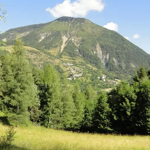
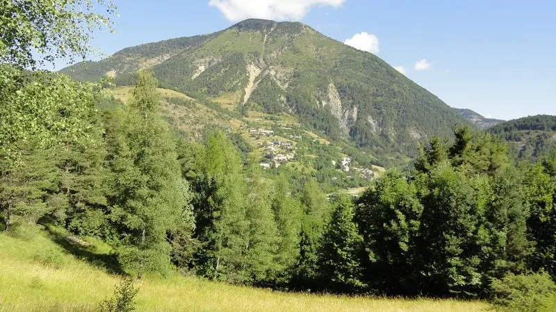
Through this route in a forest atmosphere (resinous trees), you embark for a journey to explore the Auzet countryside with the Clot de Bouc as a background.
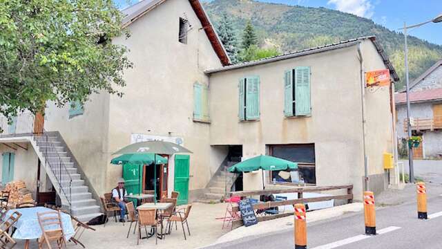
Starting from the centre of the village of Auzet, this hike will allow you to discover the hamlet of Auberts and then, after climbing up through the woods, the meadows of the Col. The return route goes through the Sansenu forest.
Starting from the square in Auzet, follow the departmental road downhill and turn left as soon as you can, near the playground. Go over the torrent and turn right. When arriving at the Auberts hamlet, follow the uphill road on the left, pass a hump and emerge at a crossroad.
Les Auberts: Go downhill in the hamlet and go over the torrent. At the next crossroad, turn left on the dirt path and go, once again, over the Grave torrent. Follow it and reach a fork.
L’Acrin: Go up the left path in the Acrin forest and arrive on the high meadows of the Col. Continue on the main path and after gaining some altitude, come across a new crossroad.
Sansenu forest: Go on the right path. Shortly after, arrive at a three-way junction and follow the less pronounced track on the right. This forest path goes down the Sansenu forest to the Grave torrent. Upon sighting it, take the path on the right along the slope of the track, ascend to the edge of the stream, and emerge onto a path. Follow it to the right, pass by the sewage treatment plant, and rejoin L’Acrin. Continue straight ahead and return to the starting point following the same route as before.