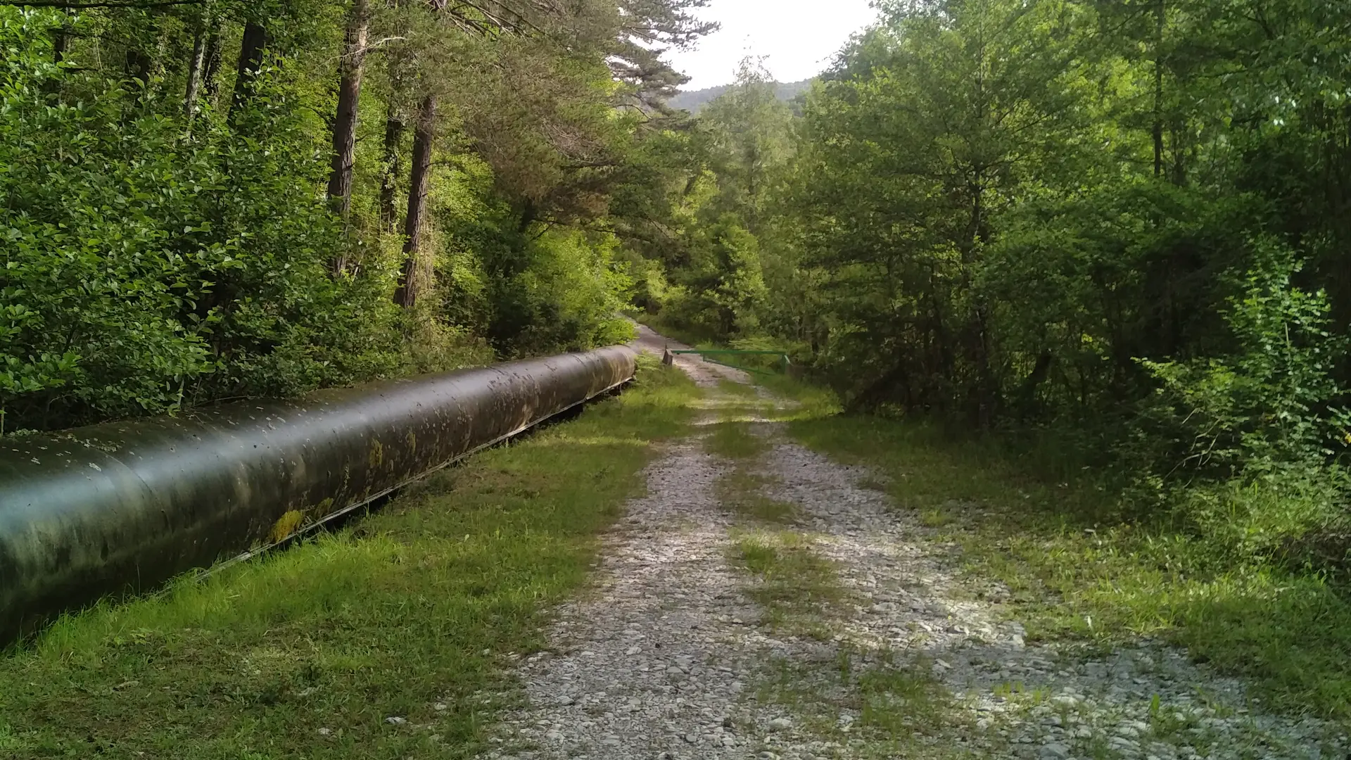
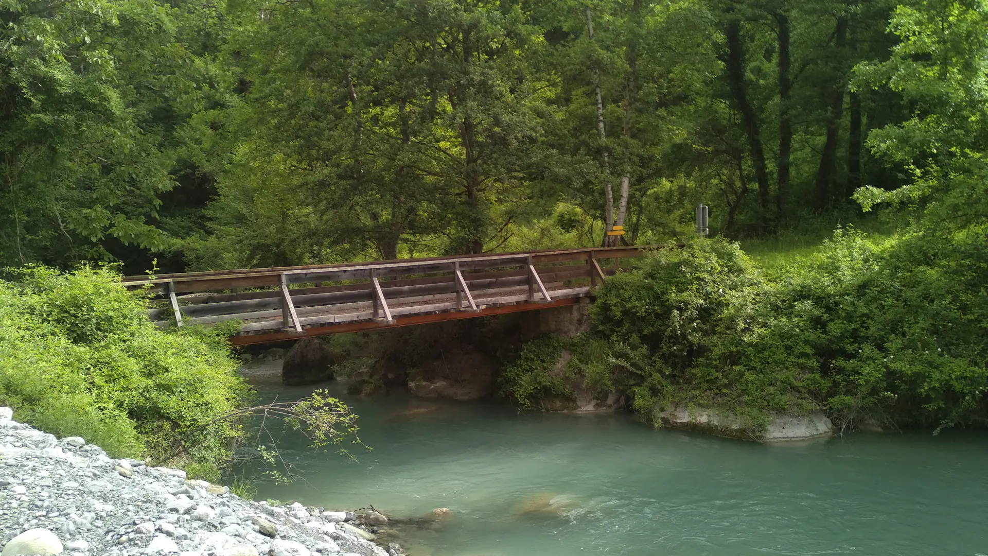
From the square, take Rue de la Parra for a few metres, then the footpath on the left. At the "Route du Clot" signpost, turn right onto the road that runs through the fields and serves a few houses. Before the end of the road, fork right between two houses. Follow this winding path through a beautiful chestnut forest to the Gassigné bridge over the Coulomp. Cross the bridge and turn left. The small reservoir feeds a hydroelectric plant, and swimming is strictly prohibited.
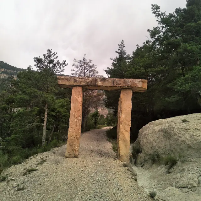
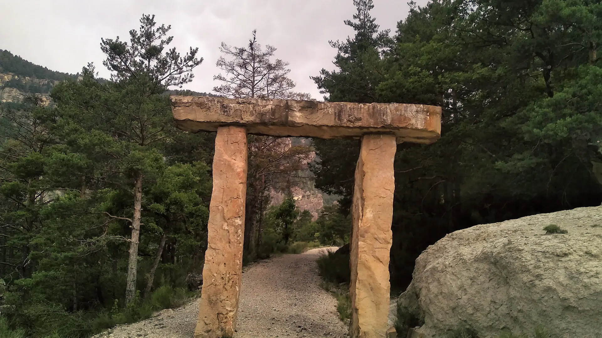
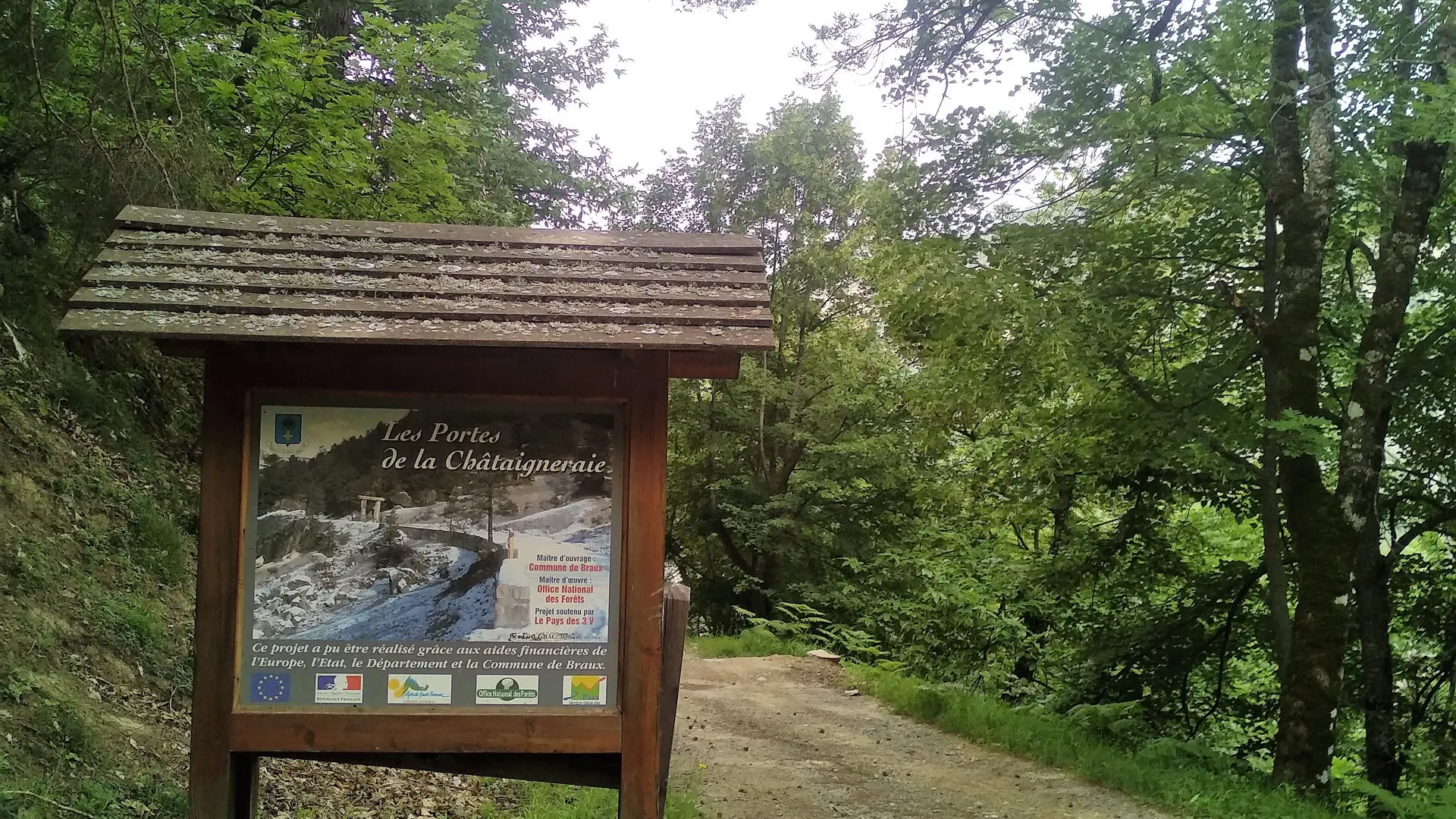
Descend the track, first on the right bank, then on the left bank of the Coulomp. At the Gay bridge, head up the Lare ravine towards a quarry, then take the RD 110. Turn left onto the wide "Porte de la Chataigneraie" path, remarkable for its sandstone entrance porch. Follow this track up to the village.
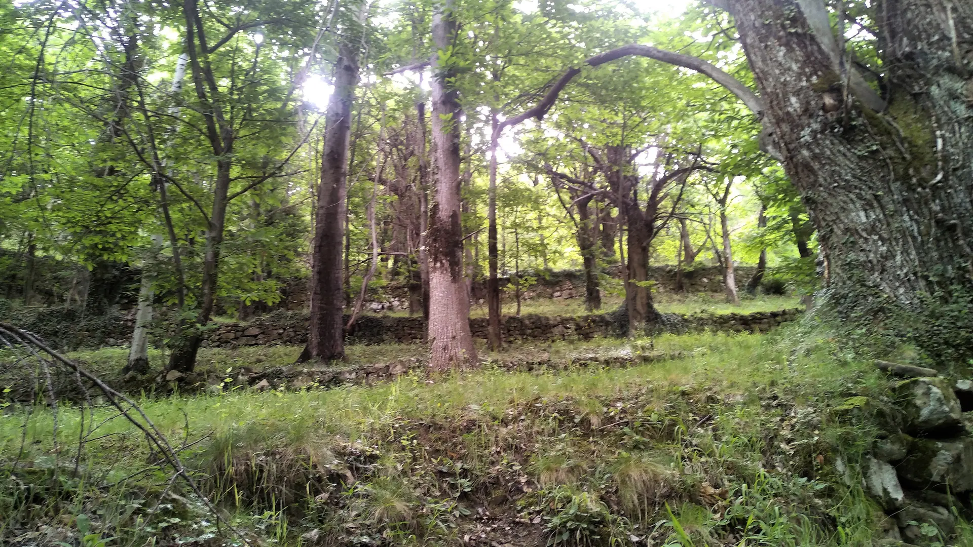
Please note: chestnut groves are private property and harvesting (chestnuts, mushrooms, etc.) is prohibited.
Read more