img-name-mising

Le Fort

Sport, Cycling sports, Mountain biking itinerary in Réallon
13.2 km
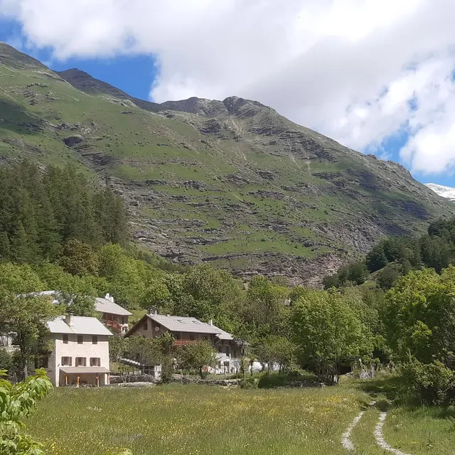
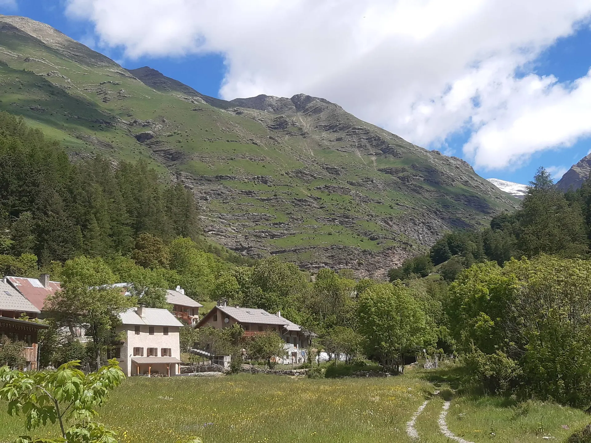
  • Treat yourself to a mountain bike outing in the beautiful Réallon valley, dominated by the ruins of the medieval castle.

  • Start at the bridge over the Réallon stream then descend the road taken on the outward stretch. Then take a small path on the left, about 200m further on. Cross the fields and turn right at the intersection with a wide track. Cross the stream of la Sauche then turn left. Follow a small path on the mountainside.
    Descend to the right shortly before the fort of Réallon. Turn right after a stony and slightly technical descent. Reach a car park at Reallon and then cross the road. Join the...
    Start at the bridge over the Réallon stream then descend the road taken on the outward stretch. Then take a small path on the left, about 200m further on. Cross the fields and turn right at the intersection with a wide track. Cross the stream of la Sauche then turn left. Follow a small path on the mountainside.
    Descend to the right shortly before the fort of Réallon. Turn right after a stony and slightly technical descent. Reach a car park at Reallon and then cross the road. Join the departmental road.
    Turn left and then immediately right onto a small road that descends and continues along a footpath. Cross the bridge and continue left on the same path after a steep climb with two crossings over the stream.
    Turn right onto a wide path. Cross the stream again, then travel alongside it. Turn right when the path seems to split in two, continuing up the stream.
    Then follow the road closest to the river towards the camp-site, then turn left just before the car park. Turn right just before crossing the river to get back to the starting point

    Medium
  • Departure
    Réallon
  • Difference in height
    397.671 m
  • Departure : Les Gourniers, Réallon.
    Arrival : Les Gourniers, Réallon.
    Road access : From Savines-le-Lac, follow the D641 then the D9 before joining the D41, which becomes the D241 at Réallon..
    Parking recommended : Les Gourniers car park .
  • Documentation
    GPX / KML files allow you to export the trail of your hike to your GPS (or other navigation tool)
398 meters of difference in height
  • Maximum altitude : 1611 m
  • Minimum altitude : 1326 m
  • Total positive elevation : 398 m
  • Total negative elevation : -474 m
  • Max positive elevation : 135 m
  • Min positive elevation : -251 m