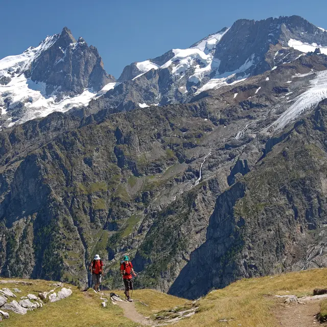
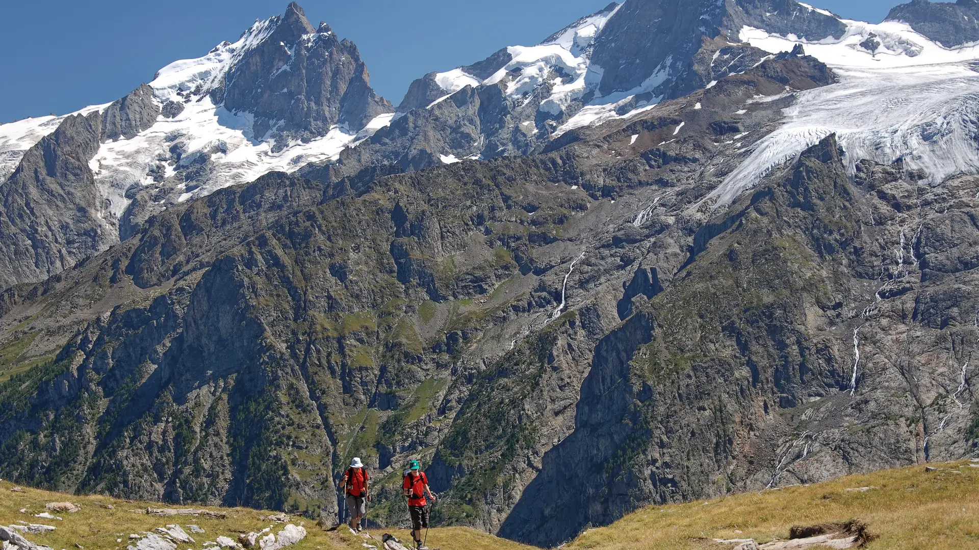
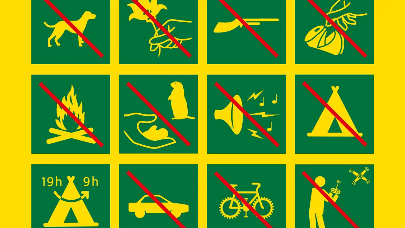
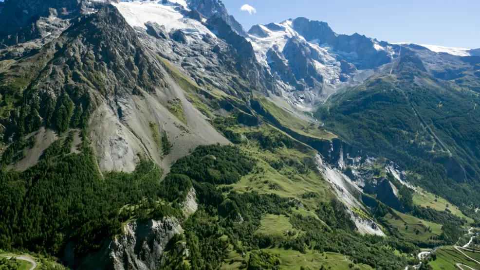
This long loop, which alternates between alpine meadows, high mountains, mountain lakes, passes, valleys and plateaus, light and shade, will satisfy even the most demanding hikers. This tour, which some trail specialists would like to complete in less than 24 hours, can be completed in around 5 days: at this pace, you'll be able to enjoy the scenery and accommodation, and discover a region that holds many surprises in store.
Day 1 > La Grave - Alpe de Villar d'arène refuge
(allow 4 to 5 hours).
A short warm-up day ending in the heart of the Ecrins massif at the foot of Montagne des Agneaux. From La Grave, take the GR 54 "tour de l'oisans" to the Alpe refuge.
Day 2 > Refuge de l'Alpe de Villar d'Arène/refuge du Goléon
(allow 7 to 8 hours)
A long, varied stage with the famous Col du Lautaret, the delightful Lac du Pontet and a finish on the shores of Lac du Goléon. From the refuge, take the previous day's path in the opposite direction, then after about 20 minutes, fork right and follow the magnificent and impressive "Sentier des Crevasses" to the Col du Lautaret. Cross the main road to reach the pass: at the foot of the road leading to the "Jardin Alpin", spot the path to the left. Follow it in its entirety, passing close to the main road in a hairpin bend and descending towards the hamlet of Pied du Col. Just before you reach it, take the right-hand track leading to Les Cours. Cross the main road again and head uphill towards Les Cours. From this hamlet, follow the Paul Louis Rousset path to Valfroide. After crossing the torrent du Maurian, take the right-hand track and follow the steep path to the refuge du Goléon.
Day 3 > AR to Aiguille du Goléon
(allow 6h from refuge to refuge)
This itinerary should be reserved for experienced, well-equipped hikers or mountaineers, and takes you to a summit (alt.3427m) offering one of the finest panoramas in the Alps!
Day 4 > Refuge du Goléon-Vallon de la Buffe via Cruq des Aiguilles
and Signal de la Grave .
(allow 6 to 7 hours depending on accommodation: Yourte des Bergers at the bottom of the Buffe or gîte at Le Chazelet).
This varied, wild route takes you over ridges and alpine pastures to the village of Le Chazelet and the Buffe valley. Go back up behind the refuge, taking the path in the opposite direction as far as Cruq des aiguilles (faint path). Descend the other side and, at altitude 2400m, continue to cross horizontally; cross one of the small streams and at this point abandon path 13 to climb gradually up the slope to Signal de la Grave (alt.2446m). Descend following the entire South-West ridge (path 12) until you reach the small pass at the top of the Plagnes ski lift. Descend to the right alongside the ski lift, then take the track that winds down into the Vallon de Martignare. After crossing the
cross the torrent de Martignare and climb slightly up the other side. Follow the path on the mountainside to the right, which leads to the hamlets of Les Rivets. Turn right on the good track that follows the valley until you reach the Yourte des Bergers at the Grande Buffe or the refuge du Pic du Mas de la Grave (completion scheduled for summer 2017). Depending on your choice of accommodation, you can ski down to Le Chazelet from the top of the Plagnes ski lift.
Day 5 > Pic du Mas de la Grave /Chalet du Fay
(allow 7 to 9 hours depending on accommodation: Chazelet or Yourte des bergers)
We discover the Emparis plateau after climbing to the emblematic summit of Pic du Mas de la Grave. From Le Chazelet or de la Buffe, follow itinerary N°10 to the summit of Pic du Mas de la Grave. On the way down, take the path up to a huge cairn and turn right towards the valley leading down to the Col des Trente Combes. Follow this valley to reach La Cabanotte on route no. 15 of the Tour du Plateau d'Emparis. Follow this route to the torrent de Rif Tor and from here take the GR54 south to the Chalet du Fay.
Day 6 > Chalet du Fay, refuge Chancel via the plateau and lakes
(allow 8 to 9 hours)
This day will take you across the Emparis plateau and its lakes (Cristallins, Noir and Lérié) to the hamlet of Les Fréaux, 1000 m lower down, at the bottom of the Combe de Malaval. From here, a long 1100m ascent through larch trees leads to the Chancel refuge perched on the north-facing slope at 2450m. From Chalet du Fay, follow the path taken the day before in the opposite direction to the Rif Tor torrent. Leave the GR 54 and turn right onto the path leading to the lakes. Pass Lac Noir and then Lac Lérié; from there, take trail N°11 in the opposite direction to Chazelet. Follow the Paul Louis Rousset path to Les Fréaux, cross the Romanche and climb up through the larches using route 7. Once you reach the Pierre Farabo, follow the route to the right as far as the Chancel refuge.
Day 7 > Refuge Chancel- la Grave via the Brèche or Col de Pacave.
(allow 5 hours)
This final stage completes the big loop, taking in the impressive north face of the Meije and Râteau and their hanging glaciers. Alpine and mineral atmosphere guaranteed! From Chancel, follow itinerary N°17 all the way to La Grave, where you'll reach the starting point of the Grand Tour du Pays de la Meije.
This loop is described starting from La Grave, but you can also tackle it wherever you like, depending on where you live.
The use of professional guides will enable you to make the most of this great loop, and perhaps add some alpine variants such as the Aiguille du Goléon or the Pic du Mas de La Grave.
Read more