- Voir les favoris
Le Lan "Élite" Trail route
Sport, Pedestrian sports, Trail route
in Barcelonnette
40.7
km
-
A marathon in the middle of the mountains.
More than 40% of the route is at altitudes of between 2000 and 2682 m. More than 70% is along a single track. Demanding, technical and challenging route. -
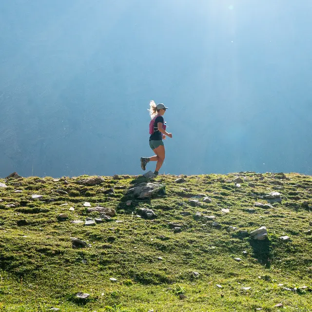
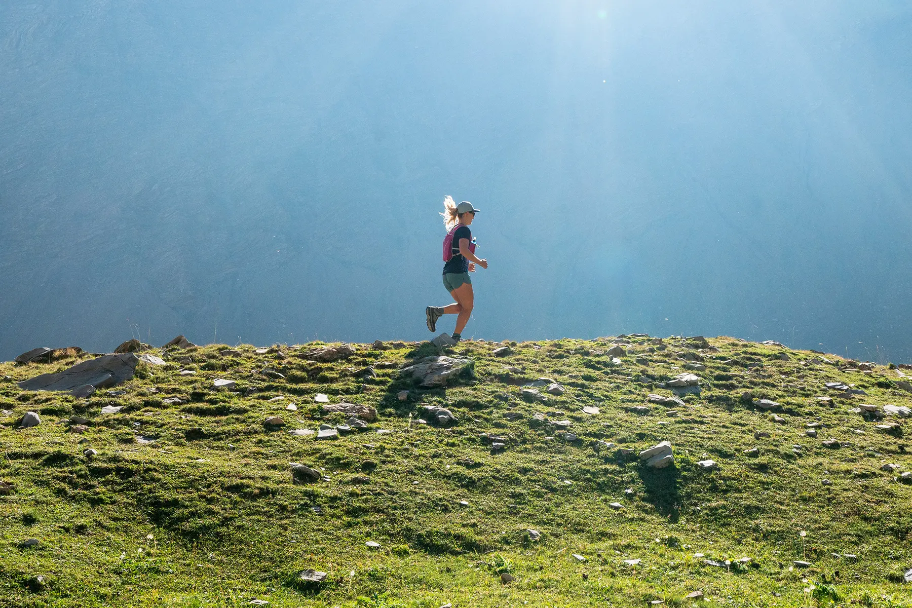
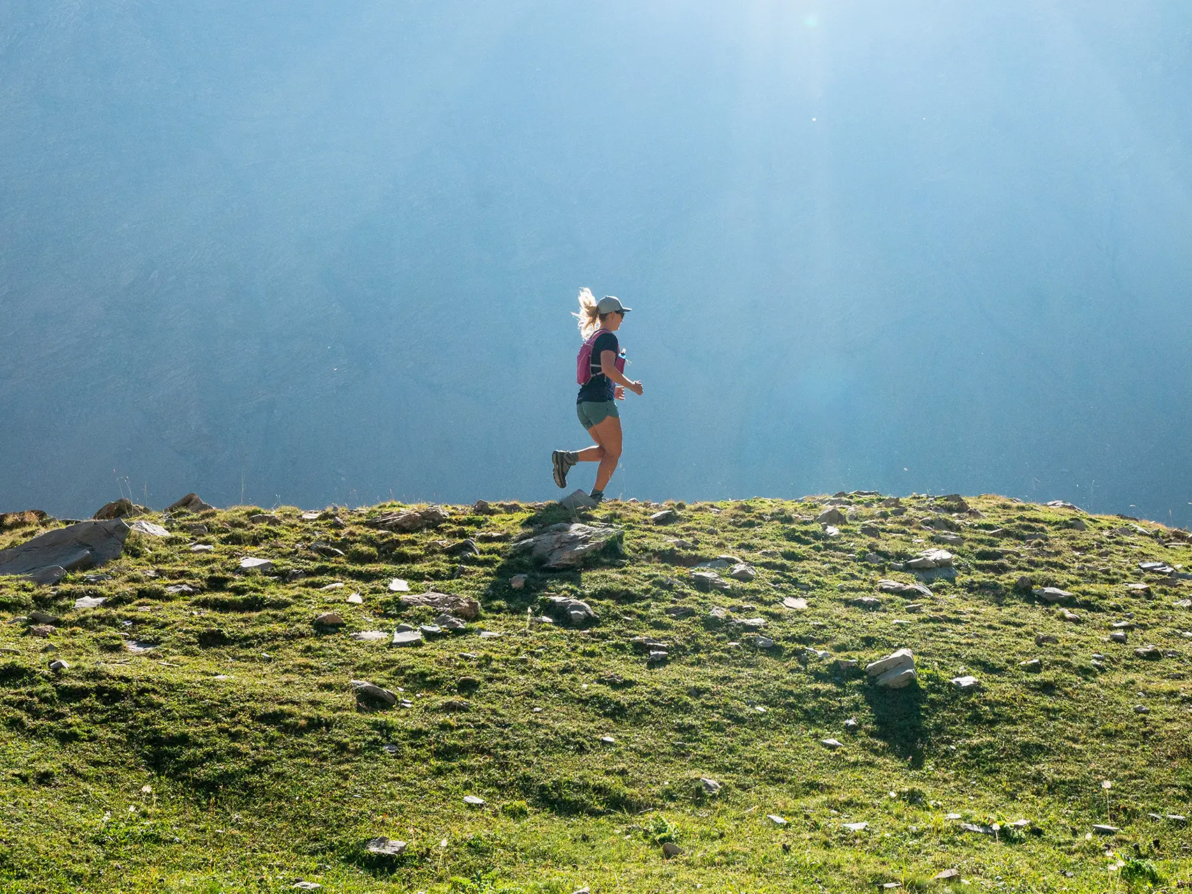
A variety of surfaces, fast sections, steep climbs and technical descents, forest, mountain pastures, rocky passages where you'll have to ‘cramp’ with your hands and feet, amidst ridges, peaks and magnificent scenery.
You'll have to cross four mountain passes and climb to a summit at an altitude of 2,682 metres over 9 km and 1,200 m of positive ascent, including the last 2 km at over 33%.
- Departure
- Barcelonnette
-
-
Difference in height
- 2367.26 m
-
-
-
Plain text rates
- Free of charge.
-
-
-
Plain text period
-
From 15/06 to 15/10 daily.
Subject to favorable weather.
-
-
-
Documentation
- GPX / KML files allow you to export the trail of your hike to your GPS (or other navigation tool)
-
-
-
Accepted customers
-
- See all reviews
- 2367 meters of difference in height
-
- Maximum altitude : 2652 m
- Minimum altitude : 1121 m
- Total positive elevation : 2367 m
- Total negative elevation : -2366 m
- Max positive elevation : 602 m
- Min positive elevation : -619 m
