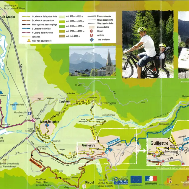
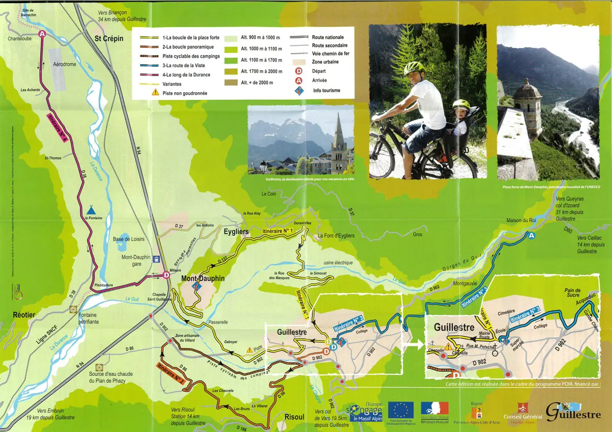
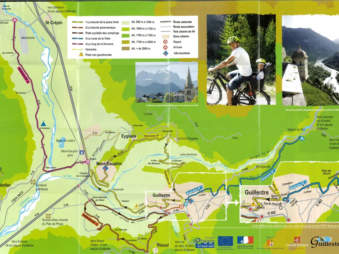
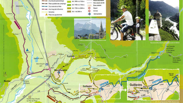
A relatively flat and easy back/forth ride (only 2 inclines of less than 100m height difference), following the Durance riverbank. This is a fantastic opportunity to discover the petrifying waters of the Reotier fountain or, for the more audacious, to explore the geological site of Barrachin, the final stop of this route. Distance : 6km out/ 6 km back.
From the N94 towards Briançon, turn left onto the D37 towards Réotier at the "La Taverne du Roy" hotel. Gone are the hustle and bustle of the main roads, you're back on the quiet of the river. Follow the road until it crosses the railroad line; after crossing it, turn immediately left towards the petrifying fountain, a geological feature forming strangely contoured concretions (a thermo-menial spring rich in gypsum and limestone). From the fish farm - the only place in the world where trout lovers and romantic couples meet - continue along the road, which climbs a little, past the Fontaine campsite. At the crossroads, continue straight ahead along this small asphalt road that runs alongside the Durance as far as St Crépin. At the next crossroads, you have two options: whip your thighs up into the little hamlet on the left to fill your water bottles at the fountain, or head for the flat country towards the aréodrome, turning right and then immediately left to reach a cul de sac 800m further on, which leads to the Barrachin site (40 m ascent to discover 30 million years of Earth history and the formation of the Alps).