See photos (9)

Le Mélézin

Sport, Pedestrian sports, Hiking itinerary in Villar-Saint-Pancrace
7.9 km
4h
Medium
  • In the heart of a vast larch forest, this pleasant hike will take you up to discover the hamlet of Mélézin and its summer cottages perched at an altitude of 1880 meters. The reward is a unique view of the Durance and Guisane rivers.

  • This itinerary starts on the GR5: From the Centre Montagne parking lot, head towards Les Ayes via the Route des Ayes / D236t (asphalt road) for about 1km.

    After the fork in the D236t in the direction of Lac de l'Orceyrette, leave the road for the little path on the right marked "Le Lauzin" / "Le Mélézin" / GR5 markings.

    The itinerary first reaches the Clairière du Lauzin: don't hesitate to take a break here, then pick up your original path and continue for about 50 m to a fork: ignore...
    This itinerary starts on the GR5: From the Centre Montagne parking lot, head towards Les Ayes via the Route des Ayes / D236t (asphalt road) for about 1km.

    After the fork in the D236t in the direction of Lac de l'Orceyrette, leave the road for the little path on the right marked "Le Lauzin" / "Le Mélézin" / GR5 markings.

    The itinerary first reaches the Clairière du Lauzin: don't hesitate to take a break here, then pick up your original path and continue for about 50 m to a fork: ignore the right-hand track (towards Clot des Prés) and turn left (GR5).

    The path then joins a wide forest track: cross it (abandon the GR5 markings) to pick up the small path opposite, marked with a yellow "Le Mélézin" sign.

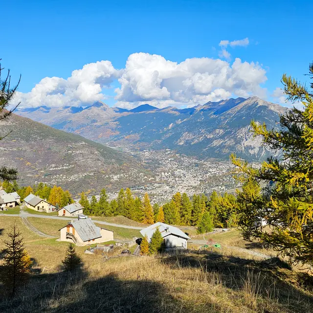
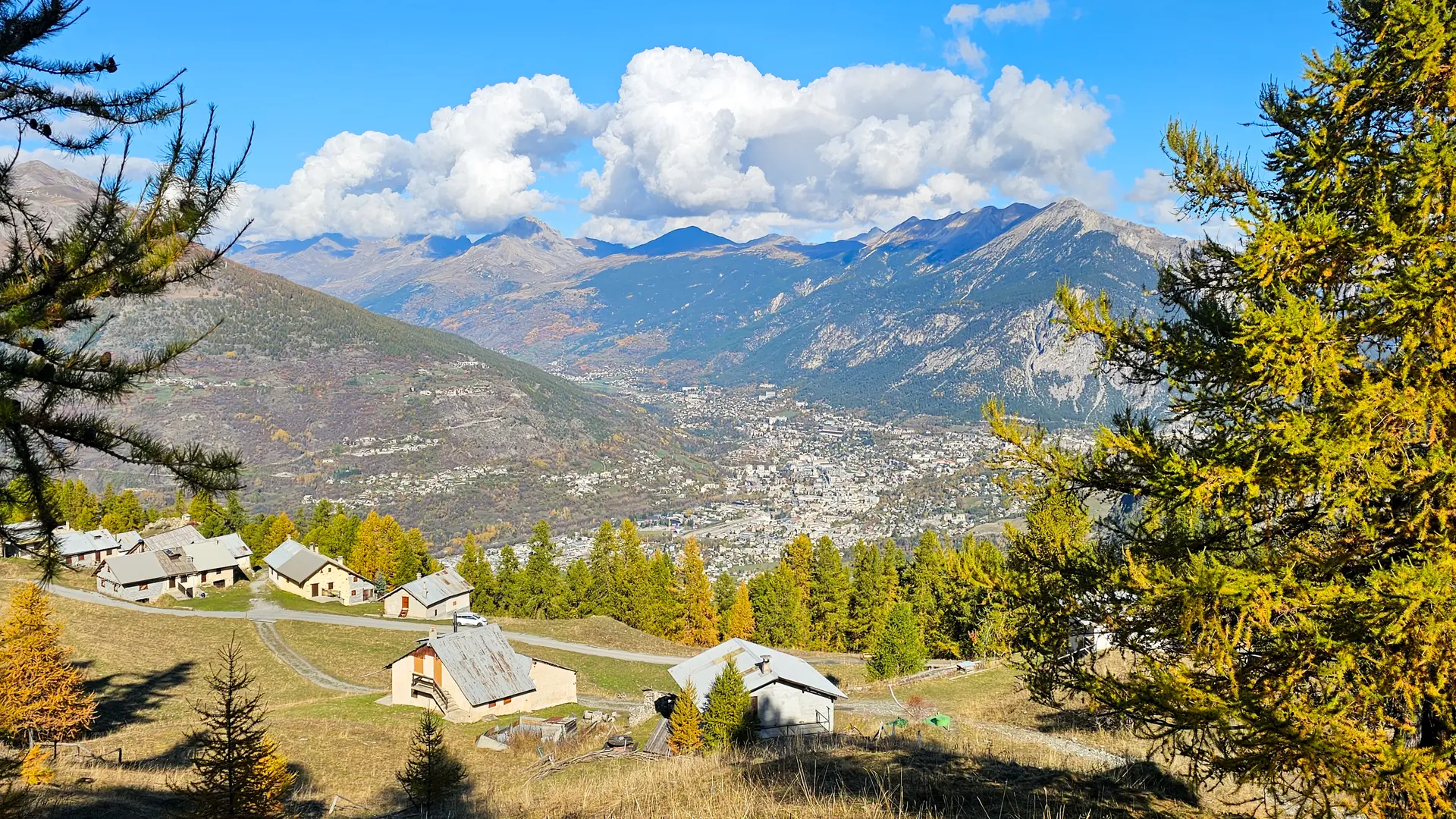
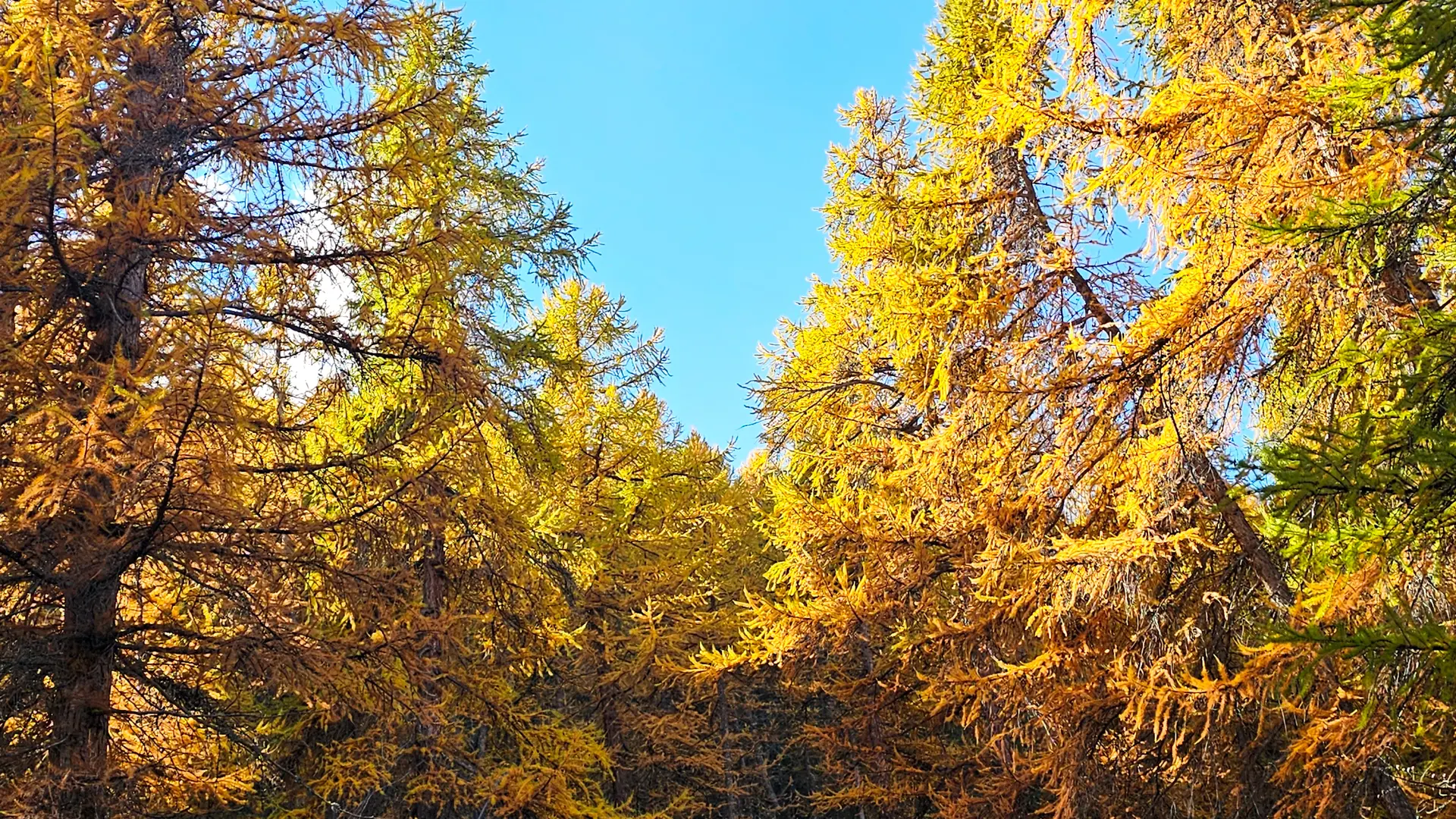
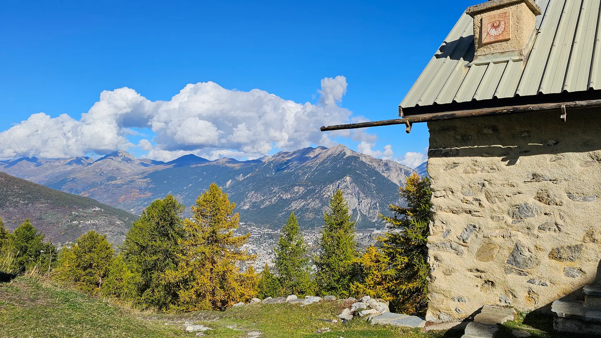
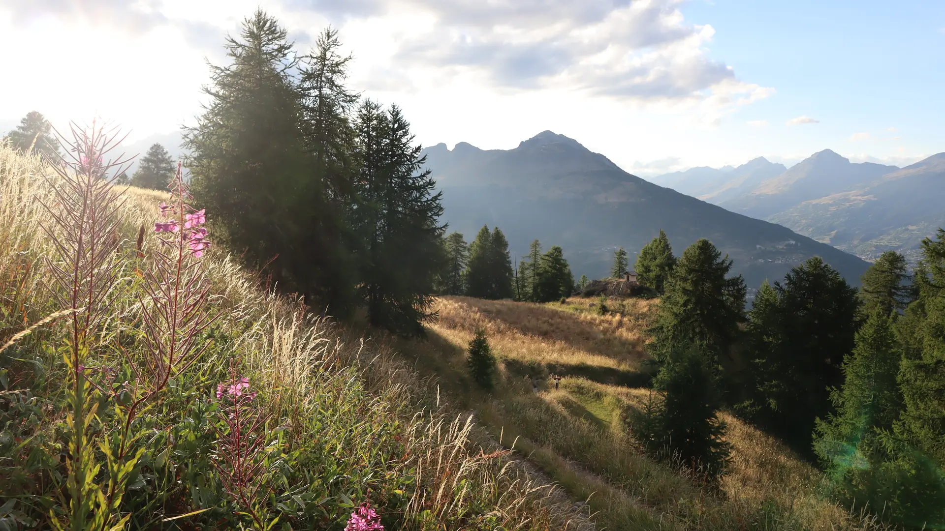
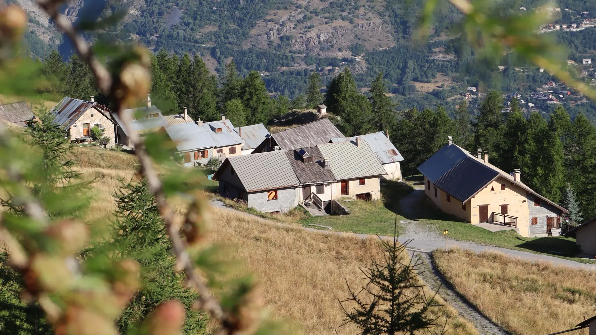
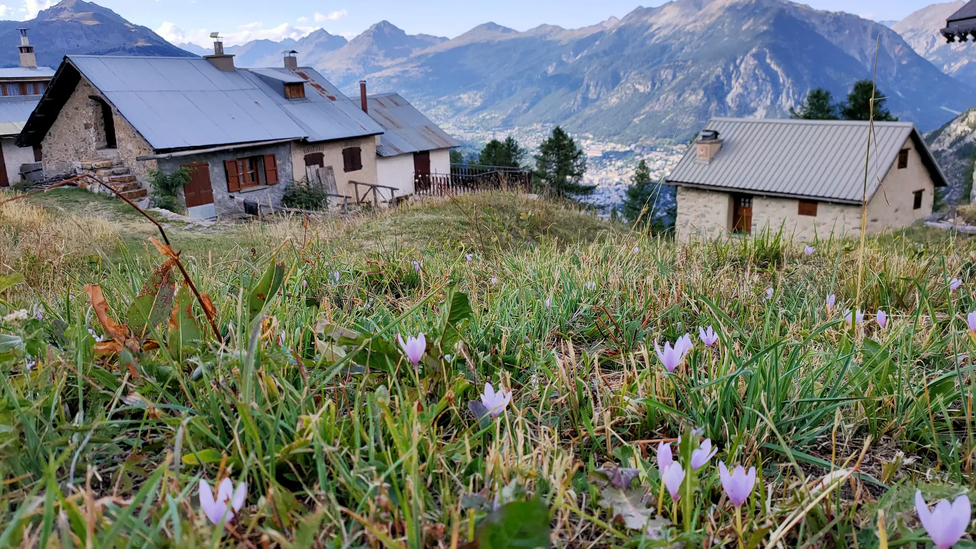
    The climb then becomes a little steeper through the forest, until you reach the Saint-Augustin oratory, perched on the rocky spur overlooking the Briançonnais. You're now on the Mélézin clearing, with its summer cottages and breathtaking views.

    Return by the same route.

    Le Mélézin can also be reached by car via the tarmac road.

    Located in the heart of the Bois du Villar, this asphalt road, far from the main roads, is ideal for strollers.
  • Departure
    Villar-Saint-Pancrace
  • Difference in height
    597.275 m
  • Environment
    • Mountain view
    • Panoramic view
    • Forest location
    • Mountain location
  • Documentation
    GPX / KML files allow you to export the trail of your hike to your GPS (or other navigation tool)
  • Accepted customers
    • Walkers/hikers
    • Level bue - Medium
597 meters of difference in height
  • Maximum altitude : 1892 m
  • Minimum altitude : 1298 m
  • Total positive elevation : 597 m
  • Total negative elevation : -597 m
  • Max positive elevation : 588 m
  • Min positive elevation : -588 m
Services
  • Services
    • Pets welcome