See photos (7)

Le Mourre Nègre, northern side

Sport, Pedestrian sports, Hiking itinerary in Auribeau
15.7 km
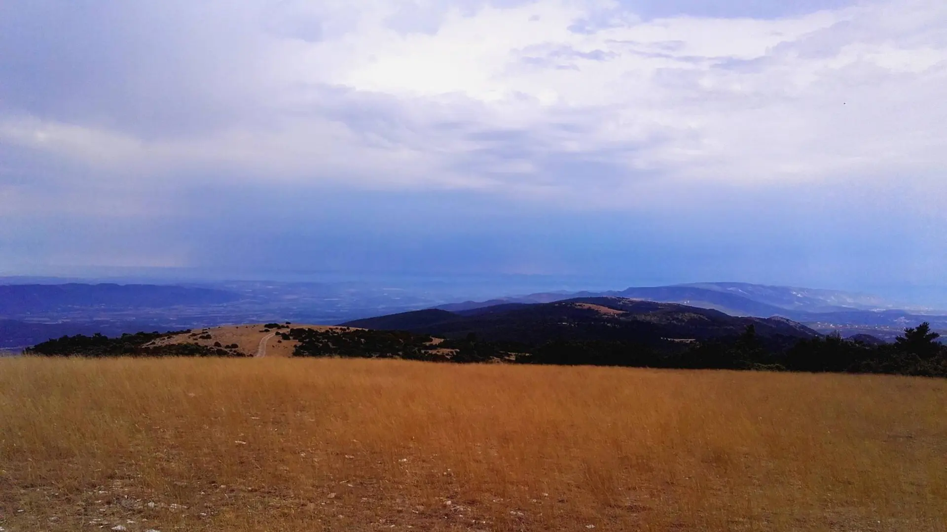
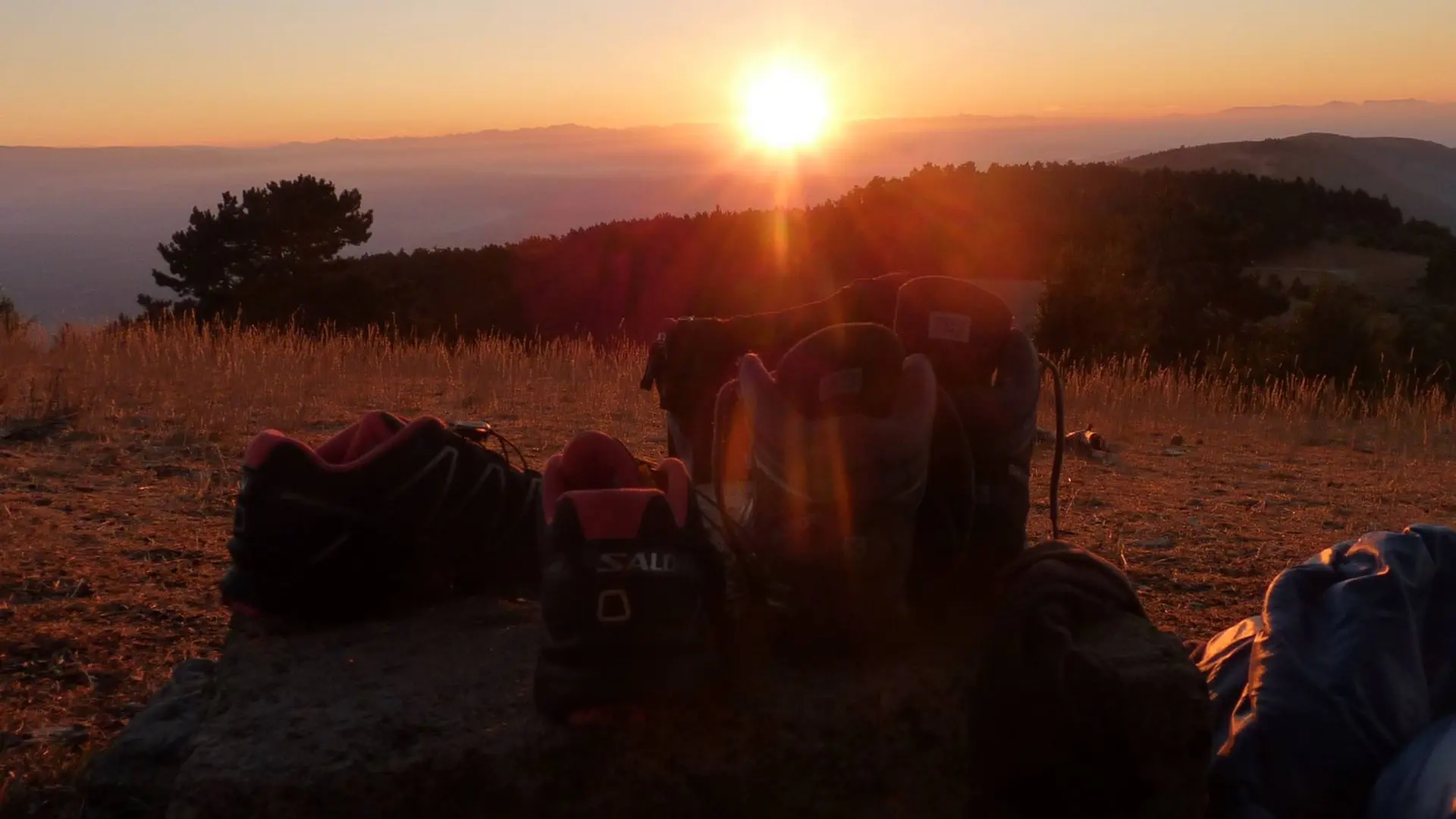
  • A classic, as sporty as bucolic! The height differences can be felt but the climb is unreal and the panoramas of the ridges are mindblowing
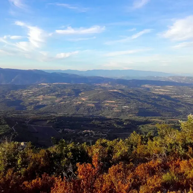
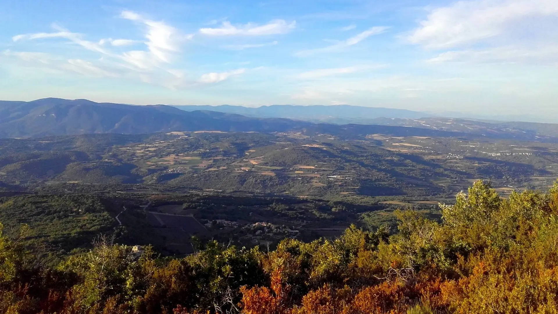
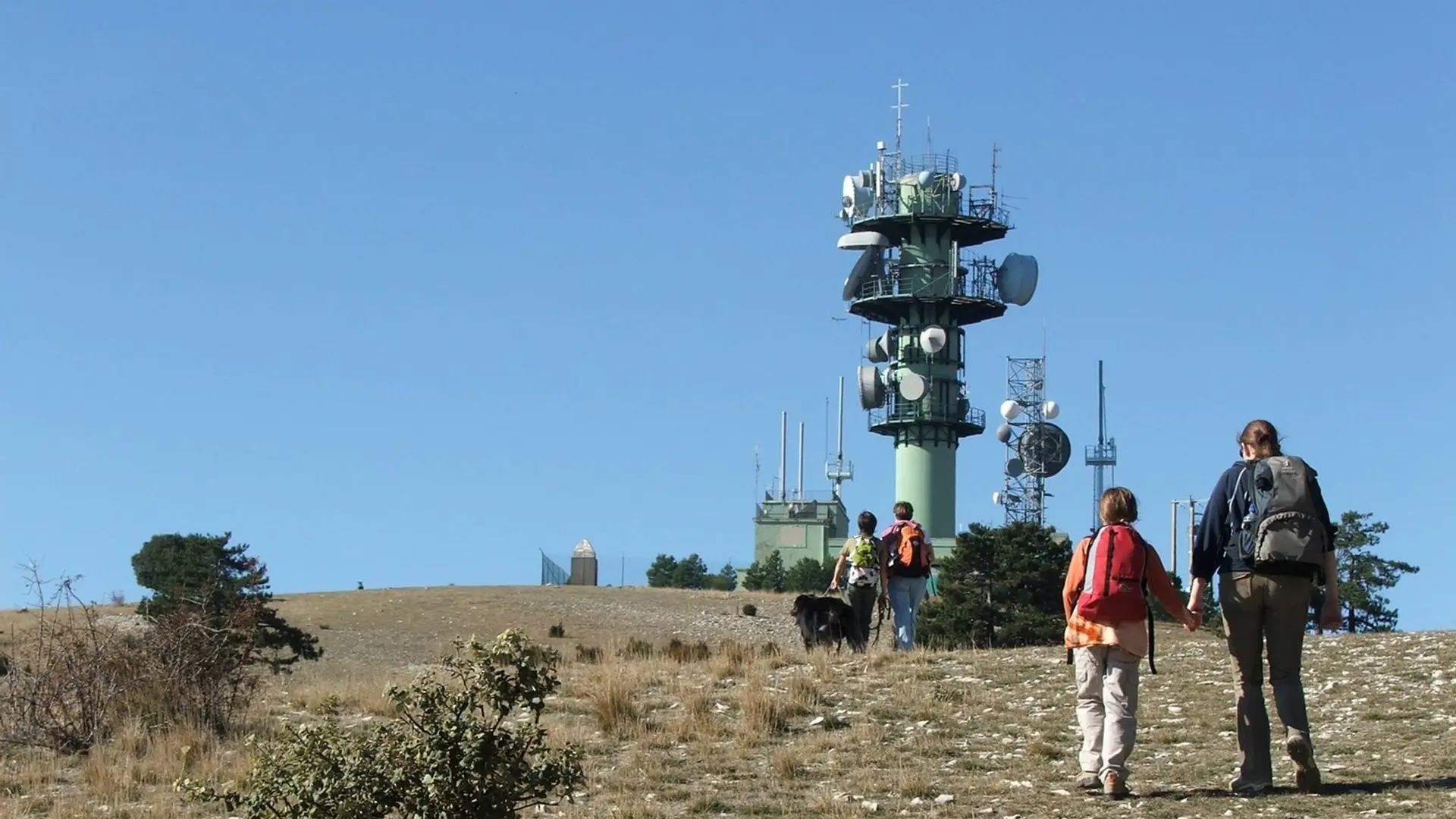
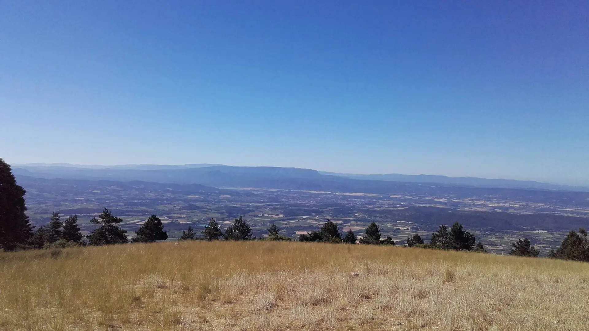
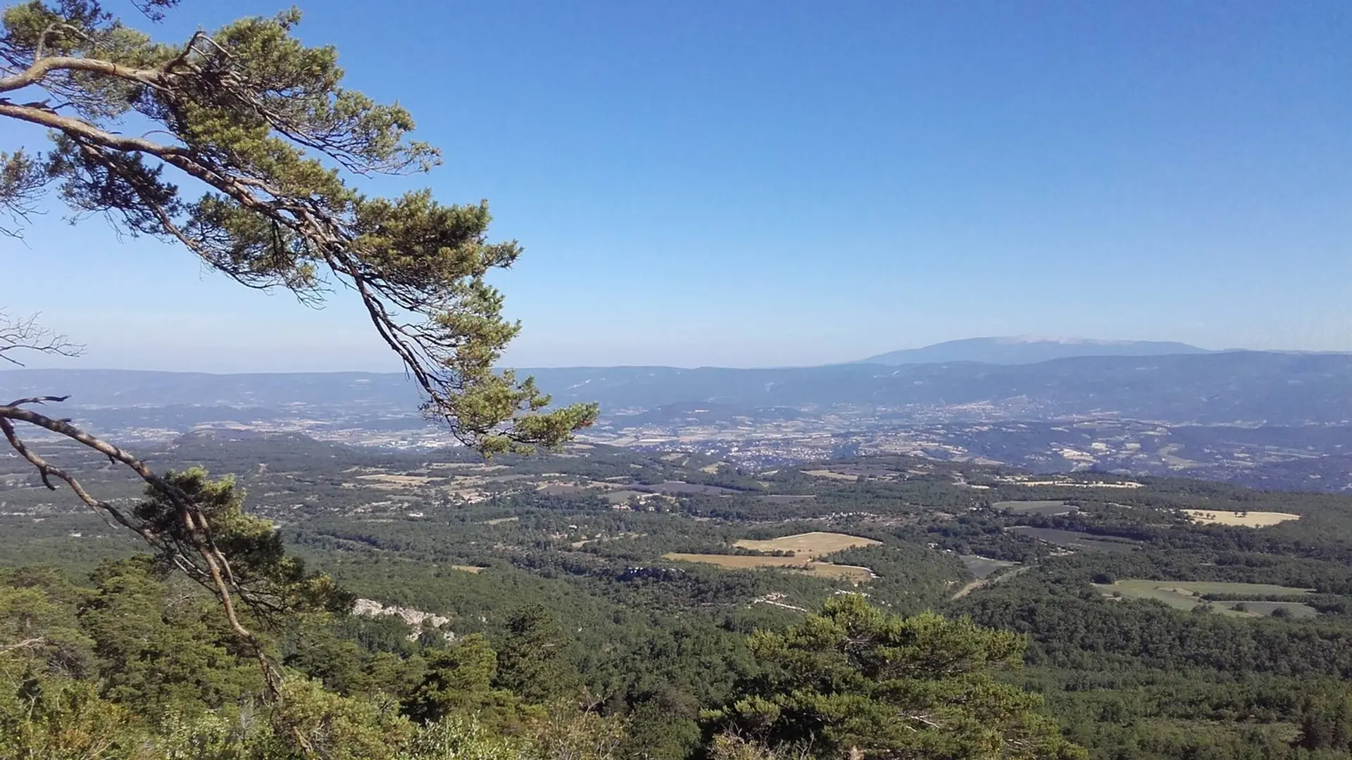
  • Leave the car park and climb right on the paved road (PR). Pass a house and continue climbing on a rocky path. Pass the edge and at the 1st crossing (point 685), turn left (PR). Take the nice balcony path and pass the edges by a succession of uphills and downhills. Continue left in the third valley (PR) and do not go right to the valley of the Trois Eves.
    1- At the crossroads "Marauvière", turn right, pass two hairpin bends and continue the ascent. Reaching a vague pass, continue straight...
    Leave the car park and climb right on the paved road (PR). Pass a house and continue climbing on a rocky path. Pass the edge and at the 1st crossing (point 685), turn left (PR). Take the nice balcony path and pass the edges by a succession of uphills and downhills. Continue left in the third valley (PR) and do not go right to the valley of the Trois Eves.
    1- At the crossroads "Marauvière", turn right, pass two hairpin bends and continue the ascent. Reaching a vague pass, continue straight and follow the road on the hillside. Exit the forest and lead to the track on the ridges. Turn left and go down 200m.
    2- At the "Basse de Cabrière" climb the bump to the right (GR® marking barely visible). Switch, reach the DFCI track and go across to reach the foot of the top bump.
    3- At the tank, climb the path that climbs on the north side of the summit and reach the Mourre Nègre. Go around the top (panorama) leaving the antennas on your right hand. Pass under the power line, and head northwest on the path through the summit field. Dive into the undergrowth and reach the DFCI track below.
    4- At the track, do not dive in front into the Font Jean de Martin valley (steep and rocky), but turn left and take an immediate parallel path to the right. Rise slightly, pass the small sheepfold of the Jas de Brémond and a few meters below (sign-post), turn right. Start heading down following the edge, then dive to the left into the valley of Roumi (PR). Cut three times the forest track and follow the very craggy trail in certain places (cairns). Falling a fourth time on the track, follow it to the right.
    5- At the exit of the first curve, turn right on the trail (PR). Go down, pass three curves and finish with a long cobblestone path section. Turn right to reach the car park.

    Difficult
  • Departure
    Auribeau
  • Difference in height
    1093 m
  • Departure : Lucien Peysson car park, Auribeau.
    Arrival : Lucien Peysson car park, Auribeau.
    Road access : At 9km southeast of Apt through the D48..
    Parking recommended : Lucien Peysson car park, located at the foot of the south side of the village of Auribeau (turn right after the cemetery). .
  • Documentation
    GPX / KML files allow you to export the trail of your hike to your GPS (or other navigation tool)
1093 meters of difference in height
  • Maximum altitude : 1120 m
  • Minimum altitude : 597 m
  • Total positive elevation : 1093 m
  • Total negative elevation : -1071 m
  • Max positive elevation : 497 m
  • Min positive elevation : -419 m