A long but not physically demanding route to the Pas de l'Ours on the Italian border.
This route bears witness to the valley's military history, as it passes by several blockhouses and former military barracks.
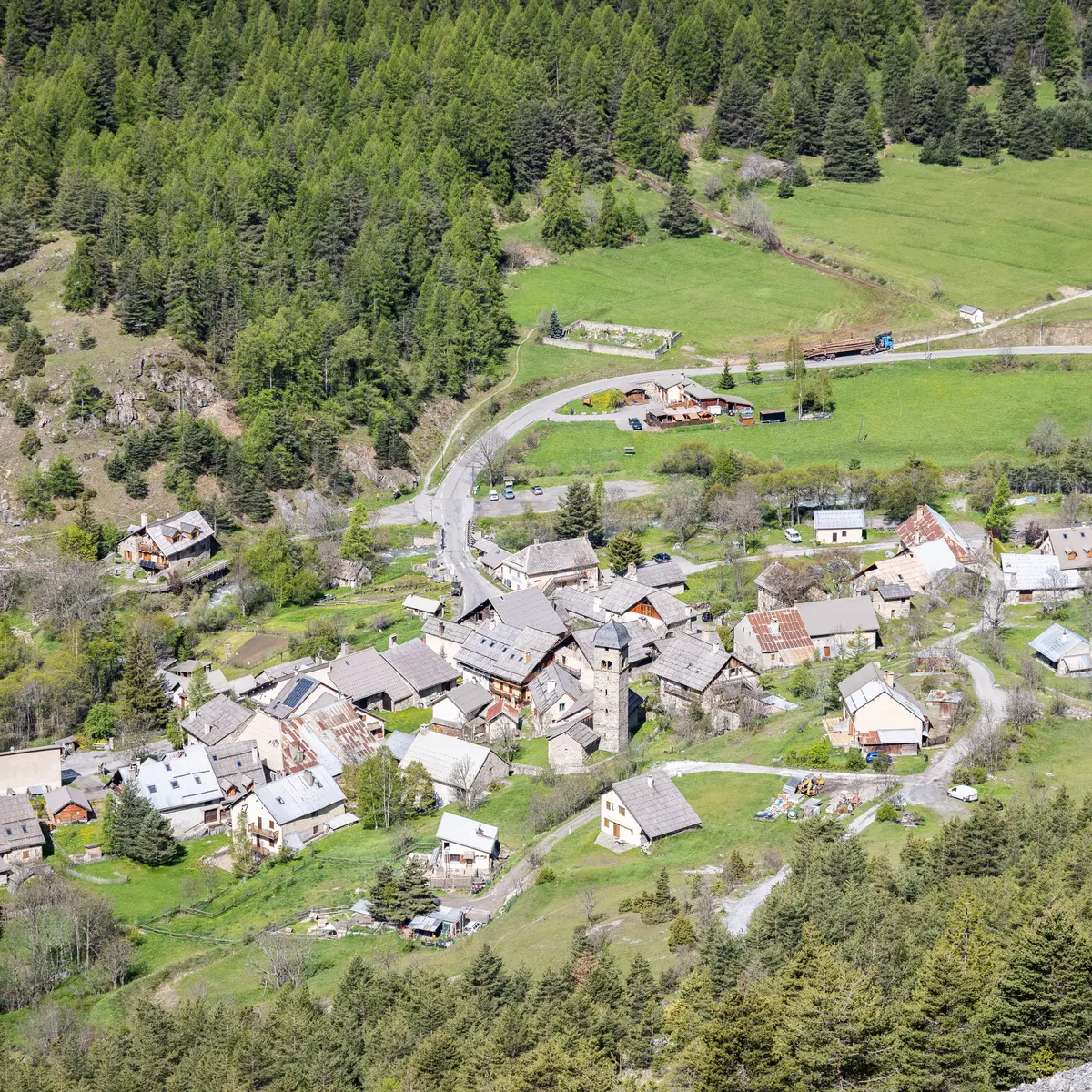
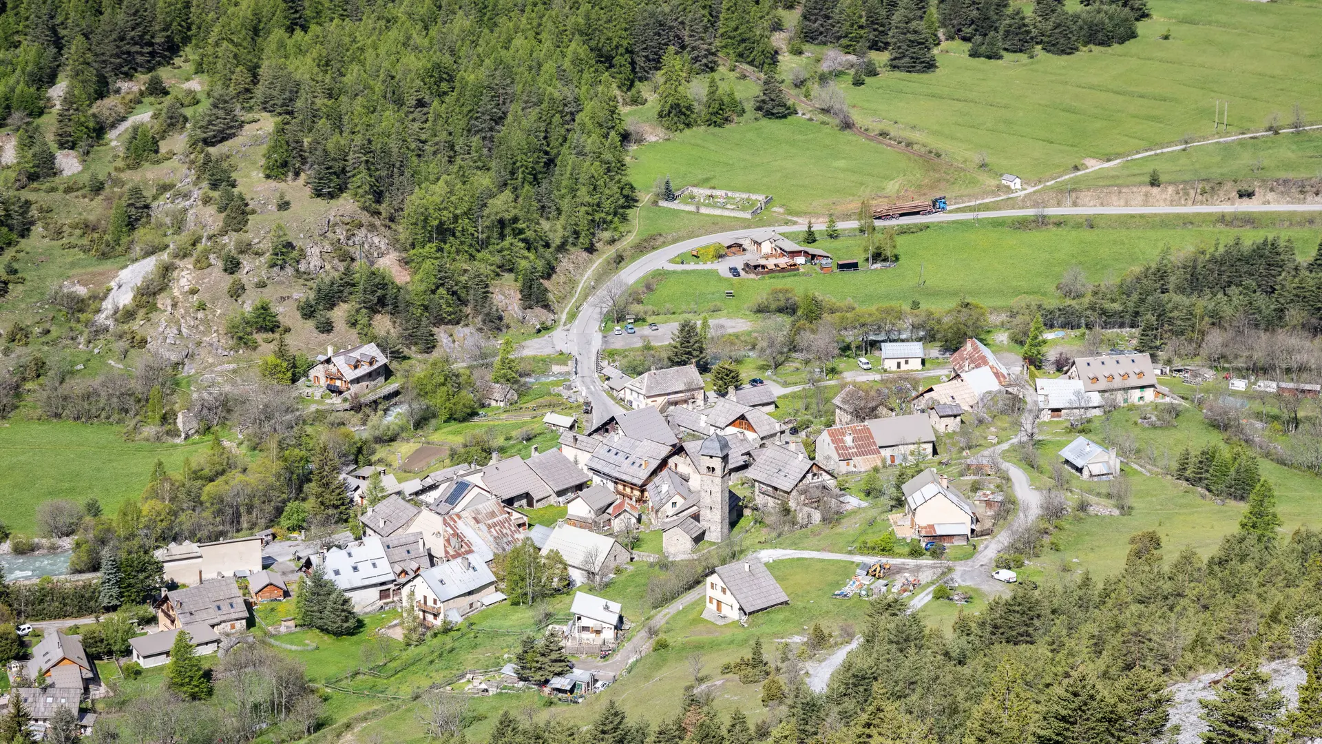
Park in the Plampinet parking lot on the other side of the bridge.
Cross the bridge back into the village, then turn left towards the Cleida inn. Start climbing from the inn to reach the village heights.
Above the village, the tarmac road becomes a forest track dotted with stones and rocks. This is an old military road.
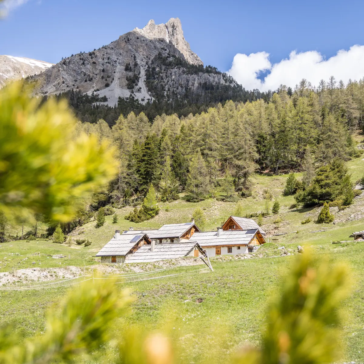
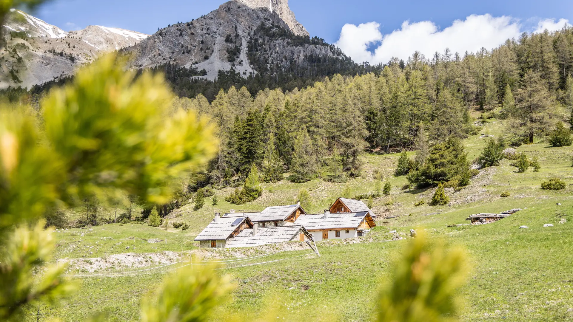
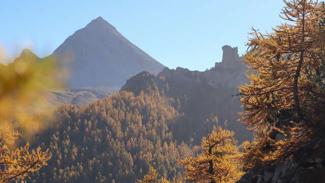
Continue uphill on the GR5. The first part of the climb offers panoramic views of the old Fort de l'Olive and the summit of the ruins. After passing the first blockhouse, the valley narrows until you reach an intersection: the path on the left leads to the Col des Acles, while that on the right leads to the Chalets des Acles.
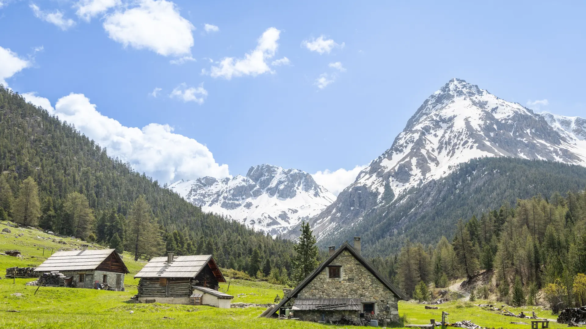
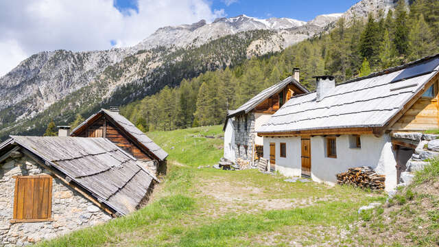
Follow the right-hand path to the Chalets des Acles. Once you've reached the alpine hamlet, don't follow the GR5, which turns right towards the Col de Dormillouse and heads straight on towards the Ravins des Lauses and Col des Désertes. Streams run alongside the path, and the Charra, Roche des Prés and Aiguille d'Arbour peaks crown this valley.
At the last intersection, turn left to Pas de l'Ours and Ravin des Lauses.
The Pas de l'Ours is also the gateway to Italy via the Roche de la Garde.
Return by the same route.
Read more
Plain text period
From 31/05 to 15/11 daily.
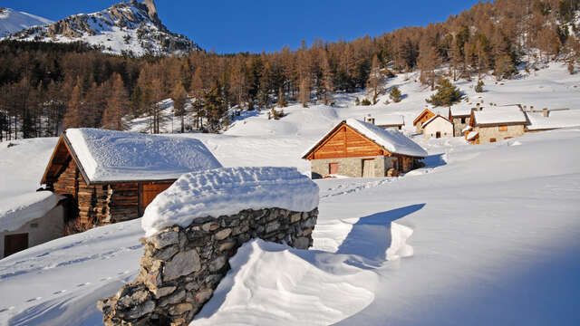
Depending on snow conditions.