
- Voir les favoris
See photos (3)
Le Pays d'Entrevaux - Espace Cyclosport
Sport, Cycling sports, Cycle tourism route
in Entrevaux
87.0
km
5h
Very difficult
-
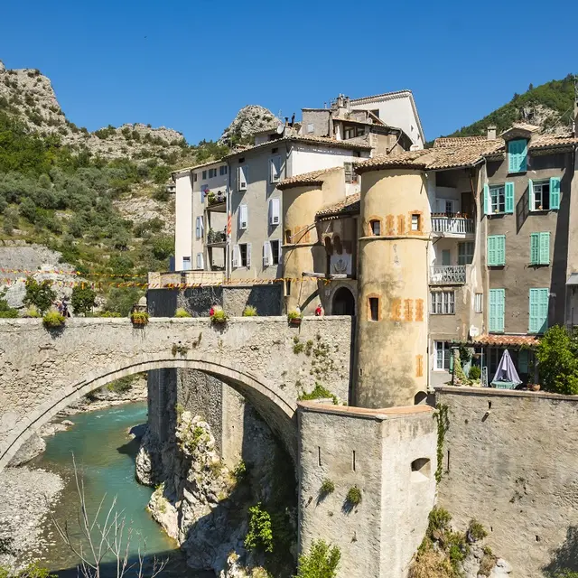
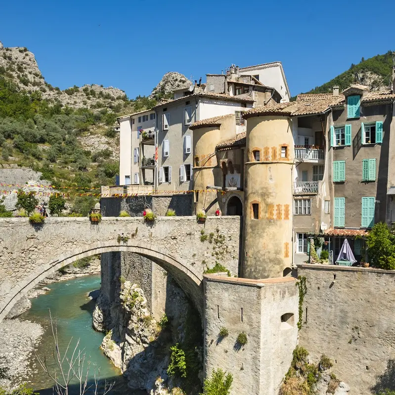
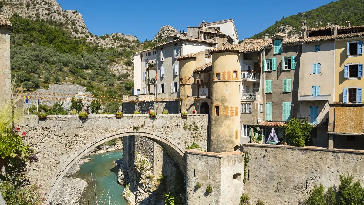
Leaving from Entrevaux, an exceptional medieval town, this challenging itinerary combines the beauty of man-made scenery with olive-growing terraces and physical exertion.
-
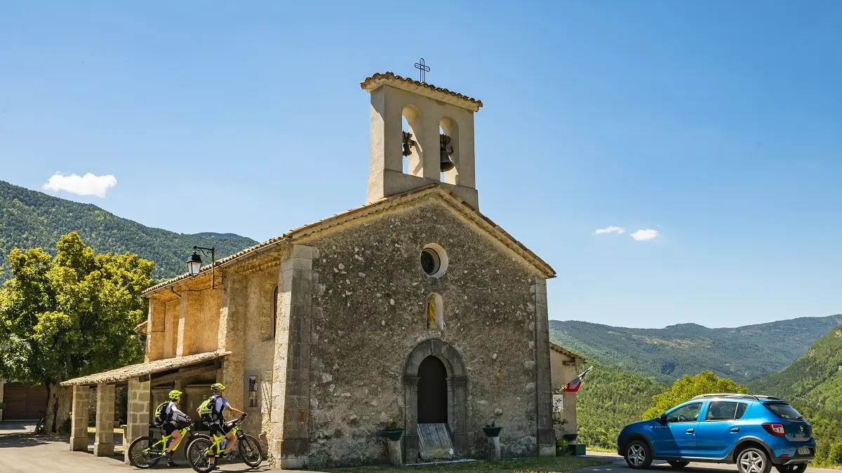
It invites you to explore its winding roads, natural surroundings and wild landscapes.
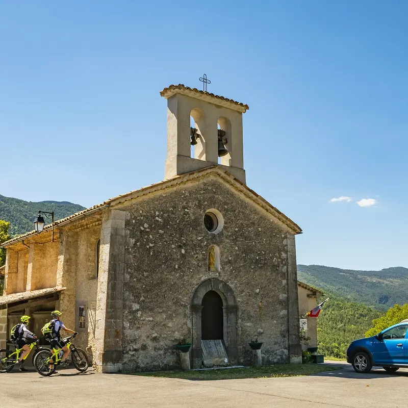
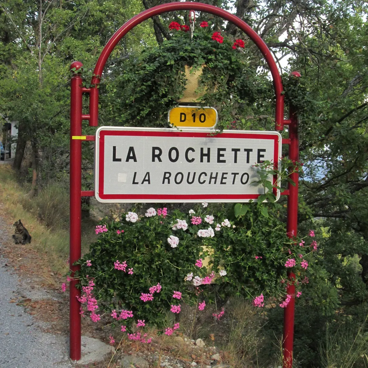
From Entrevaux, head for Val de Chavagne and the villages of St Pierre, Collonques, Briançonnet, Ubraye and the clues de Rouaine on route nationale 202. At the Gueydan bridge, turn right to return to Entrevaux.
This route will leave you with unforgettable memories of Haute-Provence.
Clockwise is best
- Departure
- Entrevaux
-
-
Difference in height
- 2667.75 m
-
-
-
Spoken languages
-
-
-
Documentation
- GPX / KML files allow you to export the trail of your hike to your GPS (or other navigation tool)
-
-
-
Accepted customers
-
- See all reviews
- 2668 meters of difference in height
-
- Maximum altitude : 1214 m
- Minimum altitude : 480 m
- Total positive elevation : 2668 m
- Total negative elevation : -2668 m
- Max positive elevation : 311 m
- Min positive elevation : -438 m
