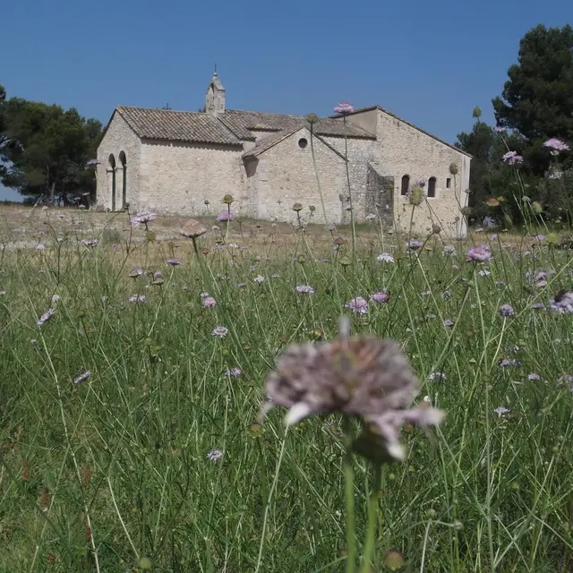
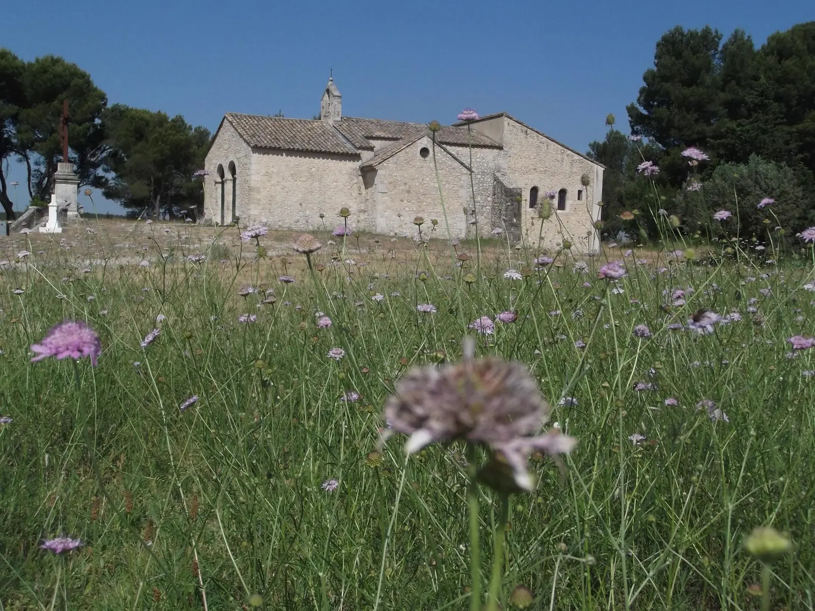
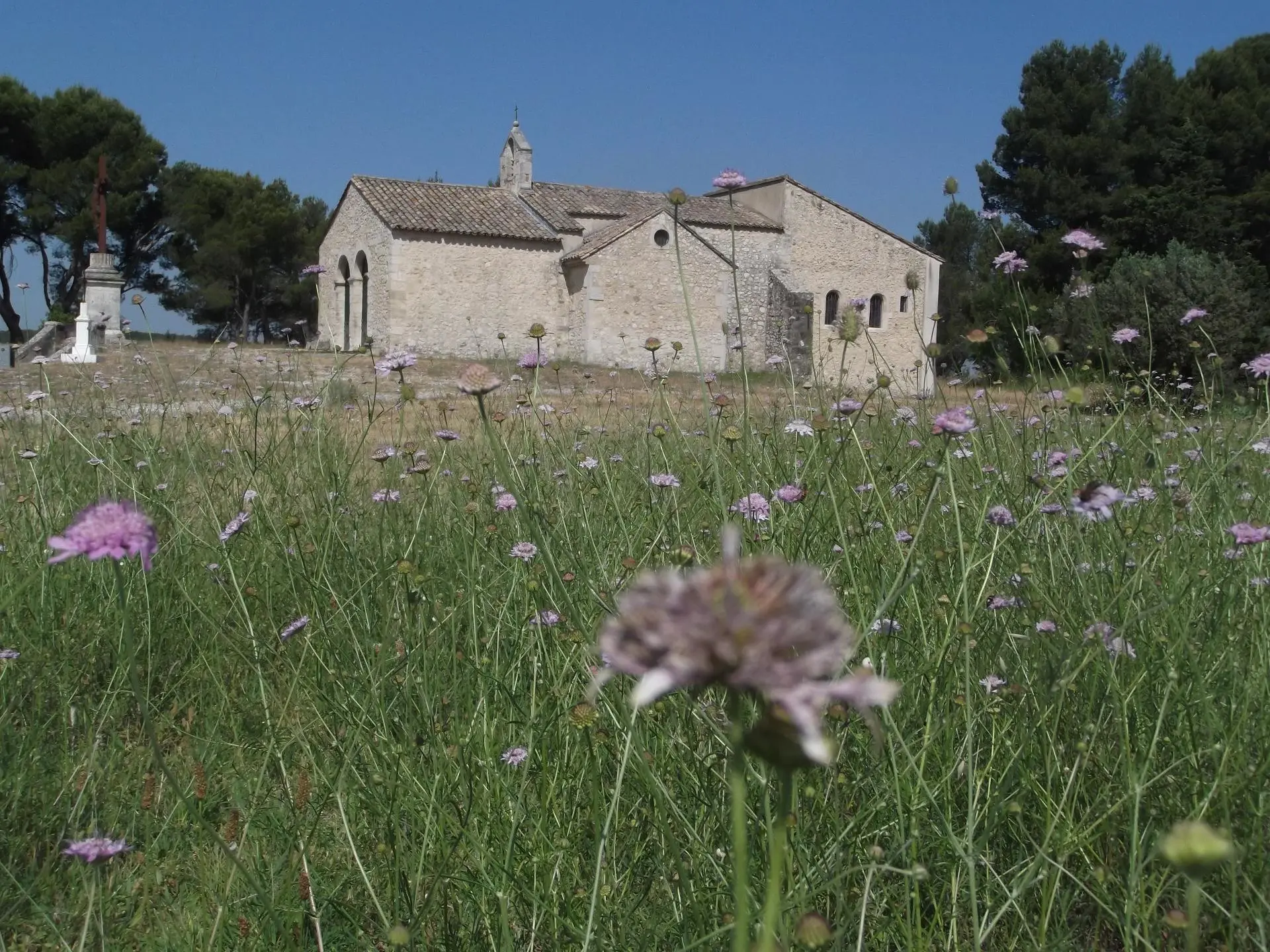
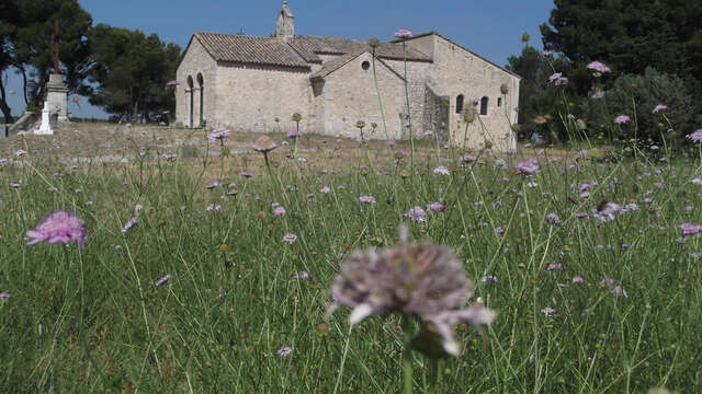
13VIS001813_1_HD.jpg

Le paysage agricole de la plaine du Comtat

Sport, Pedestrian sports, Hiking itinerary in Noves
12.4 km
3h 30min
Medium
  • A 12km (3h30) walking itinerary to visit the village center of Noves, as well as its heritage scattered throughout the Provencal countryside: cross the forest and orchards, to see mas, crosses, chapels...

  • Departure
    Noves
  • Difference in height
    103.667 m
  • Plain text period
    All year round.
  • Documentation
    GPX / KML files allow you to export the trail of your hike to your GPS (or other navigation tool)
  • Accepted customers
    • Level bue - Medium
104 meters of difference in height
  • Maximum altitude : 103 m
  • Minimum altitude : 39 m
  • Total positive elevation : 104 m
  • Total negative elevation : -104 m
  • Max positive elevation : 51 m
  • Min positive elevation : -54 m