Start in the car park under the Saint Roche windmill
Take the Pont des Fées discovery trail.
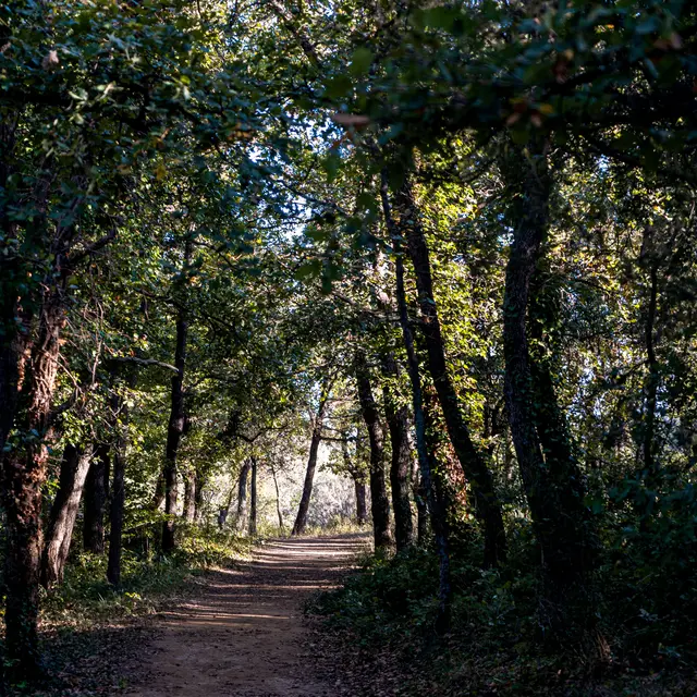
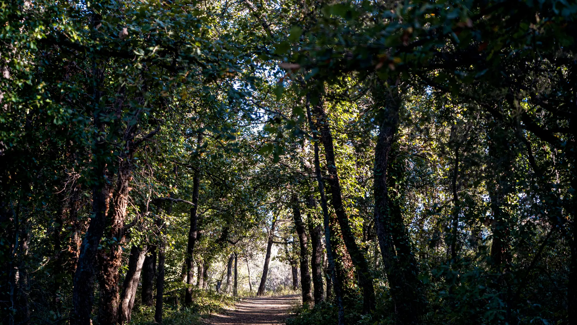
Once you have gone past the Pont de Fées (bridge), at the junction with the trail that continues towards to the windmill, go through the big wooden gate and straight ahead.
50m after crossing a little ford on the La Garde mountain stream, you will see an old olive orchard and an ancient 18th century house.
Further on, on the right, take the footbridge across the river, and then take the tarred path.
After a 500m climb, at the junction go along the main road to the Tourist Information Office.
Then go to Place Neuve (square). Once there, a visit of the village is a must!
Then head towards the Mairie (town hall) and Saint Roch windmill.
You are back at the starting point.
Read more