- Voir les favoris
See photos (3)
Le Pré de l'Aubre
Sport, Pedestrian sports, Hiking itinerary
in Chorges
5.4
km
-
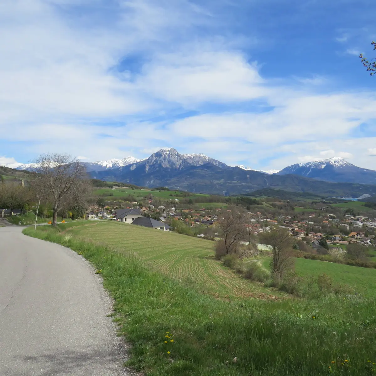
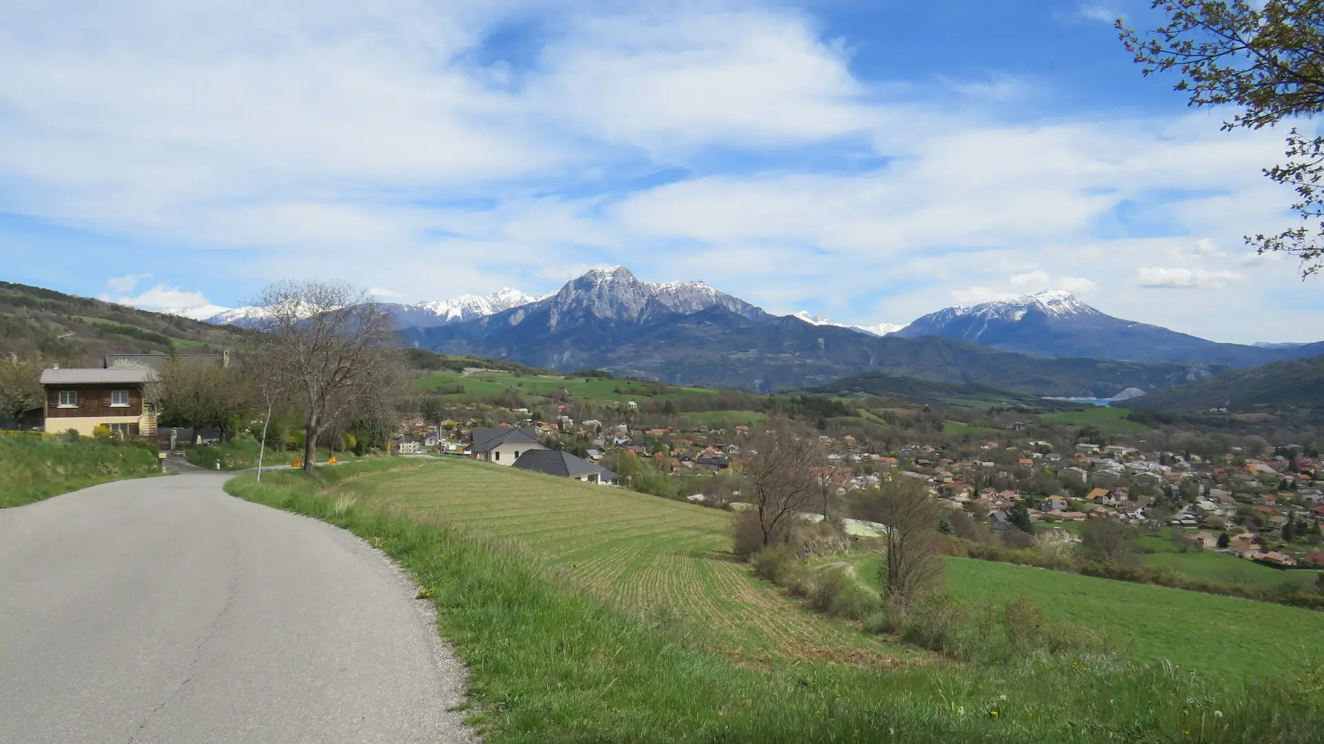
An easy route on the south-facing slopes that can be enjoyed in all seasons, and which quickly changes from a road skirting the fields of the village to a dilapidated path.
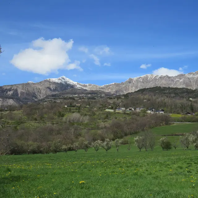
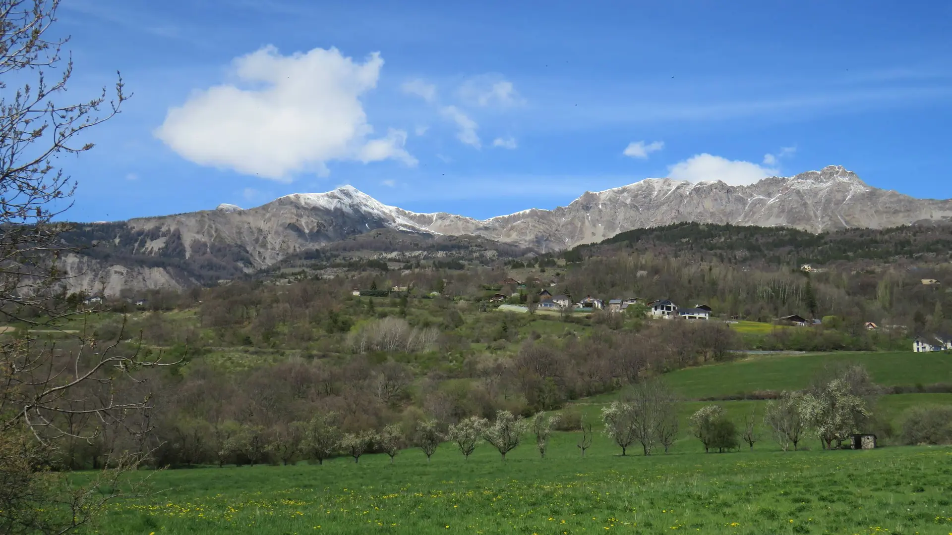
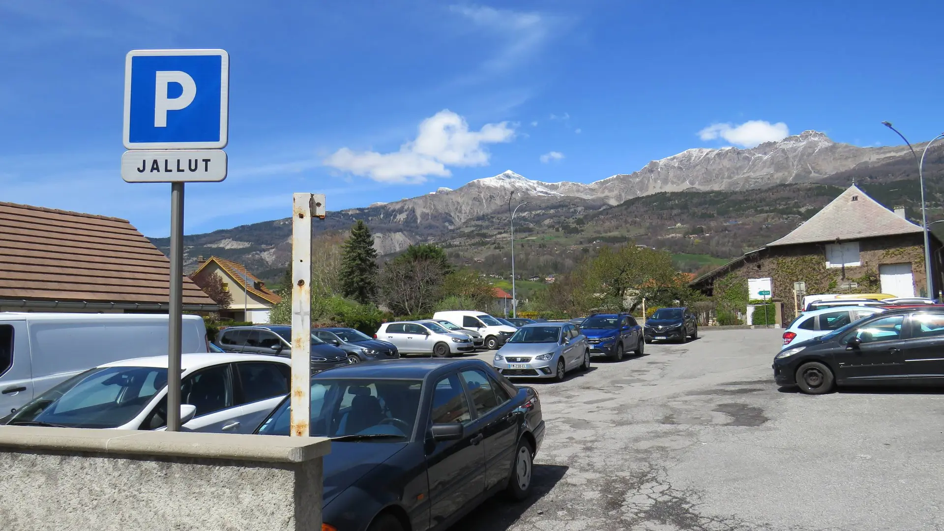
-
1) From the tourist office, take rue des Eguières as far as Place du Grand Logis. Turn left and follow the Pré de l'Aubre road for around 2 km, until you reach a crossroads with 4 roads.
2) Then turn right for 250 m, (leaving the first path on your right), take the second which rises up the slope (reading table at the entrance to the path).
Bit by bit, the panorama opens up over Chorges and Lac de Serre-Ponçon. 800m further on, pass to the left of a house with a porch. This is the highest...1) From the tourist office, take rue des Eguières as far as Place du Grand Logis. Turn left and follow the Pré de l'Aubre road for around 2 km, until you reach a crossroads with 4 roads.
2) Then turn right for 250 m, (leaving the first path on your right), take the second which rises up the slope (reading table at the entrance to the path).
Bit by bit, the panorama opens up over Chorges and Lac de Serre-Ponçon. 800m further on, pass to the left of a house with a porch. This is the highest point of the walk (1024m).
3) Now follow the path downhill to reach the road, which you should follow downhill for 300m. Turn right onto a track that runs alongside vineyards and meadows and heads straight back to your starting point via Rue du Pré du Château.
Very easy
- Departure
- Chorges
-
-
Difference in height
- 169 m
-
-
-
Departure : Chorges Tourist Office.
Arrival : Chorges Tourist Office.
Road access : Follow the N94 from Gap or Embrun to Chorges, staying on the main road until you reach either the Chorges station car park or continue towards the town centre to park at the Jallut or Grand Logis car parks..
Parking recommended : Jallut car park, Chorges .
Public transport : Public transport : ccserreponcon.com .
- See all reviews
- 169 meters of difference in height
-
- Maximum altitude : 1030 m
- Minimum altitude : 862 m
- Total positive elevation : 169 m
- Total negative elevation : -169 m
- Max positive elevation : 156 m
- Min positive elevation : -11 m
