
- Voir les favoris
See photos (2)
Le Sommet de Crémon
Sport, Pedestrian sports, Hiking itinerary
in Saint-Julien-du-Verdon
6.9
km
5h 30min
Very difficult
-
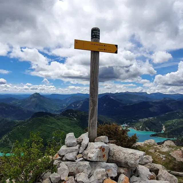
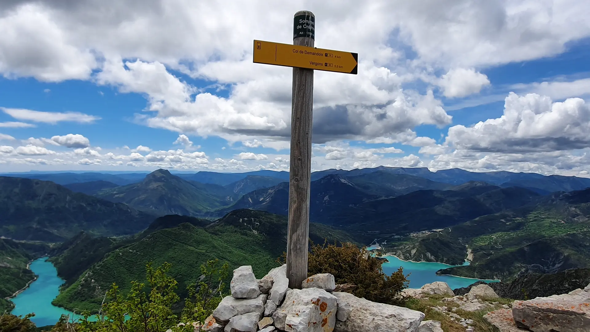
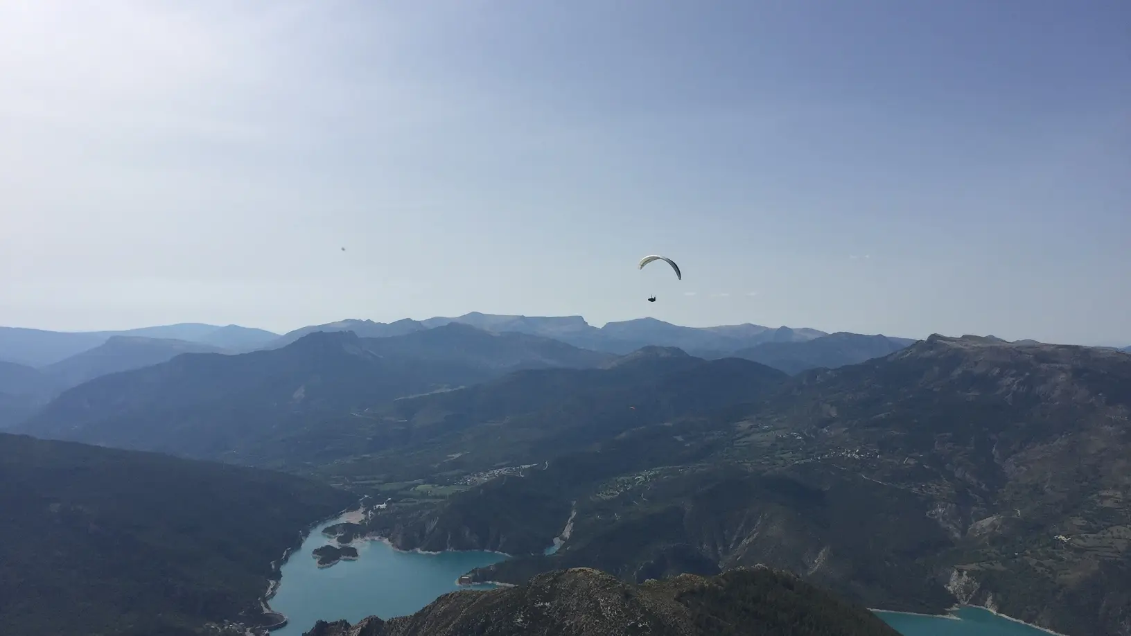
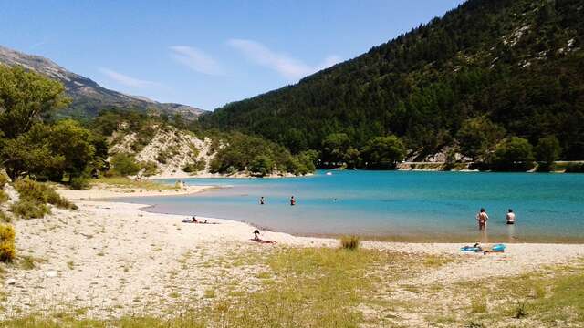
View of Lac de Castillon. Early in the morning and on a clear day, from the summit you can see Corsica, the gap in the Gorges du Verdon to the south-west, Mont-Chiran to the west and the highest point in the area to the north-west, the Cheval Blanc massif.
- Departure
- Saint-Julien-du-Verdon
-
-
Difference in height
- 847.775 m
-
-
-
Documentation
- GPX / KML files allow you to export the trail of your hike to your GPS (or other navigation tool)
-
-
-
Accepted customers
-
- See all reviews
- 848 meters of difference in height
-
- Maximum altitude : 1748 m
- Minimum altitude : 953 m
- Total positive elevation : 848 m
- Total negative elevation : -63 m
- Max positive elevation : 351 m
- Min positive elevation : -18 m
Services
-
-
Services
-
