-Departure Tourist Office (post Z1) Square Reda Caire. Follow signs for "Source des Nayes".
From the Tourist Office, take Boulevard de la Libération to Rue Jean Jaurès
Jean Jaurès (main street) and turn right for 120 m to reach Place du
Place du 04 Septembre (Fontaine).
-Place du 04 Septembre (post Z2/3). Follow signs for "Source des Nayes".
At Place du 04 Septembre, take the Plan d'Aups Sainte Baume road (RD 480). After the bridge over the Huveaune, follow the road for 150 m, then turn right onto Route des Nayes. Route ''Bleu''.
-Les Nayes (post Z4). Follow signs for "Pont d'Orgnon".
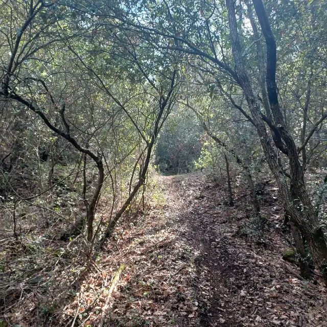
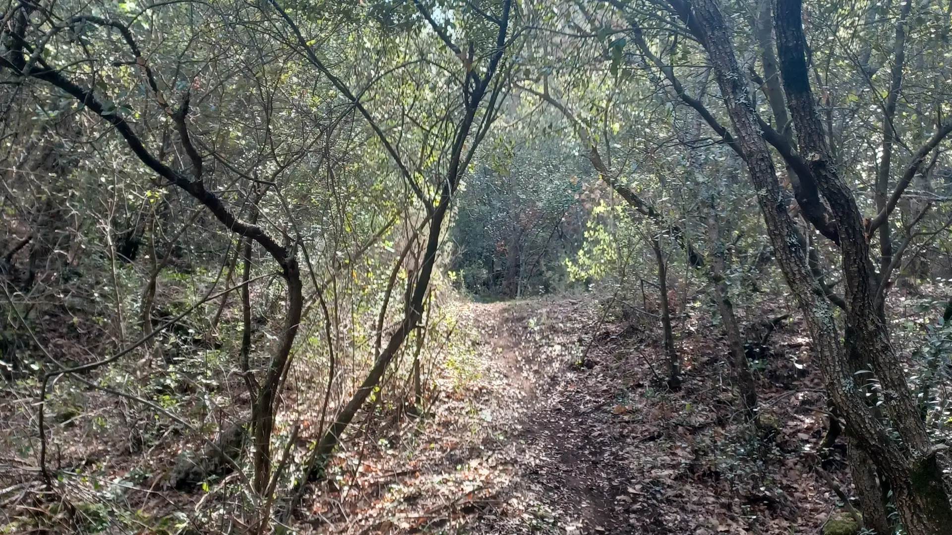
Go past the Source des Nayes, then up the course of the Peyruis stream, sometimes on the right bank, sometimes on the left, to reach the Pont d'Orgnon bridge. Follow the calade to the RD 480 road, which you climb 1 m to reach the crossroads. Blue" route
-Pont d'Orgnon (post Z5). Junction RD 480 / Piste des Sources.
Follow signs for "Bergerie de Peyruis par le Défens".
At the crossroads, head south, between the RD 480 and the Piste des Sources, up the path through the woods; reach the Défens trail. Blue" trail.
-Piste du Défens (post Z6). Follow "L'Adret du Plan d'Aups".
Follow the track to the left, heading east, then climb the Vallon de la Citerne to the right. Blue'' trail.
-Carrefour des Enfers (post Z7). Follow signs for "Auriol Les Encanaux".
Take the right-hand track and reach a crossroads.
Blue'' trail.
-L'Adret du Plan d'Aups - Limite des départements 83 / 13 (post SB80). Follow "Auriol".
Follow the track downhill, marked "Yellow", then leave it after 1 Km 7 (50 m. before DFCI tank no. 94) to turn left onto the old mule track "Chemin de l'Adret" and rejoin the track.
-Chemin de l'Adret crossroads (post SB72). Follow signs for "Auriol".
Cross the track and head downhill, following the yellow route.
-Chemin de l'Adret crossroads (post SB71). Follow signs for "Auriol".
Merge with the track and take the right-hand path.
-Carrefour de l'Horloge (post SB76). Follow signs for "Saint-Zacharie".
At the crossroads (DFCI barrier), take the opposite path marked ''Bleu''.
Carrefour des Lagets (post SB75). Follow signs for Saint-Zacharie.
Take the right-hand track uphill Route ''Jaune
-Grand Vallon crossroads (post SB74). Follow signs for Saint-Zacharie.
Leave the track and turn left onto the ''Sentier du Grand Vallon'' Tracé ''Bleu''.
-The ''Bois de la Lare'' trail (post SB78). Follow signs for Saint-Zacharie.
Meet the ''Bois de la Lare'' trail and turn left Yellow trail.
-Departmental boundary 13 / 83 SB79. Follow signs for "Saint-Zacharie par Garnier".
At the DFCI barrier, take the path on the left and descend into the valley
which forms the boundary between departments 13 and 83.
At the bottom of the valley, take a steep right to join the "piste des Adrets". Follow the track to the left to reach the paved Garnier road. Turn right to reach Les Nayes Tracé ''Bleu''.
Les Nayes (post Z4). Follow "Saint-Zacharie".
In ½ turn, return to Saint-Zacharie Ville Tracé ''Bleu''.
- Office du tourisme (post Z1) Square Reda Caire. Arrival.
Read more