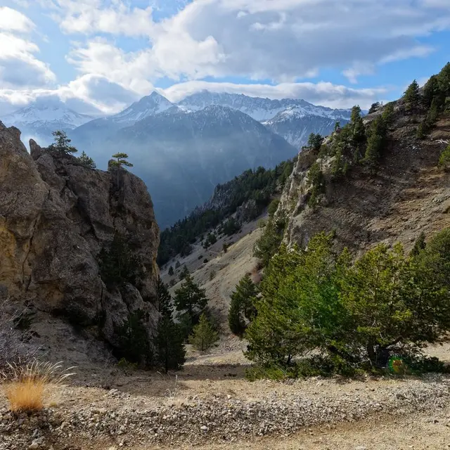
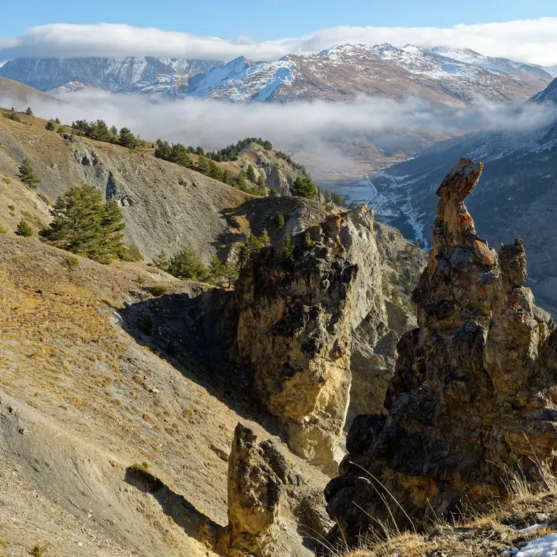
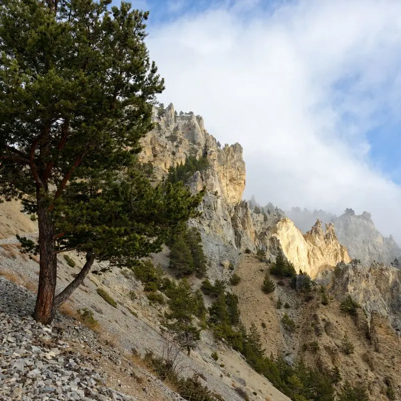
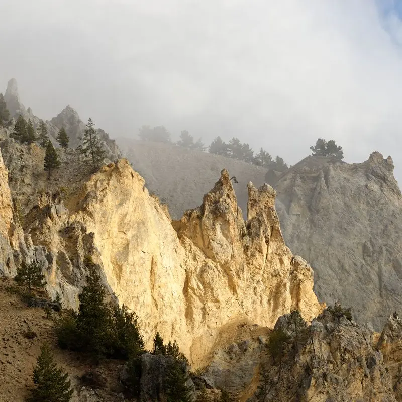
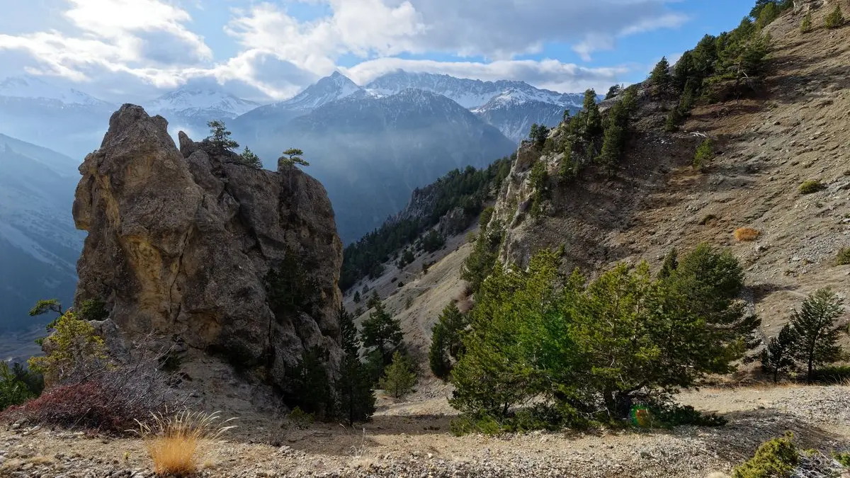
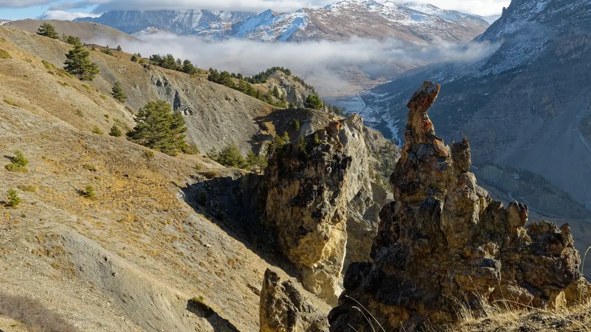
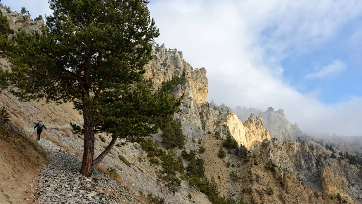
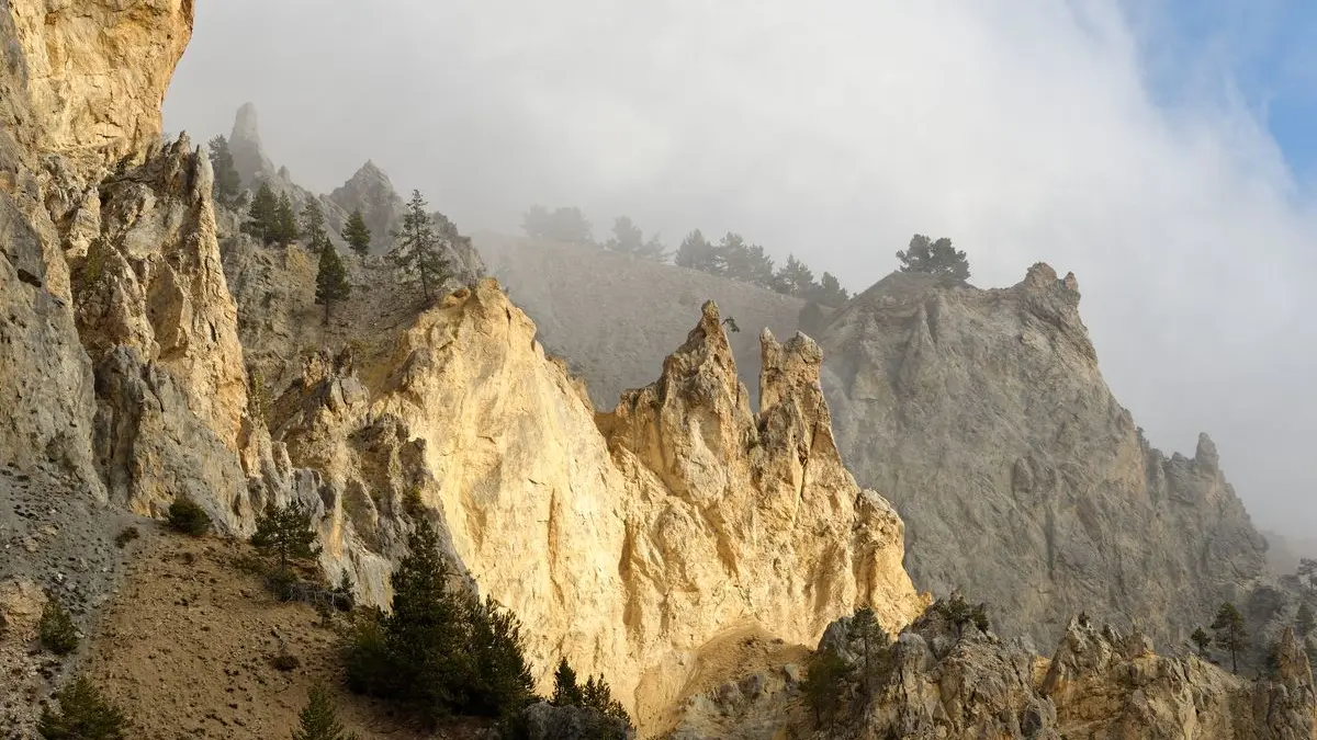
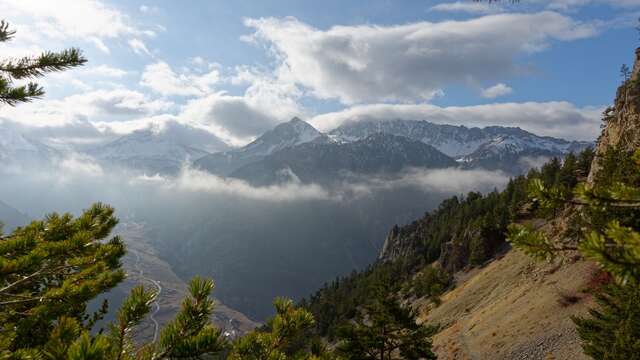
A short, easy hike in the hills above Cervières. Buildings from the 1900s, old blockhouses, summer cottages and vast valleys punctuate this stroll, offering beautiful panoramic views over the Fonds de Cervières valley, the Izoard and the Grand Peygu.
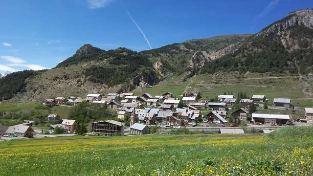
Just above Cervières, park in a small recess after the first hairpin bend, where a wooden sign indicates "Roche Moutte".
The path winds up through the forest to reach the Bois des Bans battery: three buildings dating from 1898. Continuing to the edge of the forest, the path then crosses a small scree that quickly gives way to vast alpine meadows dotted with juniper trees.
Keep your eyes peeled for chamois! The path twists and turns as it rises slightly through the valley. At the first junction, turn left: the Bergerie de Peyre Moutte is just above the track. Follow a grassy track below the sheepfold for 700 metres, then leave the track and take the small path on the left, which gently descends towards the Alp du Pied sheepfold and the Sainte-Marie Madeleine chapel below.
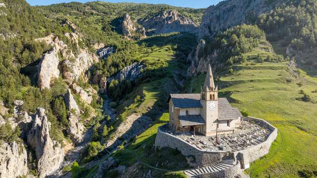
Cross the Alp du Pied summer cottages and continue downhill on a wider gravel path until you reach Saint-Michel church on the heights of Cervières.
Return to the starting point via the tarmac road for 300 metres.