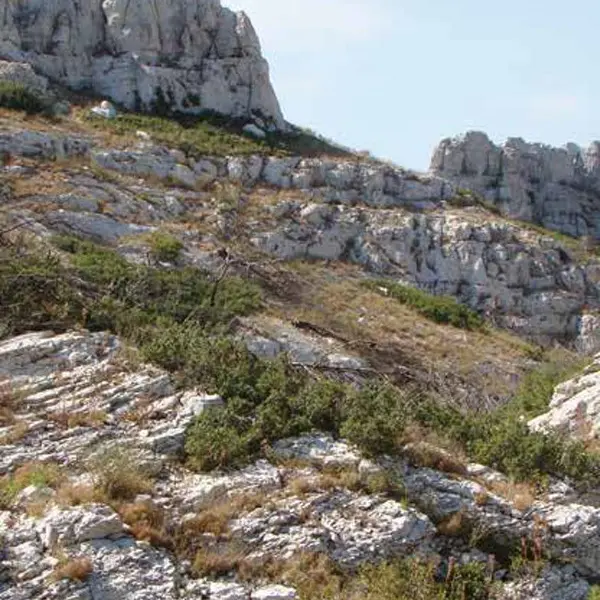
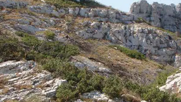
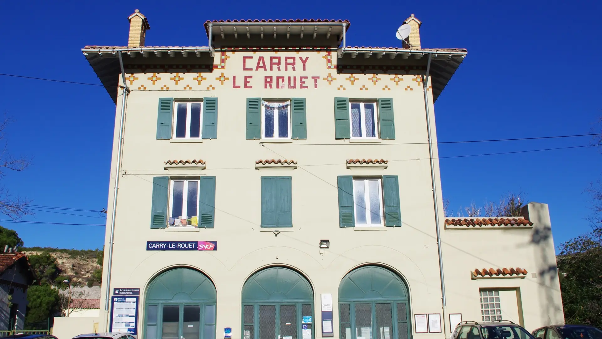
This 10km circuit starting from the Tourist Office allows you to discover the hills behind Carry-le-Rouet.
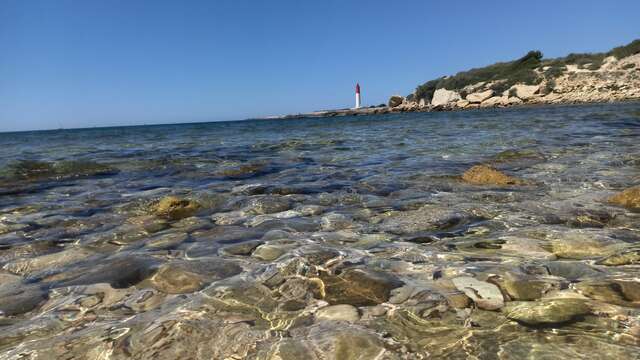
This easy hike alternates between paths in the valleys and tracks with beautiful sea views. You'll discover ancient caves still inhabited in the early 1900s. The orientation table gives you a wide view of the massifs around Marseille and its islands, all the way to the La Couronne lighthouse. The Vallon de Jaume is still a beautiful wooded valley.
Read more
Plain text period
All year round.
Except in summer, from June 1 to September 30, when access to the massifs is prohibited.
For more information, call 0811 20 13 13.