Park in the hamlet of La Vachette, then cross the hamlet to join the farm track that leads from the road just opposite the entrance to Camping Le Montana towards the forest.
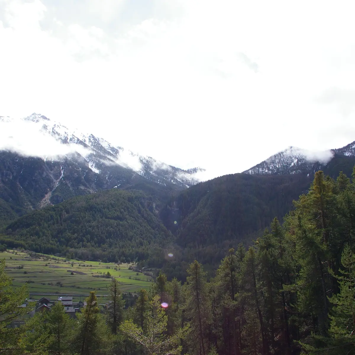
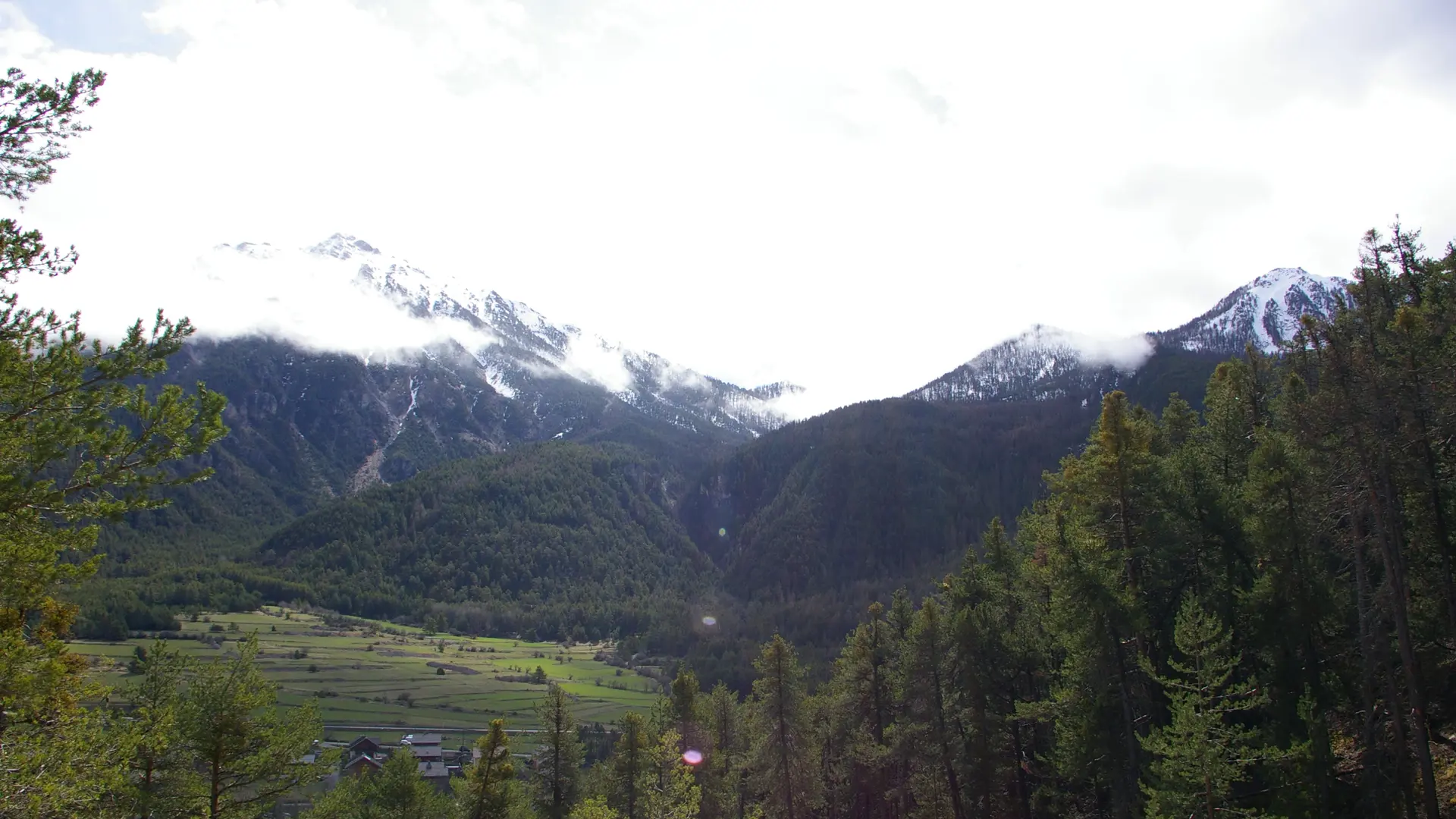
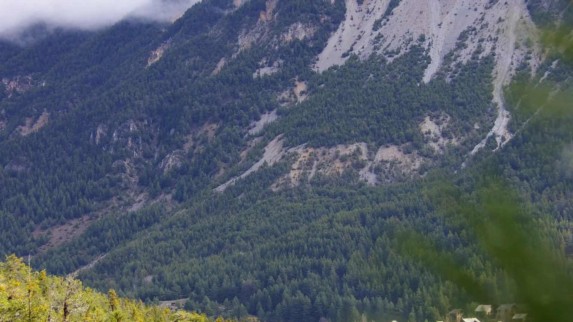
The track runs alongside a small cemetery; stay on this wide main track to fork left (yellow markings indicate "Le Rosier par les balcons de l'Enrouye"). This track bends wide and rises up through the forest until it reaches a scree slope, where it becomes a small footpath (in the scree slope, ignore the forest track on your left).
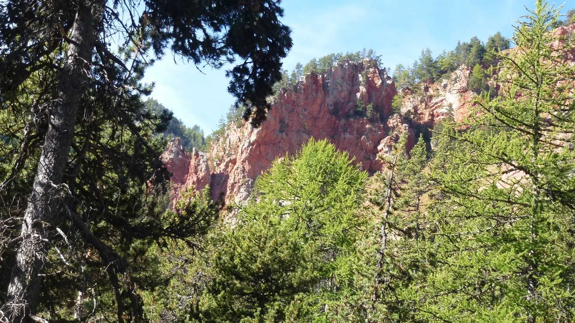
This gradually twists and turns up to the edge of the Enrouye torrent.
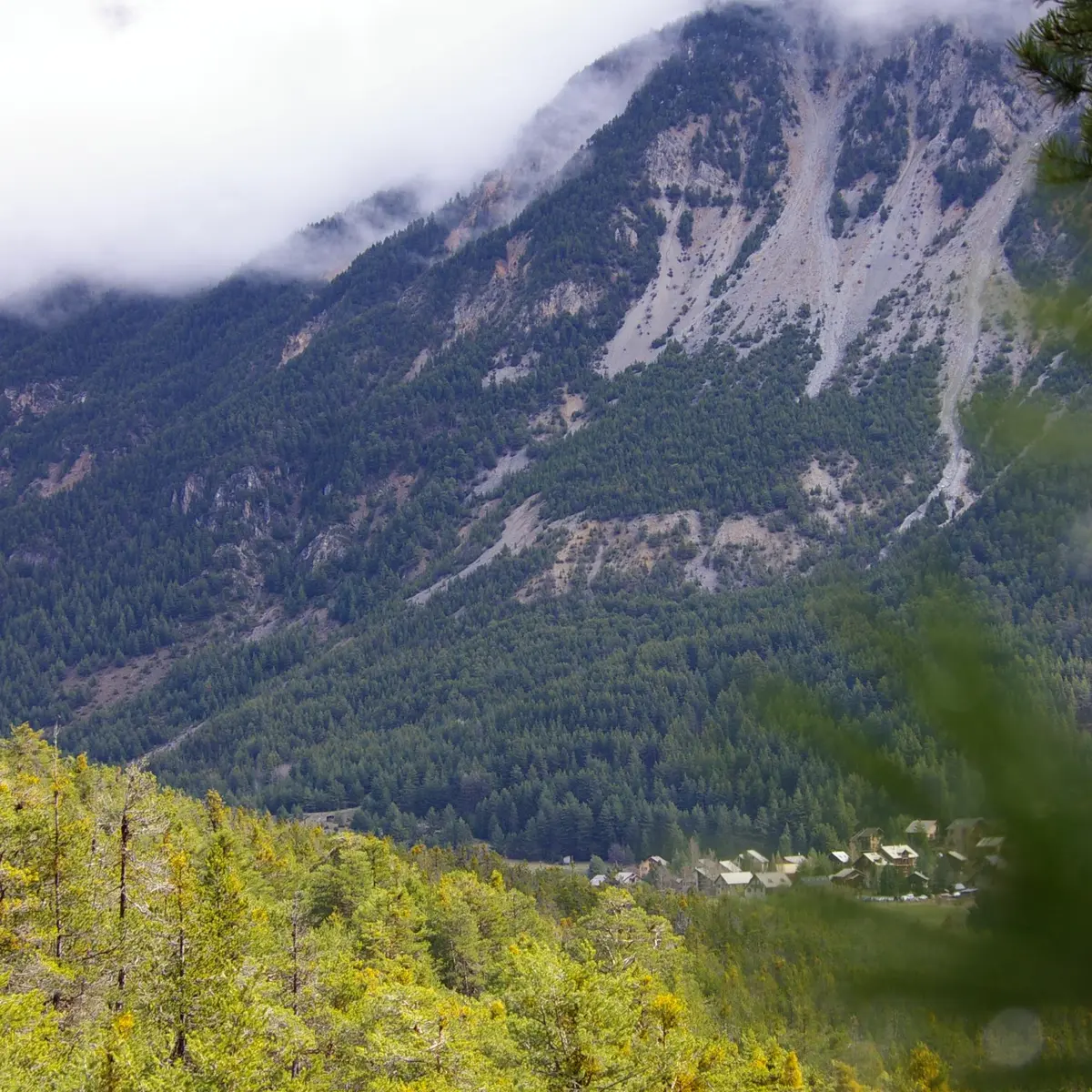
At this point, you need to cross the Enrouye ravine: take care, as the ravine has been severely ravined by heavy rain, the itinerary can be slightly modified to cross the ravine a few metres higher; in this case, be sure to return to the original itinerary once the crossing has been made.
The path continues in balconies through forests and flats, passing a large rock marked HC 21 to finally reach a crossroads:
Ignore the path which continues straight ahead, and leave it by the path on the right which descends towards Val-des-Prés to finally join a wide forest path: continue along this path on the right ("la Vachette par la rive droite" sign) to reach your starting point.
Read more