Itinéraire raquettes Les Cabanes - Le Sauze

Les Cabanes

Sport, Winter sports, Snowshoe itinerary in Le Sauze 1700, Enchastrayes
3.1 km
1h 30min
Medium
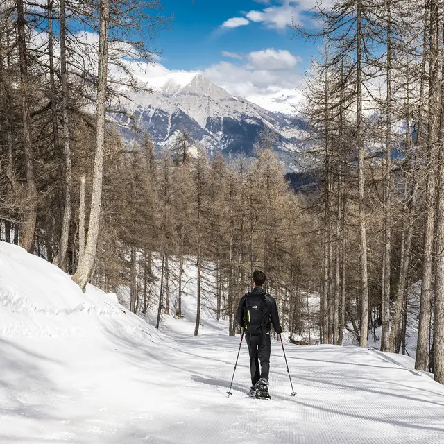
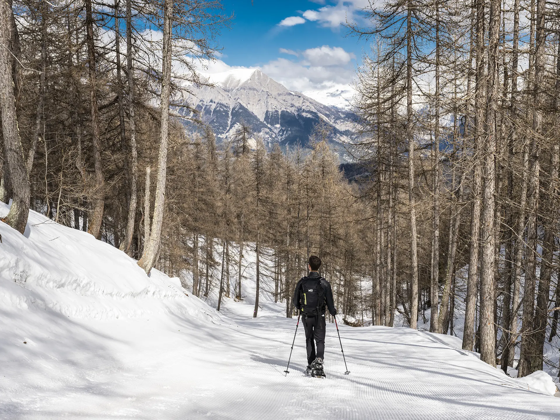
  • This walk is one of the easiest and most unspoilt in Le Sauze; as you walk through the forests and open glades, although just a few metres from the runs, you’ll feel as if you’re in the middle of the mountains.
    If walking with children, opt for the downhill section.

  • Starting point : At Sauze 1700, to the left of the ESF, climb a few steps and cross the piste to the right towards the signpost indicating the start of the walk. Follow the path which will take you past the Pré Guérin ski lift.

    After a kilometre on the flat, a fork in the road on the right points you in the direction of Sauze 1400, where you'll see a small wooden sign saying ‘retour le Sauze’. Halfway down the slope, you will pass the ruins of the Cabanes. Continue to follow the signs...
    Starting point : At Sauze 1700, to the left of the ESF, climb a few steps and cross the piste to the right towards the signpost indicating the start of the walk. Follow the path which will take you past the Pré Guérin ski lift.

    After a kilometre on the flat, a fork in the road on the right points you in the direction of Sauze 1400, where you'll see a small wooden sign saying ‘retour le Sauze’. Halfway down the slope, you will pass the ruins of the Cabanes. Continue to follow the signs along the Cabanes track, which then leads to the Bologne track.

    Do not cross the track, but follow the edge of the track on your left towards the wooden chalet, then keep to the left to reach the foot of the track and cross along the nets to reach the path beside the swimming pool.
  • Departure
    Enchastrayes
  • Difference in height
    38.8393 m
  • Plain text rates
    Free of charge.
  • Plain text period
    From 20/12/2025 to 05/04/2026 daily.

    Subject to snow conditions.
  • Documentation
    GPX / KML files allow you to export the trail of your hike to your GPS (or other navigation tool)
  • Accepted customers
    • Level bue - Medium
39 meters of difference in height
  • Maximum altitude : 1736 m
  • Minimum altitude : 1395 m
  • Total positive elevation : 39 m
  • Total negative elevation : -346 m
  • Max positive elevation : 24 m
  • Min positive elevation : -223 m