Drive from Castellane to the Col des Lèques (7.5km). At the pass, park in the parking lot on the Les Sirènes campsite side. Cross the main road and take the forest track opposite.
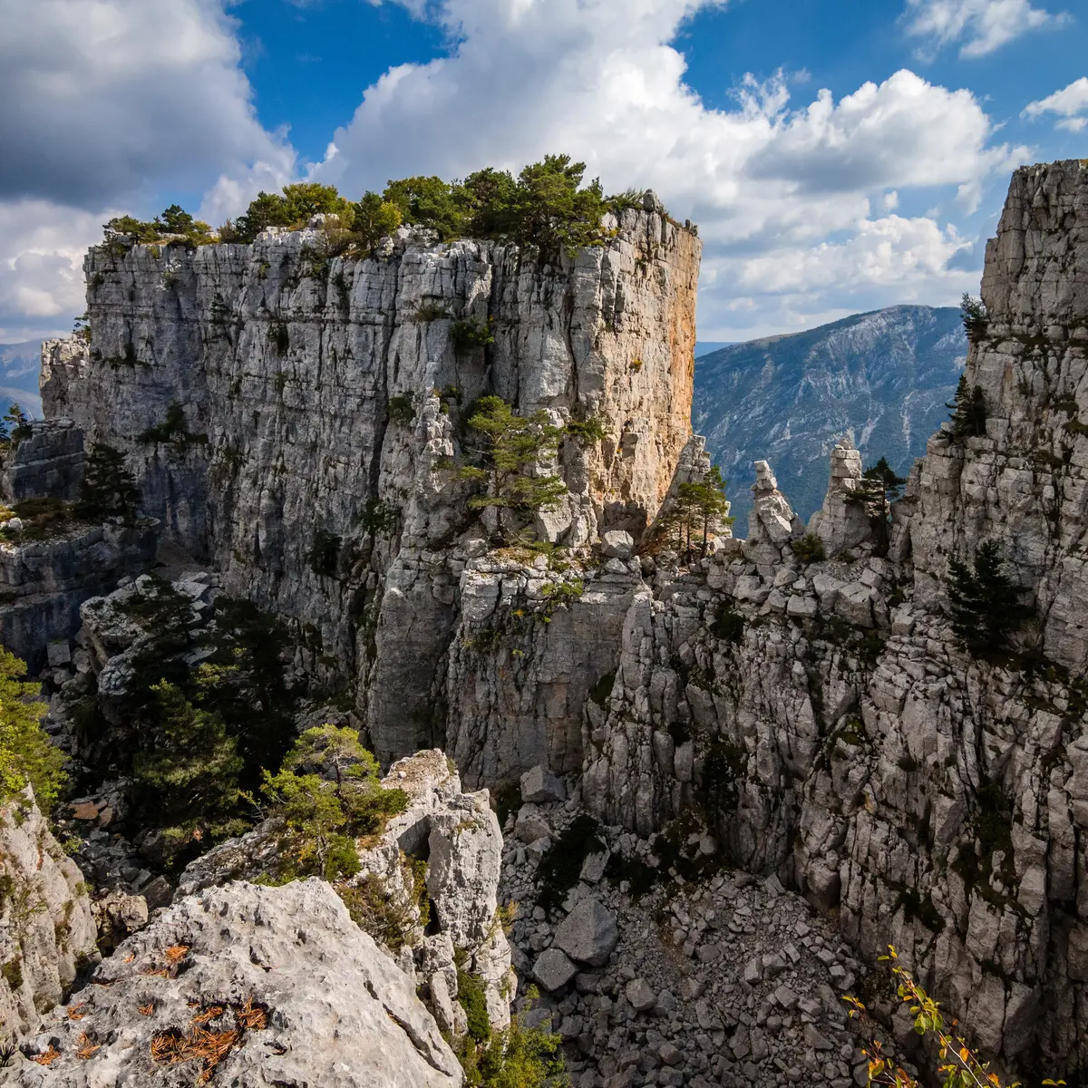
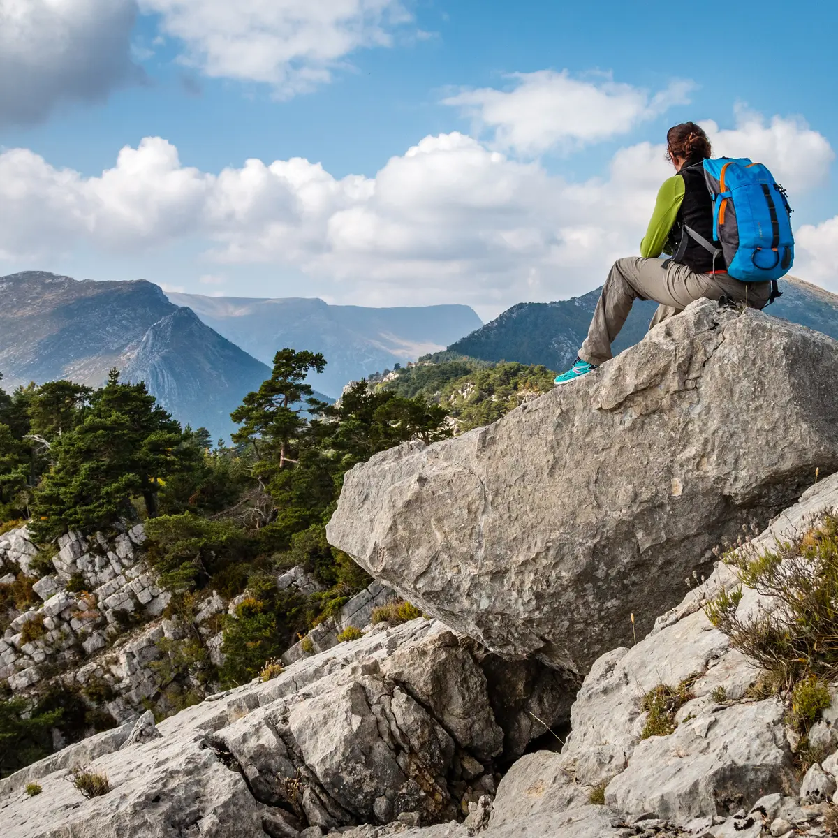
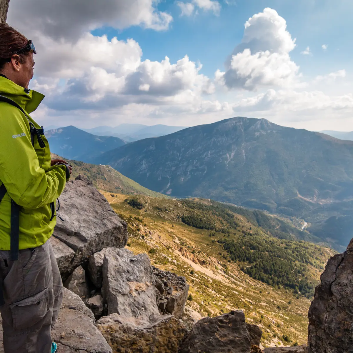
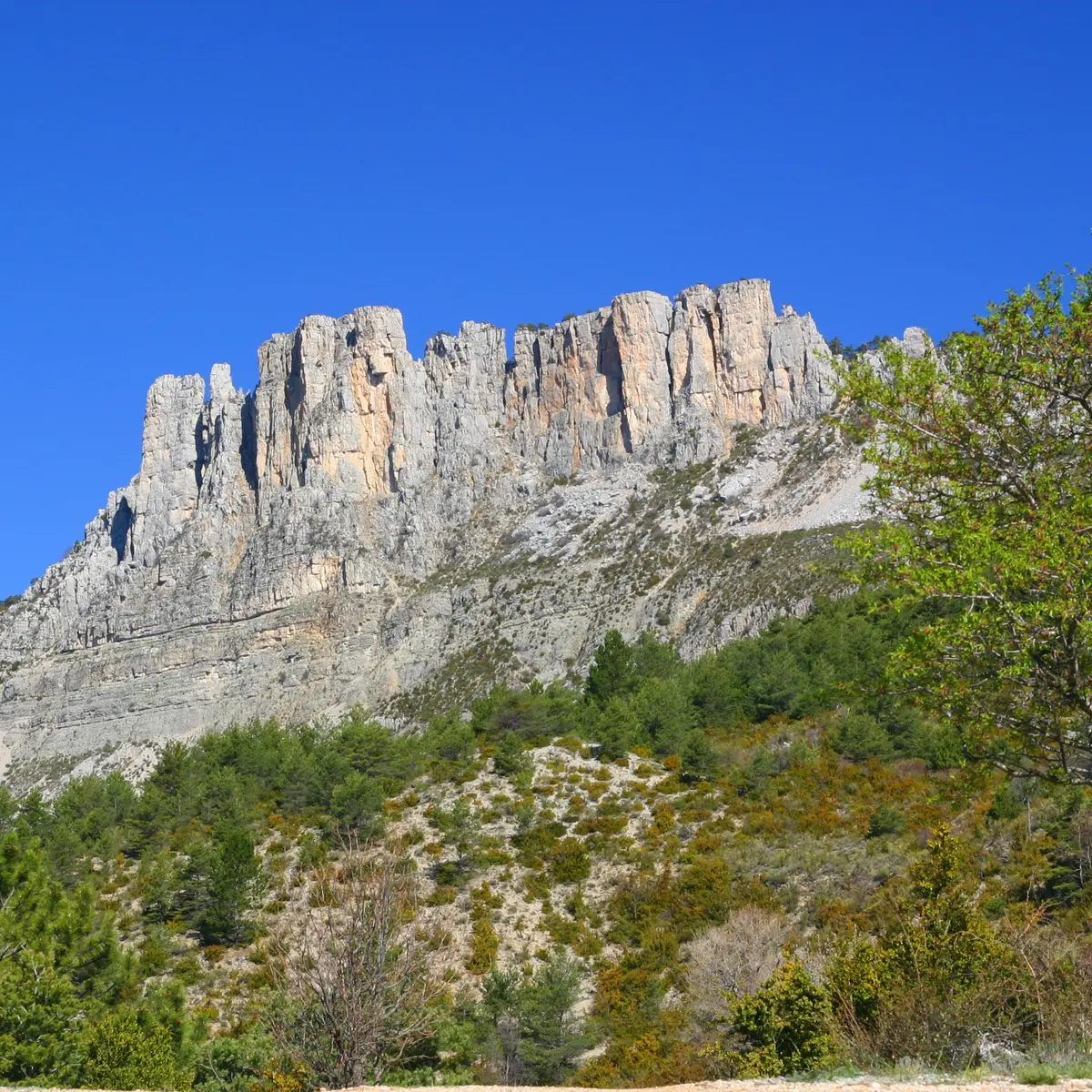
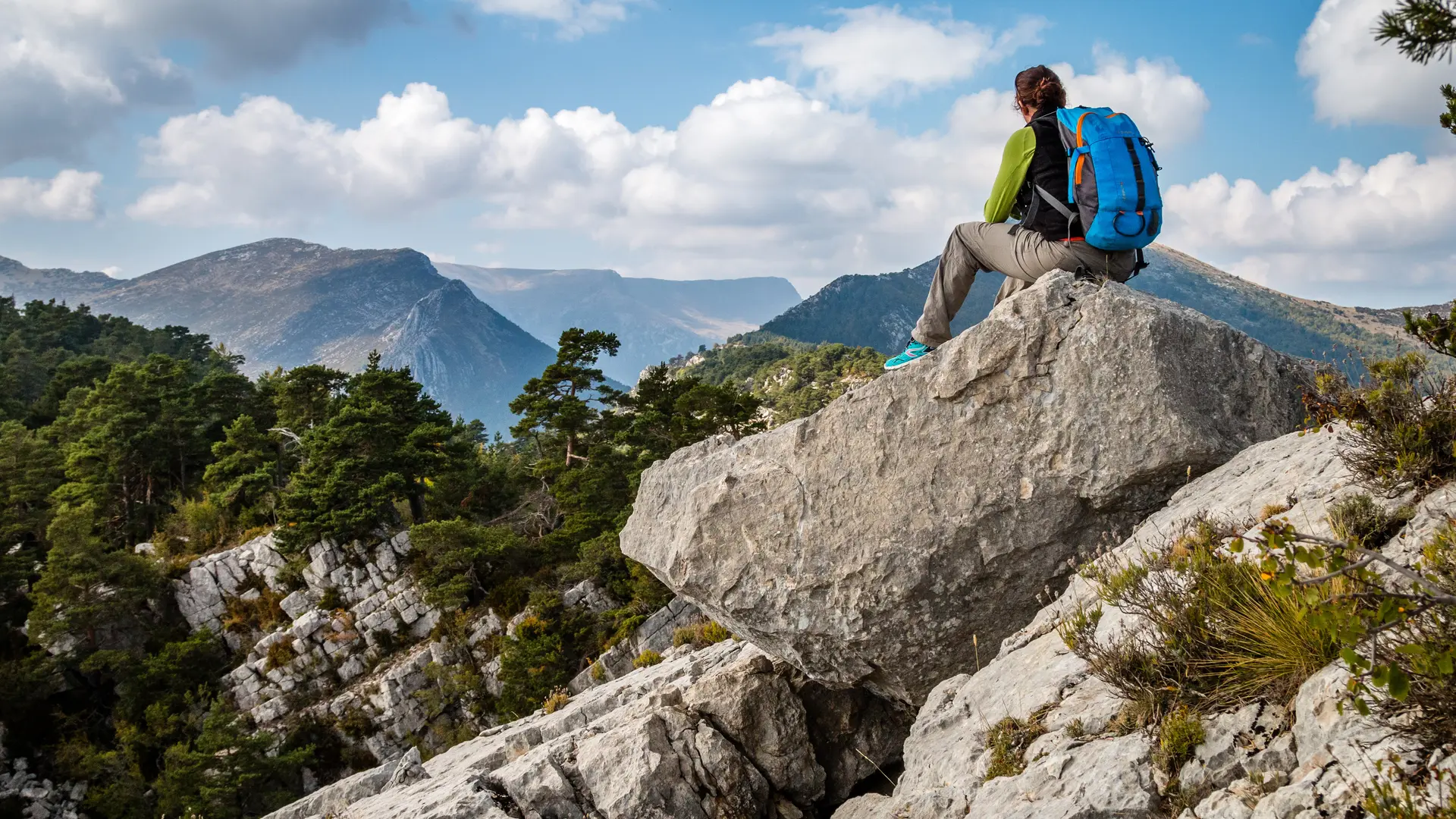
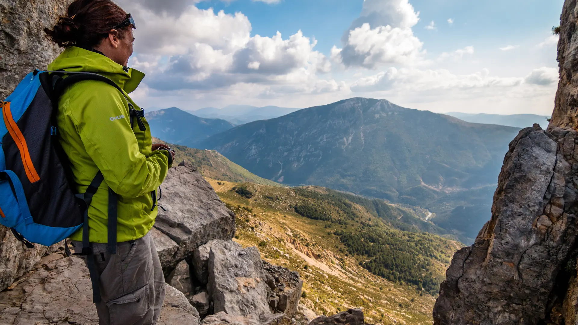
After 700 m, the track crosses the GR406, keep to the left, and continue along the track to the path that runs along the Colle Bernaiche ridge and reaches the pylon. Continue along the path, which crosses the south-facing slope, winding its way up to a wooded ridge.
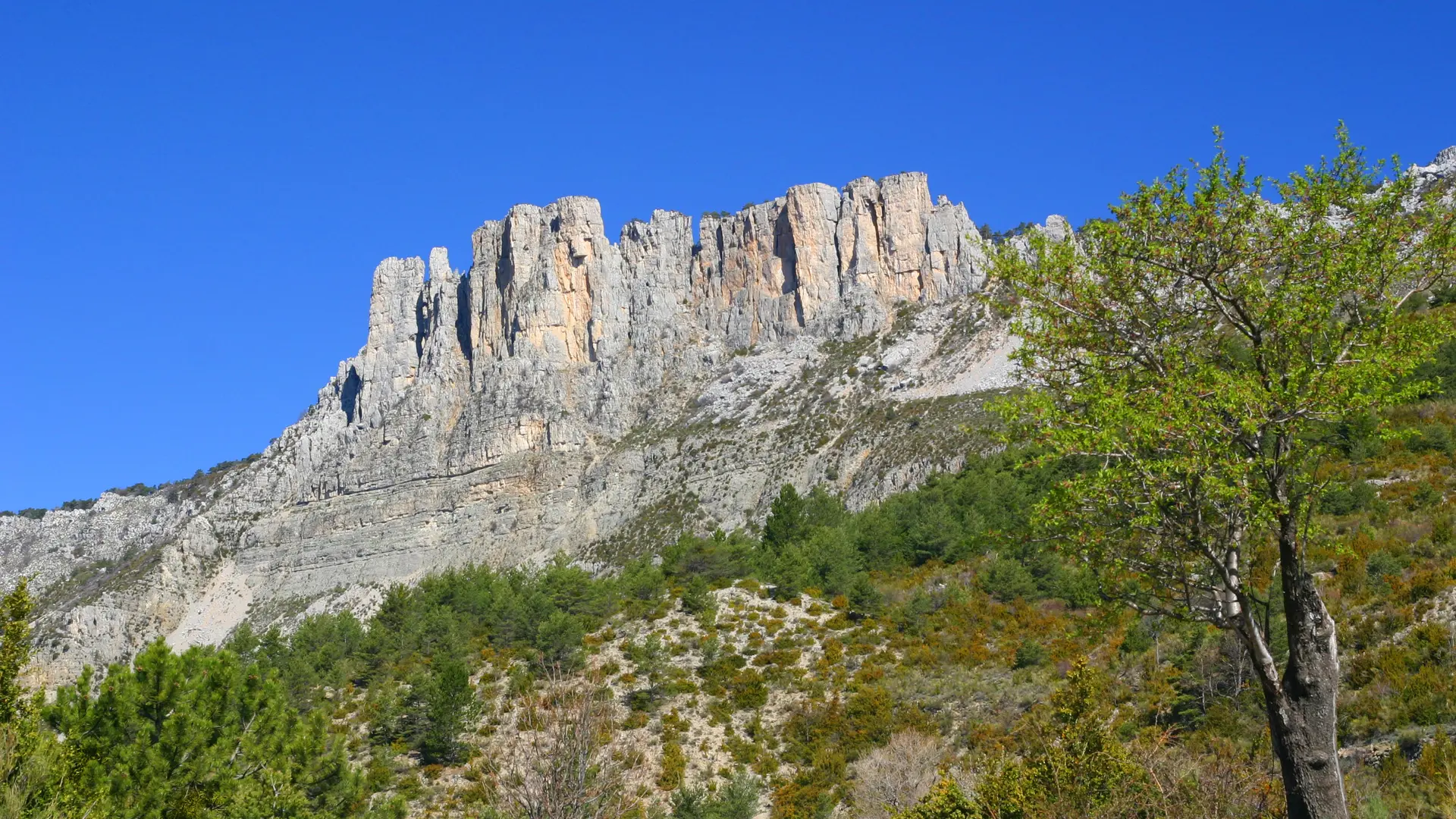
After a succession of ascents and descents, you reach a pine plateau. Cross the plateau on the way down, then turn right to reach a depression. After a steep descent, cross a rocky chaos, then pass under a natural tunnel before descending to the forest. In the undergrowth, the descent is steep at first, then continues across to the right after a crossroads. A little further down, you join a forest track and the GR 406, which takes you back to the Col des Lèques.
Read more