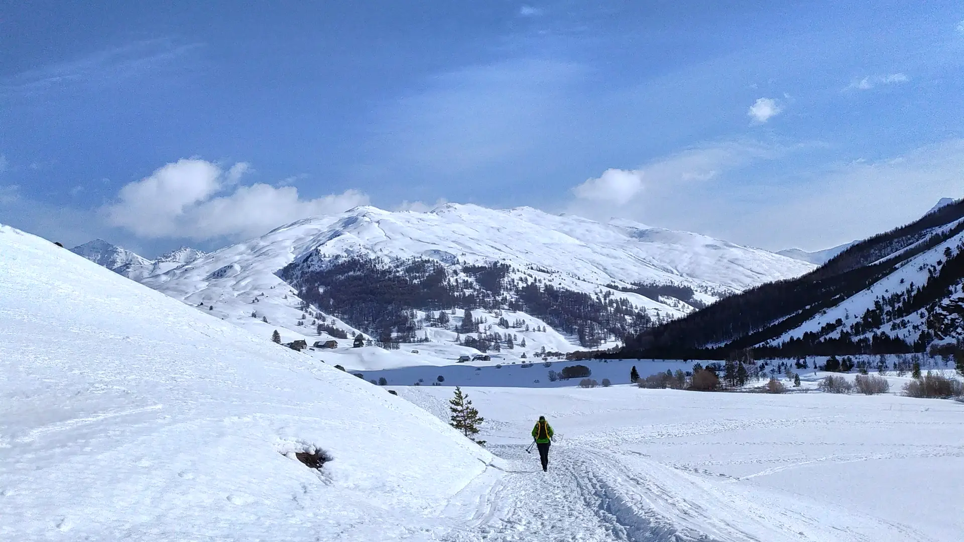
This groomed trail through the vast expanses of the Plateau du Bourget stretches for almost 15 kilometers to Les Fonts de Cervières. Discover an exceptional and timeless site, a hike for lovers of wide open spaces.
Detailed itinerary :
1. From the Foyer de ski de fond parking lot, walk 100m up the road and cross the bridge.
2. Return to the village on the main road. At the top, after the bend, pass the Ferme découverte La Maison des Bêtes à laine and continue straight on.
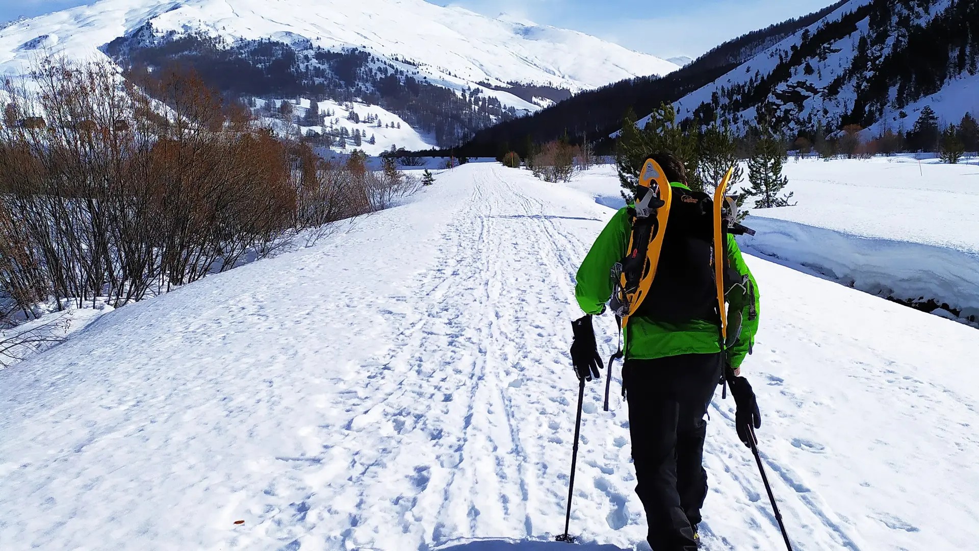
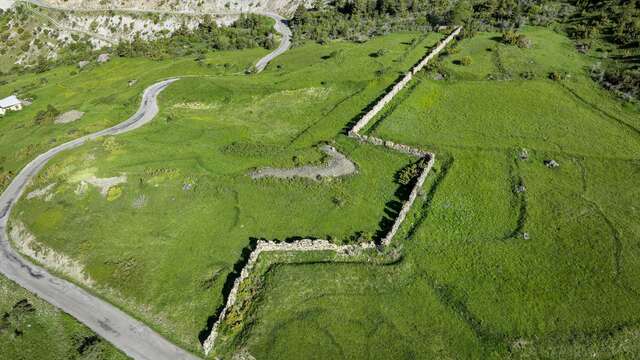
3. Continue along the snow-covered road that serves as a snowshoe itinerary and cross the Mur des Aittes.
4. After the Mur des Aittes, the view opens out onto the vast snow-covered plateau of the Bourget marshes. Continue on the track, which descends slightly and passes close to the hamlet of La Chau. Rejoin the straight that crosses the Bourget marsh.
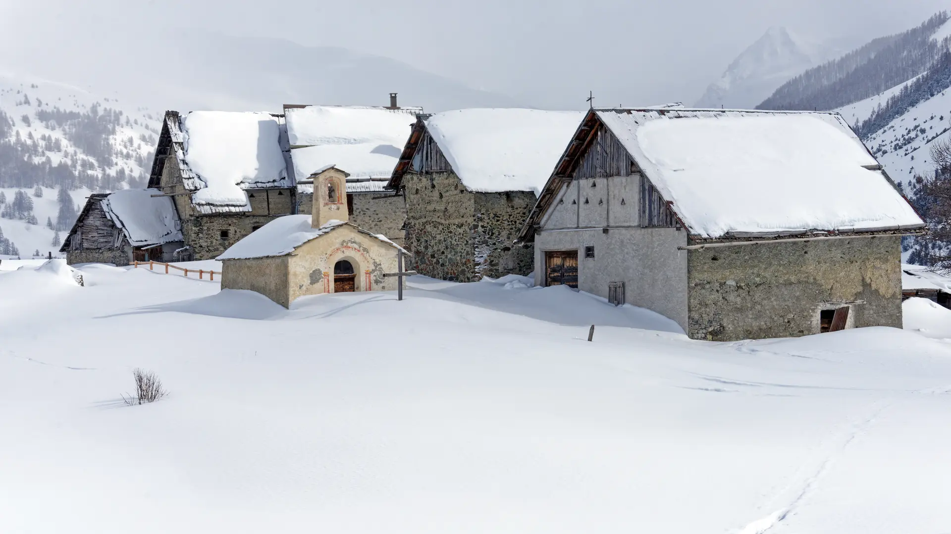
5. Pass the various hamlets on the plain.
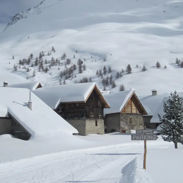
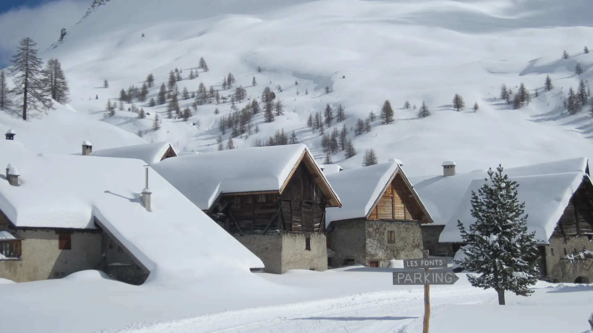
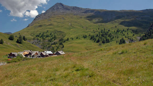
6. Halfway along, the valley narrows. The trail continues for 5 kilometers to the hamlet of Les Fonts de Cervières.
7. Return by the same route.
Please note that this particularly long route requires careful preparation.
- The telephone network is almost non-existent in this part of the valley.
- The Refuge des Fonts de Cervières is not open in winter.
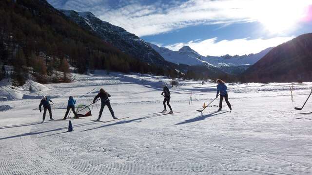
- The village of Cervières has a cross-country ski hostel, where you can rent cross-country skiing equipment (alternating and skating), snowshoes, sealskins for cross-country skiing, sledges... Also tourist information and ski pass sales.
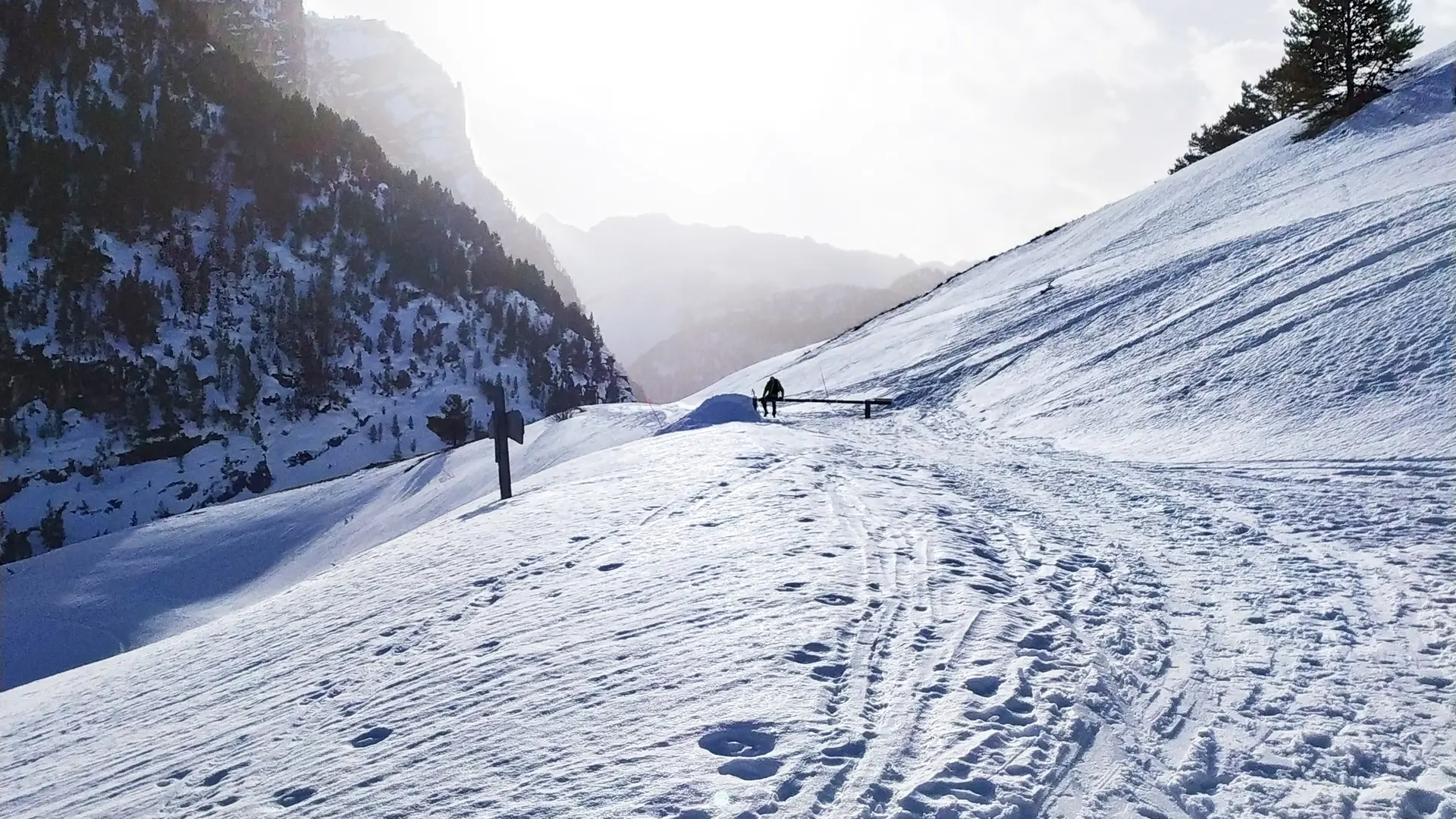
Progressing on snow-covered terrain is much more demanding than in summer, requiring special equipment and a thorough knowledge of mountain hazards.
-Consult the weather forecast bulletin
-Avalanche risk assessment bulletin
-Consult guidebook recommendations
-Make sure you have the right equipment, including avalanche transceivers, shovels and probes.
-Choose an itinerary suited to your physical condition
- Never set off alone.
.