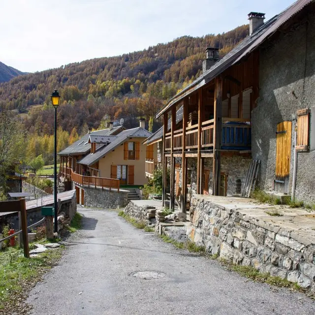
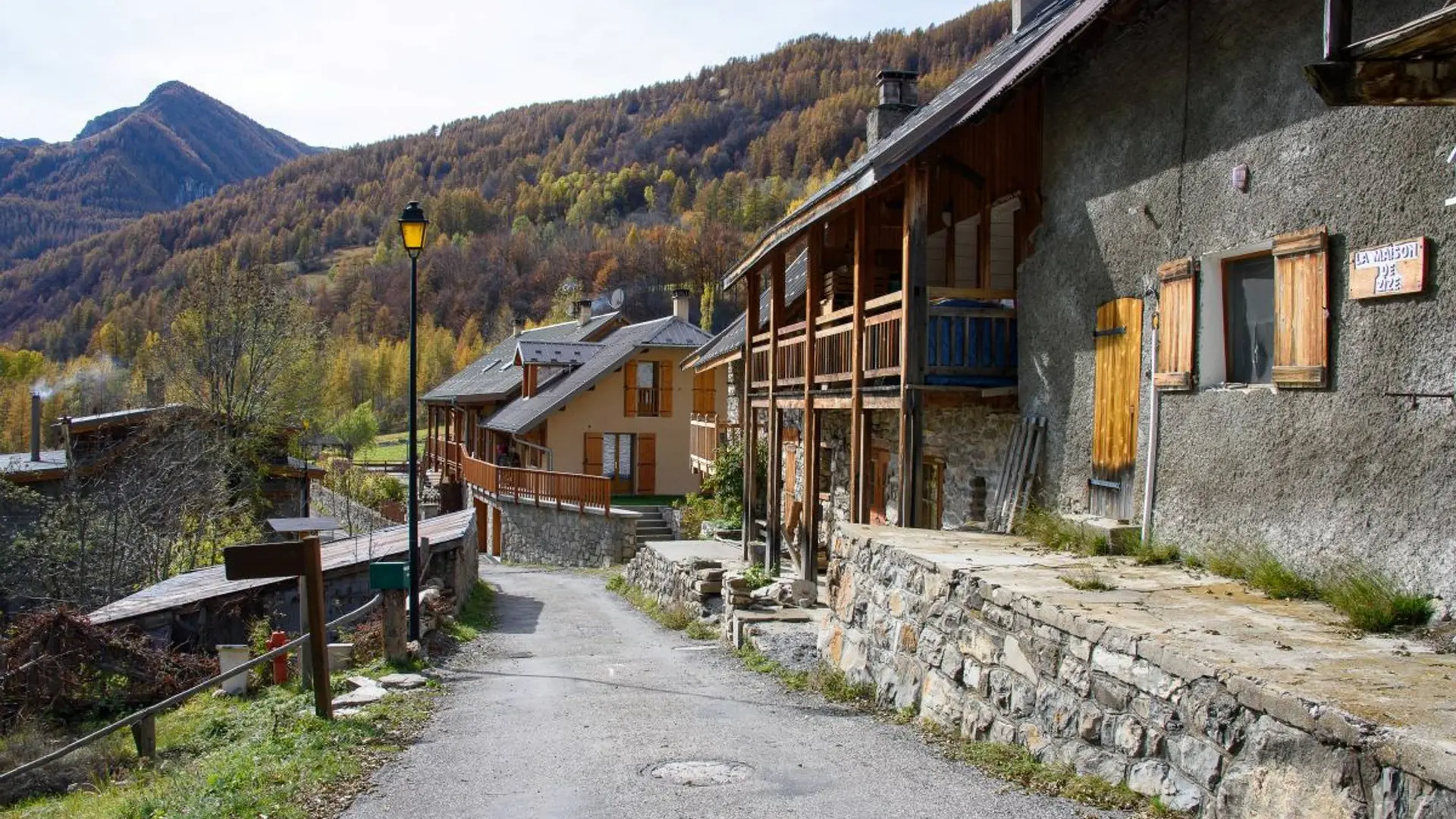
- Voir les favoris
See photos (2)
Les Gourniers discovery path
Sport, Pedestrian sports, Hiking itinerary
in Réallon
2.0
km
-
A discovery path with interpretation tables and botanical labels, around the hamlet of Les Gourniers and its «giant's cauldron».
-
In the car park on the right before the bridge. A panel describes and gives details of the route. Take the stone steps on the right which lead to the path. Go along the roadside until you reach the end of the field and take the uphill path on the left. All along the route, there are interpretation tables offering a description and understanding of the valley's landscapes.
You can continue straight ahead for a there-and-back detour to the foot of the La Pissarotte waterfall (allow 15...In the car park on the right before the bridge. A panel describes and gives details of the route. Take the stone steps on the right which lead to the path. Go along the roadside until you reach the end of the field and take the uphill path on the left. All along the route, there are interpretation tables offering a description and understanding of the valley's landscapes.
You can continue straight ahead for a there-and-back detour to the foot of the La Pissarotte waterfall (allow 15 minutes).
Cross the footbridge over the mountain stream and then head back towards the top end of the hamlet, not forgetting to turn left down to the belvedere that overlooks the giant's cauldron ("Marmite de géant")..
After going past a house, turn left to drop down to the hamlet and back to the car park.
Very easy
- Departure
- Réallon
-
-
Difference in height
- 121.333 m
-
-
-
Departure : Les Gourniers.
Arrival : Les Gourniers.
Road access : From Savines-le-Lac, take the D41 to Réallon, then follow the D241 until you come to the hamlet of Les Gourniers in the valley bottom..
Parking recommended : Car park, Les Gourniers .
- See all reviews
- 121 meters of difference in height
-
- Maximum altitude : 1555 m
- Minimum altitude : 1468 m
- Total positive elevation : 121 m
- Total negative elevation : -138 m
- Max positive elevation : 64 m
- Min positive elevation : -78 m
