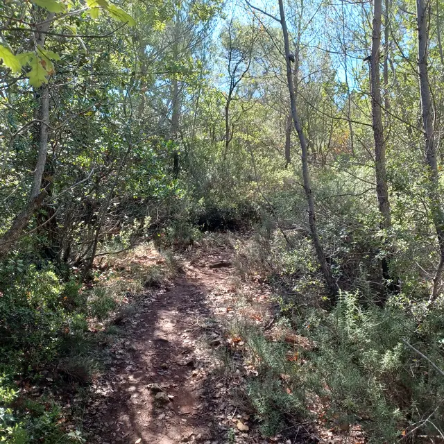
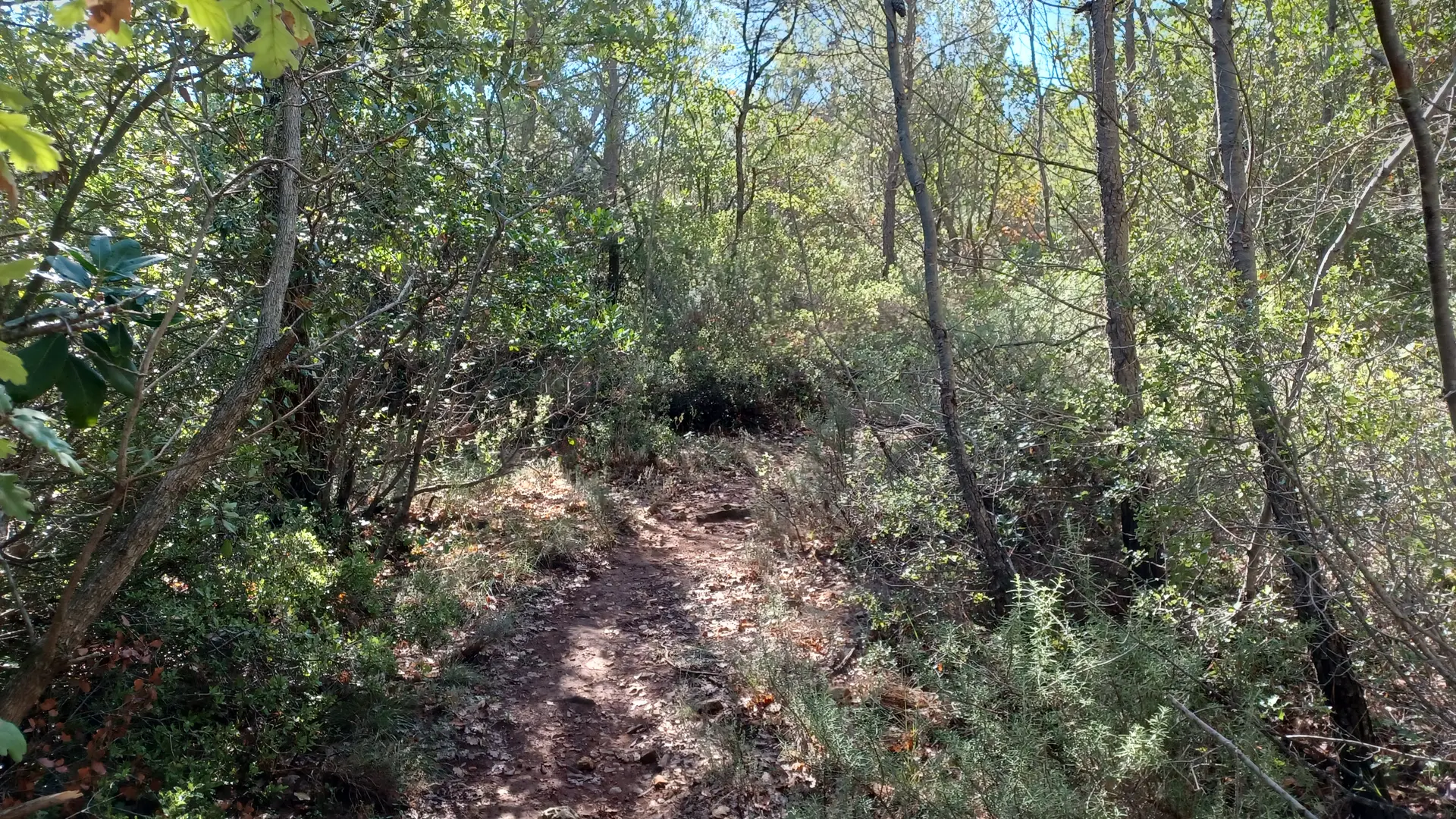
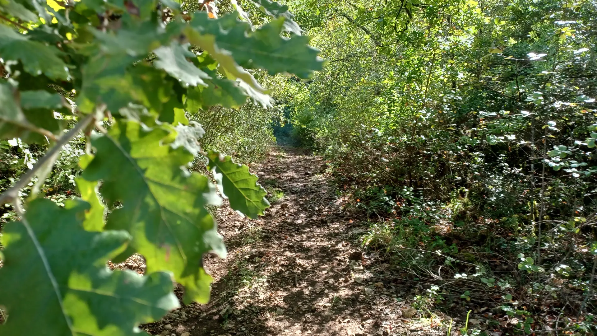
An introductory trail to discover the charms of the surrounding terrain.
A good warm-up for new riders, it can also be used as a loop for more intensive training.
These places are ideal for gaining experience on a route where you can test the various changes of surface. There are no major difficulties, but an increasing number of singles, mostly in the shade. Make the most of these enchanting places, from leisure to training (to be done in a loop).
Read more