A 10.1 km hiking and mountain-biking loop around the Cuers bars to admire the view over the plain and the hills of the Massif des Maures.
PRACTICAL INFORMATION:
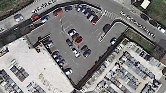
Start from the Cuers cemetery car park.
ROUTE:
From the car park, turn left onto the route de Valcros, pass under the Aqueduc des Cinq-Ponts, then right onto the chemin de Saint-Eutrope, and right again onto the chemin Les Regagnades.
Continue up the winding main road. At the Pérussier crossroads, turn right.
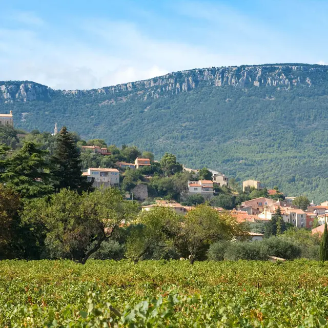
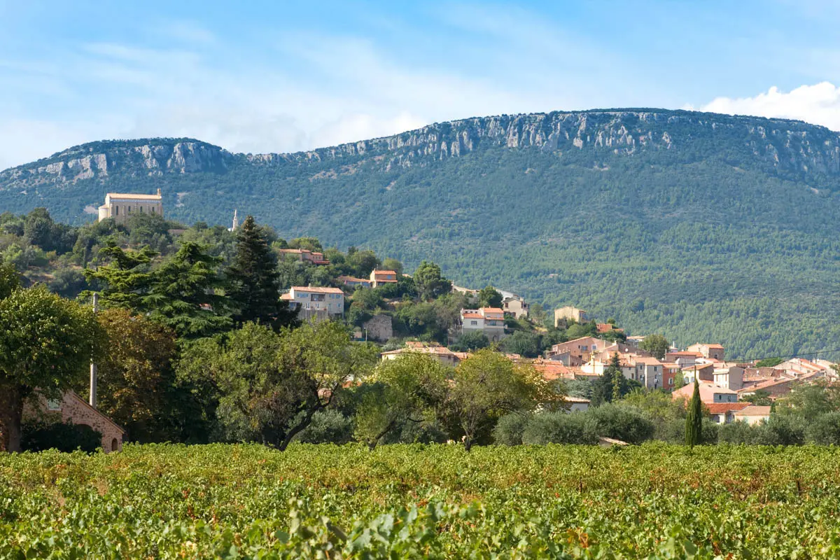
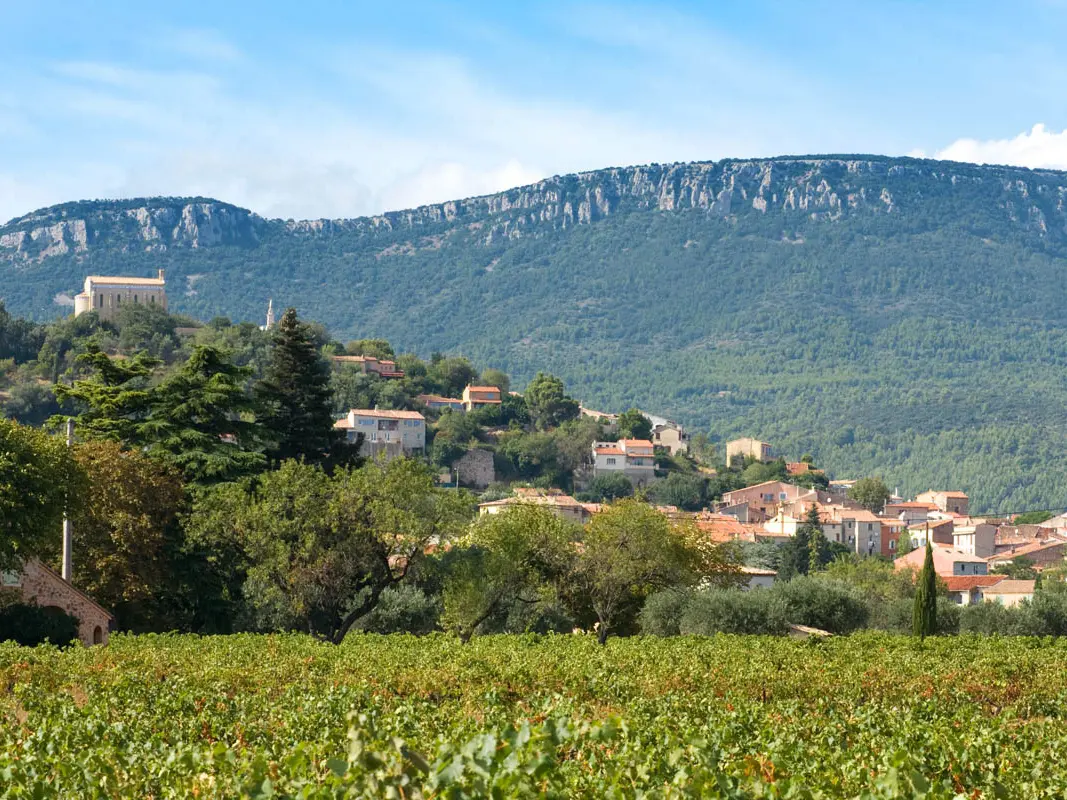
From here you have a panoramic view of the Barres de Cuers.
Reach the crossroads at the cistern. Take the small path on the right in front of the cistern, then go down into the Vallon du Réal.
At the fork, take the path on the left (CR de Belgentier), continue on the road (CR des Veys).
TIME:
- On foot: 3h40
- By bike: 1h30
TIPS AND RECOMMENDATIONS:
- Bring: sun cream and water.
- Always keep up to date with the weather conditions.
- During the hunting season, stay on the marked trails.
- In an emergency, call 112 for help.
- It is forbidden to drive or park motorised vehicles on DFCI roads all year round. From June to September, before driving in the Var mountain ranges, check the opening conditions on the fire risk map (updated at 5pm every day for the following day) or by calling the tourist office.