From Ribes, the life-size playground, you cross the Guil to the other side and enter the mélézin via the track on the left. One hairpin turn to the right. A little further on, a yellow signposted path leads off to the left. Follow it merrily up towards the hamlet of Peynin.
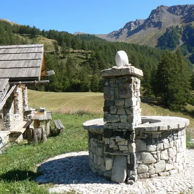
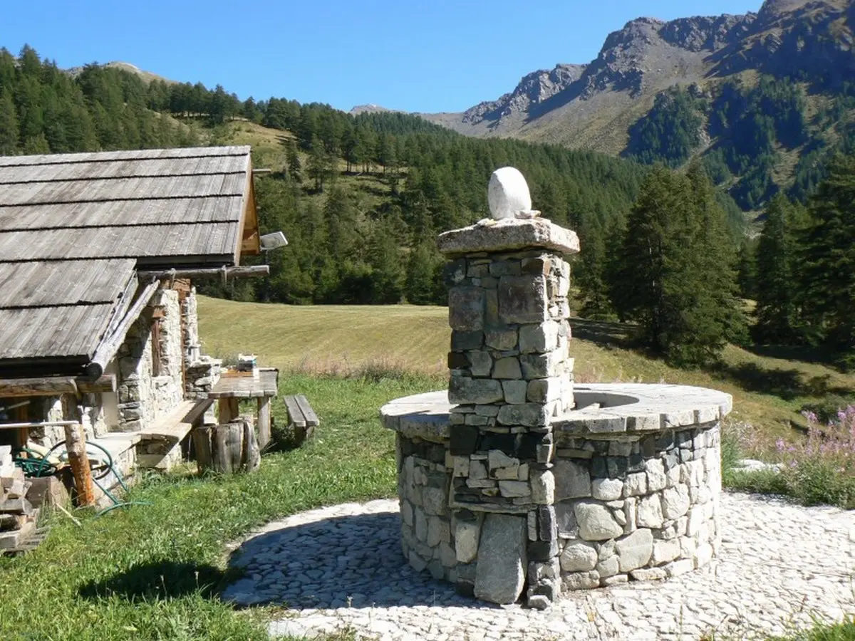
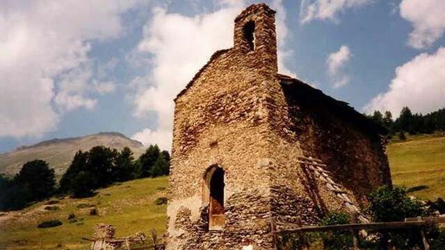
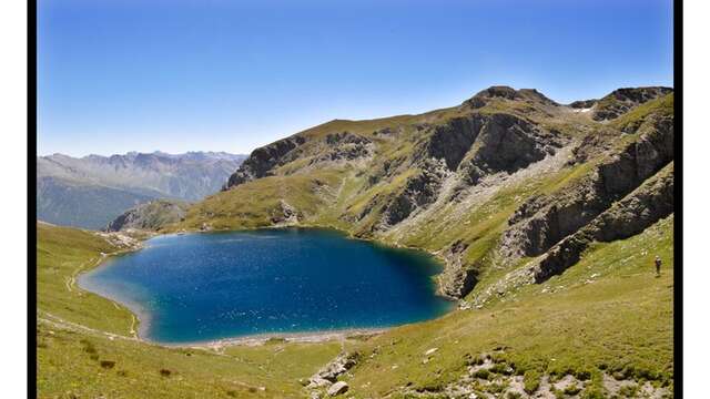
The chalets are still inhabited in summer and, together with the chapel, form a beautiful ensemble that deserves a break. Spring water flows from the fountain, a godsend for filling water bottles. The itinerary takes either the track or the path, turning right. The goal: the summit of the mountain pasture! View of what was once the Aiguilles alpine ski area. On the way back down, take the track on the right. It takes you around the summer cottages before rejoining the uphill path.
In winter, from Pont de Chanterane to Pont de Peyre Bartino, the route is a cross-country ski trail! It is therefore exclusively reserved for cross-country skiing.
In spring and autumn, conditions are changeable, and even without snow, the trail can be icy. So, in the mountains, the reflex to adopt is "go out well-equipped". In my bag, I slip or I hang: crampons and poles.
In winter, the right reflexes are: snowshoes, poles, gloves, hat, sun cream and... a survival blanket! Experience is essential, and knowing when to give up is sometimes preferable to taking risks. And if you're new to the mountains, we advise you to seek professional advice! Before going out, I check the Météo France Montagnes and BERA bulletins (risks and avalanches).
Read more