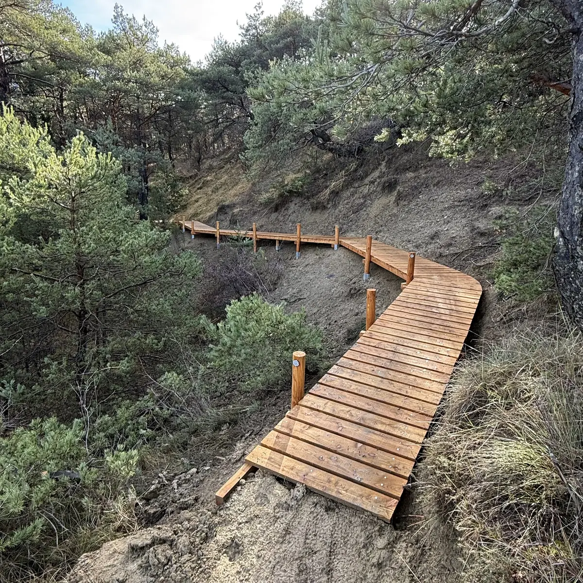
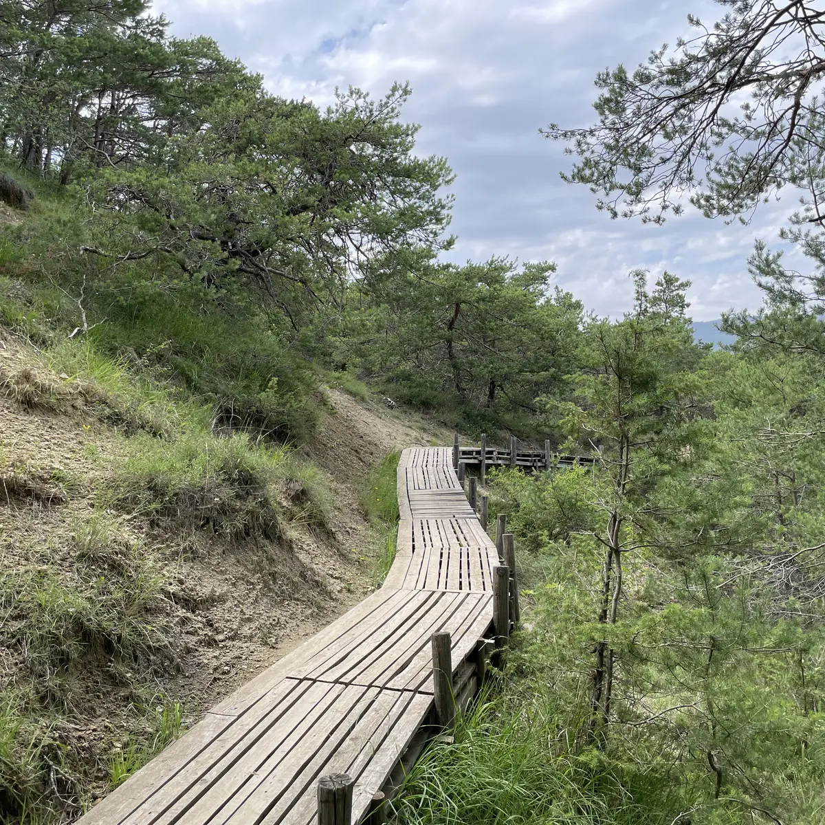
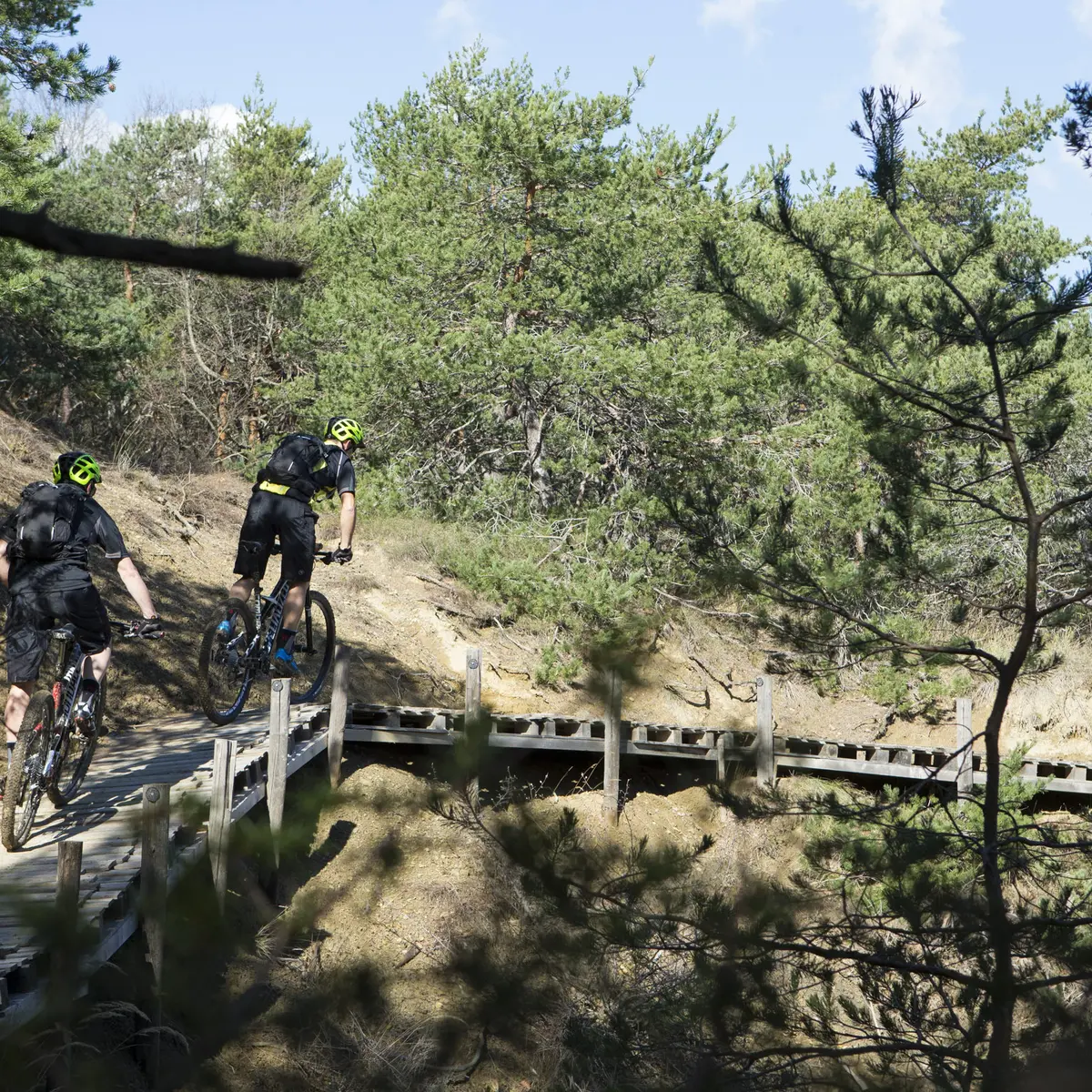
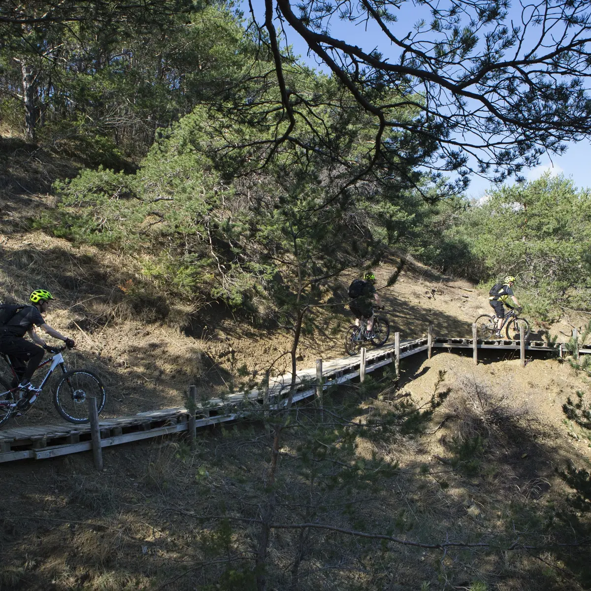
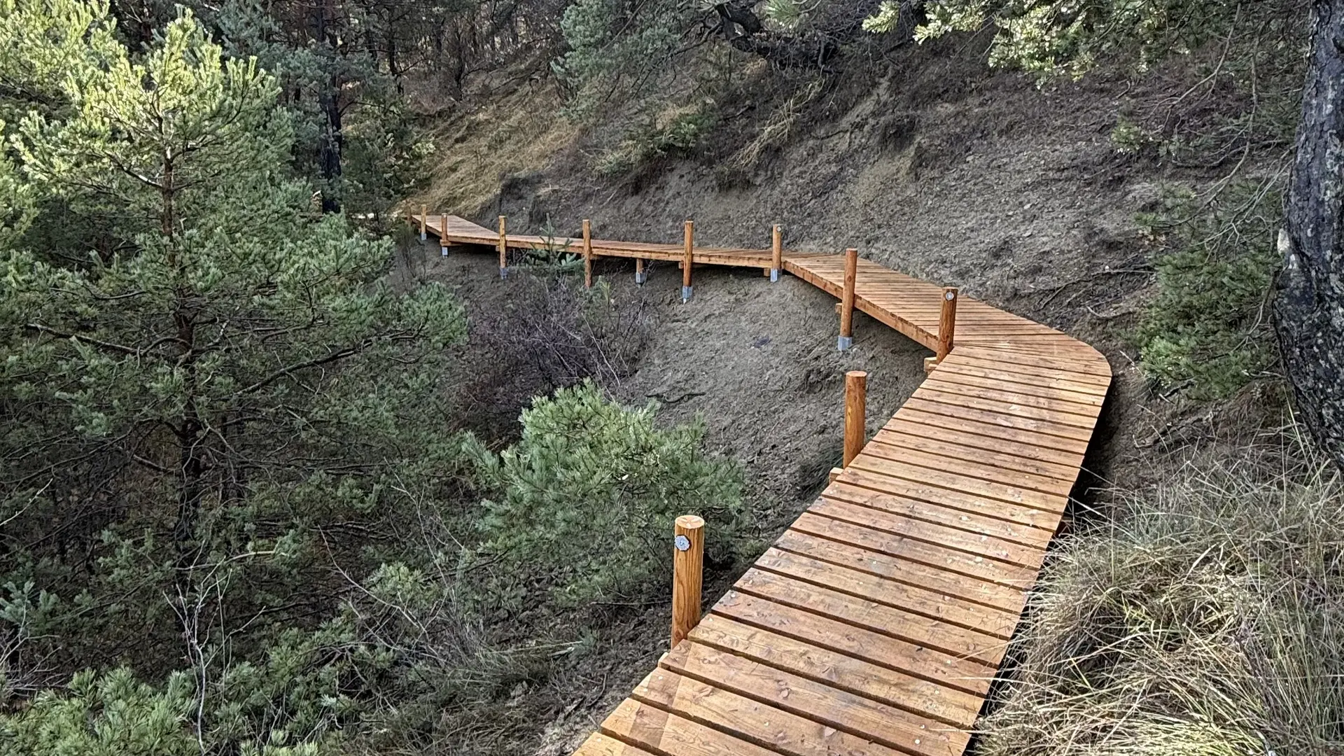
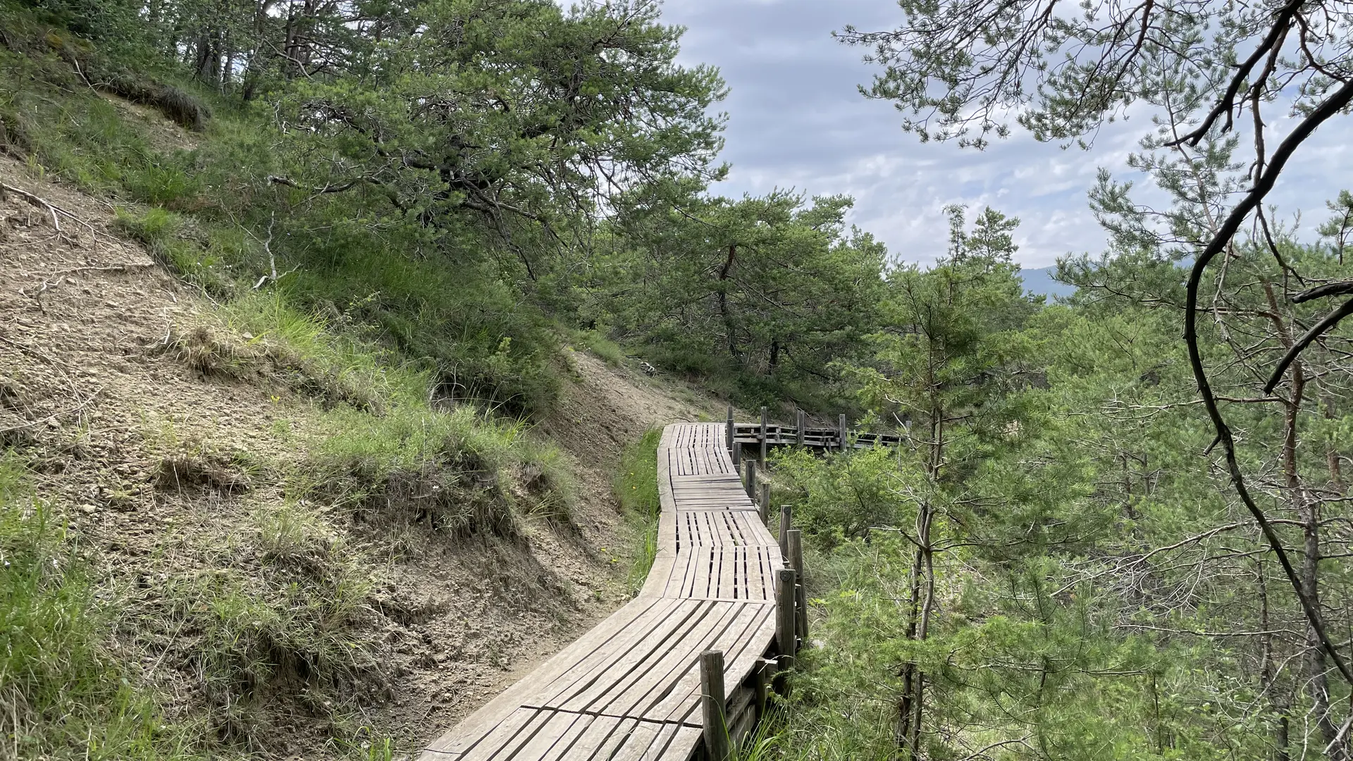
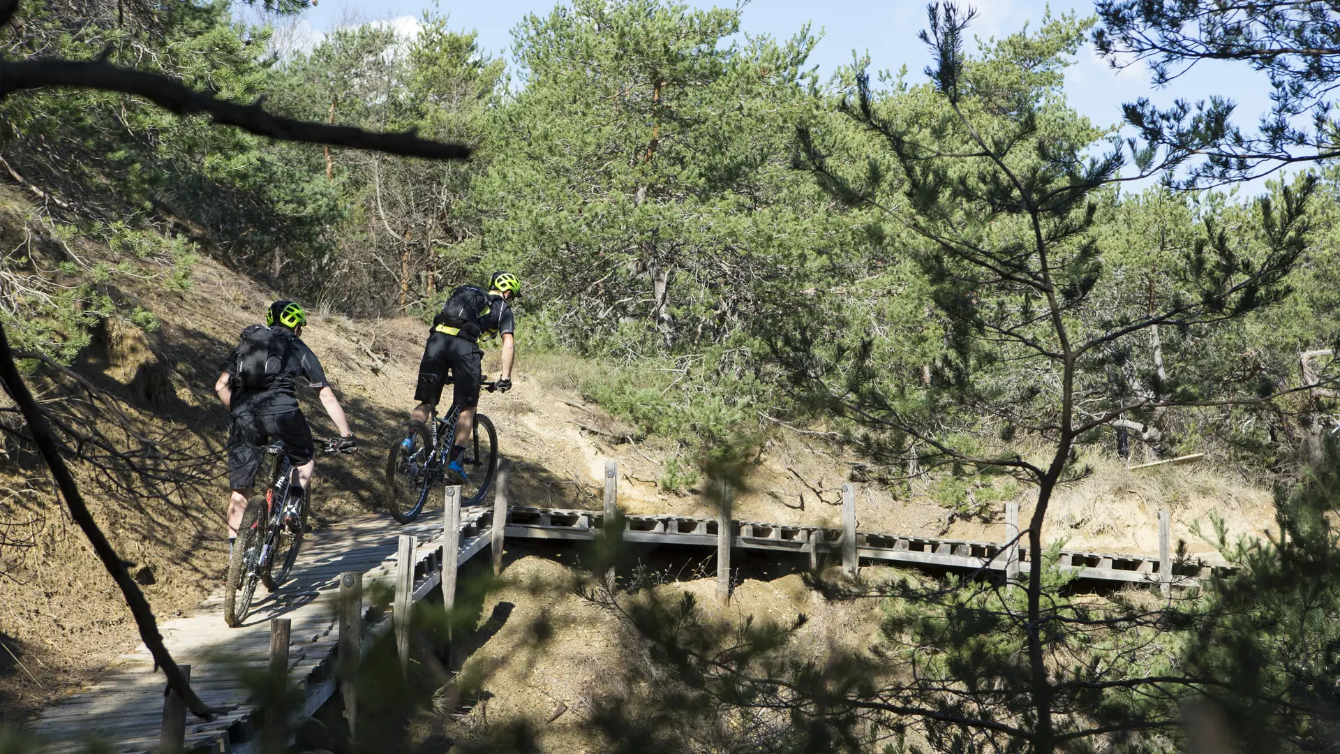
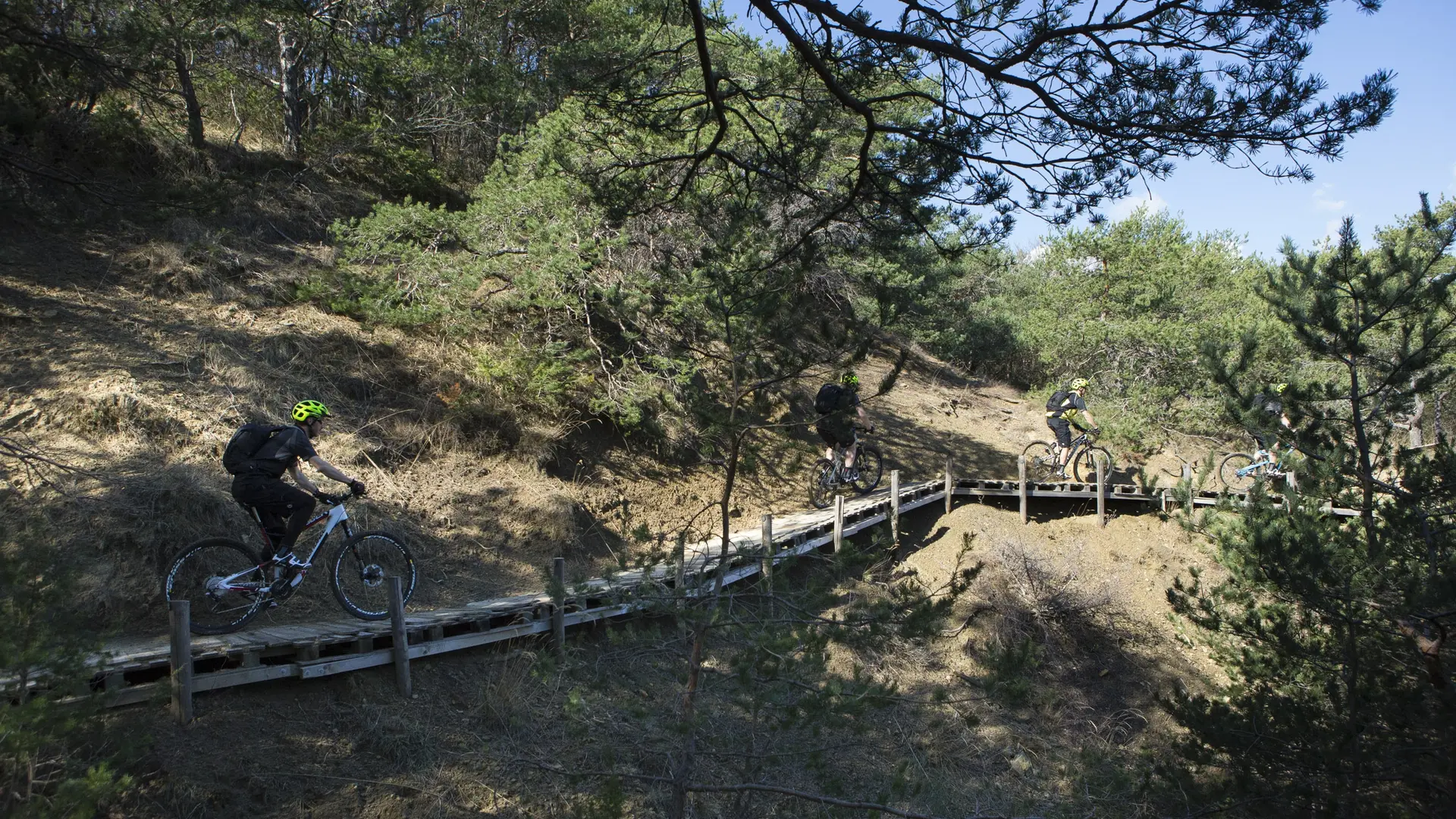
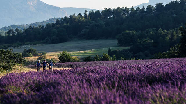
See photos (3)

Liaison VTT - Peyruis - Château-Arnoux

Sport, Cycling sports, Mountain biking itinerary in Peyruis
Unresolved hours
17.6 km
1h 45min
Hard
  • This route allows you to go from Peyruis to Château-Arnoux by a very beautiful path in the middle of nature. It is a very beautiful circuit with some technical difficulties, footbridges, bridges, long pipes, mainly on single-track trails, pure mountain biking!

  • Departure
    Peyruis
  • Difference in height
    410.859 m
  • Environment
    • Forest location
  • Spoken languages
    • French
  • Documentation
    GPX / KML files allow you to export the trail of your hike to your GPS (or other navigation tool)
411 meters of difference in height
Created with Highcharts 6.2.0Distance (km)Altitude (m)0 km1 km2 km3 km4 km5 km6 km7 km8 km9 km10 km11 km12 km13 km14 km15 km16 km17 km400 m425 m450 m475 m500 m525 m550 mHighcharts.com
  • Maximum altitude : 549 m
  • Minimum altitude : 408 m
  • Total positive elevation : 411 m
  • Total negative elevation : -408 m
  • Max positive elevation : 92 m
  • Min positive elevation : -84 m
Services
  • Equipment
    • Free car park
    • Car park