Distance : 42.7km Elevation gain : 1,244 m Elevation loss : 1,191 m Starting point : Cours des Isnards, Malaucène
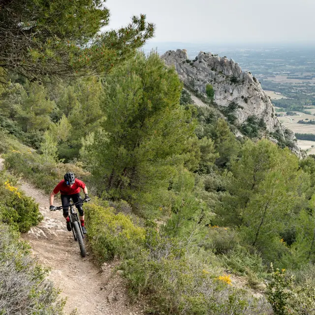
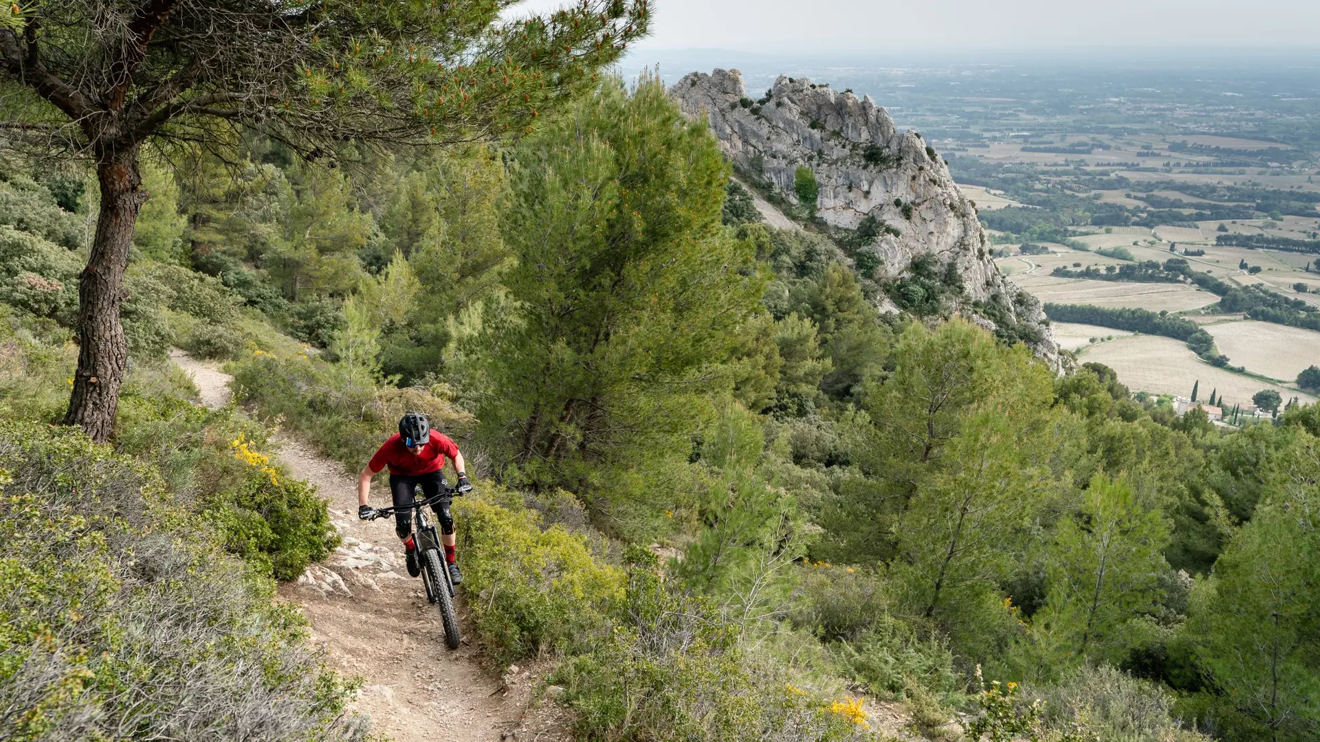
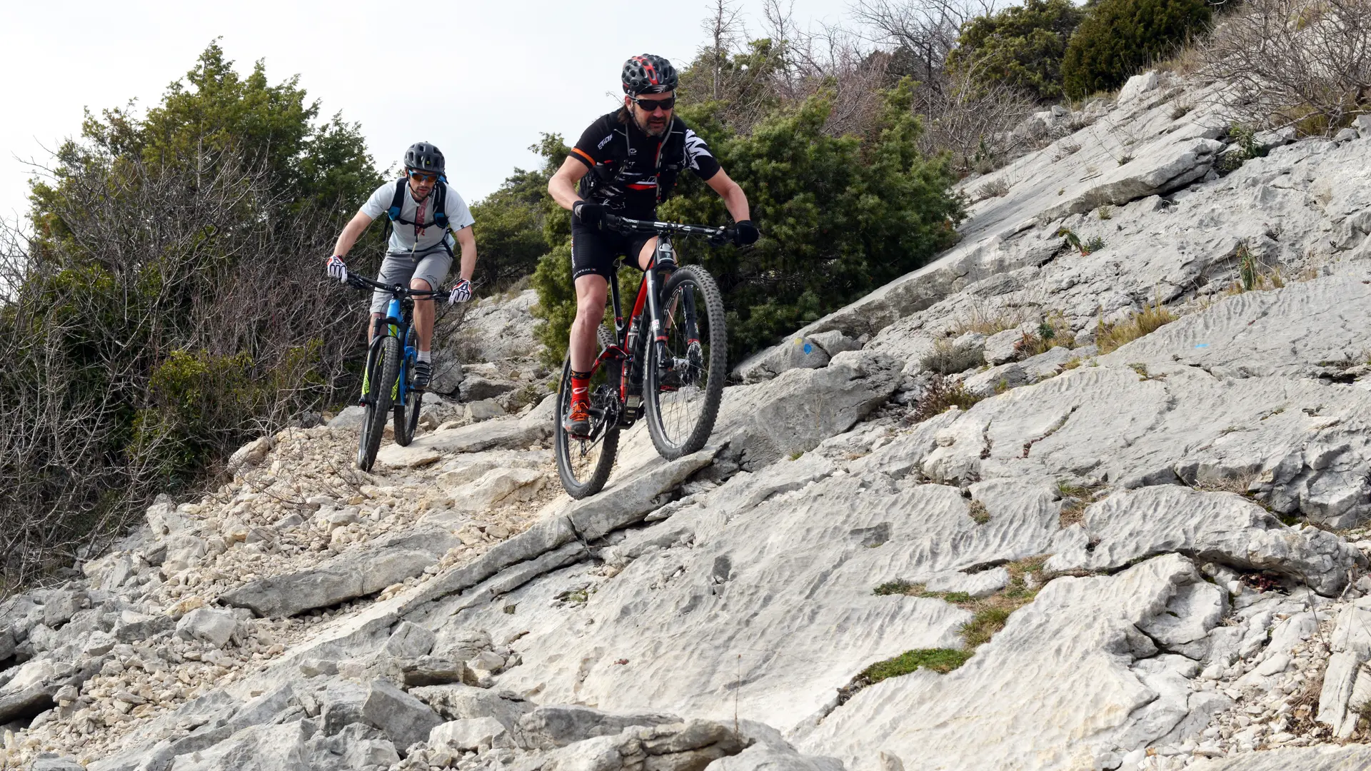
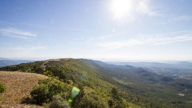
After Malaucène, a town renowned for cycling, and the northern gateway to Mont Ventoux, you’ll head towards the Dentelles de Montmirail region. After a long climb up the cirque and the crête du Saint Amand (615 m), you’ll be rewarded with a clear view of the famous chalky ridges of the Dentelles de Monmirail. The remainder of the trail to Lafare, is downhill, through the village of Suzette, and a landscape of pine trees and vineyards.The section after Lafare, which is very hilly, is one of the most physically demanding on this trail. You’ll pass through a succession of hilltop villages, such as La Roque-Alric and Le Barroux, towards Le Lac du Paty and surrounding area, following a series of beautiful single-track paths. However, during the next section – a pretty trail leading to la Madeleine mountain pass (448 m) – you’ll be able to catch your breath a little. Next, you pass through the amazing ochre landscapes of Font du Loup, before wending your way gently back to Bedoin, the southern gateway to the mythical Mont Ventoux.