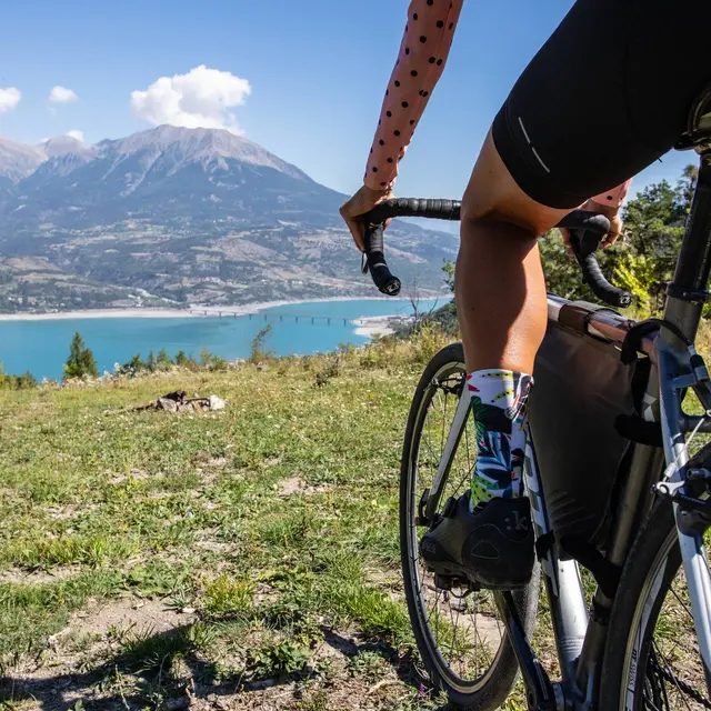
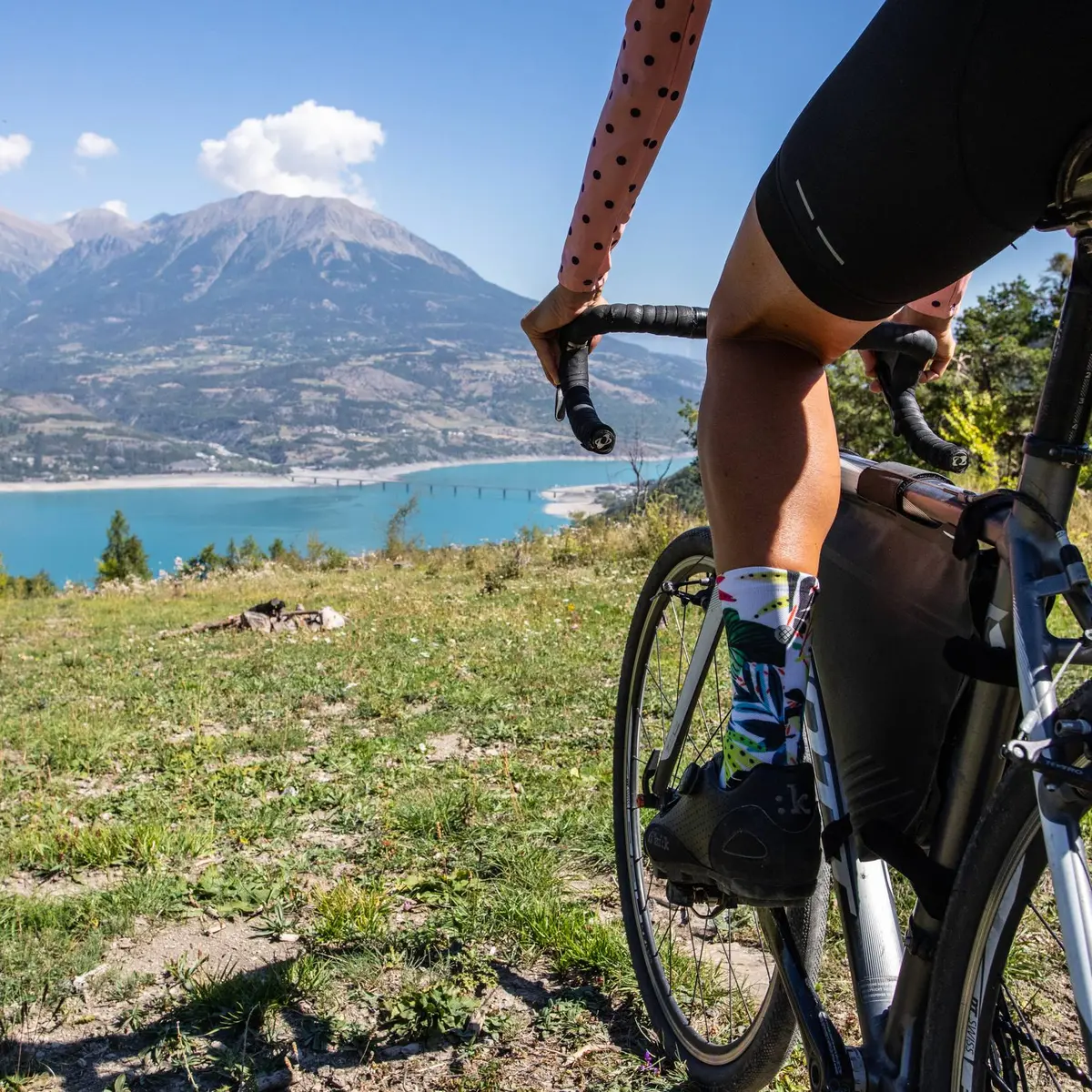
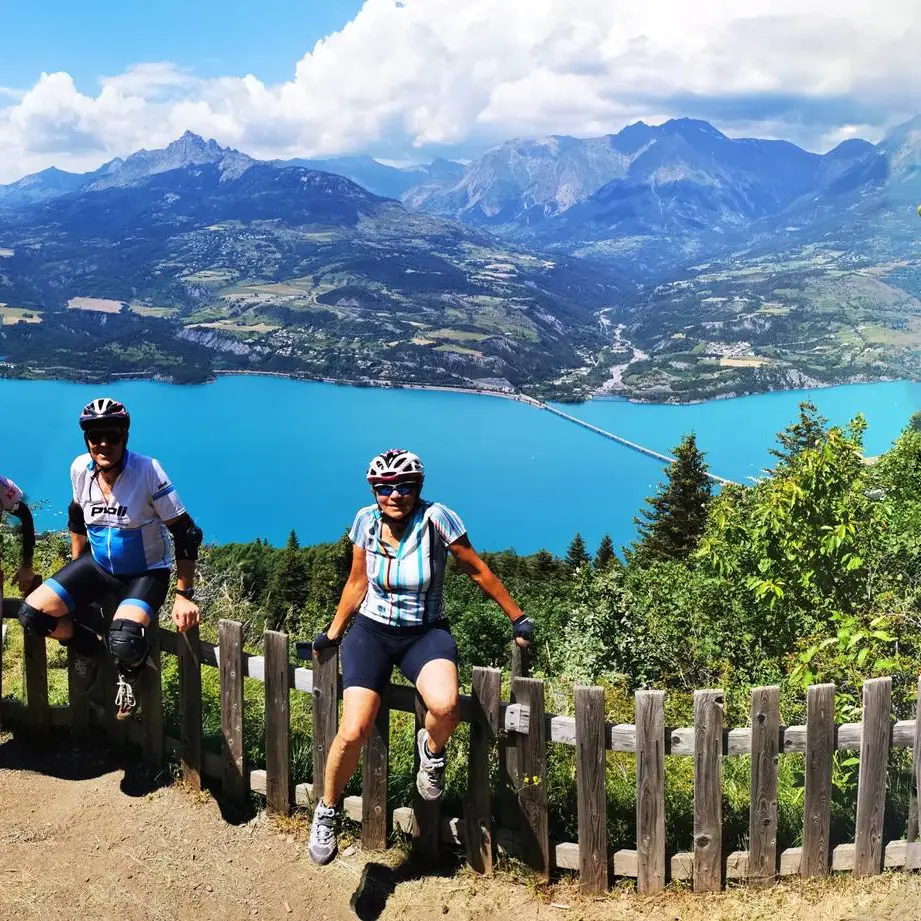
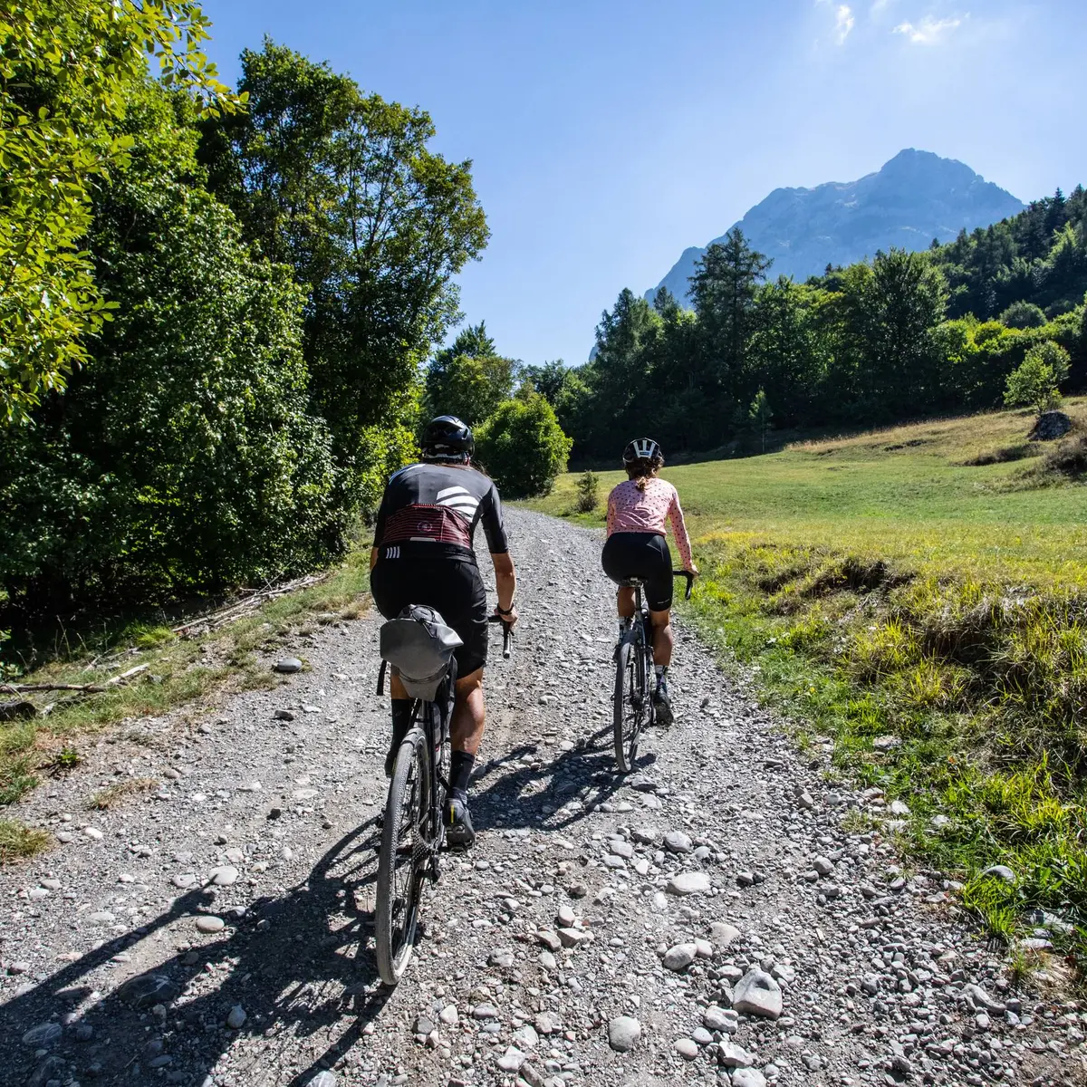
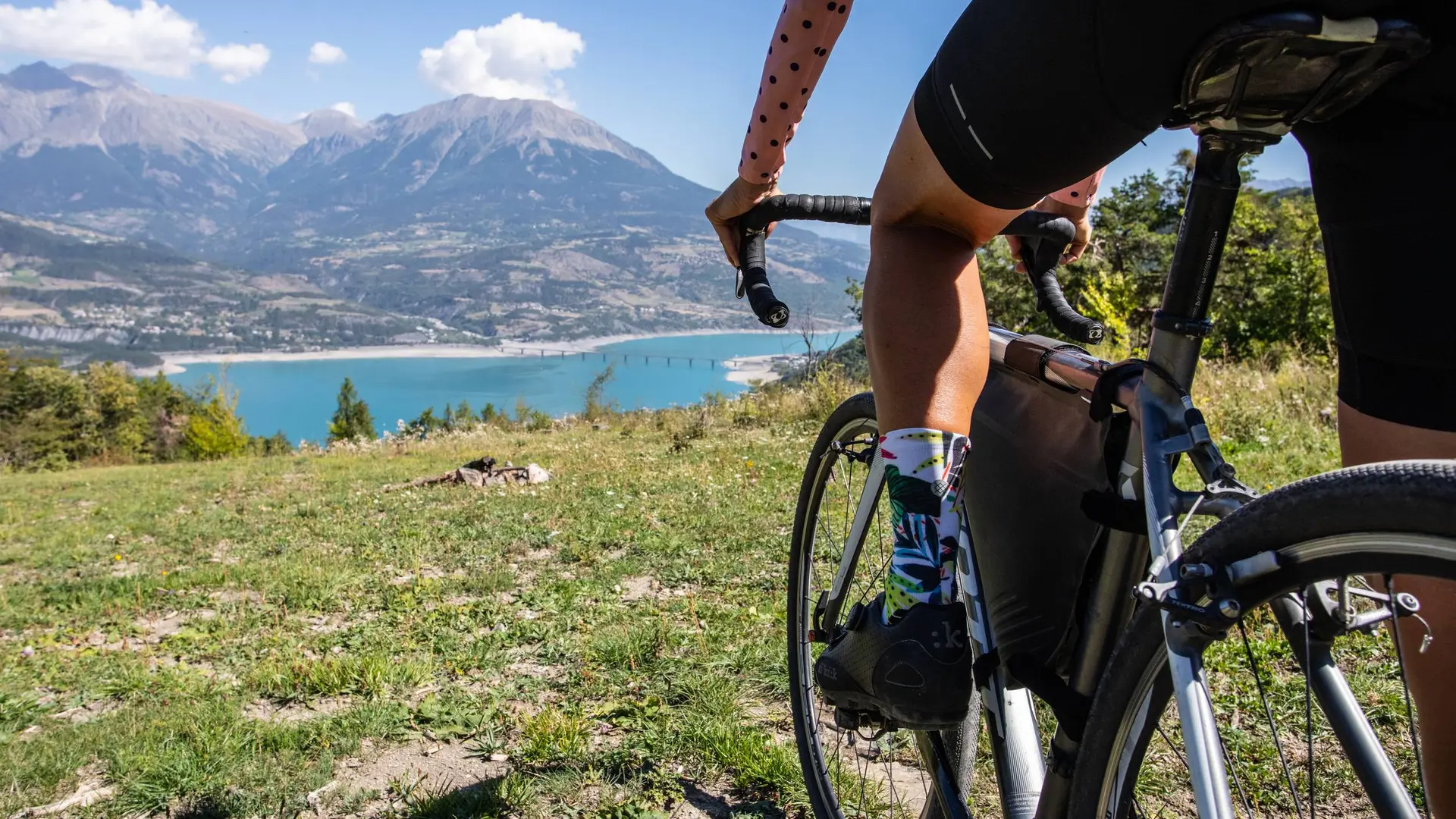
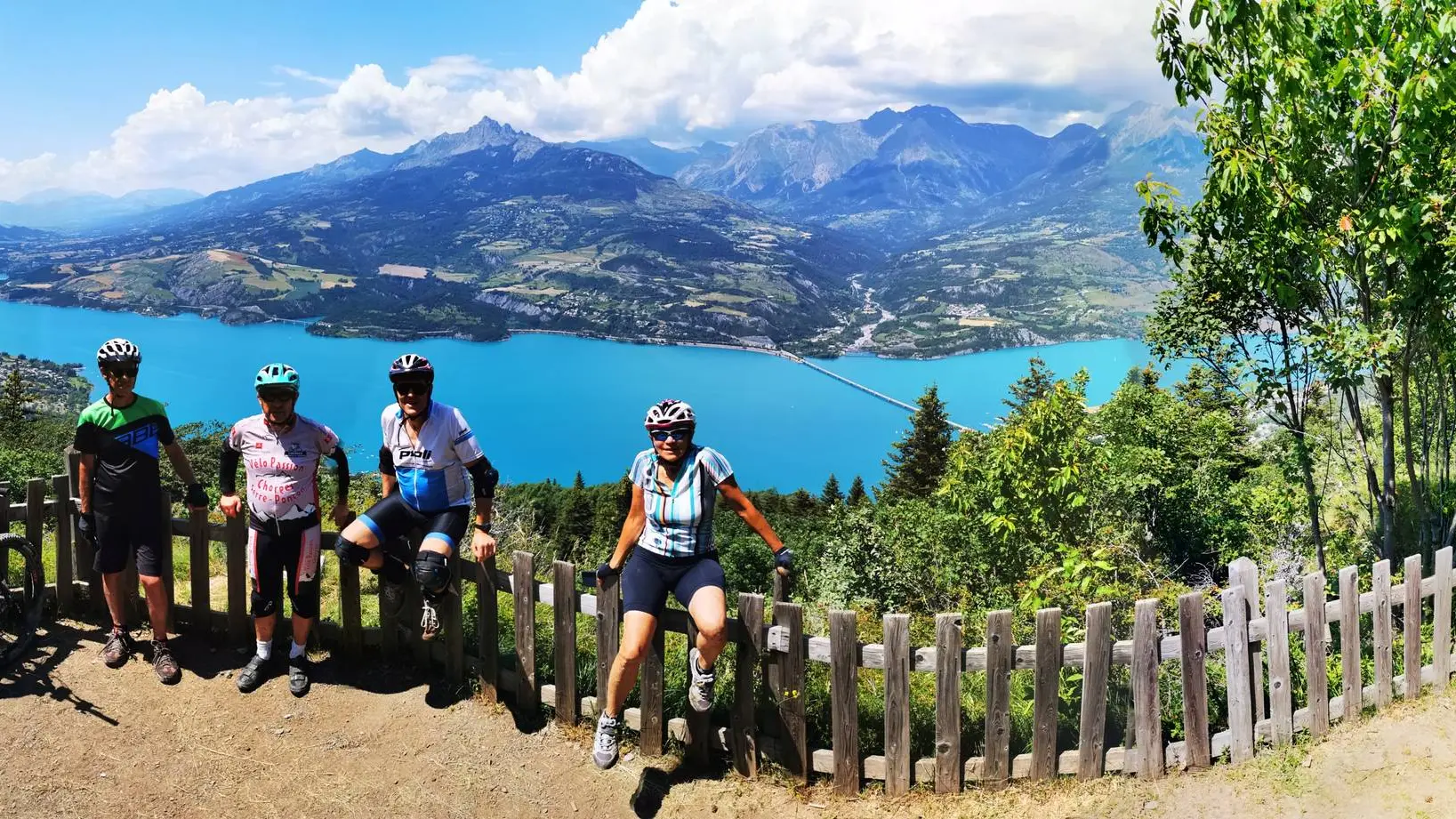
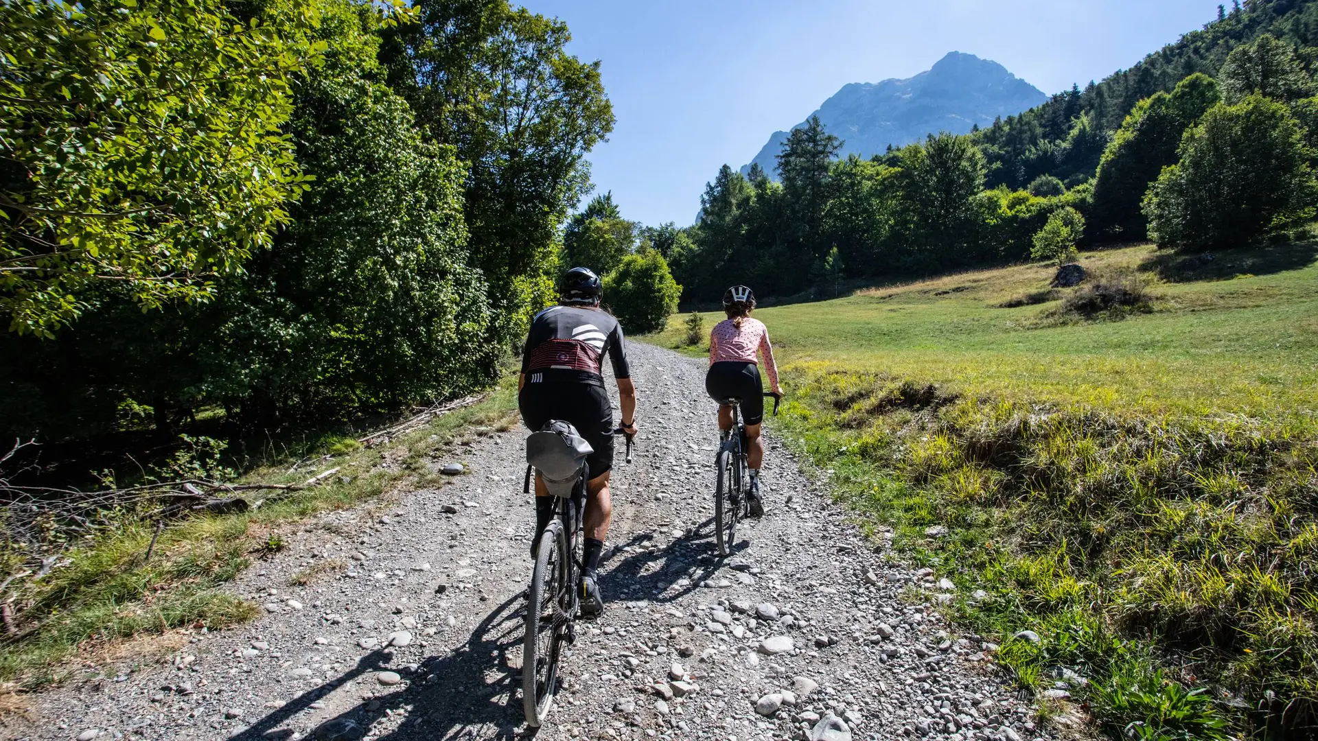
- Voir les favoris
See photos (3)
Loop 62 - Pierre Arnoux
Sport, Cycling sports, Gravel bike route
in Savines-le-Lac
14.6
km
-
An unmissable viewpoint over Lake Serre-Ponçon : The lookout of Pierre Arnoux.
-
From the Relais Fleuri ice cream parlour, head up the street opposite (rue du Morgon). At the torrent du Barnafret, continue straight ahead on the road (D468T).
At the DFCI post, leave the road and climb the track to the right (DFCI H1). Stay on the main track.
At the Pierre Arnoux sign, continue up the main track. Leave the picnic area on the right and continue straight ahead.
At the intersection after the car park, turn left. Stay on the main track. At the Fontaine d'Aubers picnic area,...From the Relais Fleuri ice cream parlour, head up the street opposite (rue du Morgon). At the torrent du Barnafret, continue straight ahead on the road (D468T).
At the DFCI post, leave the road and climb the track to the right (DFCI H1). Stay on the main track.
At the Pierre Arnoux sign, continue up the main track. Leave the picnic area on the right and continue straight ahead.
At the intersection after the car park, turn left. Stay on the main track. At the Fontaine d'Aubers picnic area, take the main track on the left.
At the Charbonnières picnic area, turn left and continue straight ahead on the main track. After the bridge, keep left and join the road back down to Savines-le-Lac. Stay on rue du Morgon until you get back to the ice cream parlour and maybe treat yourself a well-deserved sweet treat?
Easy
- Departure
- Savines-le-Lac
-
-
Difference in height
- 1119.47 m
-
-
-
Departure : Savines-le-Lac.
Arrival : Savines-le-Lac.
Road access : From Grenoble, Lyon, Paris : RN 85 or RN 75. At Gap, take the RN 94 towards Briançon.
From Marseille, Montpellier A51 to La Saulce, continue towards Tallard (D942) and Briançon (RN 94)..
Parking recommended : Le Relais Fleuri glacier car park, Savines le Lac .
Public transport : SNCF: Chorges station, Embrun https://www.sncf-connect.com/
Bus : Valserres, La Bâtie Neuve, Chorges, Puy Saint Eusèbe, Puy Sanières, Embrun Baratier, Les Orres, Remollon, Theus, Espinasse
Marseille-Briançon : (LER29)
Marseille, Nice : Lignes Express Régionales (LER) +33 (0)809 400 415
Grenoble : Transisère +33 (0)4 26 16 38 38
Gap-Barcelonnette (LER535)
Carpooling area : Rond point des Orres - 05200 Baratier
Plane:
Marseille Provence Airport (188km) - +33 (0)820 811 414
Grenoble Alpes Isère Airport (158km) - +33 (0)4 76 65 48 48
Lyon Saint Exupéry Airport - (203km) +33 (0)826 800 826
Turin Caselle Airport - (178km) + 39 011 567 63 80 .
- See all reviews
- 1119 meters of difference in height
-
- Maximum altitude : 1352 m
- Minimum altitude : 801 m
- Total positive elevation : 1119 m
- Total negative elevation : -655 m
- Max positive elevation : 214 m
- Min positive elevation : -290 m
