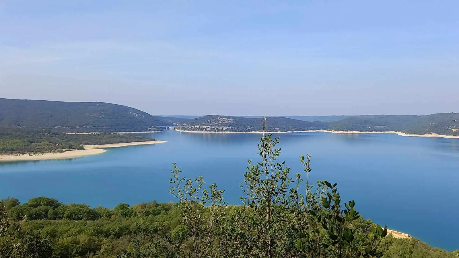
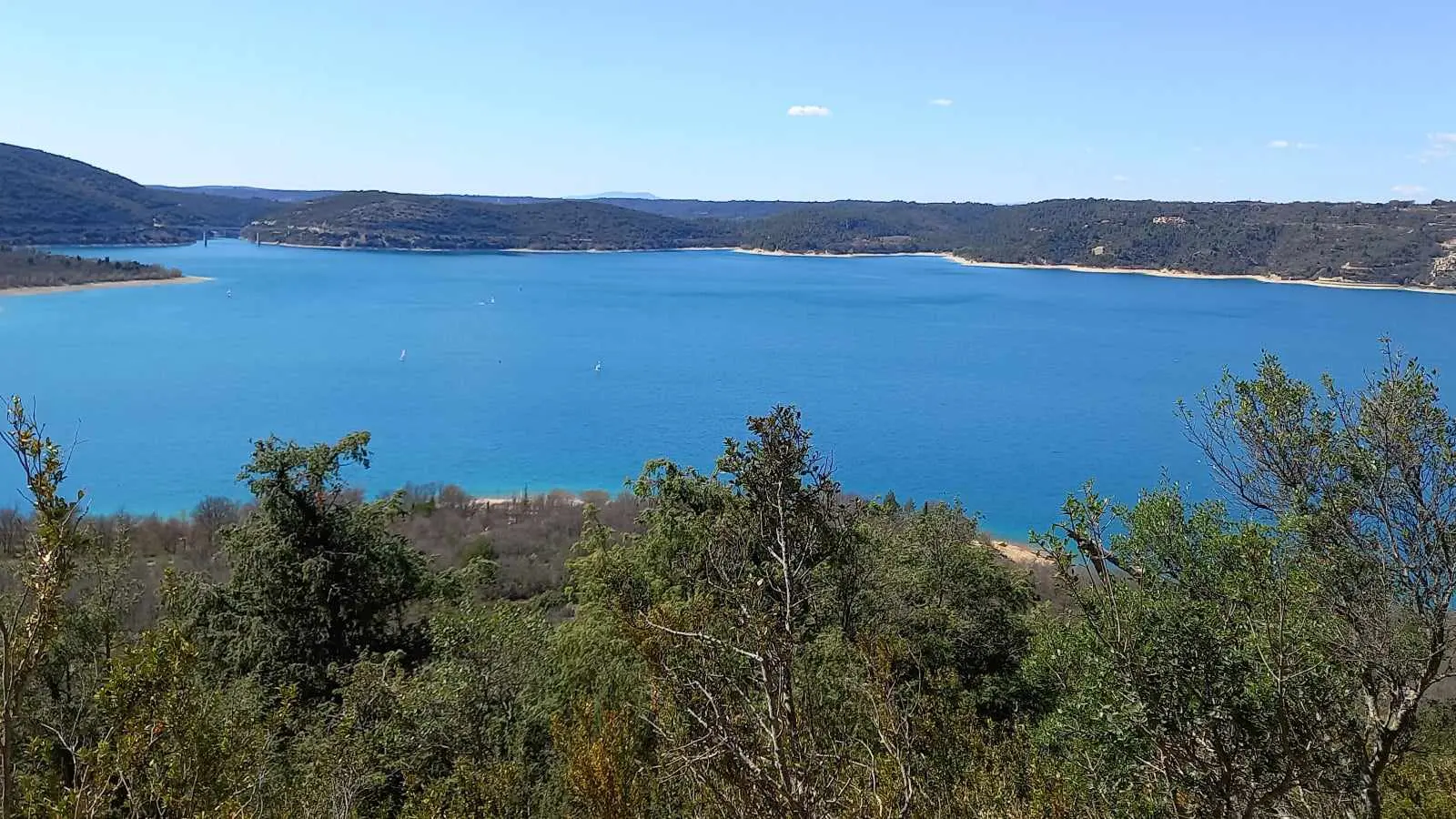
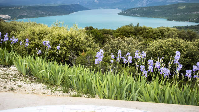
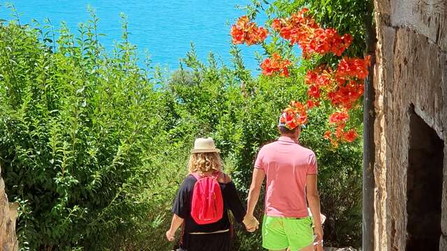
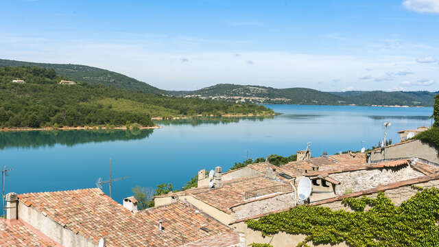
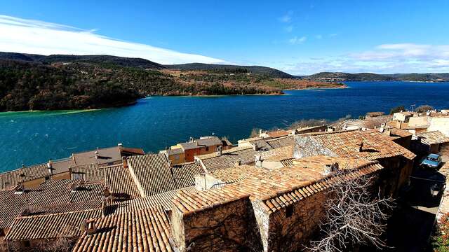
This loop situated in the commune of Bauduen, a small picturesque village leaning against the cliff, will make you discover the coolness of the undergrowth before skirting the emerald water of the Sainte-Croix lake.
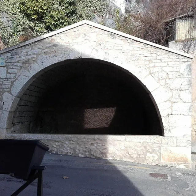
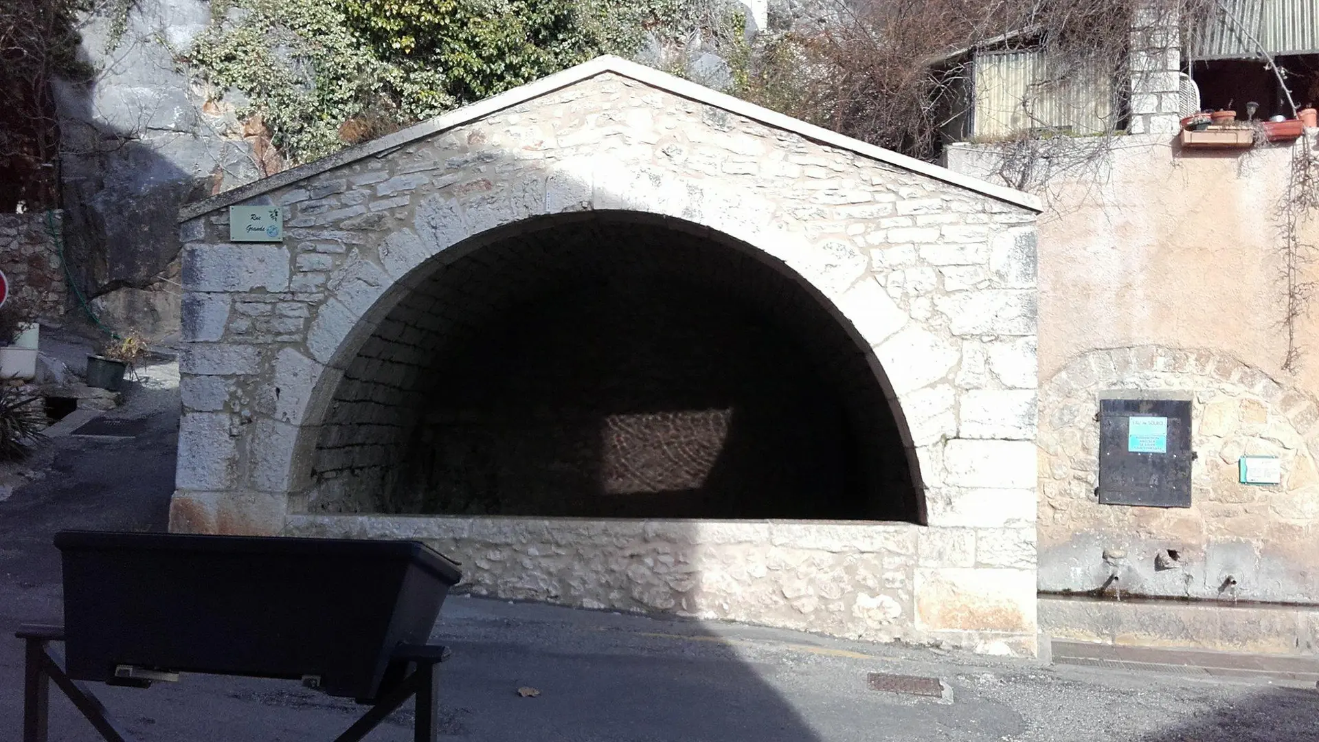
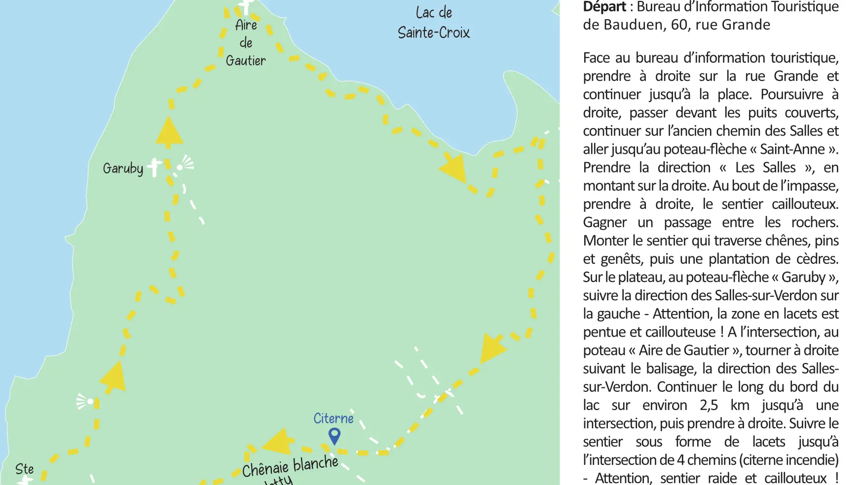
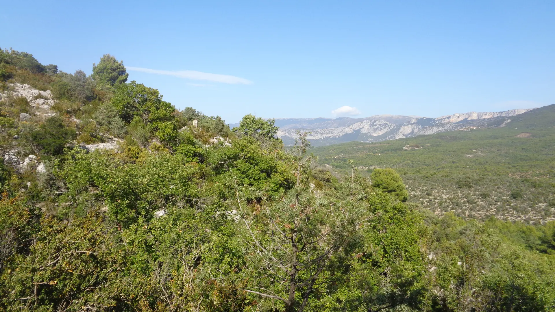
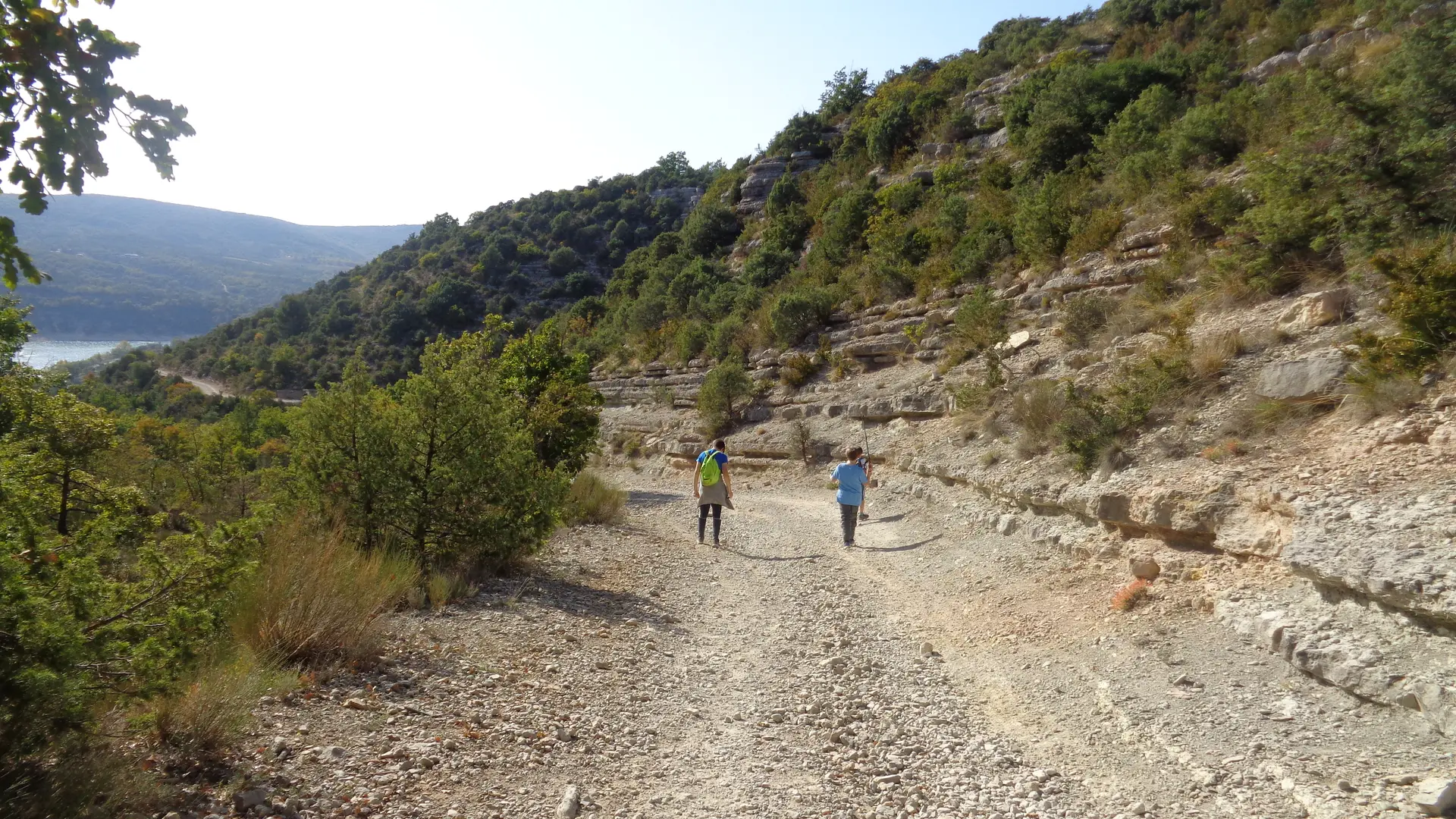
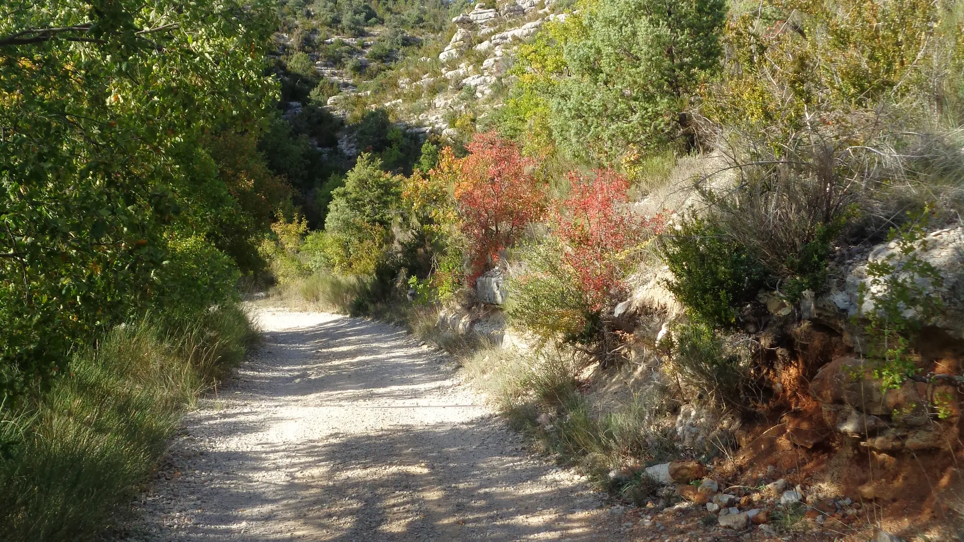
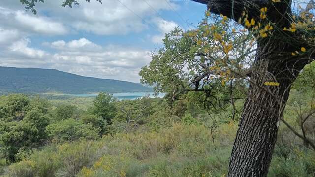
From the tourist information center, turn right onto Rue Grande and continue to the main square. Turn right again, pass the covered wells, and follow the old path to Les Salles until you reach the arrow sign marked ‘’Sainte-Anne’’. Take the path to ‘’Les Salles’’, climbing to the right. At the end of the dead-end, turn right onto the stony path. Continue through a rocky passage and climb the path through oaks, pines and broom, followed by a cedar plantation. At the plateau, at the ‘’Garuby’’ arrow sign, turn left towards Les Salles-sur-Verdon - Be careful, the winding section is steep and stony! At the next sign, ‘’Aire de Gautier’’, turn right following the marking, towards Les Salles-sur-Verdon. Follow the lakeside for about 2.5 km until a crossroads and turn right. Climb the winding path to a four-way crossroads with a firewater tank - Be careful, this section is also steep and rocky! Go downhill to the right just after the tank, into the Caletty gorge valley. Go through the forest barrier and continue on the asphalt track to the left alongside an olive grove. After the sharp bend, turn right and return to the village.
To see the hike on a map, click here: https://shorturl.at/9KTAC
Read more
Plain text period
All year round daily.
Before hiking, check whether access to forest areas is authorised: https://www.risque-prevention-incendie.fr/var/.