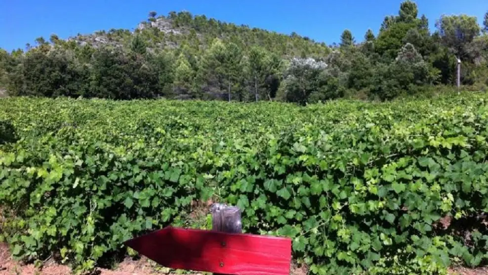
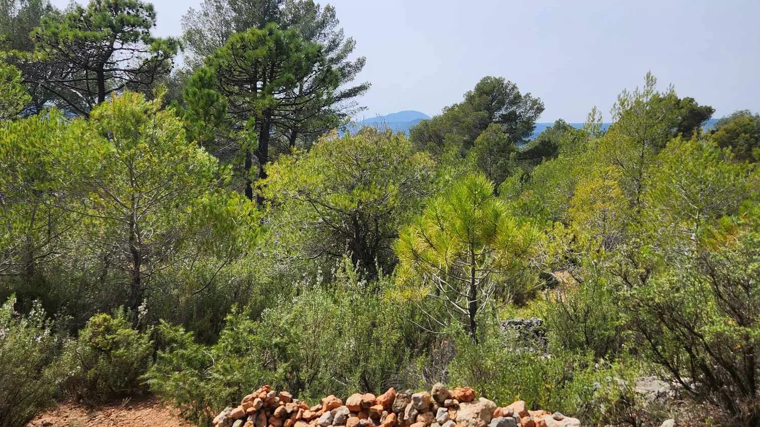
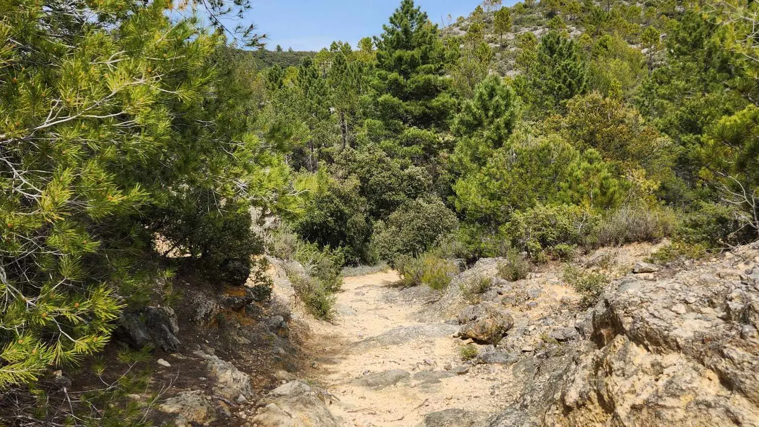
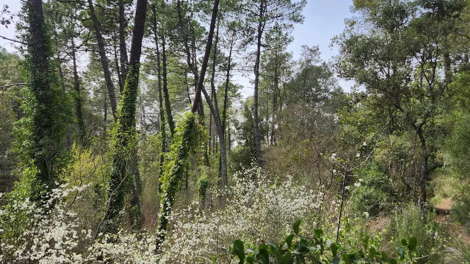
The Domaine Saint Jean de Villecroze is located in the heart of Provence, halfway between Aix-en-Provence and Nice. It extends over 80 hectares of hills covered with vines and olive trees, forests of umbrella pines and truffle oaks.
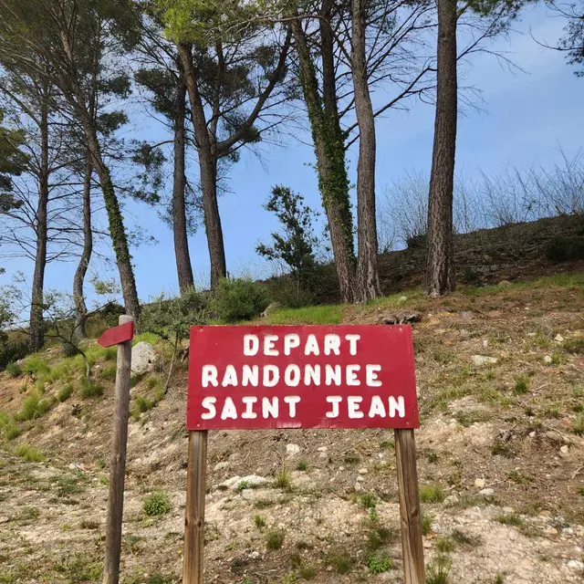
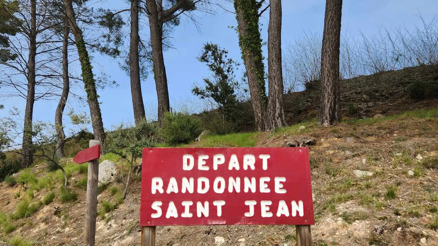
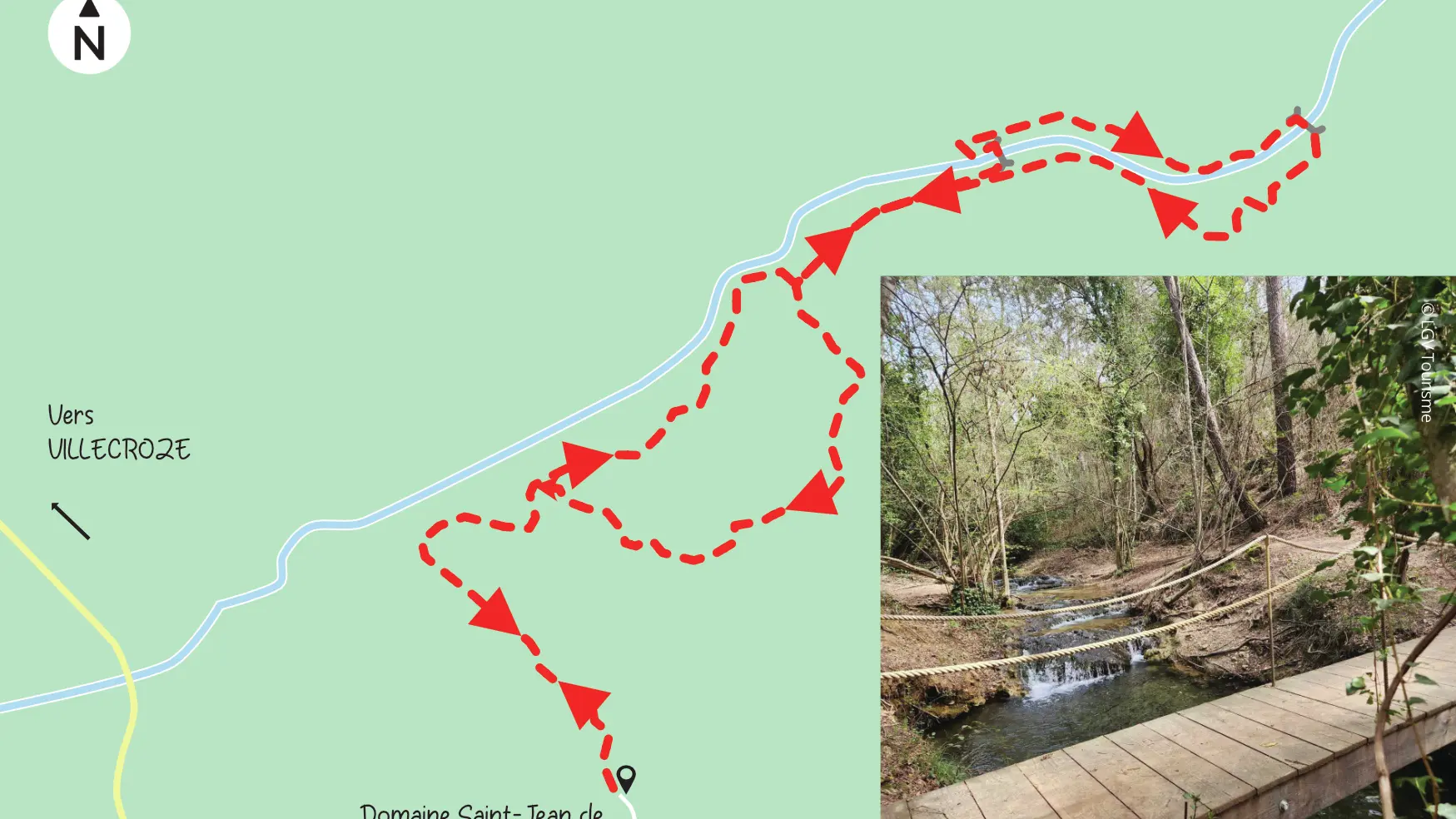
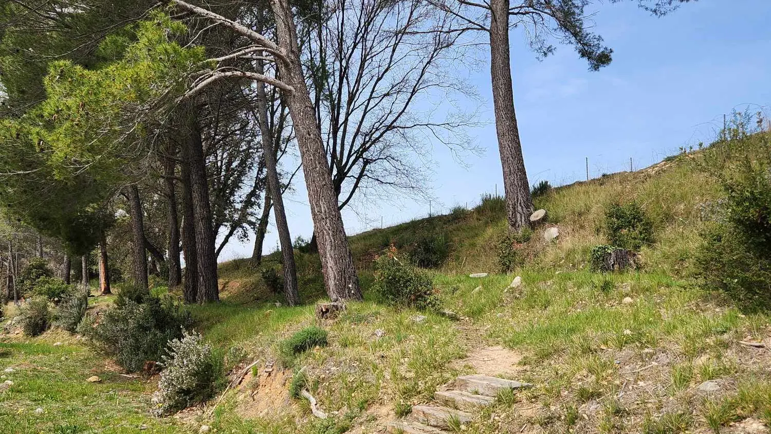
The 3 km Saint John hike has been carefully studied so that walkers can discover both a magnificent site and unparalleled vegetation.
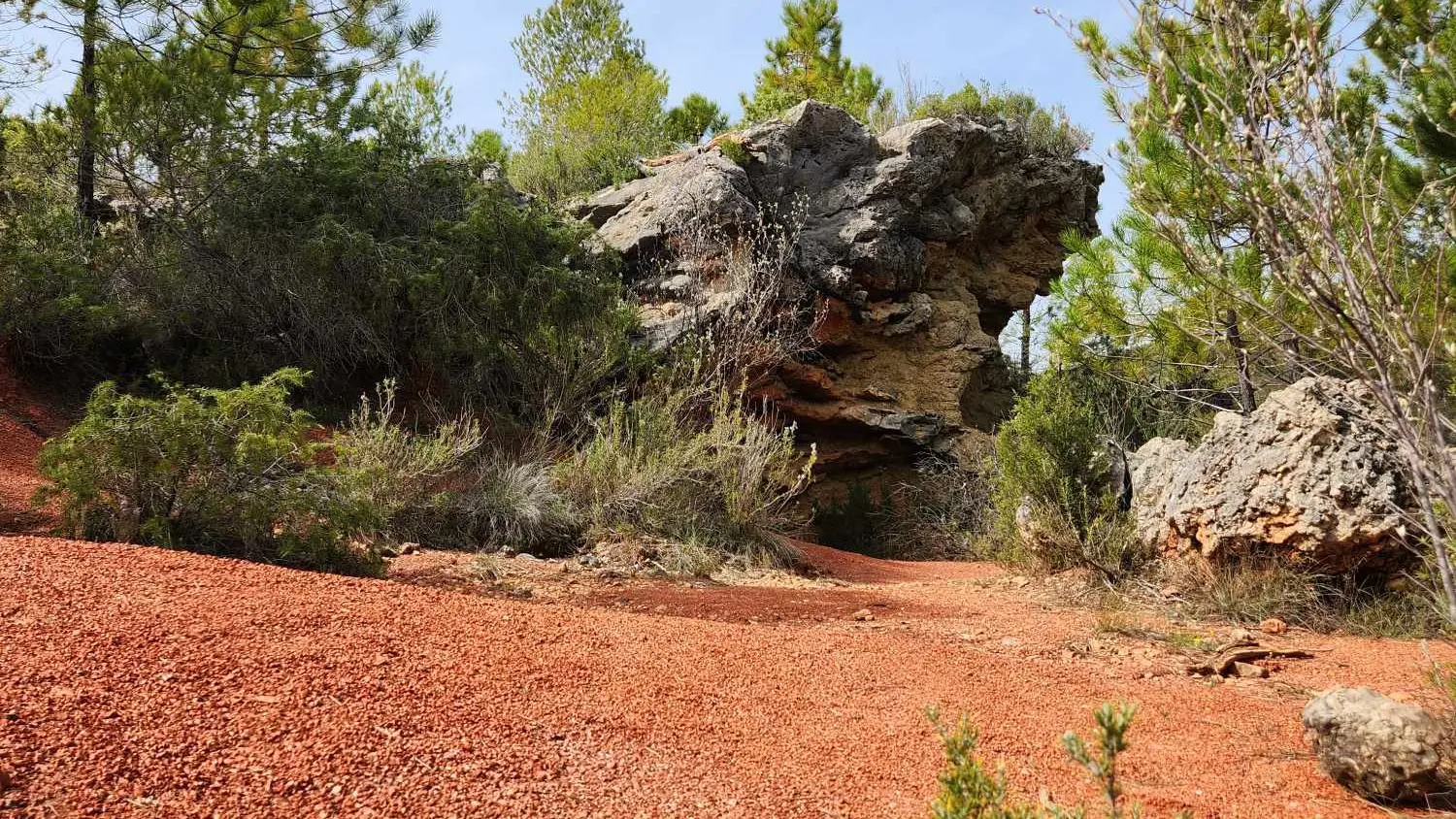
Through these hills of the Haut-Var, we can recognize many plant species such as juniper, Aleppo pine, maritime pine, Villard broom, all kinds of ferns and different kinds of thyme and serpolet.
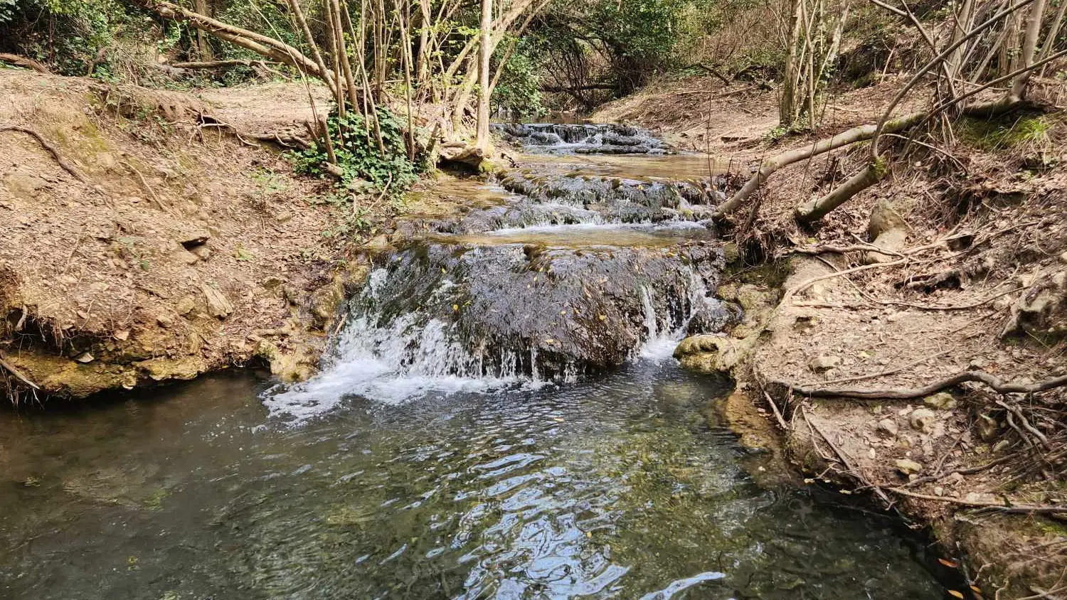
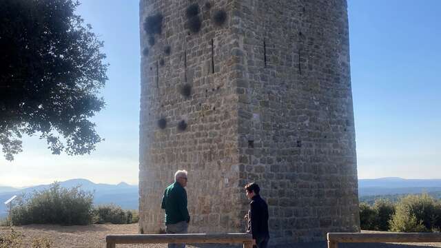
The walker will have the opportunity to admire a Roman aqueduct and 2 beautiful waterfalls.
It takes about an hour and a half to walk on this signposted and safe hike.
Departure and return to the cellar of the Domaine Saint-Jean de Villecroze.
To see the hike on the map, click here: https://shorturl.at/xWb7L
Read more
Plain text period
All year round daily.
Closed exceptionally on January 1st and December 25th.
Before hiking, check whether access to forest areas is authorised: https://www.risque-prevention-incendie.fr/var/.