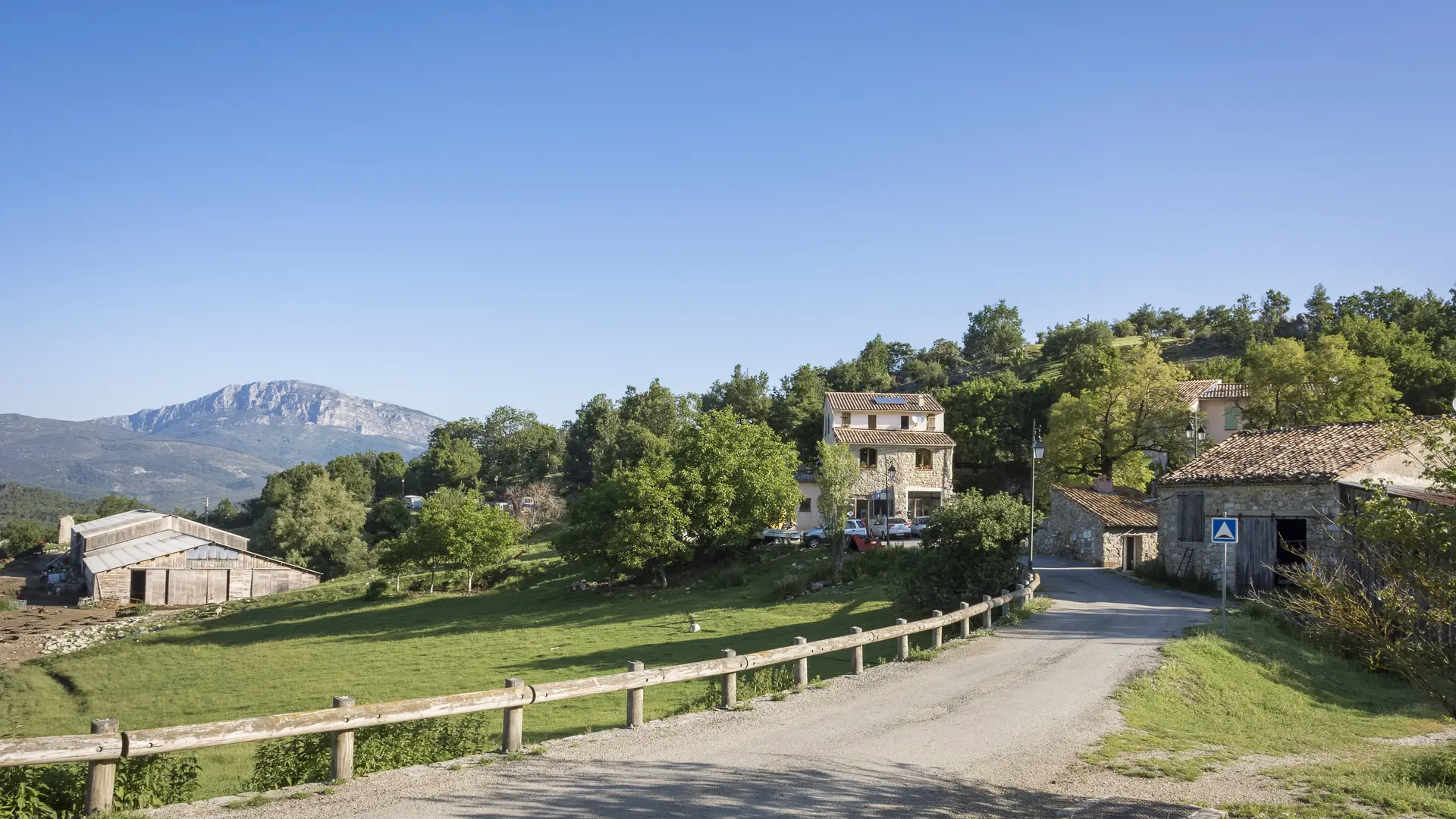
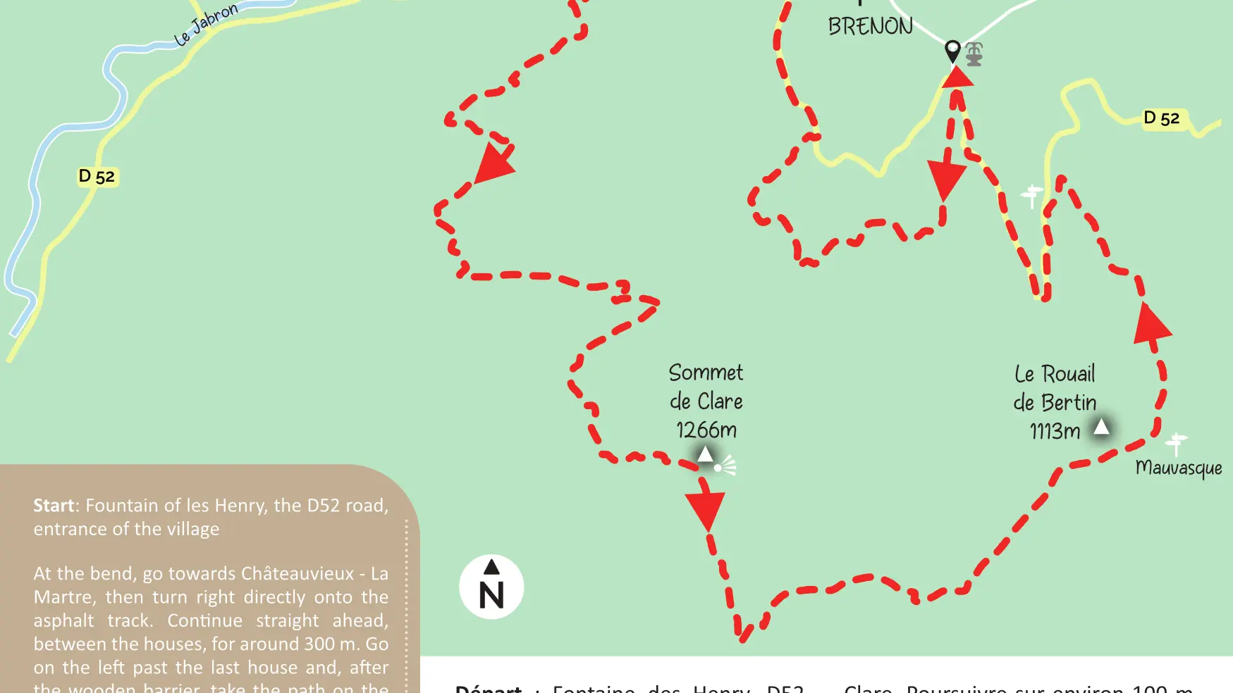
At the bend, go towards Châteauvieux - La Martre, then turn right directly onto the asphalt track. Continue straight ahead, between the houses, for around 300 m. Go on the left past the last house and, after the wooden barrier, take the path on the right. Stay on this track, then turn right to go on a downhill path. When you reach the D52 road, turn left and continue as far as the sharp bend. At the bend, take the forest track on the right, go through the barrier and enter the Maurin-Clare state forest. Continue for about 100 m, then take the path that crosses the forest track and continue to the Clare top enjoying several viewpoints. Once at the top, admire the 360° view. Follow downhill, passing under the Scots pine trees - Be careful, it's a rocky and stony section! At the clearing, follow the track to the right, then the rocky path. Pass through an area where there was an old fire. At the ‘’Mauvasque’’ arrow sign, take the path on the left towards ‘’Ribas’’ and wander through the forest. At the next arrow sign, turn left along the road and go back to the start.
To see the hike on the map, click here: https://shorturl.at/Y4SG3
Read more