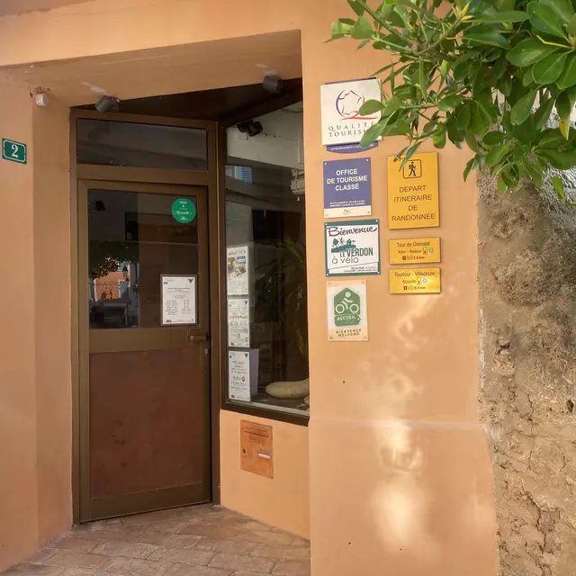
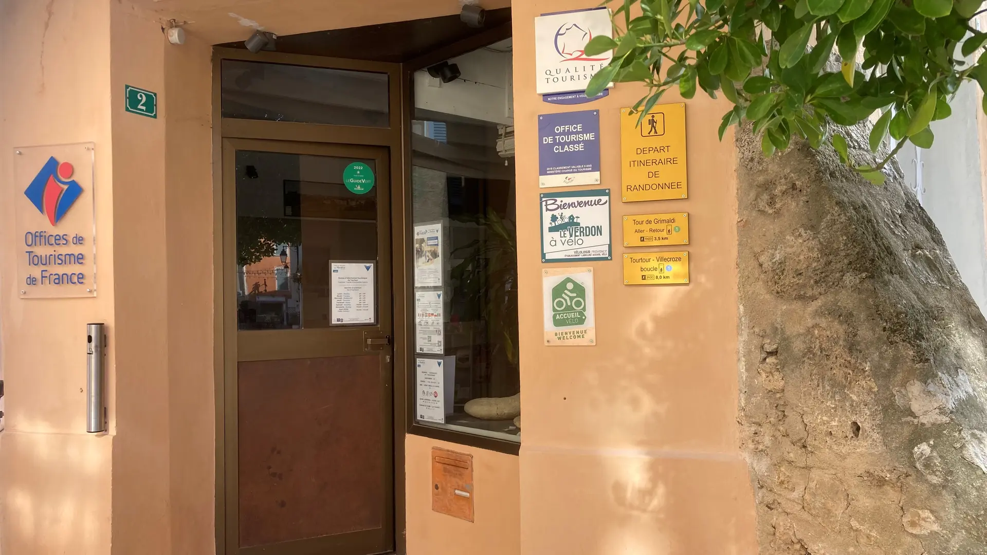
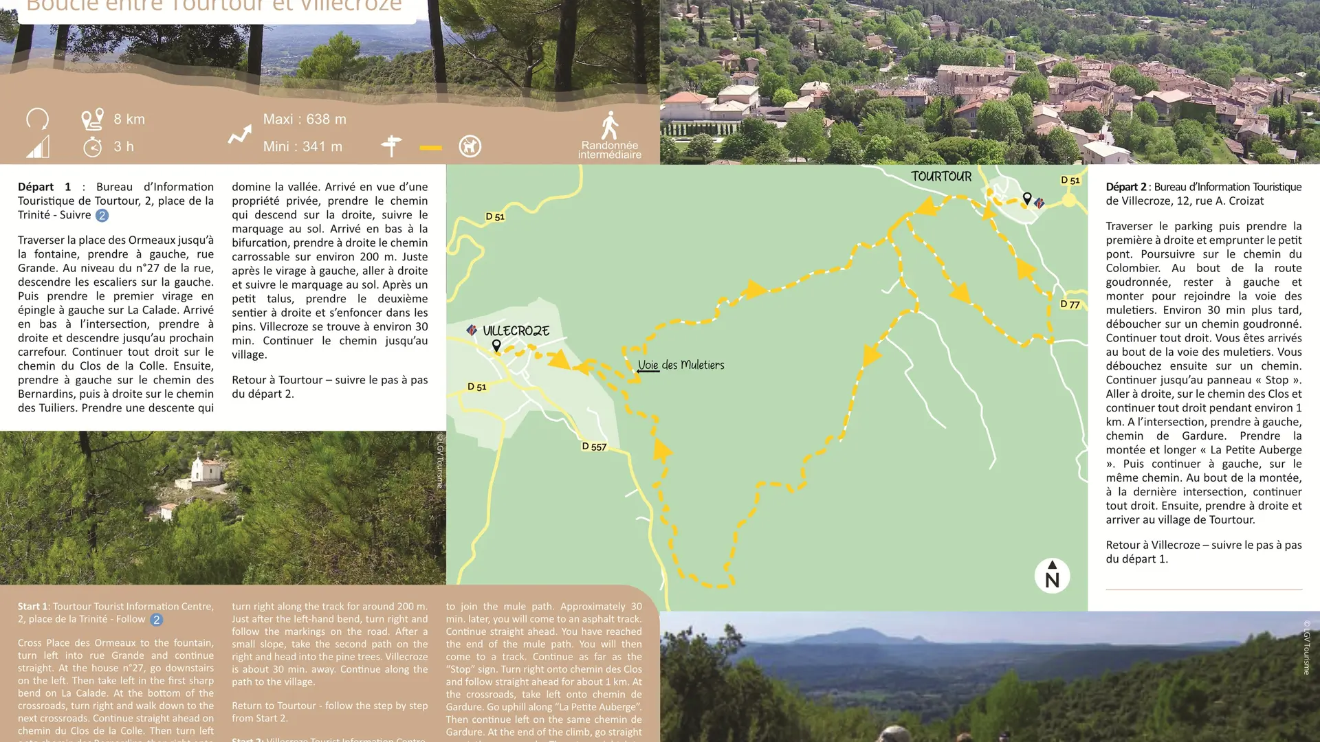
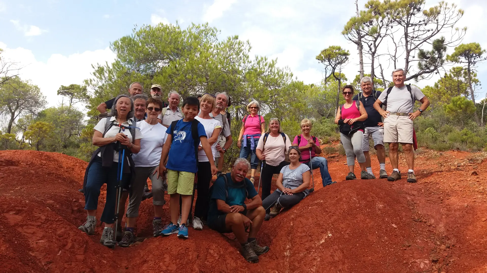
The walk starts at the Tourtour Tourist Information Centre
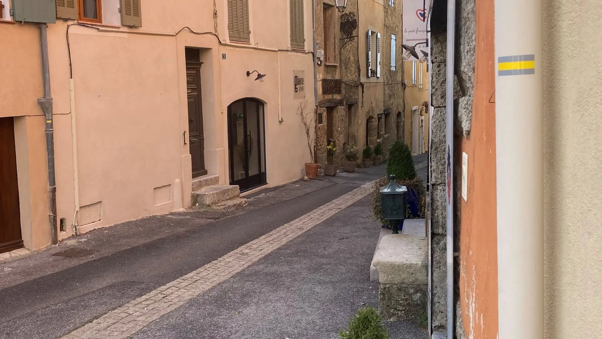
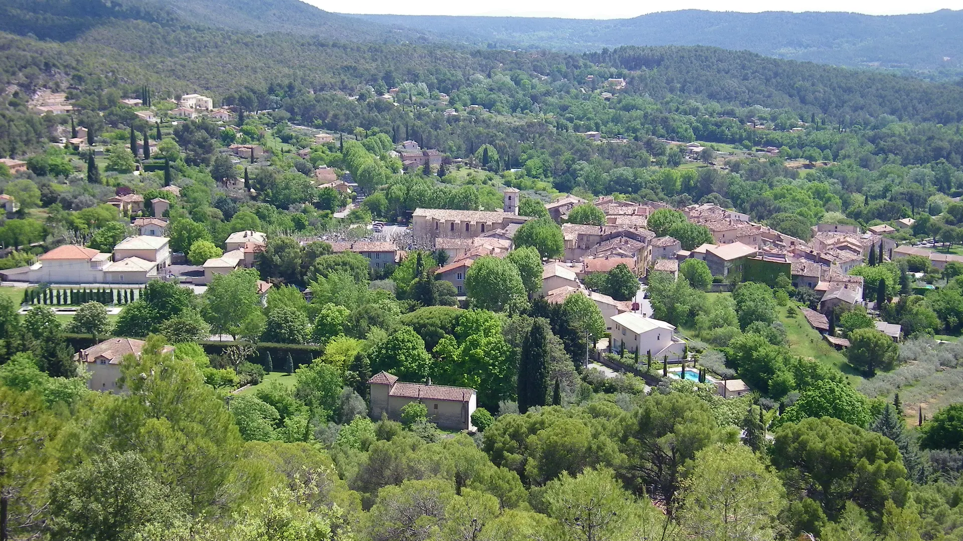
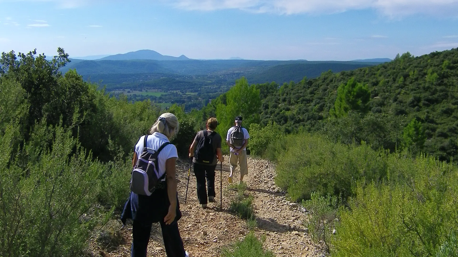
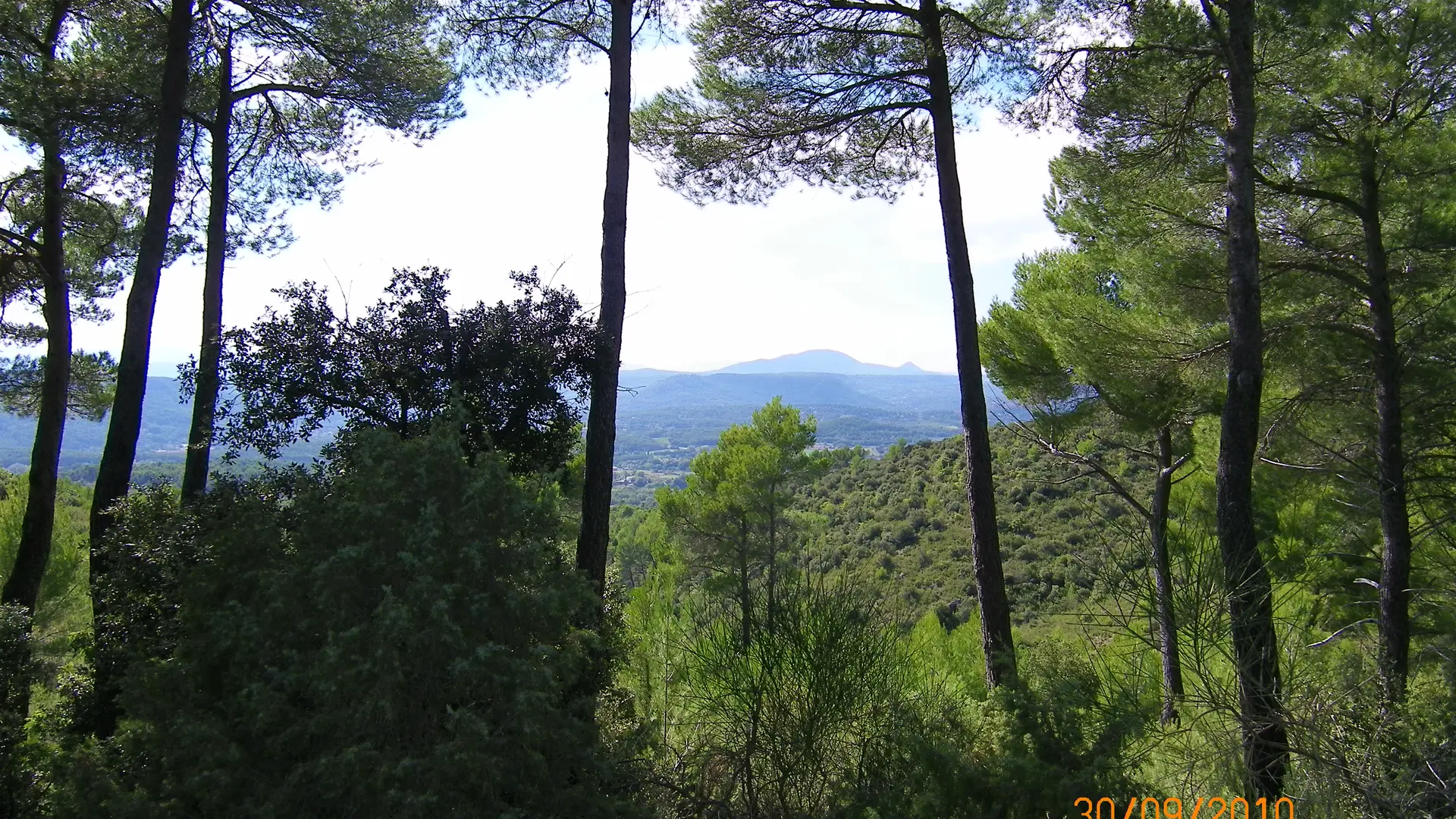
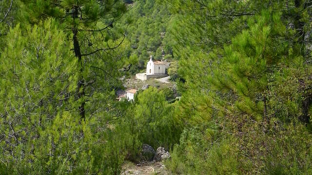
Cross Place des Ormeaux to the fountain, turn left into rue Grande and continue straight. At the house n°27, go downstairs on the left. Then take left in the first sharp bend on La Calade. At the bottom of the crossroads, turn right and walk down to the next crossroads. Continue straight ahead on chemin du Clos de la Colle. Then turn left onto chemin des Bernardins, then right onto chemin des Tuiliers. Take a downhill path overlooking the valley. When you come to a private property, take the path down to the right, following the markings on the road. At the bottom of the valley, at the crossroads, turn right along the track for around 200 m. Just after the left-hand bend, turn right and follow the markings on the road. After a small slope, take the second path on the right and head into the pine trees. Villecroze is about 30 min. away. Continue along the path to the village. Go back the way you came. Continue on chemin du Colombier. At the end of the asphalt road, keep left and go uphill to join the mule path. Approximately 30 min. later, you will come to an asphalt track. Continue straight ahead. You have reached the end of the mule path. You will then come to a track. Continue as far as the ‘’Stop’’ sign. Turn right onto chemin des Clos and follow straight ahead for about 1 km. At the crossroads, take left onto chemin de Gardure. Go uphill along ‘’La Petite Auberge’’. Then continue left on the same chemin de Gardure. At the end of the climb, go straight on at the crossroads. Then turn right into the village of Tourtour.
To see the hike on the map, click here: https://shorturl.at/u31Uf
Read more
Plain text period
All year round daily.
Before hiking, check whether access to forest areas is authorised: https://www.risque-prevention-incendie.fr/var/.