Discover the Montdenier state forest and the Marignol sheepfold. The hike starts in the commune of Moustiers, a 20 minutes drive from the village centre at a place called Naverre (
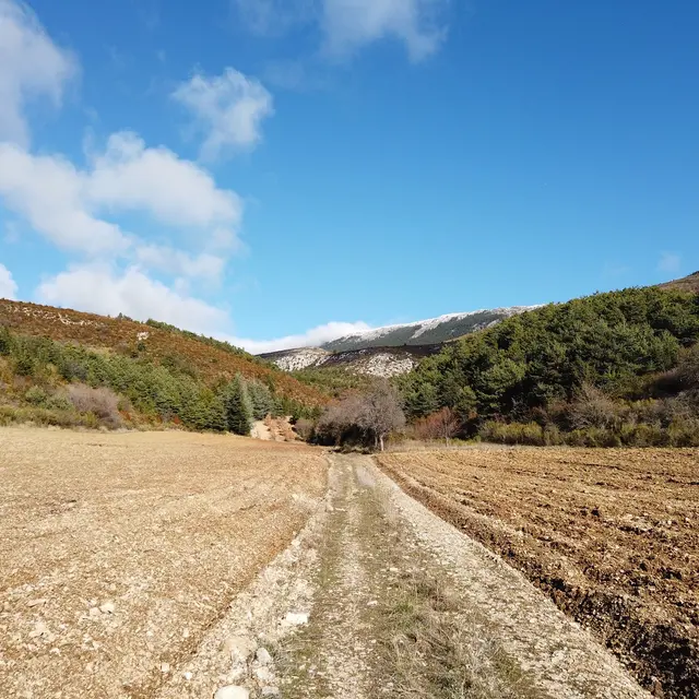
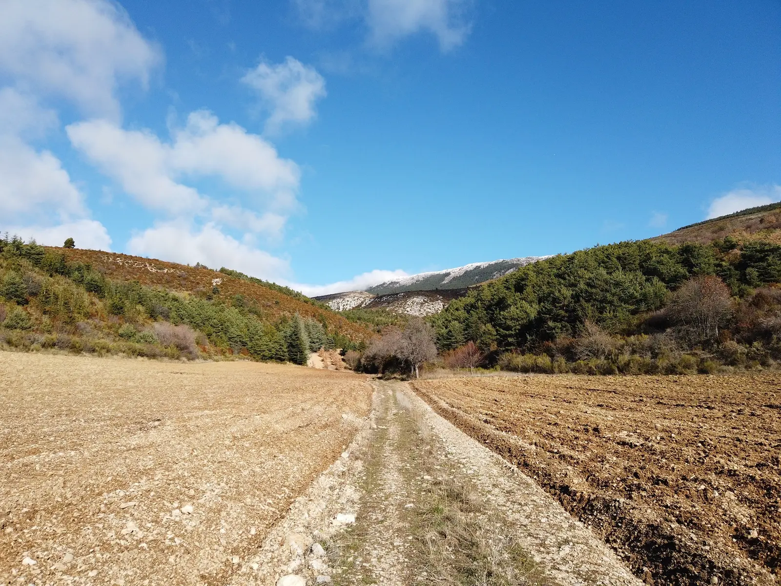
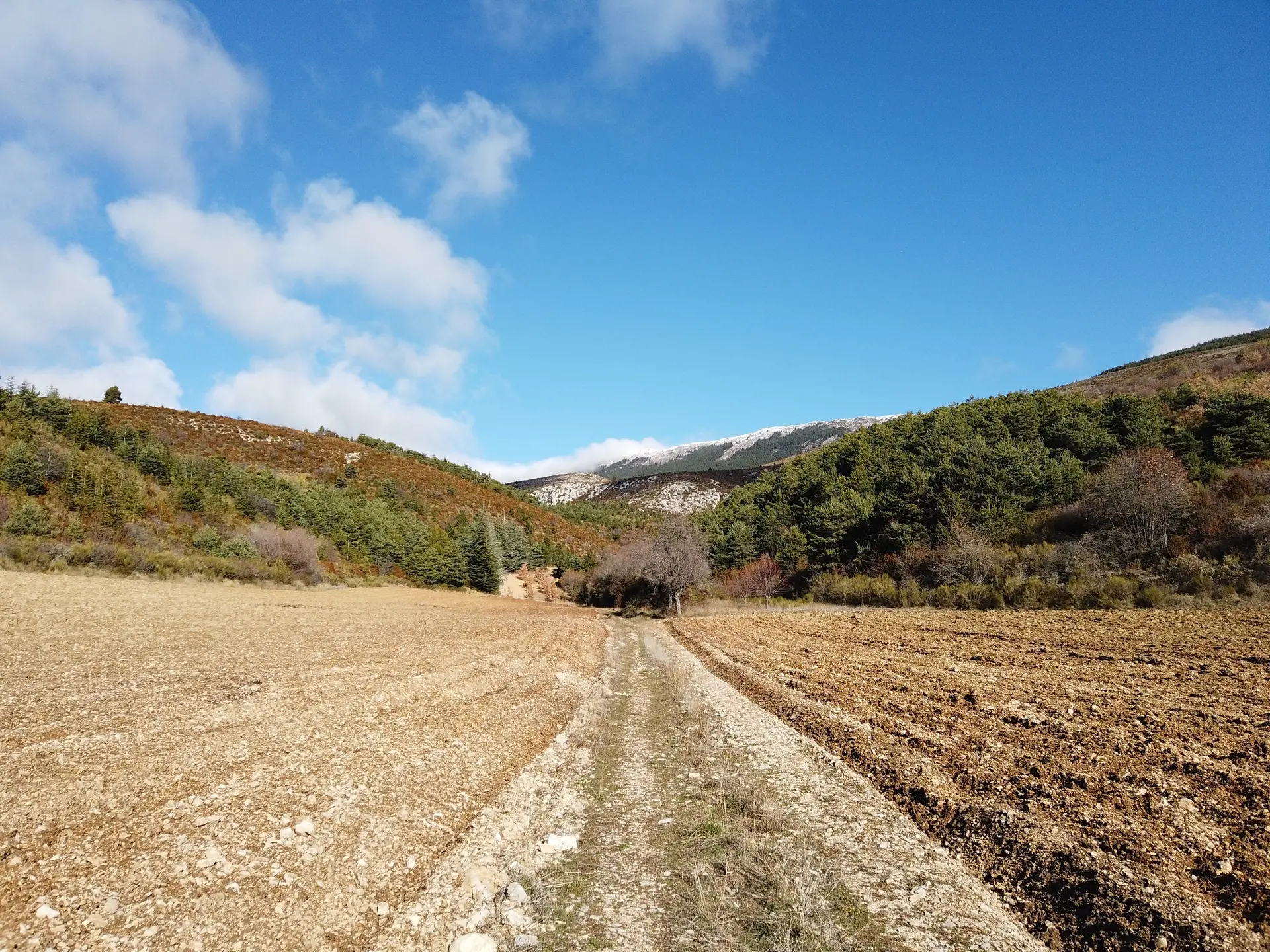
Follow the signs for ‘Collet de Naverre’ along the main road, which is rarely used, on the Vénascle plateau. A steep slope (300 m elevation gain) awaits you to reach Marignol, below the Montdenier forest road.
Turn right to reach the Marignol sheepfold. This old sheepfold is owned by the ONF (French National Forestry Office) and serves as a refuge.
Follow the signs for Vincel to descend. You will arrive at the Montdenier campsite. Continue on past the Vincel farm. After the hamlet, take the tarmac road to return to your car.
10.7km · 400m D+ · 4h30
Read more