- Voir les favoris
See photos (4)
Marinet Lakes and Mary Pass
Sport, Pedestrian sports, Hiking itinerary
in Saint-Paul-sur-Ubaye
16.2
km
7h
Very difficult
-
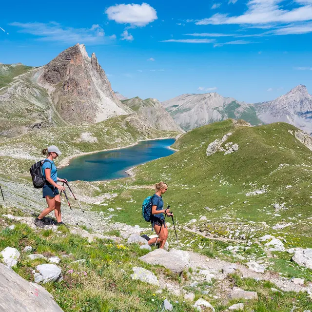
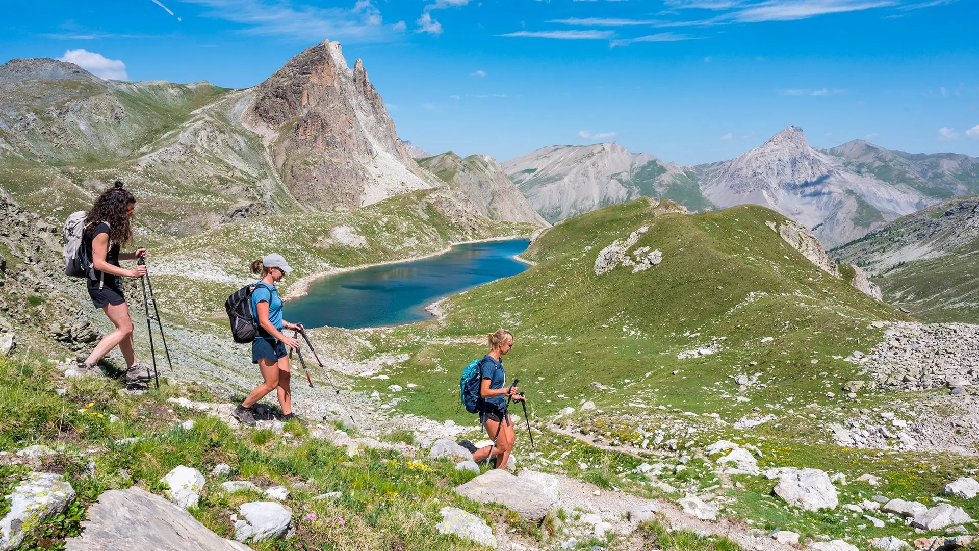
Nestled at the foot of the Aiguille de Chambeyron (3,412m) and the last glaciers of Haute-Ubaye, the Marinet Lakes, which you discover after a short trip to Italy, are of incomparable beauty.
-
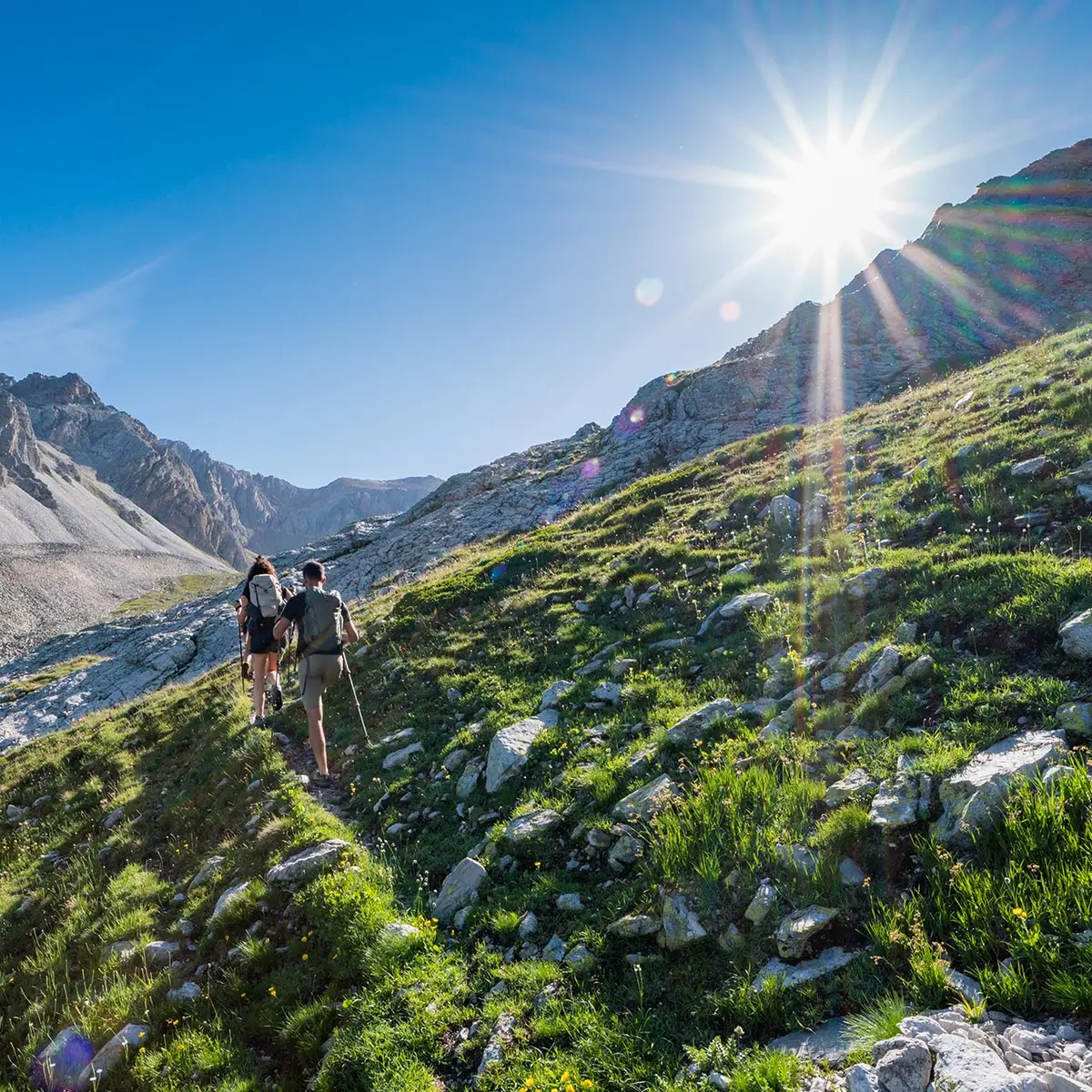
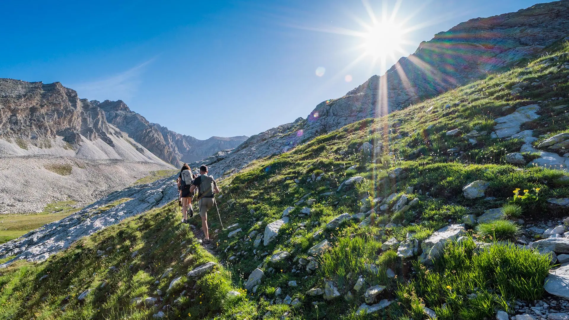
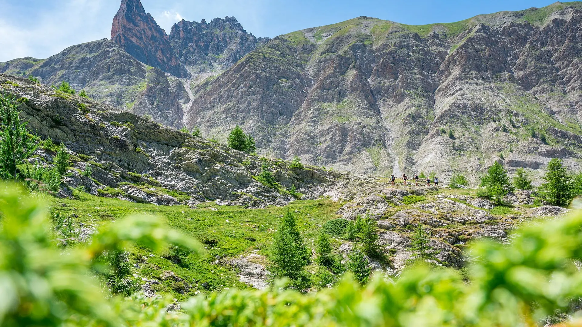
Starting from Maljasset, a remote hamlet with slate roofs, the route climbs up a beautiful valley beneath the impressive Aiguille Pierre-André to the sheepfolds and Col de Mary.
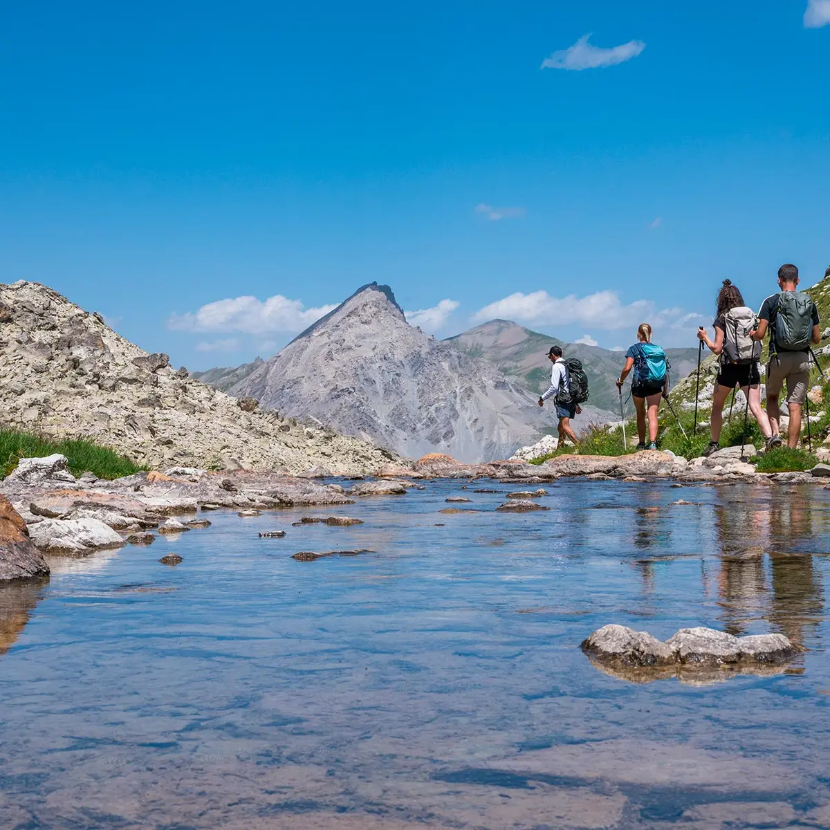
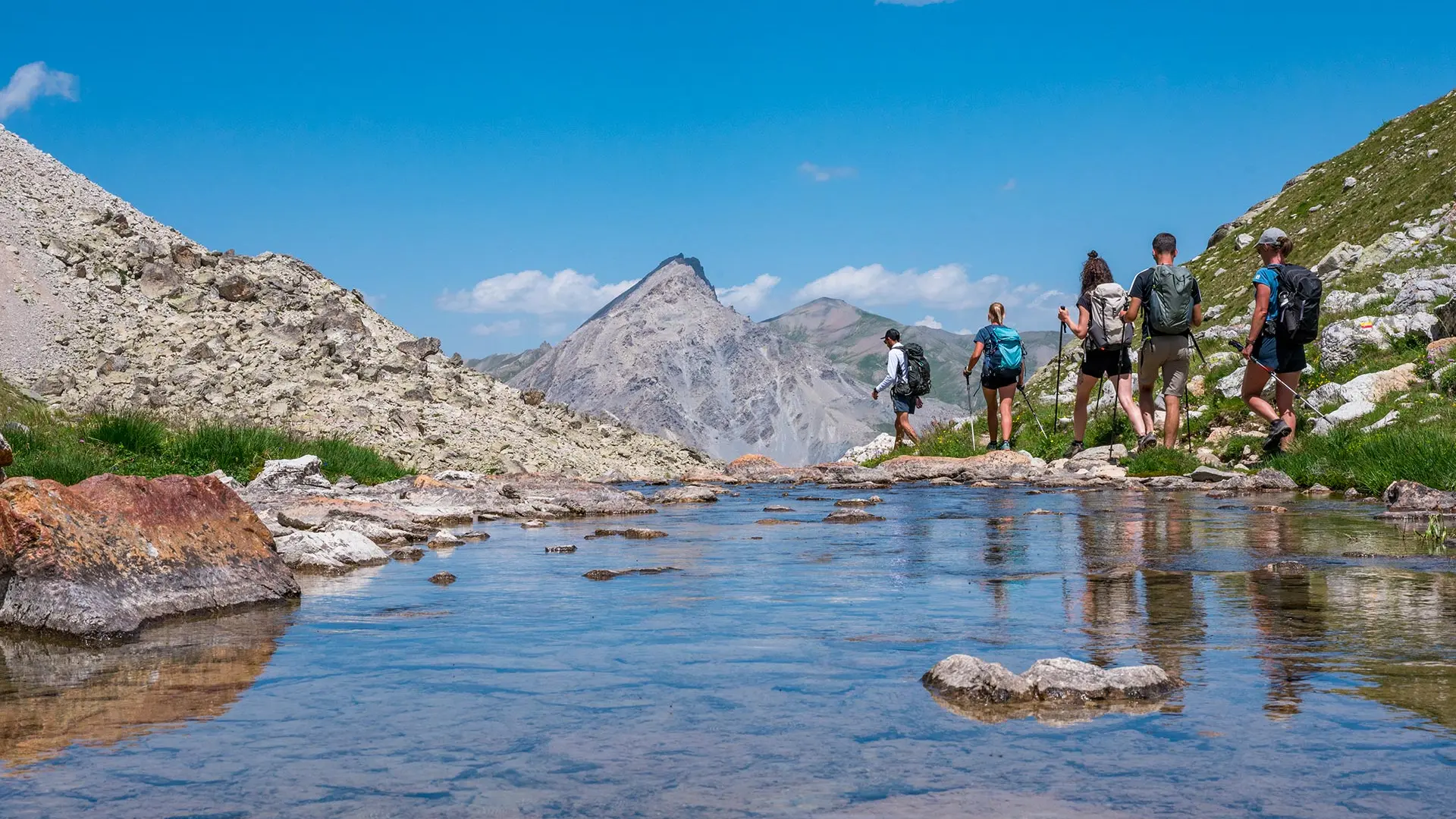
After a brief detour into Italy, the descent to the lower Marinet lakes is a highlight of the circuit.
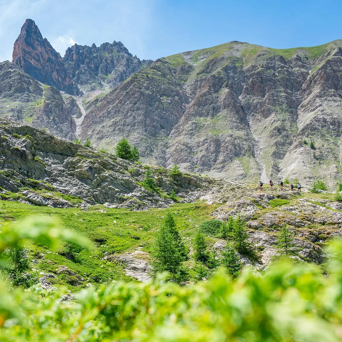
The return to the Mary valley is easy, with the Pics de la Font Sancte (3,385m) as a backdrop.
- Departure
- Saint-Paul-sur-Ubaye
-
-
Difference in height
- 889.635 m
-
-
-
Documentation
- GPX / KML files allow you to export the trail of your hike to your GPS (or other navigation tool)
-
-
-
Accepted customers
-
- See all reviews
- 890 meters of difference in height
-
- Maximum altitude : 2780 m
- Minimum altitude : 1900 m
- Total positive elevation : 890 m
- Total negative elevation : -890 m
- Max positive elevation : 256 m
- Min positive elevation : -256 m
Services
-
-
Services
-
