img-name-mising

Monks' Trail

Sport, Pedestrian sports, Hiking itinerary in Serres
10.5 km
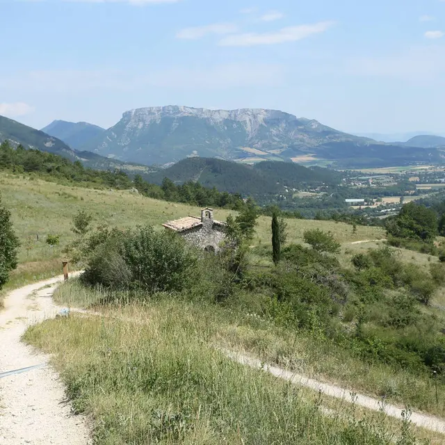
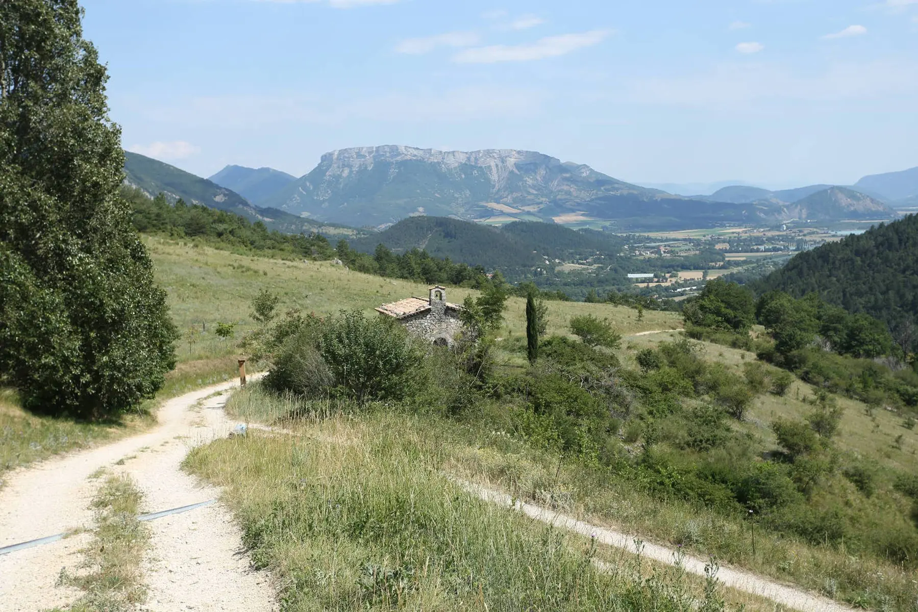
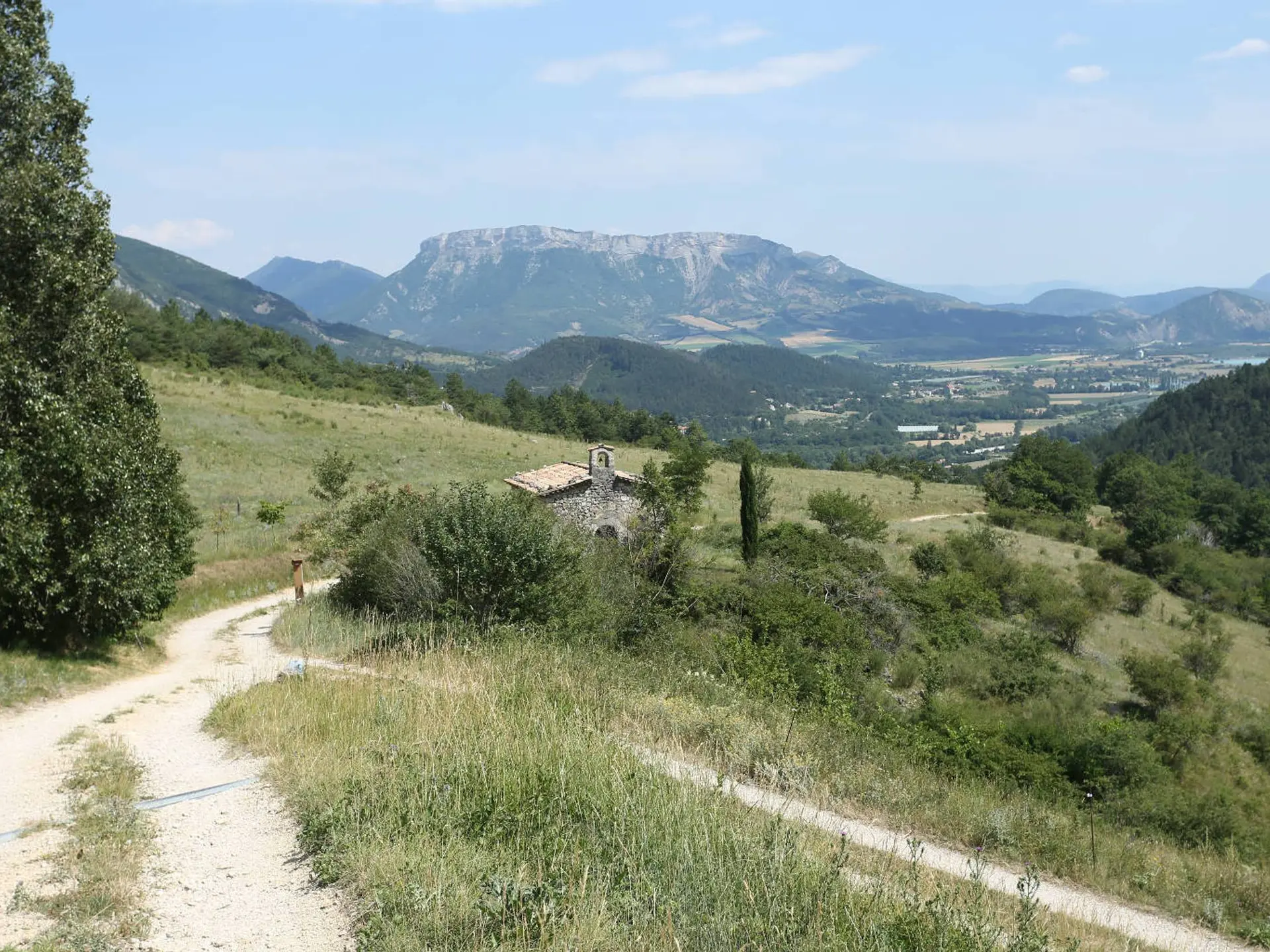
  • A family hike to meet the historical and religious heritage of Serres, passing between chapels and Hebrew tomb.

  • From the fountain, in front of the Tourist Office, turn right on the lane (Saint-Claude) to join the highs of Serres by following the Guérite path Go up the hairpin path that joins the upper part of the city and follow the road "Chemin du château".

    1 - Go right on Chemin de la Chapelle (explanatory panel). Pass at the foot of the Molend tower (14th century) and bypass the small cemetery of the chapel Notre-Dame-de-Bon-Secours. Continue on the trail passing in front of Jewish tomb (14th s),...
    From the fountain, in front of the Tourist Office, turn right on the lane (Saint-Claude) to join the highs of Serres by following the Guérite path Go up the hairpin path that joins the upper part of the city and follow the road "Chemin du château".

    1 - Go right on Chemin de la Chapelle (explanatory panel). Pass at the foot of the Molend tower (14th century) and bypass the small cemetery of the chapel Notre-Dame-de-Bon-Secours. Continue on the trail passing in front of Jewish tomb (14th s), and which rises then in laces under the pines.

    2 - Bend the sharp Rock (842 m) to continue on the ridge of Fontarache. After some steep climbs in the rocks, you get to the Saumane pass (1031 m).

    3 - At the directional post at the pass, turn left and go down towards Serres. Follow the same route as the GR by a path that crosses several times the forest track. Pass in front of the Saumane chapel.

    4 - Continue the track. The track turns into a tarred road to join Serres.

    5 - Enter the village of Serres and arrive near the college, turn left to pass on the esplanade Sainte Catherine (along the school). Find the Tourist Office by continuing through the alleys and vaulted passages (soustets).

    Easy
  • Departure
    Serres
  • Difference in height
    760.512 m
  • Departure : Serres, Tourist Office.
    Arrival : Serres, Tourist Office.
    Road access : 17 km north-west of Laragne-Montéglin by the D1075.
    Parking recommended : Parking de l'Office de Tourisme (place du lac) .
    Public transport : SNCF station of Serres .
  • Documentation
    GPX / KML files allow you to export the trail of your hike to your GPS (or other navigation tool)
761 meters of difference in height
  • Maximum altitude : 1042 m
  • Minimum altitude : 660 m
  • Total positive elevation : 761 m
  • Total negative elevation : -750 m
  • Max positive elevation : 381 m
  • Min positive elevation : -369 m