From the Laval parking lot, take the wide, stony track heading towards the bottom of the Clarée valley (GR de Pays Tour du Mont Thabor), which overlooks the Clarée river on its left bank: continue on this track for just over a kilometer to the Lac Long sign.
At this point, leave the track and take the little path on the right (towards Lac Long des Muandes): this little mountain path rises gradually through the alpine pastures and quickly joins the Riou Sec stream as far as the Lac Long weir.
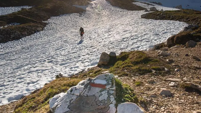
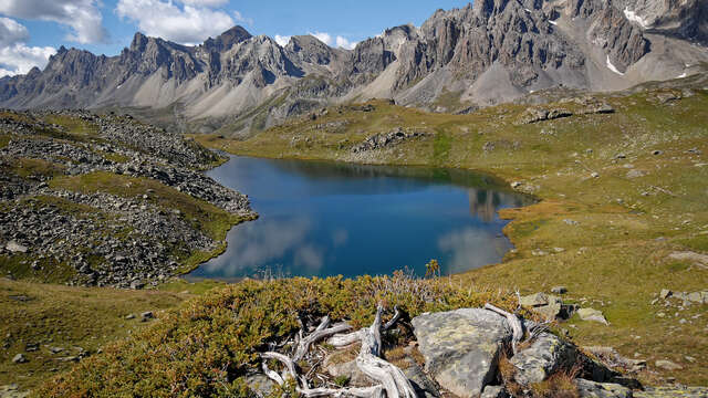
Continue along the main path skirting Lac Long on the left; the path then rises again to reach Lac Rond at 2446 m altitude: continue for around 20 minutes and cross a "rocky field", being careful. Keep as far to the left as possible, as the route becomes less visible in the rocks.
Once on the heights, the path descends towards Lac Rond: take care to skirt around the lake to the left to pick up the GR57 near its spillway.
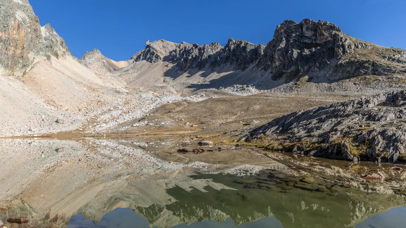
The GR57 then continues quietly through this vast valley dotted with numerous small streams, to reach a 3rd, smaller lake (Lac des Muandes).
The path then climbs along the torrent, crossing it to begin the ascent towards the Col: the path winds between ochre-coloured rocks, and the scenery becomes more mineral.
You soon reach the foot of the Col des Muandes, and a steep ascent through scree begins to reach the lunar Col des Muandes.
Once over the pass, turn left towards Roche du Chardonnet: the path follows a rocky ridge line to cross the Col de Valmeinier, then gradually continues under the Roc de Valmeinier to reach the Col de la Chapelle.
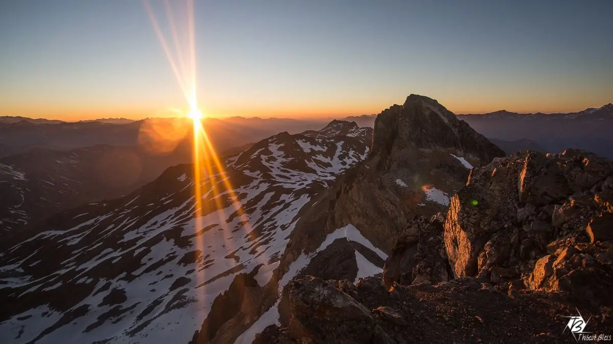
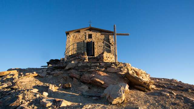
Below the Pointe des Angelières, a final, sustained climb begins up the lunar slopes of the Thabor, quickly joining the route from the Vallée Étroite, then the Chapelle Notre Dame des sept Douleurs.
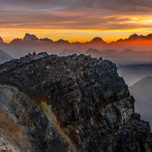
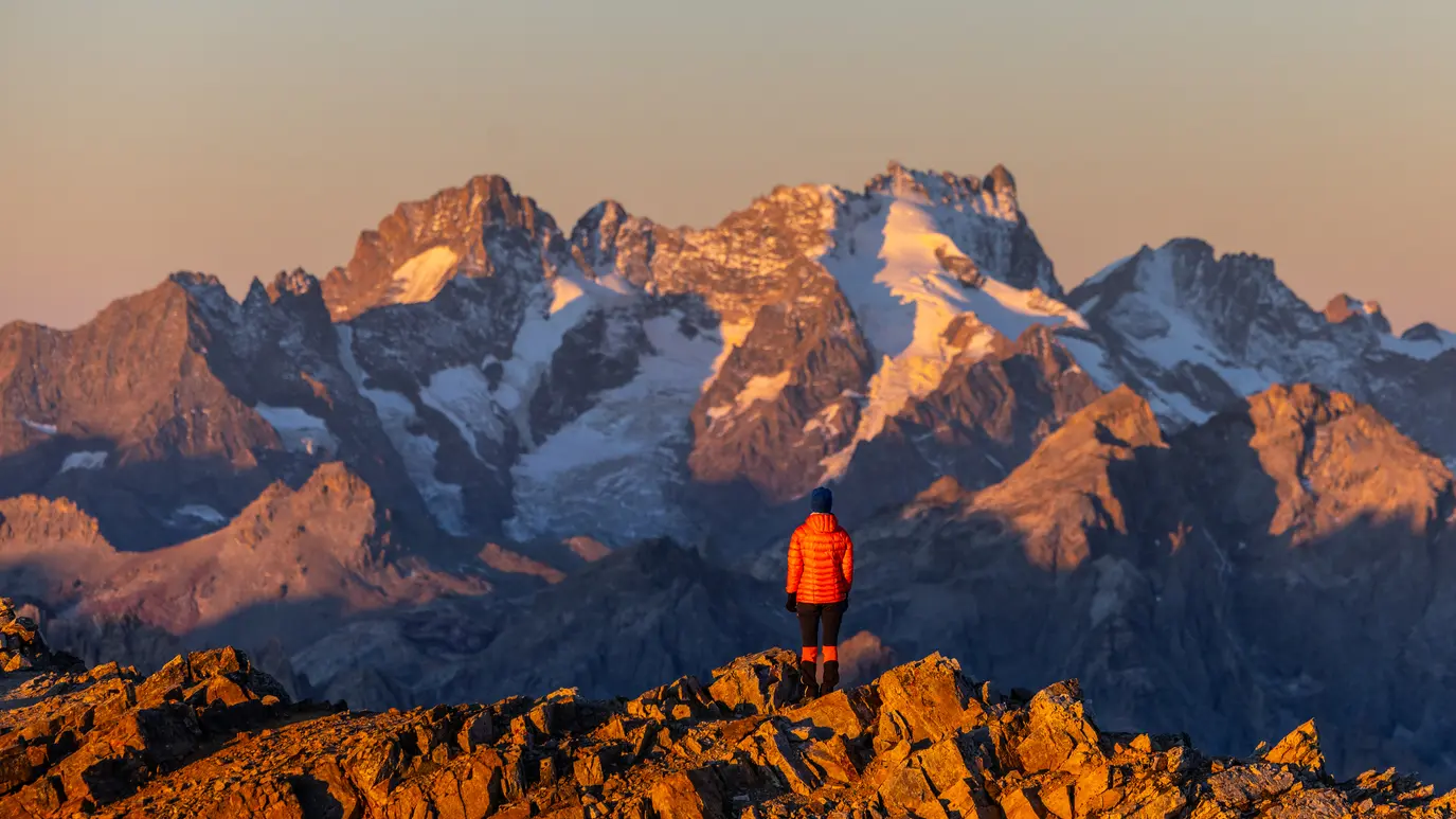
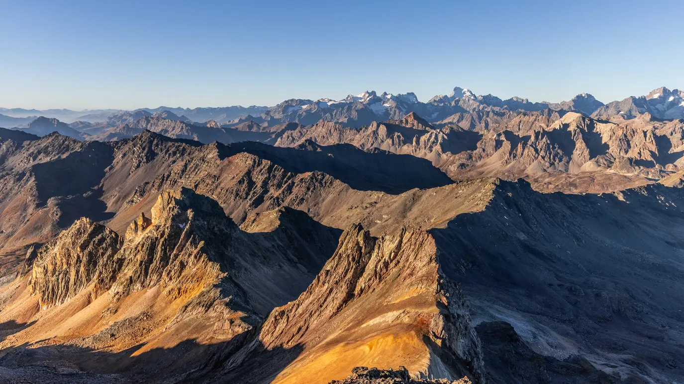
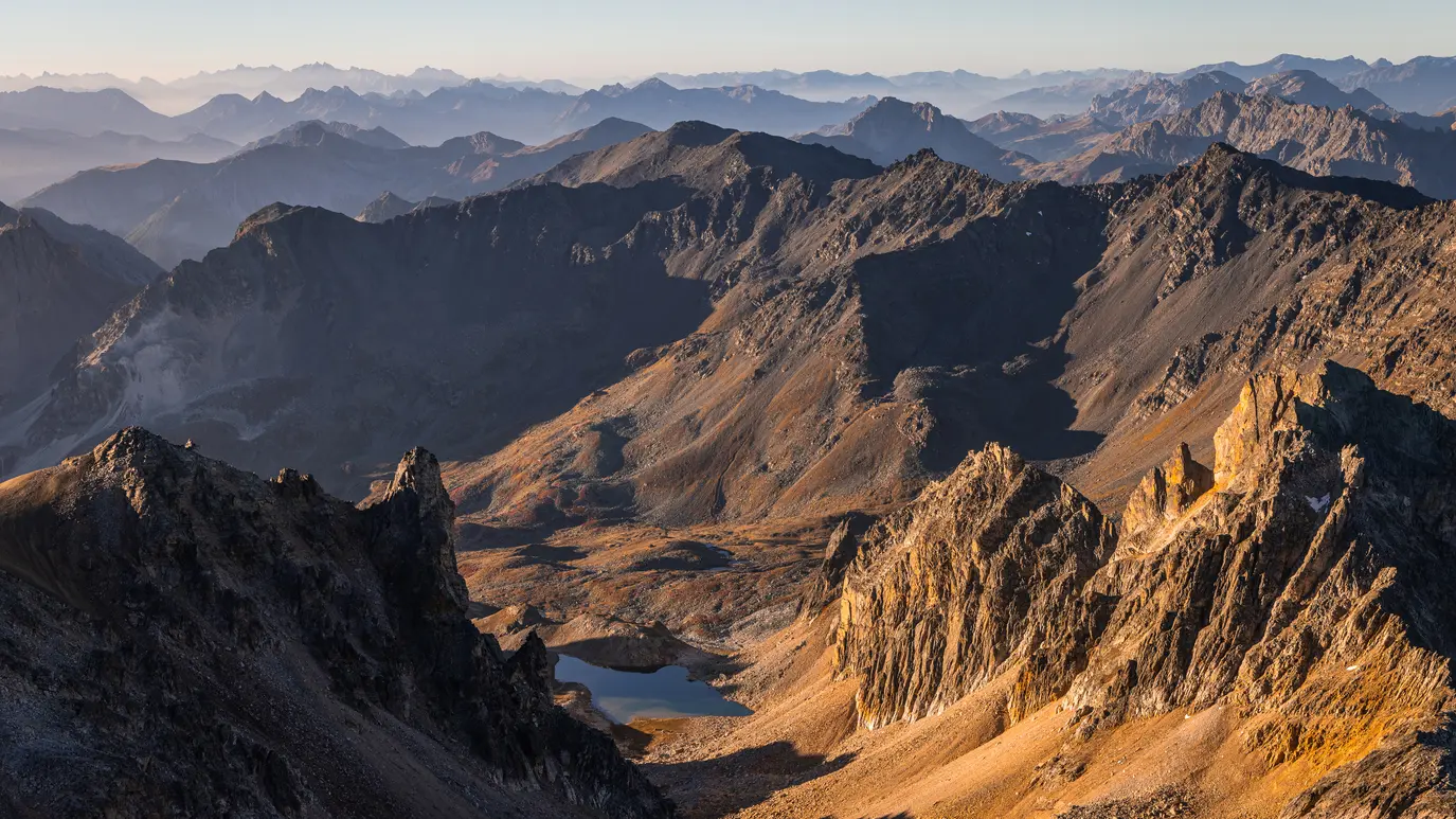
An exceptional panorama then opens up: Les Agneaux and Pelvoux, La Barre des Écrins, la Meije, les Aiguilles d'Arves, Mont Blanc in the distance (which may be hidden by the Pic du Thabor depending on your location), the Vanoise Massif to the north (Aiguille de Péclet, la Dent Parrachée) and its glaciers, the Italian peaks with Mont Viso to the south-east, then the Briançonnais to the south, and the Queyras...
Please note: for safety reasons, as the building is in danger of collapsing, access to the interior of the Thabor chapel is now impossible, following a security mission.
At the start of the season, check the snow conditions on Le Thabor before you set off.
As a general rule, we recommend climbing it from July onwards.
Please note: for safety reasons, as the building is in danger of collapsing, access to the interior of the Thabor chapel is now impossible, following a security mission.
Read more